

Joffre Lakes Provincial Park
Fast facts
- Established: 1988
- Size: about 5.6 square miles (14.6 km²)
- Features: Lower, Middle and Upper Joffre lakes, below the Matier Glacier
- Indigenous name: Pipi7íyekw, in the unceded territories of the Líĺwat Nation and N’Quatqua
- Gateway: Pemberton
- Managed by: BC Parks, with the Líĺwat Nation and N’Quatqua
The landscape
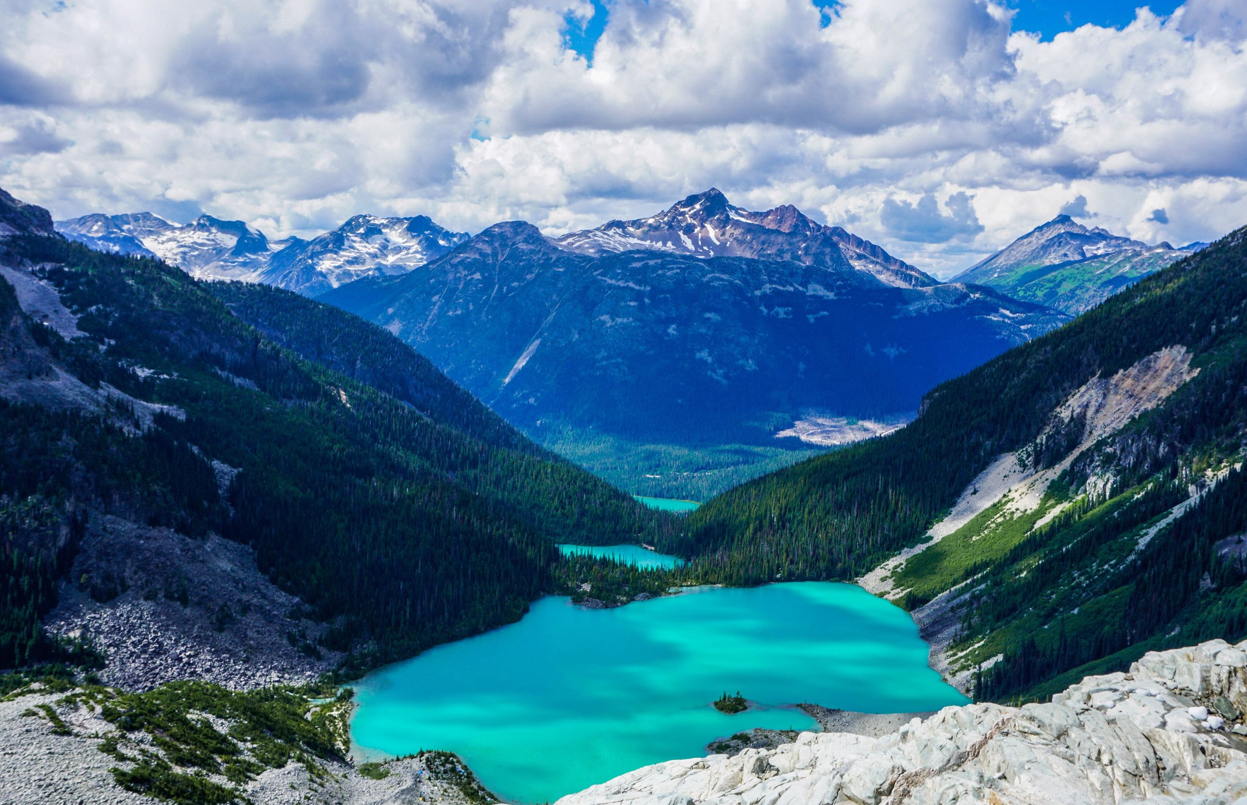
Joffre Lakes is a small, steep park in the Coast Mountains. Three lakes step up a valley, each coloured a vivid turquoise by glacial rock flour, with the Matier Glacier and icefields hanging above the upper lake. Waterfalls, cold streams and subalpine forest fill the gaps between them. Pikas, marmots and mountain goats live in the rock above.
Best time to go
The trail is usually snow-free from July into October, and the lakes are at their most colourful in midsummer. The park is busy every day in summer and extremely busy on weekends. Avalanches can occur for much of the year, and winter or spring visits are for people with avalanche training.
Getting there and around
The trailhead is on Highway 99 east of Pemberton, with parking only in the designated lots. A single trail climbs past all three lakes, steep and rocky in places, to the campground at Upper Joffre Lake. There is no other way in.
Things to do
Most visitors hike to Upper Joffre Lake and back in a half or full day, stopping at each lake. Backpackers camp at Upper Joffre Lake and explore the moraines. Mountaineers use the area to reach Joffre Peak and the surrounding summits, which involve glacier travel and technical terrain.
Staying safe
BC Parks warns that this is a remote area with no emergency services and no cell service. Be equipped for the conditions: sturdy footwear, layers and water for a steep trail. Keep off the glacier unless you are trained and roped. The lakes are glacier-fed and very cold, so swimming is not recommended. In winter and spring, carry avalanche gear and know how to use it. Leave a trip plan.
Know before you go
Day-use passes and camping reservations are usually required, and access can change for cultural use by the Líĺwat Nation and N’Quatqua. This page is a general overview, not a live conditions report, so check BC Parks advisories and pass requirements before you go.
- Coordinates
- 50.3472, -122.4766
- Magnetic declination
- 15.5° E (2026)
Set this declination on your compass, then align it to the map's north lines; it is the angle between true north and magnetic north, refreshed each year.
How declination works, and how to navigate with a map and compass
A spread of the park’s main places shows straight away, and the rest appear as you zoom in. You can also search above, or pick any place from the lists below, and the map will go to it. Places in bold, marked , have a short description.
On the trail 1
Campground
Sights 11
Waterfall
Lakes
Points of interest
Peaks
Map data comes from third-party sources and may be incomplete or out of date, so carry a current official map (terms).
Looking for one of these closer to home?Destinations near me by trip type →
- Best seasons
- Summer, Early fall
- Difficulty
- Moderate to strenuous
- Access / trailheads
- Off Highway 99 (the Duffey Lake Road) east of Pemberton. The park is open year-round, but snow may block vehicle access in winter.
- Water
- No drinking water; bring your own and treat any from lakes or streams.
- Cell / satellite coverage
- None in the park. Carry a satellite messenger.
- Nearest ranger / SAR / emergency
- No emergency services in the park. Emergencies: 911 by satellite device.
- Permits & regulations
- Day-use passes are usually required in season, and camping at Upper Joffre Lake needs a reservation. Parking is allowed only in designated lots, never along Highway 99. The park has closed at times for use by the Líĺwat Nation and N'Quatqua; check before you go.
- Leave No Trace
- Camp only on designated tent pads at Upper Joffre Lake, stay on the trail, keep off fragile shorelines and pack out all waste.
January
- Below-freezing nights
February
- Below-freezing nights
March
- Below-freezing nights
April
May
June
July
August
September
October This month
November
- Below-freezing nights
December
- Below freezing all day
What to bring depends on your trip: how long you’re out, where you sleep, and how far you go from the road. The planner builds the list for yours.
Plan a trip here →Averages for 1981–2010 from Environment Canada climate normals, measured at the Whistler station, 26 miles (42 km)42 km (26 miles) away at 2,158 feet (658 m)658 m (2,158 feet). Higher trails run colder, by about 3.5°F for every 1,000 ft (2°C per 300 m)2°C for every 300 m (3.5°F per 1,000 ft) of climb. Daylight runs from sunrise to sunset on the 15th, on the park’s own clock, for a level horizon. Valleys and slopes facing away from the sun are in shade earlier.
Nearby parks
-
 Garibaldi Provincial Park
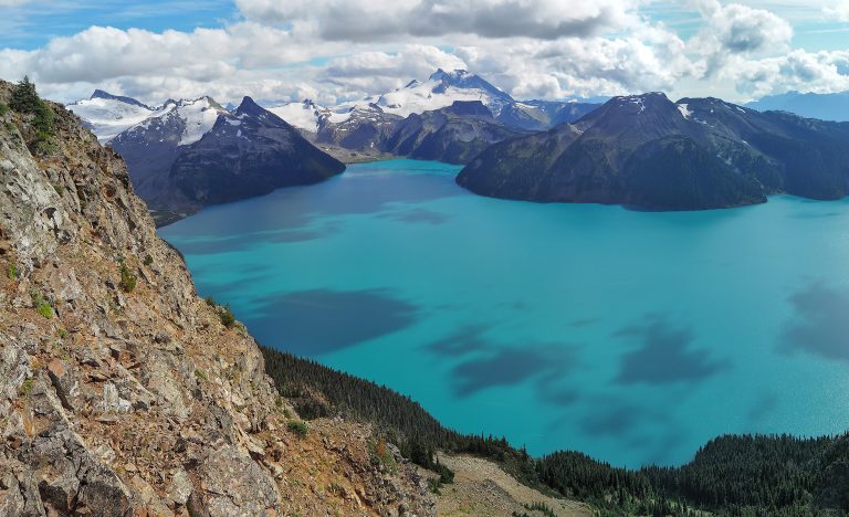
Glaciers, volcanic peaks and the turquoise water of Garibaldi Lake, an hour north of Vancouver on the Sea to Sky Highway.
-
 Golden Ears Provincial Park
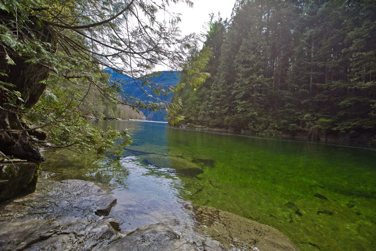
Rugged Coast Mountain peaks and Alouette Lake on the edge of Metro Vancouver, with a summit climb that tests the unprepared.
-
 E.C. Manning Provincial Park
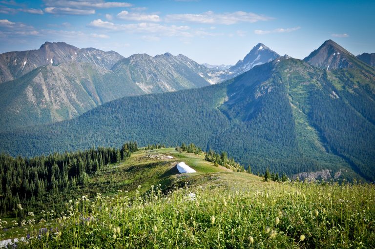
Subalpine meadows, the Heather Trail and the end of the Pacific Crest Trail, three hours from Vancouver on Highway 3.
-
 Gulf Islands National Park Reserve
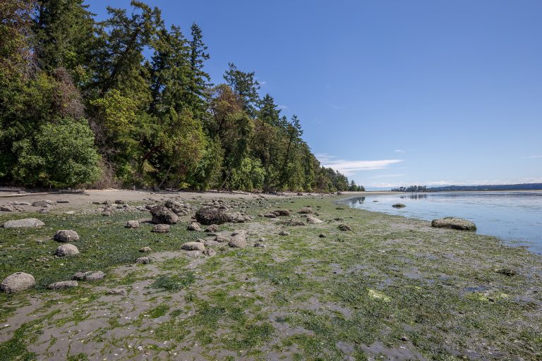
Rocky shores, arbutus and Garry oak on islands in BC's southern Salish Sea, reached by ferry or kayak from Vancouver and Victoria.
Straight-line distance between park centres. Road distance is usually longer.
Looking for somewhere closer to home?
See every park and monument within a day’s drive of where you are.