

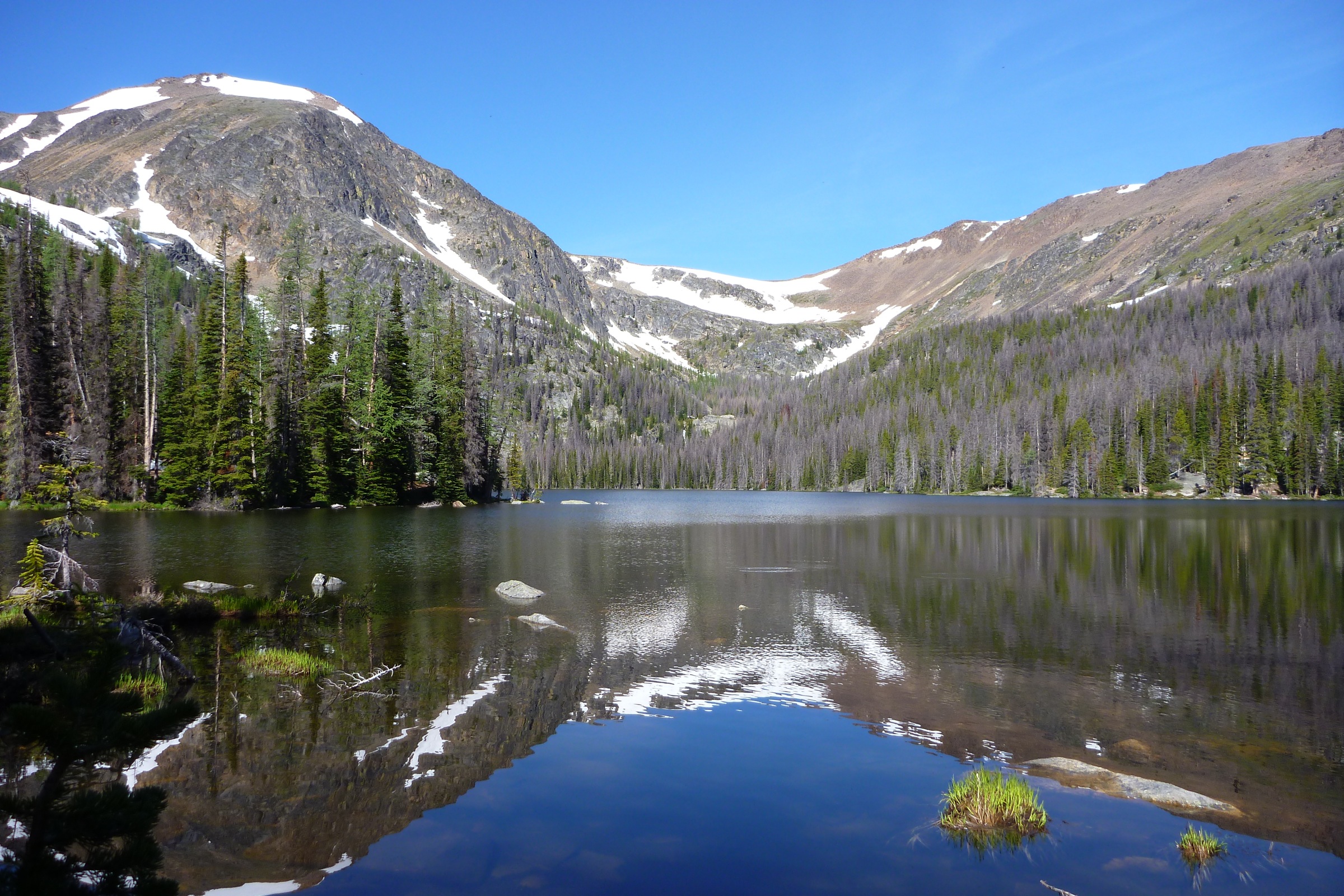
Cathedral Provincial Park
Fast facts
- Established: 1968; Cathedral Protected Area added in 2001
- Setting: the transition between the Cascade Mountains and the dry Okanagan
- Core area: a cluster of alpine lakes, reachable on foot only
- Gateway: Keremeos, on Highway 3
- Managed by: BC Parks
The landscape
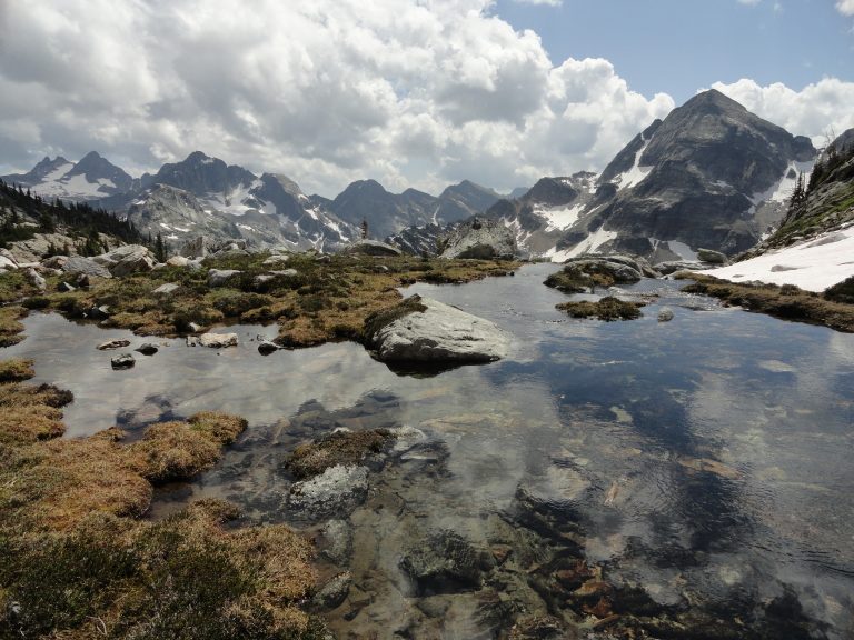
Cathedral Park rises from the dry Douglas fir forests of the Ashnola River to an alpine basin of lakes beneath granite ridges. The Rim Trail passes wind-carved formations with names like the Giant Cleft, Smokey the Bear and Stone City. Because it sits between the wet coast ranges and the arid interior, the park holds an unusual mix of plants and animals, including protected species such as California bighorn sheep and mountain goats.
Best time to go
The alpine lakes are usually snow-free from July into September, with wildflowers in midsummer and larches turning gold in late September. Thunderstorms build over the ridges on summer afternoons. Snow can fall at any time in the high country, and winter access is a serious ski or snowshoe undertaking.
Getting there and around
From Keremeos, the Ashnola Road follows the river into the park. Three trails climb from the valley to the core area: Lakeview, Ewart Creek and Wall Creek. Vehicles are not allowed in the core area, so most visitors walk in, a long day with a big climb.
Things to do
Backpackers base at the lakes, most often Quiniscoe, Lake of the Woods and Pyramid Lake campgrounds, and spend days walking the Rim Trail and the ridges above. Anglers fish the stocked lakes for trout, and photographers come for the granite and the reflections. Horse riders use the lower Snowy Protected Area, where horses are allowed outside the core.
Staying safe
The approach is long and steep, so carry plenty of water and allow a full day. Weather in the alpine changes fast; start early and get off the ridges when storms build. Burned areas along the approach bring the risk of falling trees. There is no cell service anywhere in the park, so carry paper maps and a satellite messenger, and leave a trip plan.
Know before you go
Campgrounds need a reservation or permit registration. This page is a general overview, not a live conditions report, so confirm current closures and reservations with BC Parks before you go.
- Coordinates
- 49.0764, -120.1730
- Magnetic declination
- 14.8° E (2026)
Set this declination on your compass, then align it to the map's north lines; it is the angle between true north and magnetic north, refreshed each year.
How declination works, and how to navigate with a map and compass
A spread of the park’s main places shows straight away, and the rest appear as you zoom in. You can also search above, or pick any place from the lists below, and the map will go to it. Places in bold, marked , have a short description.
Getting there 1
Ranger station
On the trail 8
Route
Campgrounds
Hut or shelter
Sights 27
Viewpoint
Lakes
Peaks 16
Map data comes from third-party sources and may be incomplete or out of date, so carry a current official map (terms).
Looking for one of these closer to home?Destinations near me by trip type →
- Best seasons
- Summer (July to September), Early fall
- Difficulty
- Strenuous
- Access / trailheads
- From Highway 3 about 2 miles (3 km) west of Keremeos, the Ashnola Road crosses a red covered bridge and becomes the Ashnola Forest Service Road, running up the valley to the trailheads for the Lakeview, Ewart Creek and Wall Creek routes.
- Water
- Lakes and streams, under a permanent boil-water advisory: boil, filter or treat all water.
- Cell / satellite coverage
- None anywhere in the park. Bring paper maps and a satellite messenger.
- Nearest ranger / SAR / emergency
- Emergencies: 911 by satellite device (RCMP coordinate search and rescue).
- Permits & regulations
- Backcountry camping needs a reservation or permit registration. The core area is hike-in only: no vehicles on the Lakeview access road.
- Leave No Trace
- Camp in designated campgrounds, use the outhouses, keep urine off campground ground, stay on trails in the fragile alpine, and pack out all waste.
January
- Below freezing all day
February
- Below-freezing nights
March
- Below-freezing nights
April
May
June
July
August
- Day-to-night swing of 30°F (17°C)Day-to-night swing of 17°C (30°F)
September
October This month
November
- Below-freezing nights
December
- Below freezing all day
What to bring depends on your trip: how long you’re out, where you sleep, and how far you go from the road. The planner builds the list for yours.
Plan a trip here →Averages for 1981–2010 from Environment Canada climate normals, measured at the Hedley station, 21 miles (33 km)33 km (21 miles) away at 1,696 feet (517 m)517 m (1,696 feet). Higher trails run colder, by about 3.5°F for every 1,000 ft (2°C per 300 m)2°C for every 300 m (3.5°F per 1,000 ft) of climb. Daylight runs from sunrise to sunset on the 15th, on the park’s own clock, for a level horizon. Valleys and slopes facing away from the sun are in shade earlier.
Nearby parks
-
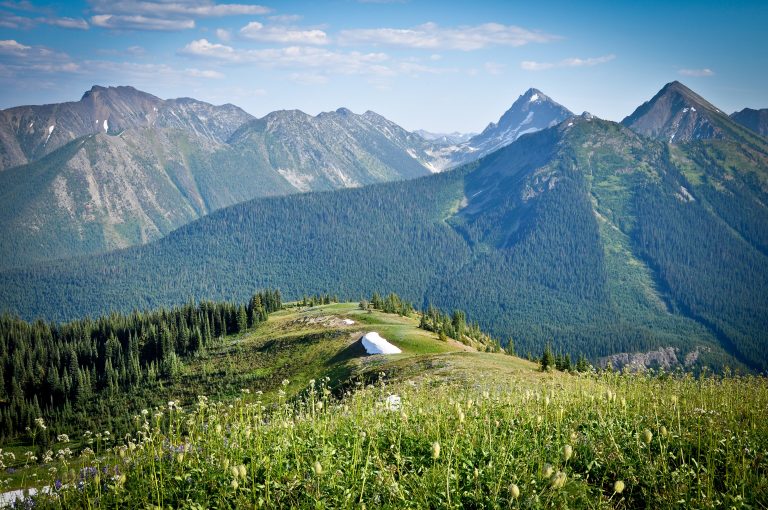 E.C. Manning Provincial Park
Subalpine meadows, the Heather Trail and the end of the Pacific Crest Trail, three hours from Vancouver on Highway 3.
-
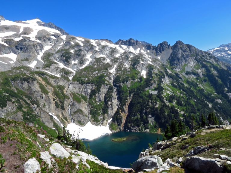 North Cascades National Park
More than 300 glaciers among the jagged peaks of Washington's North Cascades, with turquoise Diablo Lake.
-
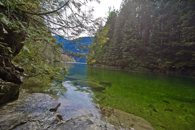 Golden Ears Provincial Park
Rugged Coast Mountain peaks and Alouette Lake on the edge of Metro Vancouver, with a summit climb that tests the unprepared.
-
 Valhalla Provincial Park
Castellated granite peaks and big alpine lakes above the west shore of Slocan Lake, reached by boat or forestry road.
Straight-line distance between park centres. Road distance is usually longer.
Looking for somewhere closer to home?
See every park and monument within a day’s drive of where you are.