

Parc national de la Gaspésie
Fast facts
- Established: 1937
- Size: about 310 square miles (802 km²)
- Highest point: Mont Jacques-Cartier, 4,160 feet (1,268 m), the highest summit in southern Quebec
- Wildlife: the Gaspésie caribou, the last herd south of the St. Lawrence River
- Gateway: Sainte-Anne-des-Monts, on the peninsula’s north shore
- Managed by: Sépaq, the Quebec provincial parks agency (despite the name, this is not a federal national park)
The landscape
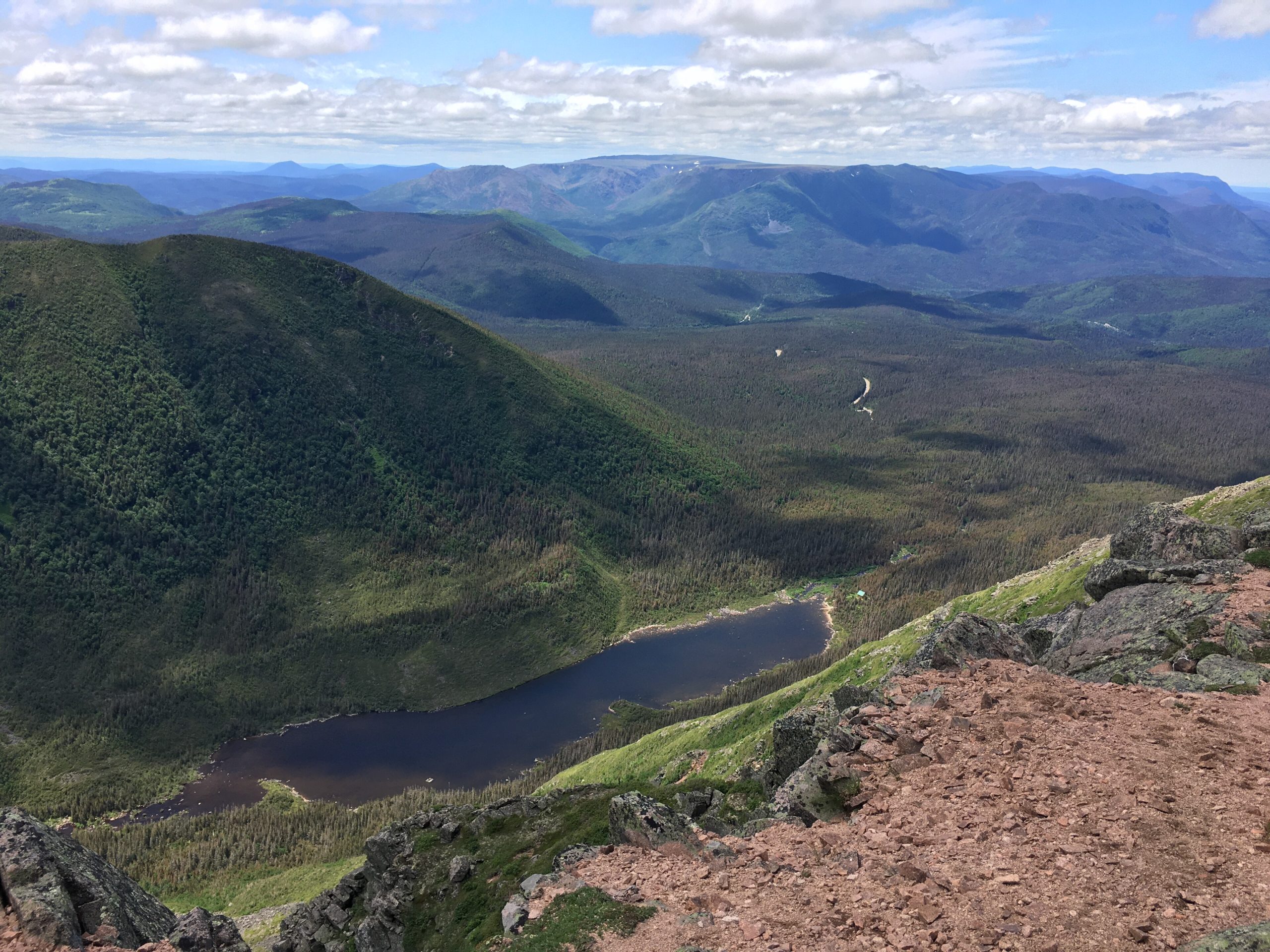
The park covers the Chic-Choc and McGerrigle mountains, part of the Appalachian chain, in the middle of the Gaspé Peninsula. Many summits rise above 3,300 feet (1,000 m), and the highest are flat-topped plateaus of arctic-alpine tundra, rare this far south. Mont Albert’s summit plateau is serpentine rock with unusual plants. Below the tops, boreal forest and river valleys hold moose, black bears and brook trout, and the summits are the last refuge of an endangered caribou herd.
Best time to go
Summer is hiking season, and the high trails generally open in stages from late June once the snow melts and the soil firms up. Mont Jacques-Cartier is open only from July 1 to September 30. September brings fall colour and cool, often windy days. Winter is long and snowy, and the Chic-Chocs are one of eastern North America’s best-known ski-touring areas, with real avalanche terrain.
Getting there and around
From Sainte-Anne-des-Monts, Route 299 climbs south into the mountains to the park’s Discovery and Visitors Centre and the Gîte du Mont-Albert. Trailheads for Mont Albert, Lac aux Américains and the Mont Ernest-Laforce area are along or near the road. The Mont Jacques-Cartier trailhead is reached only by a paid shuttle from the Jacques-Cartier campground, and the last one leaves late in the morning.
Things to do
Hiking trails run from about half a mile to 11 miles (1 to 17 km), from easy valley walks to the steep climb onto Mont Albert’s tundra. Mont Jacques-Cartier offers the best chance to see caribou from a distance. The International Appalachian Trail crosses the park for multi-day hikers, with huts and backcountry campsites. Anglers fish the lakes and salmon rivers, and winter brings ski touring, snowshoeing and nordic skiing.
Staying safe
The summits are exposed and above the trees, and weather can turn from calm to fog, cold rain and high wind in an hour, even in summer. Carry warm, windproof layers and turn back early when conditions change. On Mont Jacques-Cartier, stay on the trail and inside the posted hours. In winter, get the avalanche bulletin and carry rescue gear, or go with a guide. Cell service is poor, so leave a trip plan and carry a satellite messenger.
Know before you go
Daily access is capped, so buy your access right ahead of time. Trail openings and the caribou rules change with the season and the herd. This page is a general overview, not a live conditions report, so confirm current trail status, access and reservations with Sépaq before you go.
- Coordinates
- 48.9718, -66.2671
- Magnetic declination
- 16.8° W (2026)
Set this declination on your compass, then align it to the map's north lines; it is the angle between true north and magnetic north, refreshed each year.
How declination works, and how to navigate with a map and compass
A spread of the park’s main places shows straight away, and the rest appear as you zoom in. You can also search above, or pick any place from the lists below, and the map will go to it. Places in bold, marked , have a short description.
Getting there 1
Visitor centre
On the trail 31
Campgrounds
Huts and shelters
Picnic sites
Sights 37
Viewpoints
Peaks 28
Map data comes from third-party sources and may be incomplete or out of date, so carry a current official map (terms).
Looking for one of these closer to home?Destinations near me by trip type →
- Best seasons
- Summer (July to September), Early fall, Winter (ski touring)
- Difficulty
- Easy to strenuous
- Access / trailheads
- Route 299, which runs south from Sainte-Anne-des-Monts on the Gaspé Peninsula's north shore to the Discovery and Visitors Centre and Gîte du Mont-Albert.
- Water
- Streams and lakes; filter or treat all water.
- Cell / satellite coverage
- Very limited in the mountains. Carry a satellite messenger.
- Nearest ranger / SAR / emergency
- Emergencies: 911. Sépaq: 1-800-665-6527.
- Permits & regulations
- A daily access right (droit d'accès) or annual card is mandatory, and daily capacity is limited, so Sépaq recommends buying it online up to 30 days ahead. Camping and huts need reservations. Mont Jacques-Cartier is open only from July 1 to September 30, between 10 a.m. and 4 p.m., by shuttle, with off-trail travel banned to protect caribou.
- Leave No Trace
- Stay on the trails, especially on the fragile summit tundra, keep well back from caribou, do not move firewood, and pack out all waste.
January
- Below freezing all day
- Avalanche terrain
February
- Below freezing all day
- Avalanche terrain
March
- Below freezing all day
- Avalanche terrain
April
- Below-freezing nights
- Avalanche terrain
May
June
July
August
September
October This month
November
- Below-freezing nights
- Avalanche terrain
December
- Below freezing all day
- Avalanche terrain
What to bring depends on your trip: how long you’re out, where you sleep, and how far you go from the road. The planner builds the list for yours.
Plan a trip here →Averages for 1981–2010 from Environment Canada climate normals, measured at the Charlo Airport station, 68 miles (110 km)110 km (68 miles) away at 132 feet (40 m)40 m (132 feet). That is the nearest station with long-term records, so treat these as a regional guide. Higher trails run colder, by about 3.5°F for every 1,000 ft (2°C per 300 m)2°C for every 300 m (3.5°F per 1,000 ft) of climb. Daylight runs from sunrise to sunset on the 15th, on the park’s own clock, for a level horizon. Valleys and slopes facing away from the sun are in shade earlier.
Nearby parks
-
 Forillon National Park
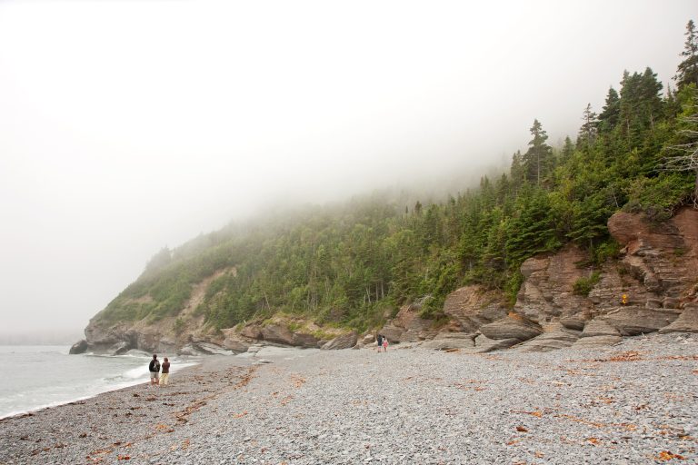
Where the Appalachians meet the sea at the tip of the Gaspé: sea cliffs, seals, whales and the end of a long trail.
-
 Mount Carleton Provincial Park
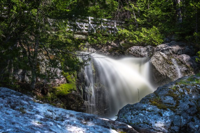
The highest peak in the Maritimes rising over a chain of wild lakes, in a dark-sky preserve deep in New Brunswick's highlands.
-
 Mingan Archipelago National Park Reserve
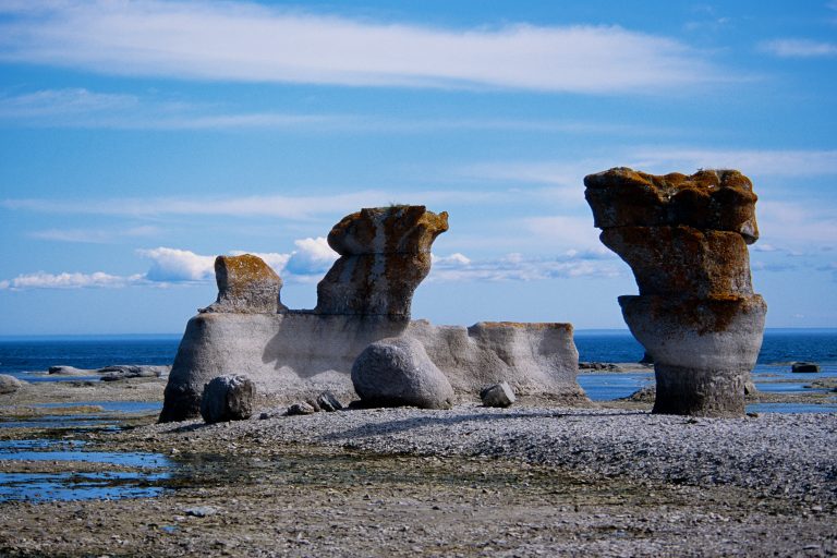
Limestone monoliths on islands along Quebec's North Shore, with puffins, whales and island camping by boat.
-
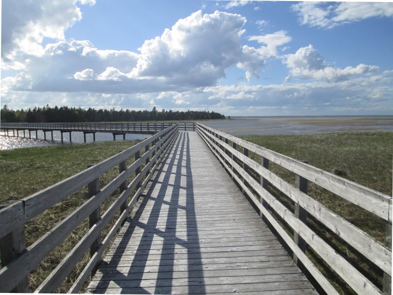 Kouchibouguac National Park
Barrier islands, salt marshes and warm beaches on New Brunswick's Acadian coast, with grey seals, cycling trails and dark-sky stargazing.
Straight-line distance between park centres. Road distance is usually longer.
Looking for somewhere closer to home?
See every park and monument within a day’s drive of where you are.