

Quetico Provincial Park
Fast facts
- Established: 1913
- Size: about 1,820 square miles (4,720 km²)
- Character: a wilderness-class park, with about 2,200 backcountry campsites on more than 2,000 lakes
- Neighbour: the Boundary Waters Canoe Area Wilderness in Minnesota, across the border
- Gateway: Atikokan, Ontario, or Ely, Minnesota
- Managed by: Ontario Parks
The landscape
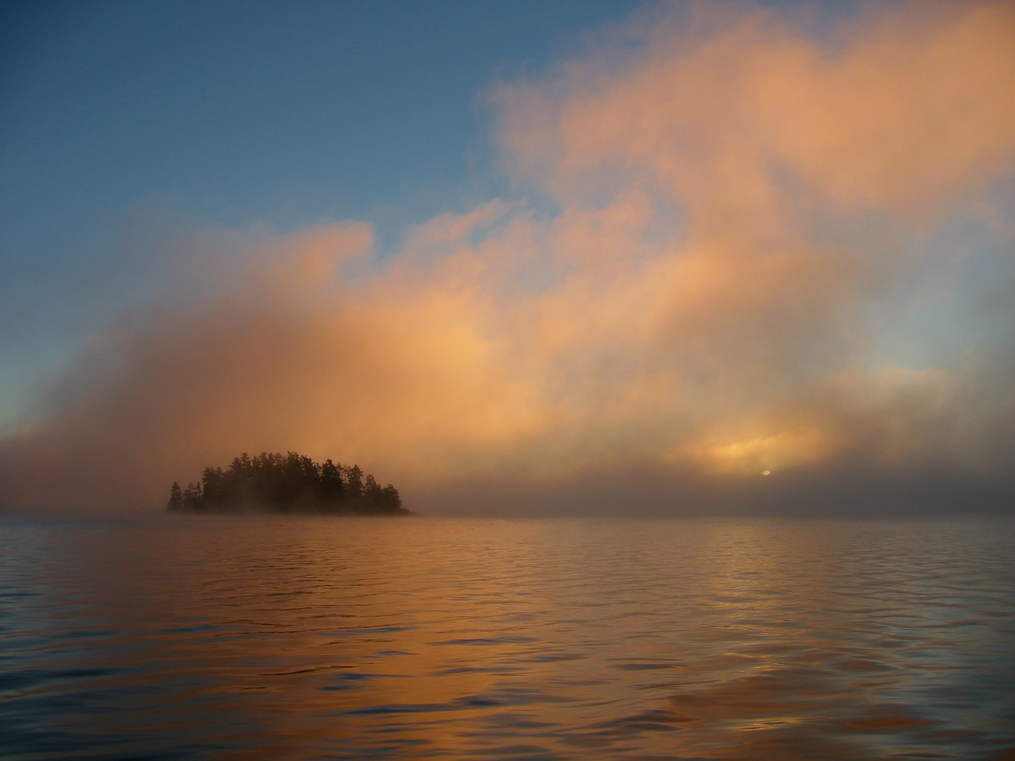
Quetico is Canadian Shield country at its purest: lakes of every size joined by rivers, rapids and portages, through boreal forest of pine, spruce and birch. There are no roads inside the park and almost no motorized travel, so the only way through is by canoe. Ancient pictographs mark the cliffs on some lakes, and the park holds moose, black bears, wolves, loons and bald eagles. Fires are part of this forest, and burns of different ages are visible across parts of the park.
Best time to go
The main season runs from late May to late September, when the entry stations are open. June brings the heaviest bugs; July and August are warmest and busiest; September is cooler and quieter, with shorter days and colder water. The backcountry is open year-round, and off-season trips can now be reserved online, but winter travel here is a serious undertaking.
Getting there and around
Canadian visitors usually start from Atikokan, at the Dawson Trail campground on Highway 11 or from the Beaverhouse and Atikokan entry points. Many American paddlers come north from Ely through the Boundary Waters and enter at the Prairie Portage or Cache Bay ranger stations on the border. Once in, travel is entirely by canoe and portage, and campsites are first come, first served.
Things to do
Quetico exists for multi-day canoe trips, from a long weekend near an entry point to two weeks or more crossing the park. Fishing for walleye, smallmouth bass, northern pike and lake trout is a big draw. The Dawson Trail campground offers a road-accessible base with short trails for those who want a taste of the park without a canoe trip.
Staying safe
This is true wilderness: help can be days away, and there is no cell service. Carry a satellite messenger, a detailed map and compass, and a solid first aid kit, and leave a trip plan. Big lakes turn rough quickly in wind, and the water is cold even in summer, so hug the shore, wear a life jacket and be ready to wait out weather. Get off the water at the first sign of lightning. Store food away from bears every night, and check fire bans before you light anything.
Know before you go
Reservations open five months ahead and are tied to an entry point and date. Paddlers entering from the United States must report to the Canada Border Services Agency, which can be done by telephone at designated stations such as Cache Bay and Prairie Portage. This page is a general overview, not a live conditions report, so confirm current permits, border requirements and fire conditions with Ontario Parks and the CBSA before you go.
- Coordinates
- 48.3677, -91.5610
- Magnetic declination
- 1.8° W (2026)
Set this declination on your compass, then align it to the map's north lines; it is the angle between true north and magnetic north, refreshed each year.
How declination works, and how to navigate with a map and compass
A spread of the park’s main places shows straight away, and the rest appear as you zoom in. You can also search above, or pick any place from the lists below, and the map will go to it. Places in bold, marked , have a short description.
Getting there 4
Visitor centre
Ranger stations
On the trail 39
Campgrounds
Sights 92
Waterfalls
Lakes
Beach
Islands
Peak
Map data comes from third-party sources and may be incomplete or out of date, so carry a current official map (terms).
Looking for one of these closer to home?Destinations near me by trip type →
- Best seasons
- Summer, Early fall
- Difficulty
- Moderate to strenuous (remote wilderness)
- Access / trailheads
- From Canada, the Dawson Trail entry station on Highway 11 east of Atikokan, plus Beaverhouse and Atikokan. From Minnesota, the Prairie Portage and Cache Bay ranger stations on the border, and Lac La Croix. There are six backcountry access points in all.
- Water
- Lakes and rivers everywhere; filter or treat all water.
- Cell / satellite coverage
- None in the interior. A satellite messenger is essential.
- Nearest ranger / SAR / emergency
- Emergencies: 911. Park information: 807-597-2735.
- Permits & regulations
- A backcountry camping permit is required, reserved by entry point. In the operating season it must be picked up in person at the entry station that controls your entry point. Paddlers crossing from Minnesota must also report to the Canada Border Services Agency.
- Leave No Trace
- Camp on existing sites, store food away from bears, pack out all waste, keep fires small and in existing fire rings, and respect fire bans.
January
- Below freezing all day
February
- Below freezing all day
March
- Below-freezing nights
April
- Below-freezing nights
May
June
July
August
September
October This month
- Below-freezing nights
November
- Below-freezing nights
December
- Below freezing all day
What to bring depends on your trip: how long you’re out, where you sleep, and how far you go from the road. The planner builds the list for yours.
Plan a trip here →Averages for 1981–2010 from Environment Canada climate normals, measured at the Whitefish Lake station, 49 miles (79 km)79 km (49 miles) away at 1,309 feet (399 m)399 m (1,309 feet). Higher trails run colder, by about 3.5°F for every 1,000 ft (2°C per 300 m)2°C for every 300 m (3.5°F per 1,000 ft) of climb. Daylight runs from sunrise to sunset on the 15th, on the park’s own clock, for a level horizon. Valleys and slopes facing away from the sun are in shade earlier.
Nearby parks
-
 Voyageurs National Park
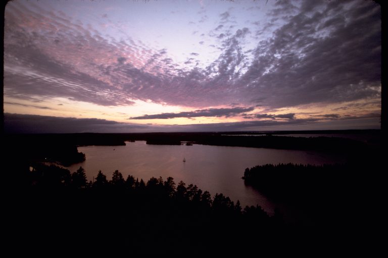
A water-based park on the Canadian border in northern Minnesota: connected lakes and islands for canoe and boat camping.
-
 George H. Crosby Manitou State Park
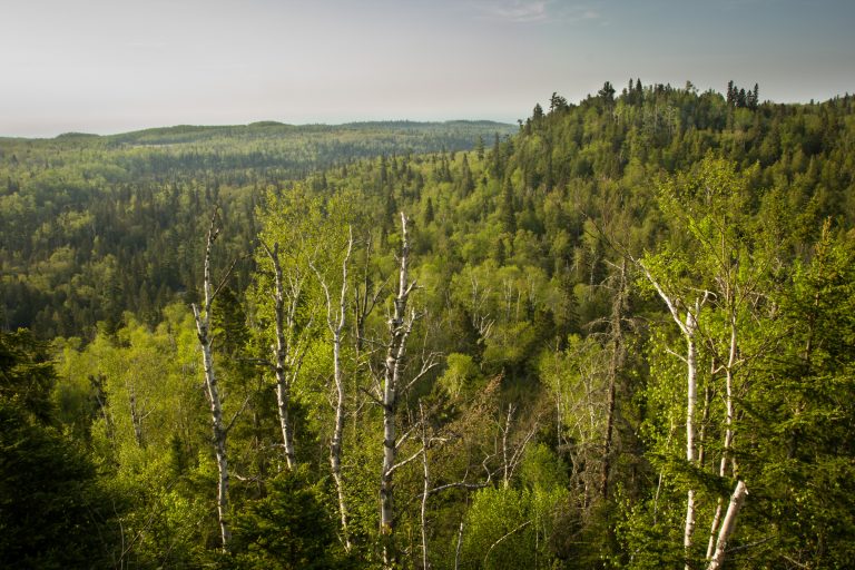
Minnesota's first backpack-only park: a wild volcanic canyon of waterfalls on the Manitou River, on the Superior Hiking Trail.
-
 Tettegouche State Park
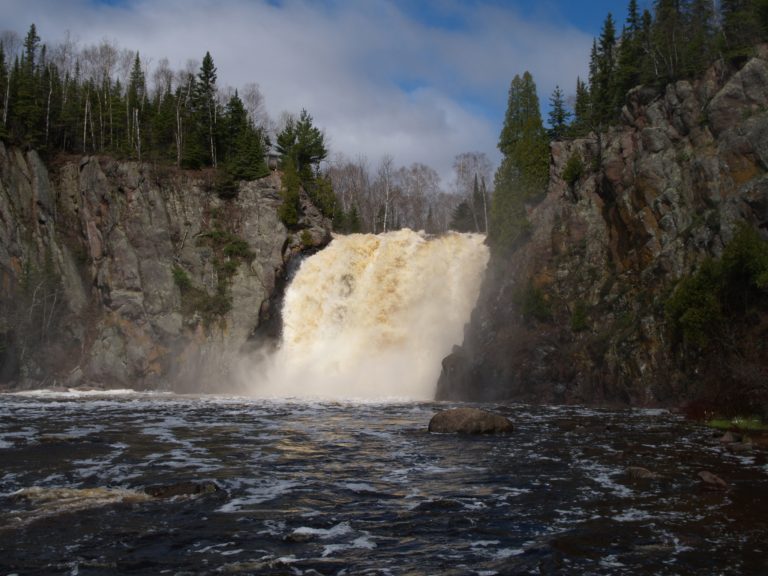
Lake Superior cliffs, the Baptism River's High Falls and inland lakes on Minnesota's North Shore, crossed by the Superior Hiking Trail.
-
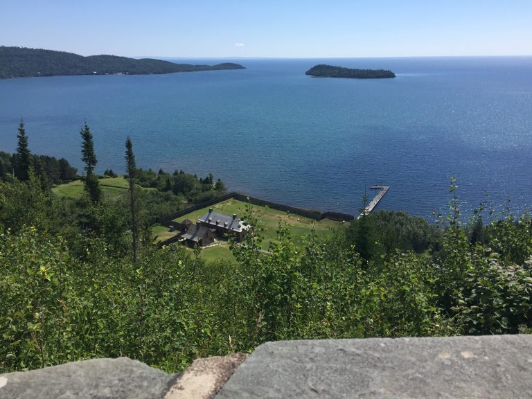 Grand Portage National Monument
A reconstructed fur-trade depot on Lake Superior and the 8.5-mile (13.7 km) Grand Portage trail, near Thunder Bay.
-
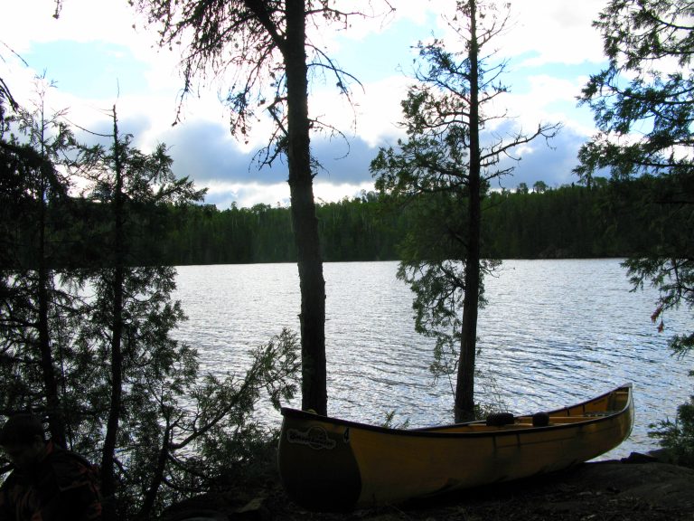 Wabakimi Provincial Park
Ontario's second-largest park: 930 miles (1,500 km) of canoe routes in caribou country, reached by train or floatplane.
Straight-line distance between park centres. Road distance is usually longer.
Looking for somewhere closer to home?
See every park and monument within a day’s drive of where you are.