

Killarney Provincial Park
Fast facts
- Established: 1964, after lobbying by Group of Seven painters
- Size: about 190 square miles (493 km²)
- Signature route: the La Cloche Silhouette Trail, a 50-mile (80 km) loop
- Backcountry: 214 reservable interior campsites
- Gateway: Sudbury, about 90 minutes by road
- Managed by: Ontario Parks
The landscape
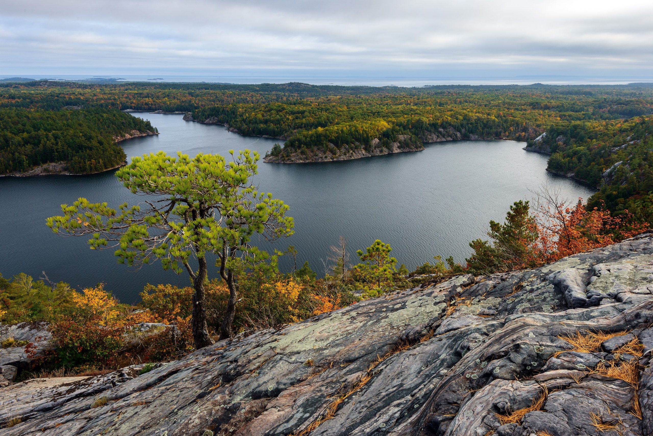
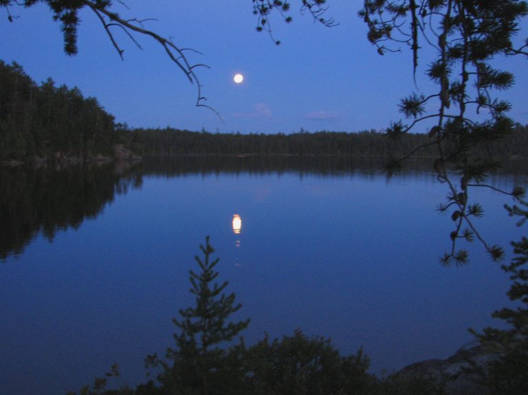
Killarney is the La Cloche Mountains: ridges of white quartzite and pink granite rising above the Georgian Bay shore, with more than 50 lakes set between them. Many of those lakes are strikingly clear and blue, partly because acid rain once stripped them of life; they are slowly recovering. The mix of bare rock, windswept pine and water is what drew the Group of Seven here, and the park holds black bears, moose, wolves and the threatened eastern massasauga rattlesnake.
Best time to go
July and August are warm and busy, with interior sites booked months ahead. Late spring brings blackflies and mosquitoes. September and early October are the favourite for many: cooler hiking weather on the ridges, fall colour and fewer people, though nights get cold and some services close. Winter use is limited to the yurts, ski trails near the park office and experienced winter campers.
Getting there and around
The park is reached by Highway 637, a winding road west from Highway 69 that ends at the village of Killarney. The George Lake campground and park office sit near the end of it, and several canoe access points branch off. Inside the park, travel is by canoe and portage or on foot. The La Cloche Silhouette Trail starts and ends at George Lake.
Things to do
Canoe routes link lakes such as George, Killarney and O.S.A. Lakes, with short portages over the ridges. Backpackers tackle the La Cloche Silhouette Trail, usually over seven to ten days, across open rock and steep climbs; parts of it make hard day hikes too. The Crack, a steep scramble to a ridge-top view, is the park’s best-known day hike. Georgian Bay’s shore offers sea kayaking for paddlers with open-water skills.
Staying safe
The La Cloche Silhouette is harder than its length suggests: steep, rocky and slippery when wet, with few easy exits, so plan conservative days and carry a map and compass. Lightning is a real hazard on the bare ridges, so get down early when storms build. Watch where you step and put your hands, because massasauga rattlesnakes live here; they are shy, but bites need hospital care. Black bears visit campsites, so store food properly. Help is far off in the interior, so leave a trip plan and carry a satellite messenger.
Know before you go
Interior sites and the La Cloche Silhouette Trail are reserved by site through Ontario Parks up to five months ahead, and summer weekends sell out. Fire bans and trail advisories change through the season. This page is a general overview, not a live conditions report, so confirm current conditions, permits and closures with Ontario Parks before you go.
- Coordinates
- 46.0950, -81.4044
- Magnetic declination
- 9.3° W (2026)
Set this declination on your compass, then align it to the map's north lines; it is the angle between true north and magnetic north, refreshed each year.
How declination works, and how to navigate with a map and compass
A spread of the park’s main places shows straight away, and the rest appear as you zoom in. You can also search above, or pick any place from the lists below, and the map will go to it. Places in bold, marked , have a short description.
Getting there 2
Park entrance
Ranger station
On the trail 41
Route
Campgrounds
Sights 53
Viewpoint
Lakes
Beaches
Peaks 9
Map data comes from third-party sources and may be incomplete or out of date, so carry a current official map (terms).
Looking for one of these closer to home?Destinations near me by trip type →
- Best seasons
- Summer, Early fall (foliage)
- Difficulty
- Moderate to strenuous
- Access / trailheads
- Highway 637 runs from Highway 69 south of Sudbury to the George Lake campground and park office. Interior canoe routes start from George Lake, Carlyle Lake, Bell Lake and other access points.
- Water
- Clear lakes throughout; filter or treat all water.
- Cell / satellite coverage
- Little to none away from the George Lake area. Carry a paper map and a satellite messenger.
- Nearest ranger / SAR / emergency
- Emergencies: 911 (Ontario Provincial Police lead search and rescue). Park office: 705-287-2900.
- Permits & regulations
- Every vehicle needs a provincial park permit. Backcountry campsites are reserved by site, for both paddlers and hikers on the La Cloche Silhouette Trail, and interior permits are picked up on arrival. Cans, glass bottles and chainsaws are banned in the backcountry.
- Leave No Trace
- Camp only on reserved sites, store food away from bears, pack out all waste (no cans or bottles), and stay on marked trails over fragile ridge tops.
January
- Below freezing all day
February
- Below freezing all day
March
- Below-freezing nights
April
- Below-freezing nights
May
June
July
August
September
October This month
November
- Below-freezing nights
December
- Below freezing all day
What to bring depends on your trip: how long you’re out, where you sleep, and how far you go from the road. The planner builds the list for yours.
Plan a trip here →Averages for 1981–2010 from Environment Canada climate normals, measured at the Massey station, 33 miles (53 km)53 km (33 miles) away at 656 feet (200 m)200 m (656 feet). Higher trails run colder, by about 3.5°F for every 1,000 ft (2°C per 300 m)2°C for every 300 m (3.5°F per 1,000 ft) of climb. Daylight runs from sunrise to sunset on the 15th, on the park’s own clock, for a level horizon. Valleys and slopes facing away from the sun are in shade earlier.
Nearby parks
-
 Bruce Peninsula National Park
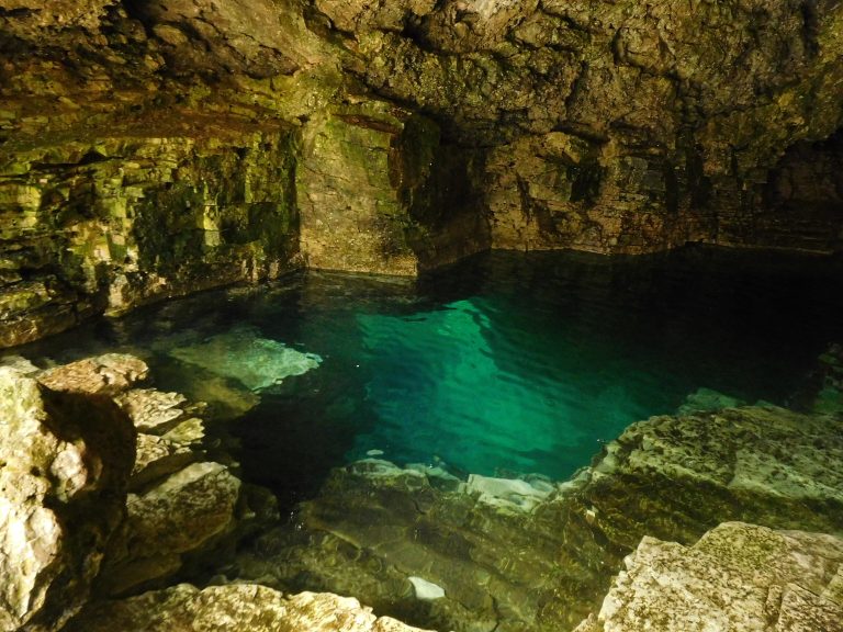
Limestone cliffs and turquoise Georgian Bay water near Tobermory, with the Grotto and the Bruce Trail's rugged end.
-
 Killbear Provincial Park
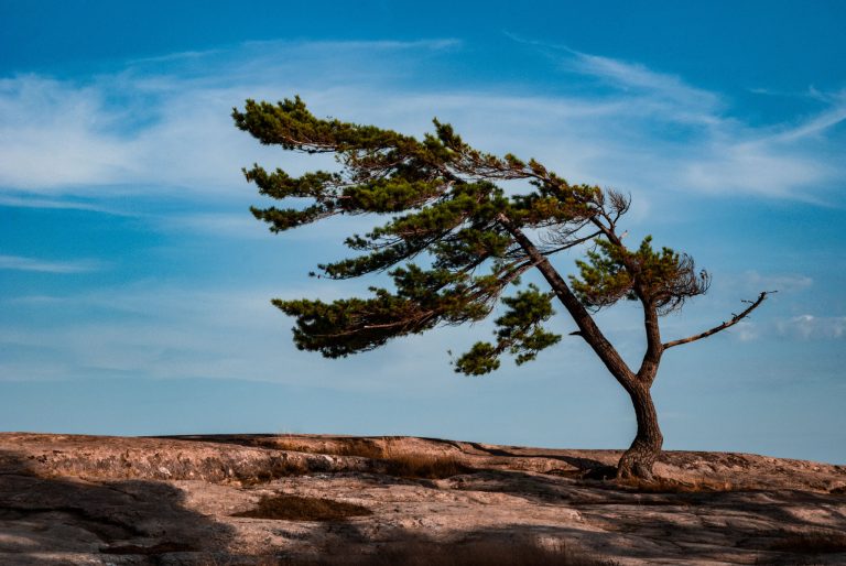
Pink granite, sand beaches and windswept pines on more than 7 miles (12 km) of Georgian Bay shore, at one of Ontario's most visited parks.
-
 The Massasauga Provincial Park
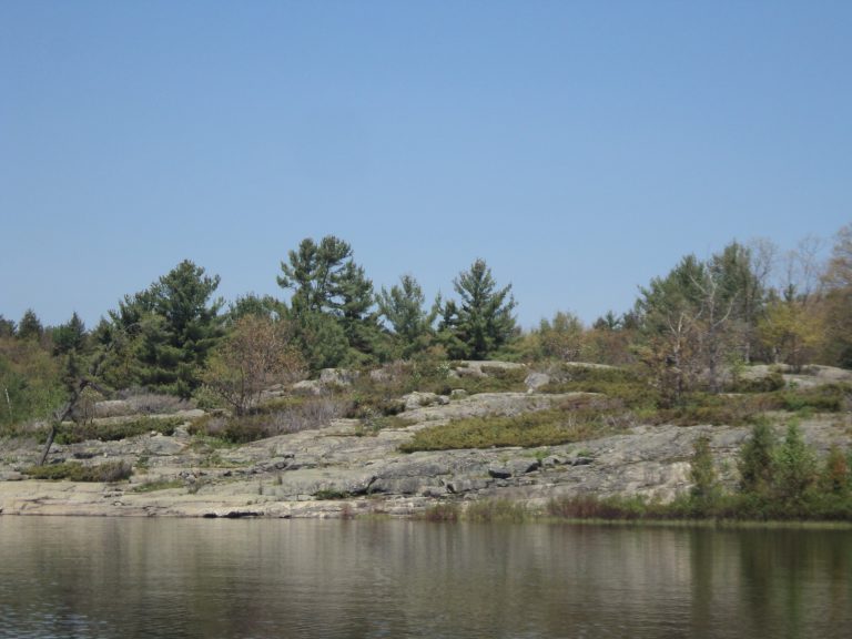
Windswept pines, granite islands and paddle-in sites on Georgian Bay, home of Ontario's only rattlesnake.
-
 Lady Evelyn-Smoothwater Provincial Park
The wild heart of Temagami: ancient portages, rapids and old-growth pine below Ishpatina Ridge, Ontario's highest point.
Straight-line distance between park centres. Road distance is usually longer.
Looking for somewhere closer to home?
See every park and monument within a day’s drive of where you are.