

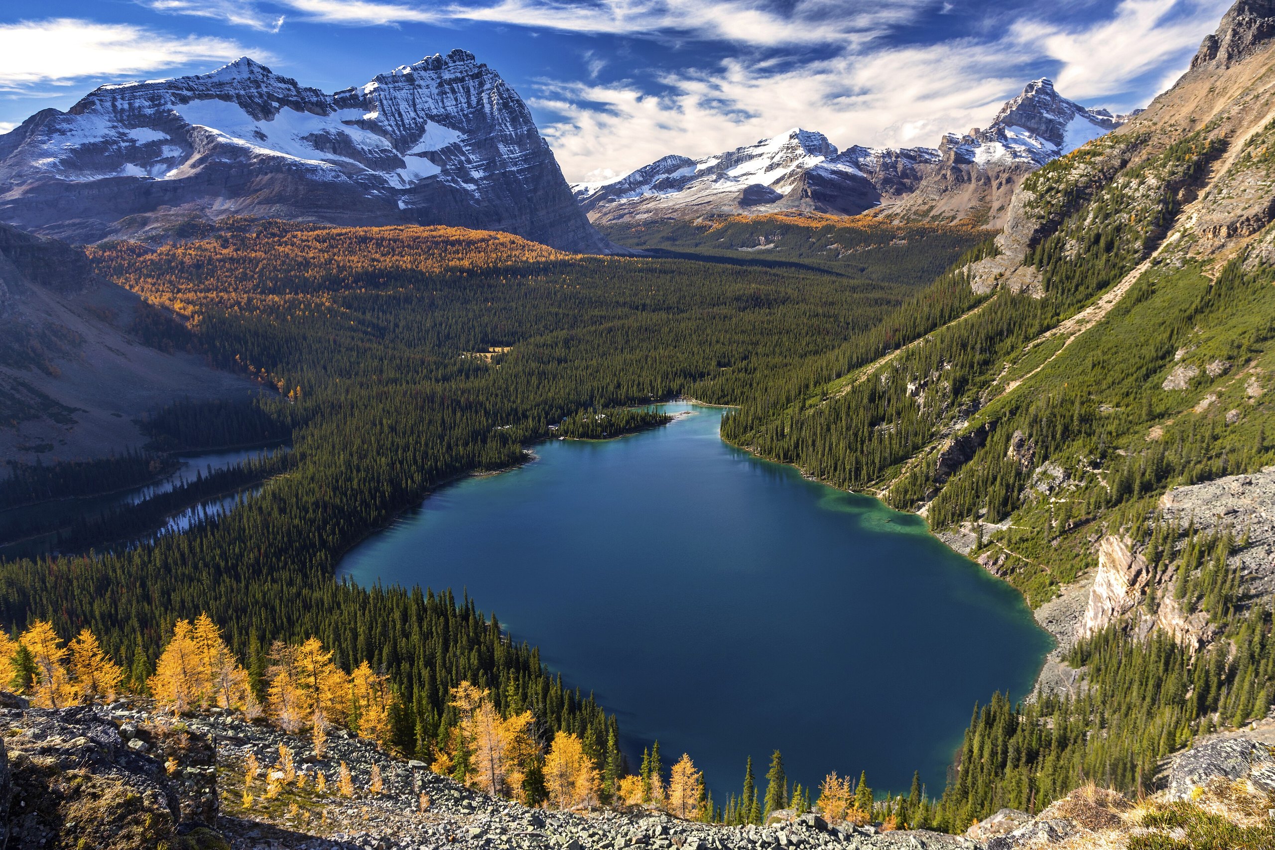
Top 9 things to do in Yoho National Park
Yoho is the small park on the British Columbia side of the Continental Divide, half an hour west of Lake Louise, and it has waterfalls, lakes and alpine trails to match its neighbours with a fraction of the visitors. Its name is a Cree expression of awe. The Trans-Canada Highway runs through the middle, and two side roads, to Takakkaw Falls and Emerald Lake, reach most of what is on this list. These are the nine outings we would put first. The order starts with what the park is known for, then goes by what an outing gives back for the time and effort it takes. Distances and heights are Parks Canada figures; times are our estimates and do not include stops.
The high country is under snow until July, and the road to Takakkaw Falls is open only from about late June to early October. This is grizzly country: carry bear spray on every trail and know how to use it.
1. Stand under Takakkaw Falls
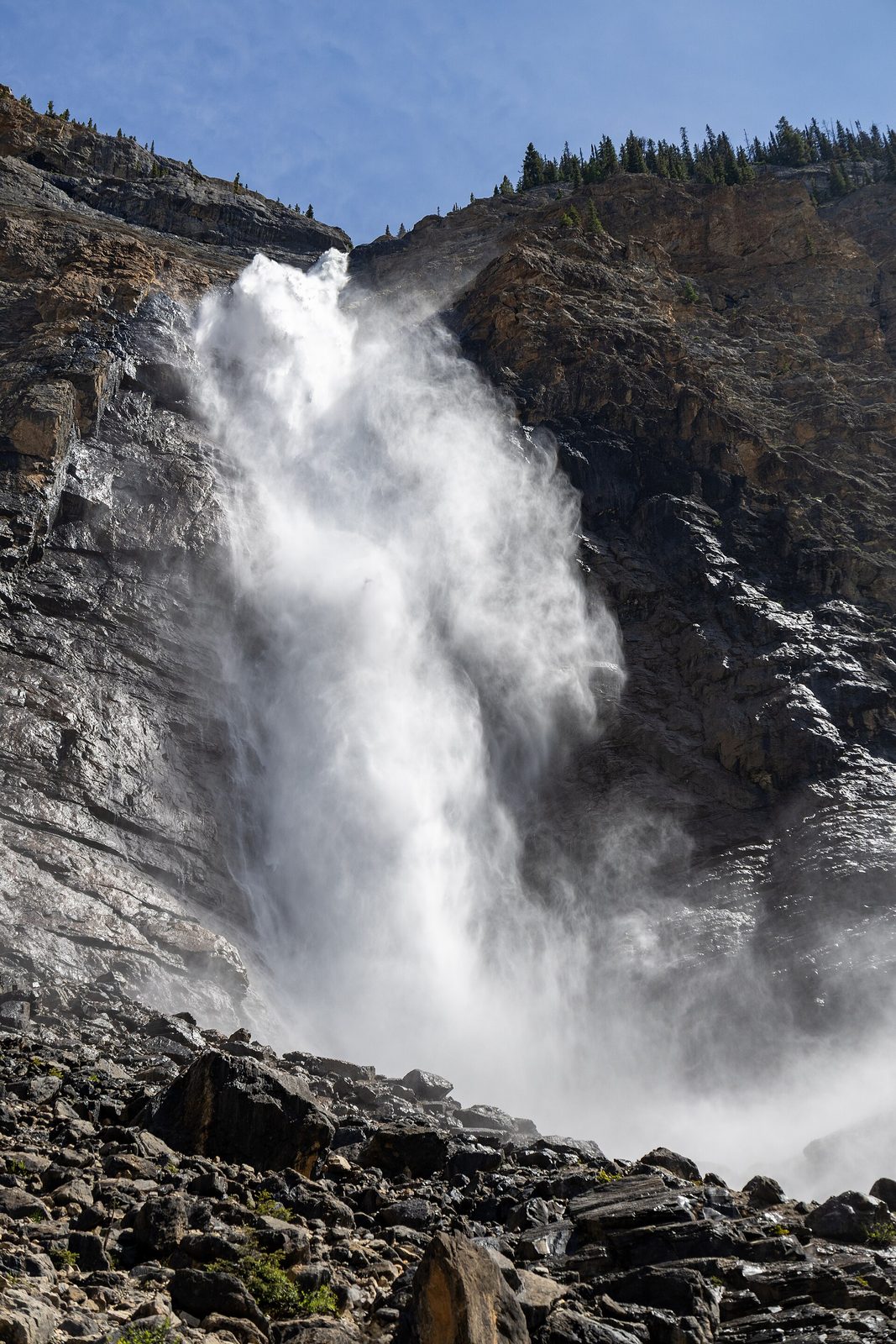
Takakkaw Falls drops 1,224 feet (373 m) in all, with a single free fall of 833 feet (254 m), which makes it one of the highest waterfalls in Canada. It is fed by the Daly Glacier, out of sight above the cliff, so it runs hardest on hot afternoons in July, when the meltwater is at its peak. A paved path crosses the Yoho River on a footbridge and leads to the base, where the spray soaks the rocks and the noise is too loud to talk over.
The road in climbs a pair of switchbacks so tight that vehicles longer than 23 feet (7 m) have to reverse through the middle section. Trailers must be left at the bottom.
- Distance: about 0.9 miles (1.4 km) round trip on foot; 8 miles (13 km) by road from the highway
- Allow: 1.5 hours with the drive
- Start: the end of the Yoho Valley Road, east of Field
- When: about late June to early October; July for the most water
- Suits: everyone. The path to the base takes wheelchairs.
2. Walk or paddle Emerald Lake
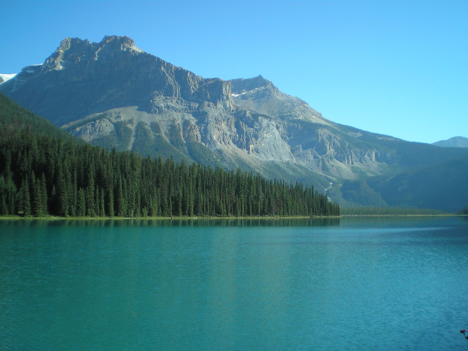
Emerald Lake is the largest lake in the park and the colour its name says, a soft green from glacial silt that is brightest in July and August. A trail circles the whole shore. The west side is level and wide, under avalanche slopes thick with wildflowers and berry bushes; the east side runs through damp forest of cedar and hemlock, and is muddier. Canoes are rented at the boathouse beside the bridge, and paddling out into the middle is the best way to see the ring of peaks around the lake.
In winter the lake freezes and the area becomes one of the better places in the Rockies for cross-country skiing and snowshoeing. Stay clear of the avalanche paths on the west shore.
- Distance: a loop of 3.2 miles (5.2 km), nearly level
- Allow: 1.5 to 2 hours; an hour more with a canoe
- Start: Emerald Lake, at the end of Emerald Lake Road, 5 miles (8 km) from the highway
- When: June to October for walking and paddling; December to March on skis
- Suits: everyone. The first stretch on the west shore takes wheelchairs and strollers.
3. Stop at the Natural Bridge
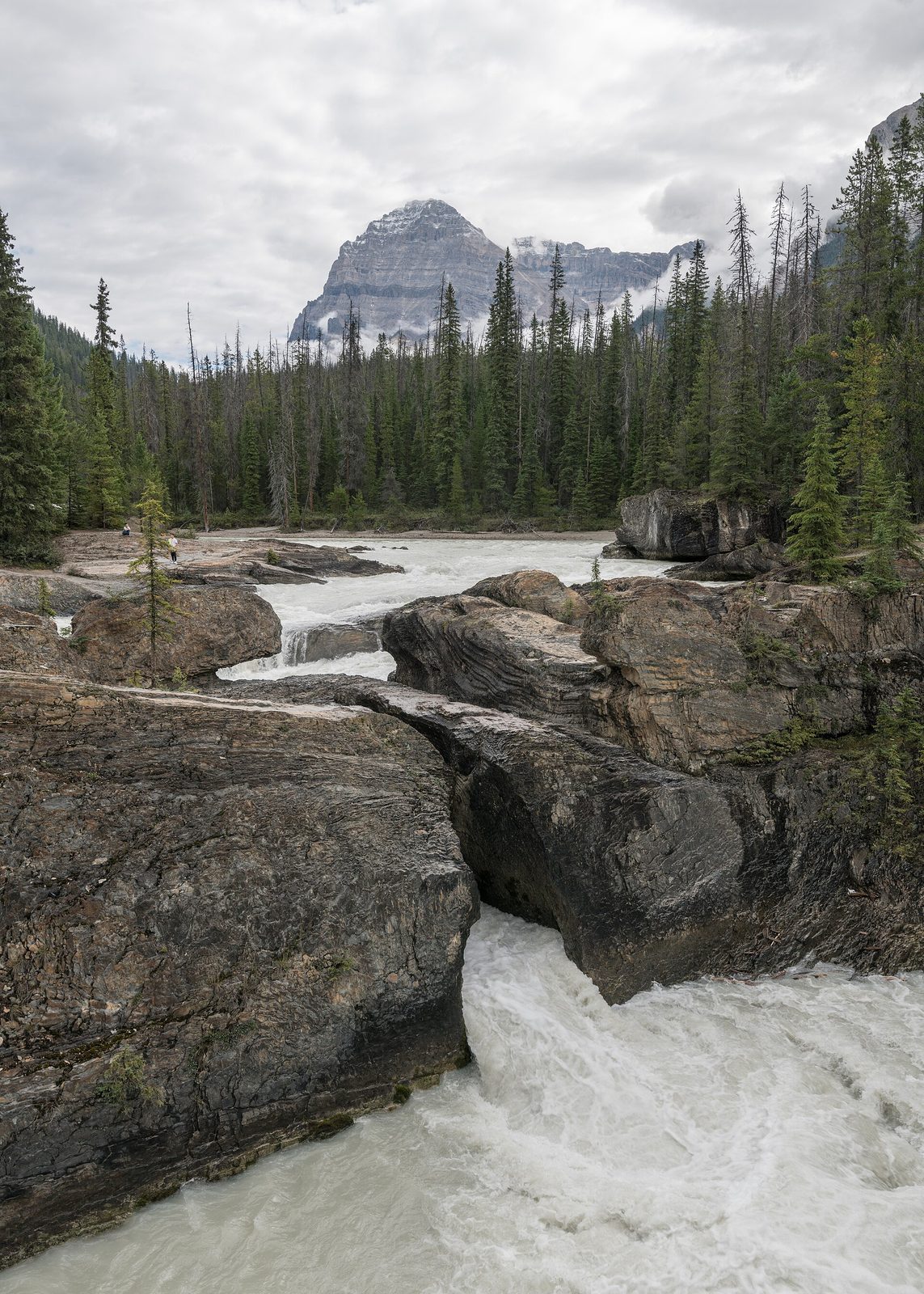
On the way to Emerald Lake, the Kicking Horse River runs into a wall of limestone and, where it once poured over the top, now goes through it. The river found cracks in the rock, widened them, and left the old lip of the waterfall as a bridge of stone with the whole river forced through a slot beneath. Fenced viewpoints and a footbridge look at it from both sides. It takes ten minutes and is worth it at any water level, most of all in June.
- Distance: at the roadside
- Allow: 15 to 20 minutes
- Start: Emerald Lake Road, 1 mile (1.6 km) from the highway
- When: all year
- Suits: everyone. Do not climb onto the rock: the river beneath it is deadly.
4. Spend a day at Lake O’Hara
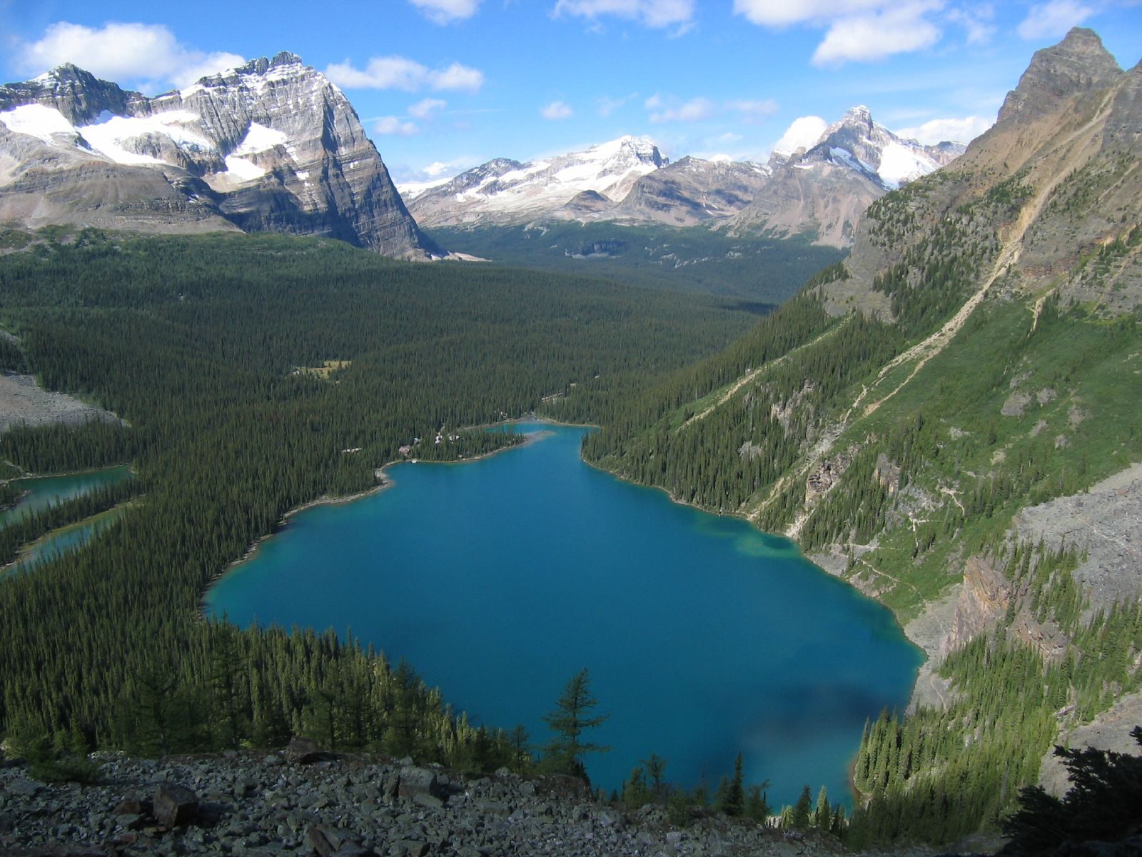
Lake O’Hara is the finest alpine hiking area in the Canadian Rockies, and Parks Canada keeps it that way by limiting who gets in. The lake lies at 6,630 feet (2,020 m) in a bowl of peaks, at the end of a road closed to cars and bicycles. A bus carries a small number of day visitors and campers each day, and the seats are given out by a random draw held in spring. If you do not get one, you may walk the road, 6.8 miles (11 km) each way and uphill, with no promise of a ride down.
From the lake, well-built trails climb to Lake Oesa, a turquoise lake in a rock basin, and to the Opabin Plateau, a hanging valley of small lakes and larches. Ledge routes link the two for strong, sure-footed hikers. In the last two weeks of September the larches turn gold.
- Distance: about 4 miles (6.4 km) round trip to Lake Oesa, with 790 feet (240 m) of climbing; about 3.7 miles (5.9 km) for the Opabin Plateau circuit, with 820 feet (250 m)
- Allow: a full day
- Start: Lake O’Hara parking area, off the Trans-Canada Highway near the park’s east boundary
- When: the bus runs from about mid-June to early October. Snow lasts on the trails into July.
- Needs: a bus reservation from the draw, or the walk in
- Suits: hikers of every level, once there
5. Hike the Iceline Trail
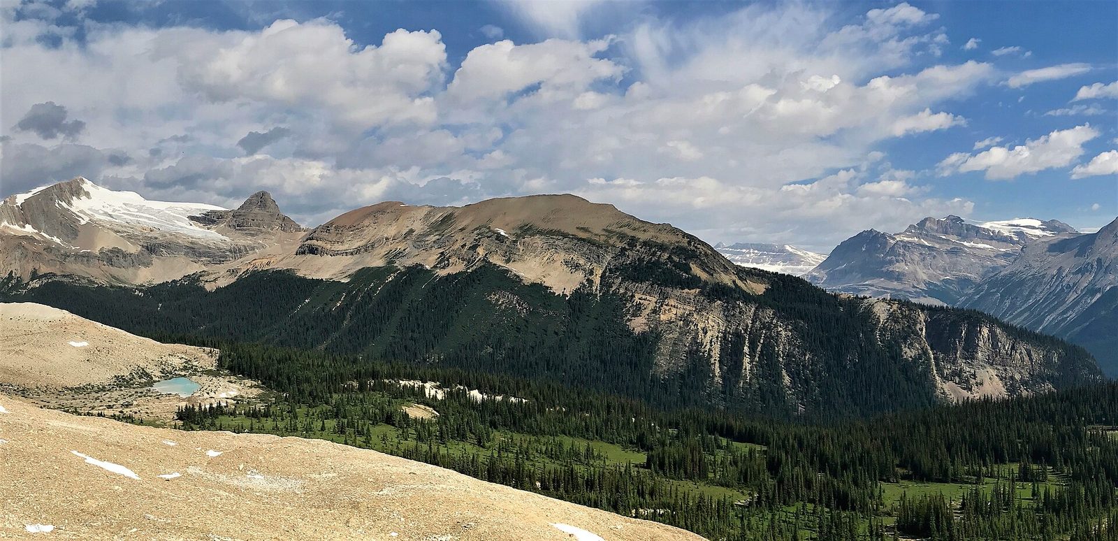
The Iceline is the best day hike in the park that needs no reservation. It climbs steeply from the valley floor near Takakkaw Falls, breaks out of the trees, and then runs for miles across bare moraine and rock slabs just below the Emerald Glacier, past meltwater ponds, with Takakkaw Falls and the Daly Glacier across the valley and the Yoho Glacier ahead. You can turn back at the high point or carry on down into the Little Yoho valley and return past Laughing Falls for a full loop.
The upper trail is exposed to weather for hours, with no shelter and no shade. Carry warm and waterproof layers on the finest day.
- Distance: about 8 miles (12.8 km) round trip to the high point; about 13 miles (21 km) for the loop by the Little Yoho valley
- Climb: about 2,300 feet (700 m)
- Allow: 5 to 8 hours
- Start: the Whiskey Jack trailhead, near the end of the Yoho Valley Road
- When: mid-July to September
- Suits: fit hikers
6. Walk to Wapta Falls
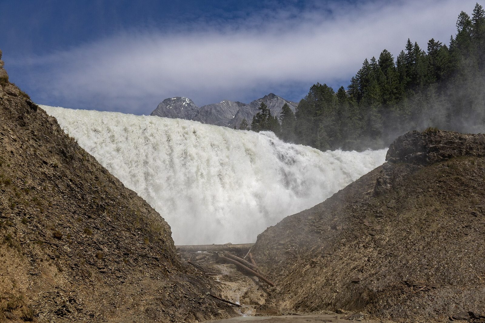
Wapta Falls is low and very wide: the whole Kicking Horse River, about 351 feet (107 m) across, going over a ledge 59 feet (18 m) high. An easy forest trail leads to a viewpoint above it, then drops to the gravel beside the river, where you can walk up to the mist and climb a mound of rock facing the falls. It is at the quiet west end of the park, and it is usually free of snow weeks before the high trails.
- Distance: 3 miles (4.8 km) round trip
- Climb: about 100 feet (30 m), plus the drop to the river
- Allow: 1.5 to 2 hours
- Start: Wapta Falls trailhead, at the end of a gravel road off the Trans-Canada Highway, 15 miles (25 km) west of Field. The turn is signed for eastbound traffic only.
- When: May to October
- Suits: families
7. Watch a train through the Spiral Tunnels
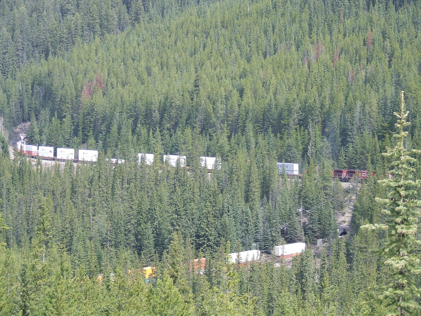
When the railway first crossed Kicking Horse Pass, the grade down the Big Hill was the steepest on any main line in North America, and runaway trains killed crews. In 1909 the Canadian Pacific replaced it with two tunnels that corkscrew inside the mountains, each looping back over itself. From the viewpoint on the highway you can watch the front of a long freight train come out of the lower tunnel above its own tail, still going in. Trains pass many times a day but keep no public timetable, so be ready to wait.
- Distance: at the roadside
- Allow: 20 minutes, or as long as it takes for a train
- Start: Lower Spiral Tunnel viewpoint, on the Trans-Canada Highway 5 miles (8 km) east of Field
- When: about May to October, while the viewpoint is open
- Suits: everyone
8. Join a guided hike to the Burgess Shale
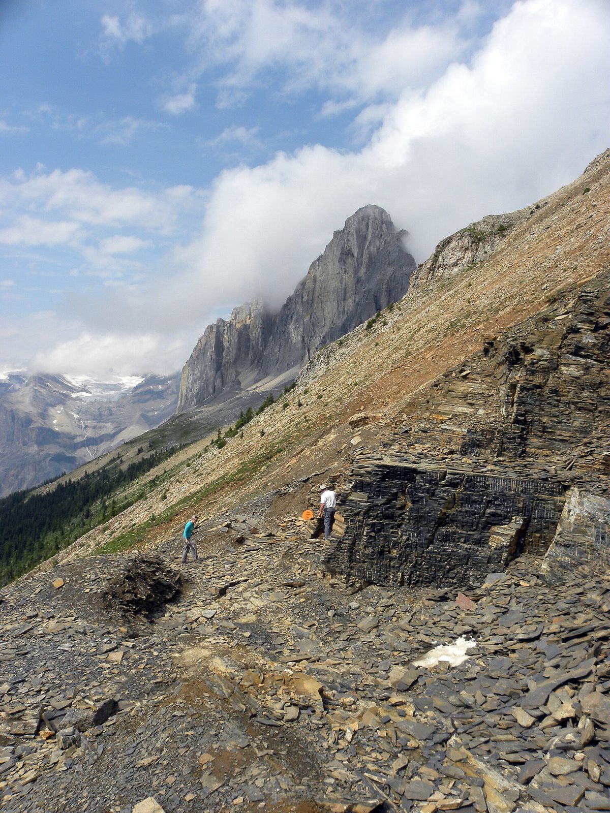
High on a ridge above Emerald Lake is one of the most important fossil sites in the world. The Burgess Shale holds sea animals about 505 million years old, preserved with their soft parts, gills, guts and eyes, and it changed what scientists understood about early animal life. The quarries are closed to the public except on guided hikes, run in summer by Parks Canada and the Burgess Shale Geoscience Foundation. At the quarry you handle fossils that lie loose on the slope. Taking one is a serious offence.
The Walcott Quarry trip is a long, steady climb. The hike to the trilobite beds on Mount Stephen is shorter and much steeper.
- Distance: 12.4 miles (20 km) round trip to the Walcott Quarry
- Climb: about 2,500 feet (760 m)
- Allow: 10 to 11 hours
- Start: guided groups meet near Takakkaw Falls or in Field
- When: July to mid-September
- Needs: a reserved place on a guided hike
- Suits: fit walkers aged about eight and up
9. Walk up the Yoho Valley to Laughing Falls
Beyond Takakkaw Falls the road ends and a wide, gentle trail carries on up the valley floor beside the Yoho River, through forest, past side trails to two small waterfalls, to Laughing Falls, where the Little Yoho River comes out of a cleft in a broad white fan. It is the easy alternative to the Iceline, and a good walk on a day when cloud hides the high ground. Strong walkers continue to Twin Falls, where two streams drop side by side over a cliff beside a log teahouse from 1908.
- Distance: 2.7 miles (4.4 km) one way to Laughing Falls; 5.1 miles (8.2 km) one way to Twin Falls
- Climb: about 410 feet (125 m) to Laughing Falls
- Allow: 3 hours to Laughing Falls and back; 6 to 7 hours for Twin Falls
- Start: Takakkaw Falls parking area
- When: late June to early October
- Suits: most walkers to Laughing Falls
Before you go
This list covers what stays the same from year to year. Road opening dates, the Lake O’Hara draw, trail closures and bear warnings change, and Parks Canada posts them on its own site. The link is on our Yoho National Park guide, with the map, passes and how to get there.