

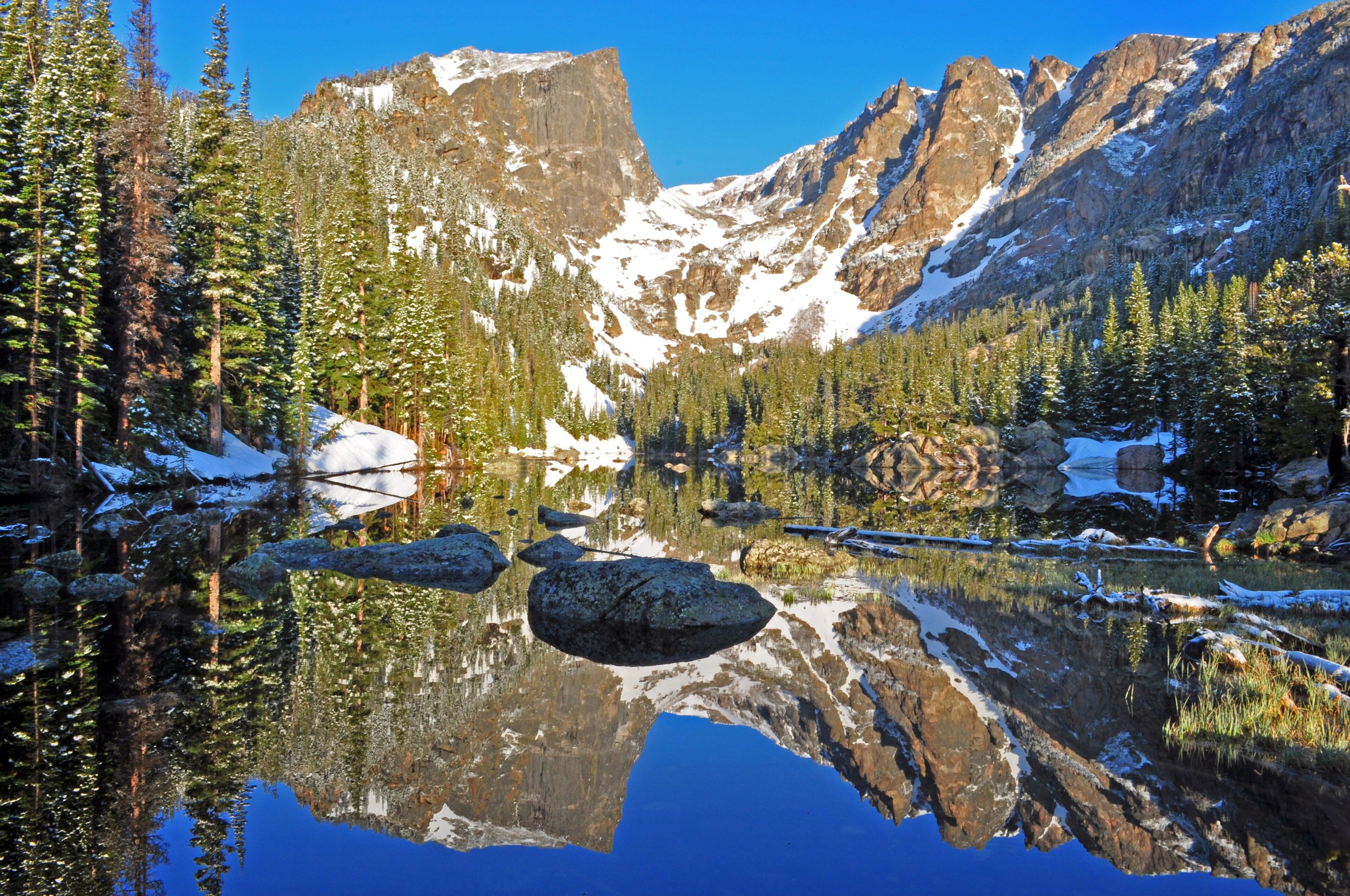
Top 11 things to do in Rocky Mountain National Park
Rocky Mountain National Park is high country an hour and a half from Denver: a third of it lies above the trees, and its main road crosses the Continental Divide at more than 12,000 feet (3,660 m). These are the eleven outings we would put first. The order starts with what the park is known for, then goes by what an outing gives back for the time and effort it takes. Distances and heights are National Park Service figures; times are our estimates and do not include stops.
Altitude shapes every day here. The lowest trailheads are above 8,000 feet (2,440 m), so give yourself a day before anything strenuous, drink more water than usual, and go down if a headache or nausea sets in. Thunderstorms build over the peaks on most summer afternoons: be off summits and open tundra by noon. From late May to mid-October you need a timed-entry reservation to drive in during the day, and the Bear Lake Road has its own.
1. Drive Trail Ridge Road across the Divide
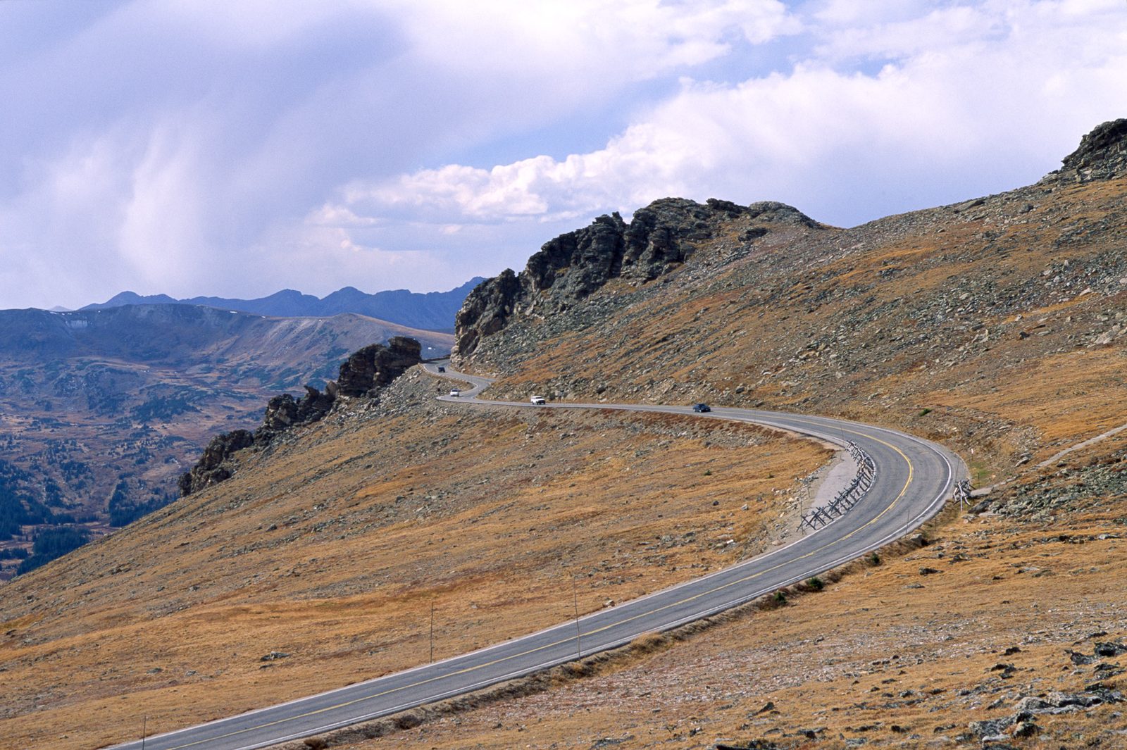
Trail Ridge Road runs 48 miles (77 km) from Estes Park to Grand Lake and tops out at 12,183 feet (3,713 m), the highest continuous paved road in North America. For about 11 miles (18 km) it stays above the treeline, on open tundra with the Never Summer Mountains and Longs Peak in view. Stop at Forest Canyon Overlook for the view down a glacier-cut canyon, and at Rock Cut for the Tundra Communities Trail, a paved path out among plants a few inches high that take years to recover from one footstep. The Alpine Visitor Center, at 11,796 feet (3,595 m), is the highest in the National Park System.
It can be 20 to 30°F (11 to 17°C) colder at the top than in Estes Park, and windy. Bring a jacket in July. Elk, bighorn sheep, marmots and pikas are all seen from the road.
- Distance: 48 miles (77 km) one way; the Tundra Communities Trail is about 1 mile (1.6 km) round trip
- Allow: half a day one way with stops; a full day there and back
- Start: Beaver Meadows or Fall River entrance near Estes Park, or Grand Lake on the west side
- When: about late May to mid-October. Snow closes the high section for the rest of the year.
- Suits: everyone, though the altitude is hard on some people even in a car
2. Hike from Bear Lake to Dream and Emerald lakes
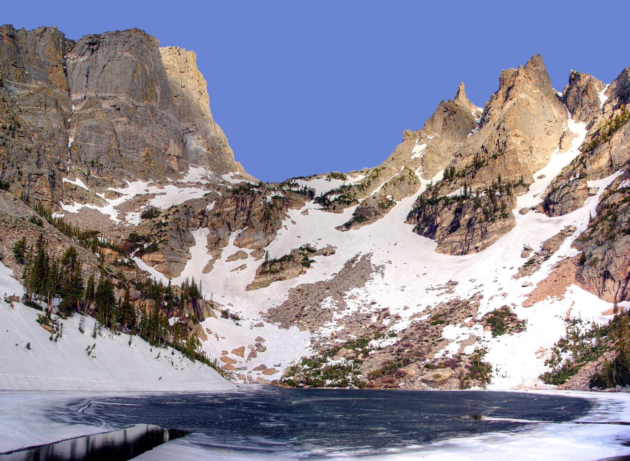
This is the park’s best-known hike, and it passes three lakes in under 2 miles (3.2 km). From Bear Lake the trail climbs to Nymph Lake, covered in pond lilies in summer, then to Dream Lake, a long, narrow lake under the cliffs of Hallett Peak. It ends at Emerald Lake, in a bowl of rock at the foot of the peak’s 12,713-foot (3,875 m) face. The climb is steady and never steep, and the trail is busy from sunrise on.
Parking at Bear Lake fills early. The free park shuttle from the Park and Ride on Bear Lake Road is the dependable way in.
- Distance: 1.1 miles (1.8 km) one way to Dream Lake; 1.8 miles (2.9 km) one way to Emerald Lake
- Climb: about 650 feet (200 m) to Emerald Lake
- Allow: 2 to 3 hours
- Start: Bear Lake Trailhead, at the end of Bear Lake Road, 9,450 feet (2,880 m)
- When: June to October on dry trail. In winter and spring the route is packed snow, walked with traction devices or snowshoes.
- Suits: most walkers, including children, once they are used to the altitude
3. Watch the elk rut in Moraine Park
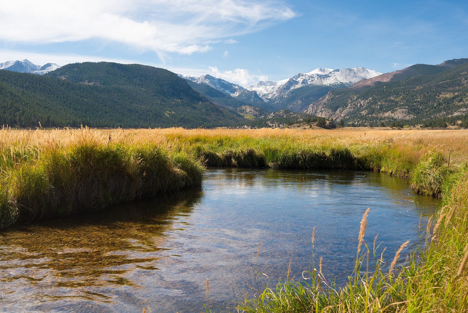
From mid-September to mid-October, elk come down to the valley meadows to breed. Bulls gather groups of cows, bugle, and drive off rivals, sometimes clashing antlers. Moraine Park, a broad meadow a few minutes from the Beaver Meadows entrance, is one of the best places to watch, mostly in the first and last two hours of daylight. The bugle, a rising whistle that ends in grunts, carries a long way on a still evening.
During the rut the meadows are closed to people on foot from late afternoon to morning, so watch from the road and the pullouts. Stay at least 75 feet (23 m) away, more from a bull, and do not use calls or spotlights.
- Allow: an evening or an early morning
- Start: Moraine Park, on Bear Lake Road; Horseshoe Park and the Kawuneeche Valley are the other main areas
- When: mid-September to mid-October. Elk are in the meadows at dawn and dusk for much of the year.
- Suits: everyone. Bring binoculars and a warm layer.
4. Walk to Alberta Falls and Mills Lake
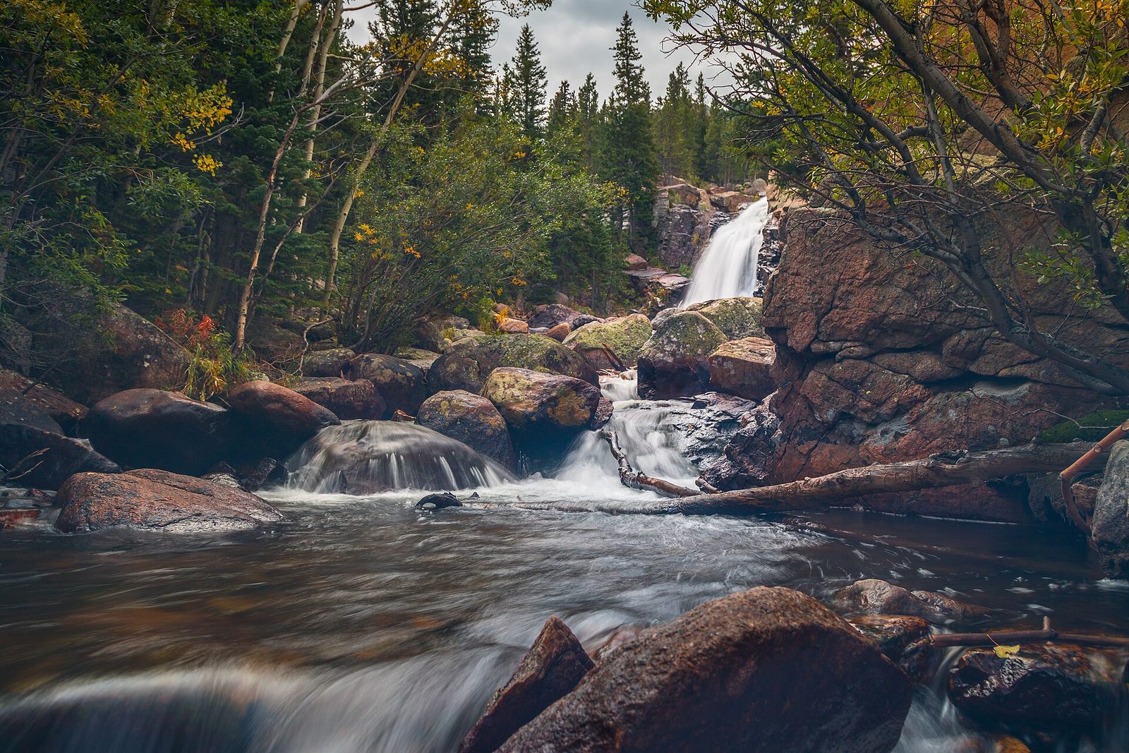
Alberta Falls is the shortest worthwhile walk in the Bear Lake area: Glacier Creek drops through a rock chute beside the trail, less than a mile from the car with little climbing. Most people turn around there. Keep going, and the trail climbs through aspen and over open rock into Glacier Gorge, where Mills Lake lies under Longs Peak. It is one of the finest lake settings in the park for a moderate effort.
- Distance: 0.8 miles (1.3 km) one way to Alberta Falls; about 2.5 miles (4 km) one way to Mills Lake
- Climb: about 160 feet (50 m) to the falls; about 750 feet (230 m) to the lake
- Allow: 1 hour for the falls; 3 to 4 hours for the lake
- Start: Glacier Gorge Trailhead on Bear Lake Road. The lot is small; the shuttle stops here.
- When: June to October; late September for gold aspen below the falls
- Suits: families to the falls; steady walkers to the lake
5. Circle Sprague Lake
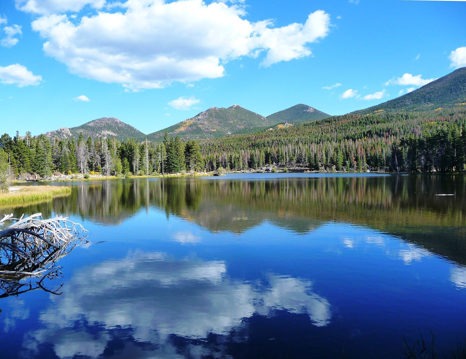
Sprague Lake is a small, shallow lake with a level loop of packed gravel and boardwalk around it, much of it suited to wheelchairs and strollers. The view across the water takes in Hallett Peak, Flattop Mountain and the Continental Divide, and it is one of the best places in the park for sunrise, when the peaks light up before the valley. Moose and ducks use the lake, and there is a picnic area beside the parking.
- Distance: a loop of 0.8 miles (1.3 km), level
- Allow: 30 to 45 minutes
- Start: Sprague Lake, on Bear Lake Road
- When: all year; sunrise for the light
- Suits: everyone, and a good first walk at altitude
6. Climb to Sky Pond
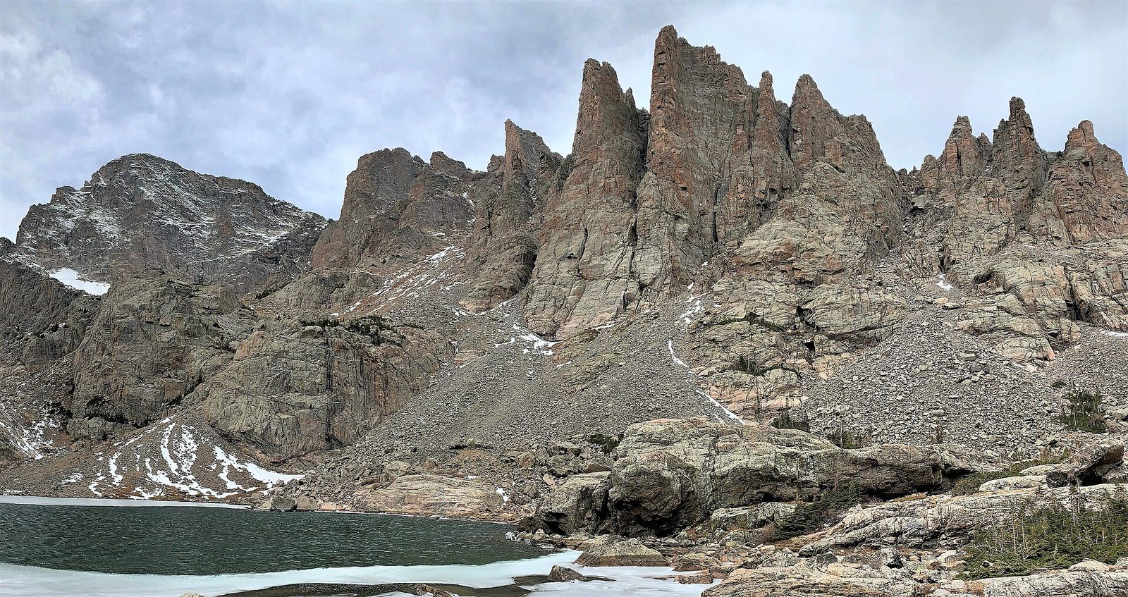
For a full day, this is the hike to choose. The trail passes Alberta Falls, climbs to The Loch, a lake ringed by forest and cliffs, then steepens to the foot of Timberline Falls. There the trail becomes a scramble of about 100 feet (30 m) up wet rock beside the waterfall, using hands. Above it are Lake of Glass and, a little farther, Sky Pond, in a cirque under the Cathedral Spires and Taylor Peak.
The scramble holds ice early and late in the season and is slippery when running with water. The Loch alone, about 3 miles (4.8 km) in, is a good turnaround.
- Distance: about 4.7 miles (7.6 km) one way
- Climb: about 1,780 feet (540 m)
- Allow: 6 to 8 hours
- Start: Glacier Gorge Trailhead on Bear Lake Road
- When: July to September
- Suits: fit hikers comfortable using their hands on rock
7. Drive Old Fall River Road
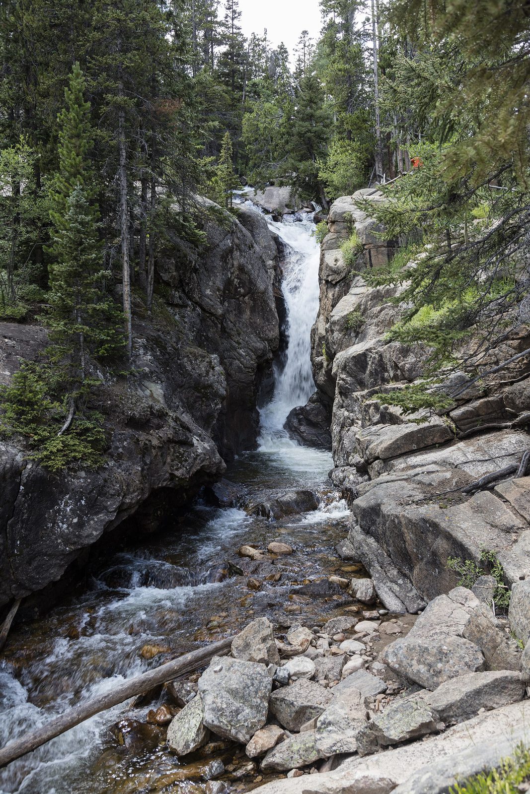
Old Fall River Road was the first road into the park’s high country, finished in 1920, and it is still gravel: 11 miles (18 km), one way uphill, with tight switchbacks, no guardrails and a 15 mph (25 km/h) limit. It climbs through forest to the tundra at Fall River Pass, where it meets Trail Ridge Road at the Alpine Visitor Center. Chasm Falls, a 25-foot (8 m) drop in a narrow gorge, is a short walk from a pullout low on the road. Go up this way and come down Trail Ridge Road for a loop.
- Distance: 11 miles (18 km) one way
- Allow: 1 to 1.5 hours to the pass
- Start: Endovalley Road, west of the Fall River entrance
- When: about July to early October. Ordinary cars manage it when it is dry; long vehicles and trailers are not allowed.
- Suits: confident drivers who want a slower way up
8. Hike to Ouzel Falls in Wild Basin
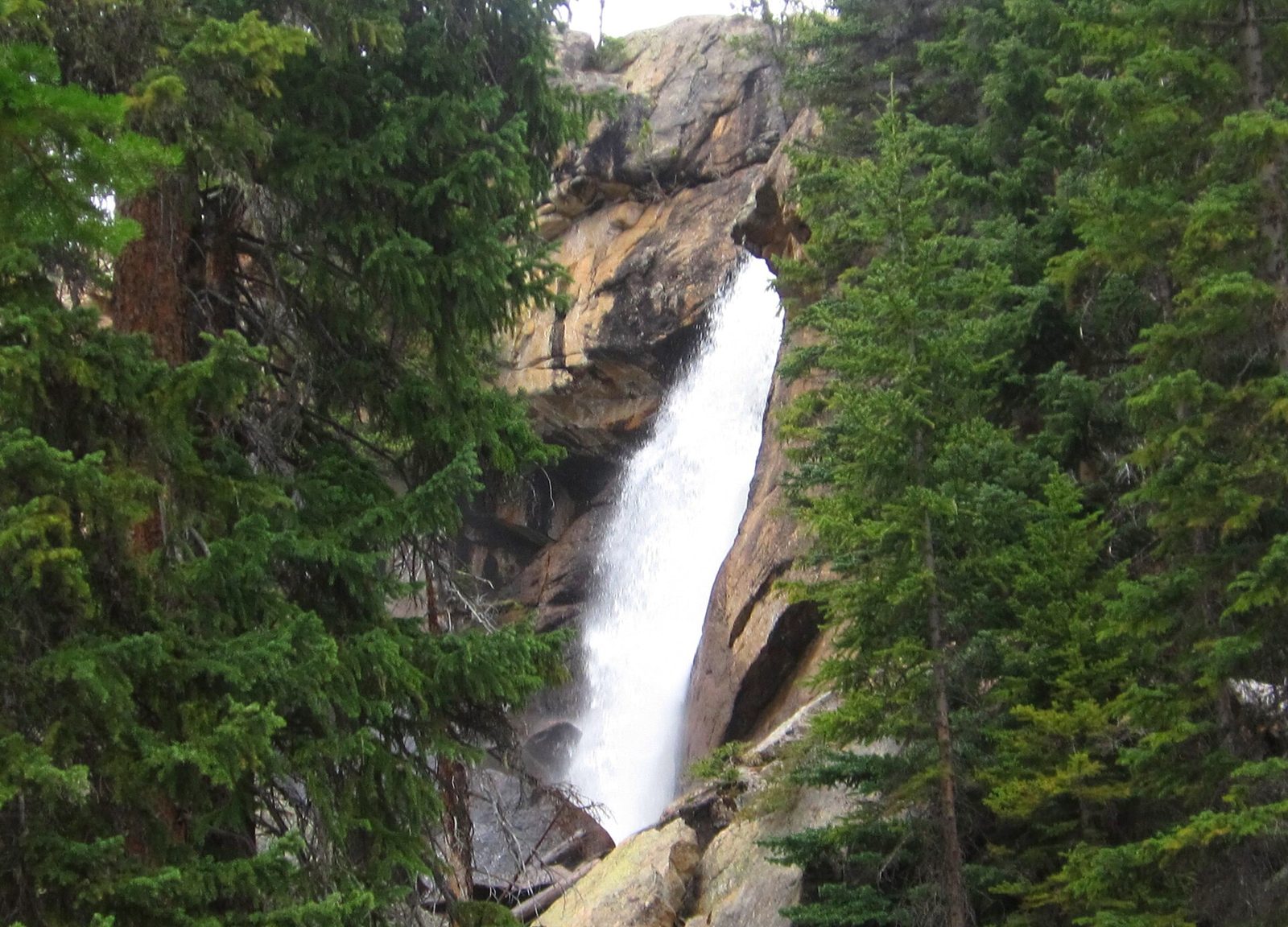
Wild Basin, in the park’s southeast corner, has its own entrance and far fewer people than Bear Lake. The trail follows North St. Vrain Creek through forest past Copeland Falls and Calypso Cascades to Ouzel Falls, a 40-foot (12 m) drop named for the water ouzel, a small grey bird that walks underwater to feed and is often seen along the creek. Water is the theme the whole way, which makes this a good choice in June, when the high trails are still under snow.
- Distance: 2.7 miles (4.3 km) one way
- Climb: about 950 feet (290 m)
- Allow: 3 to 4 hours
- Start: Wild Basin Trailhead, off Highway 7 south of Estes Park
- When: late May to October
- Suits: families with older children; anyone avoiding crowds
9. Cross to the west side and the Kawuneeche Valley
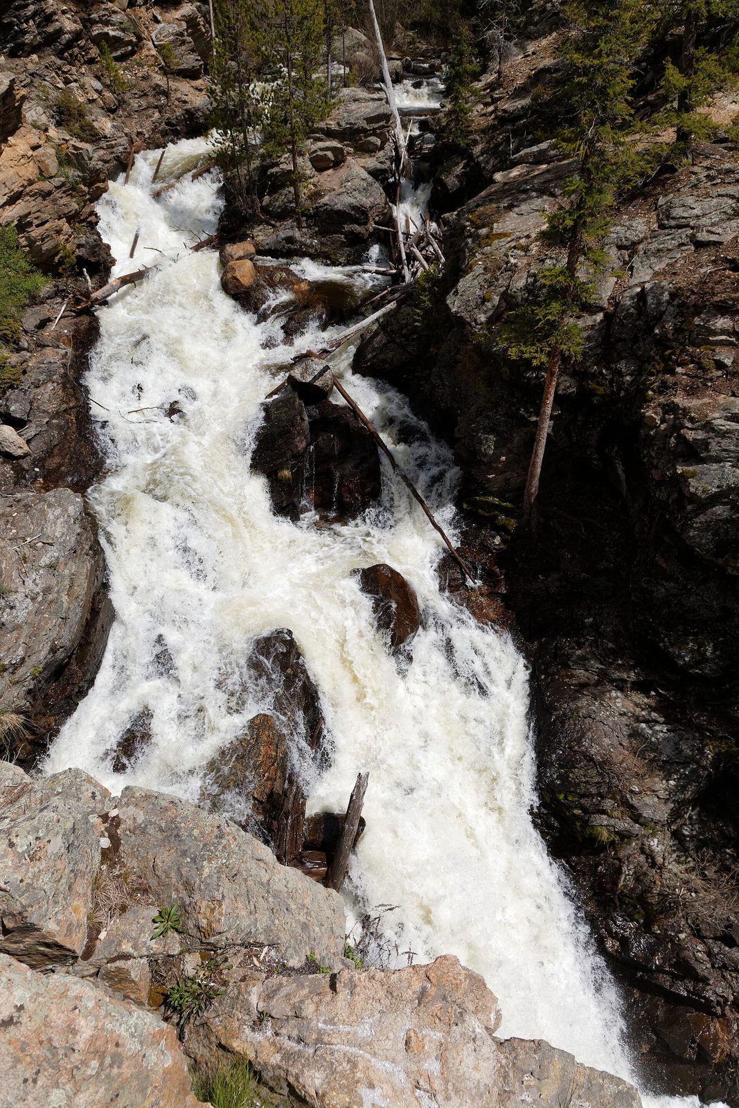
Most visitors enter from Estes Park, so the west side is the quiet side. The Colorado River begins here as a small stream and runs down the Kawuneeche Valley through willow flats that are the best place in the park to see moose. Near the town of Grand Lake, Adams Falls is a 55-foot (17 m) fall a few minutes’ walk from the East Inlet Trailhead, with a wide meadow just beyond it. For a longer walk, the trail up the valley leads to the site of Lulu City, a mining camp founded in 1879 and nearly empty five years later.
- Distance: 0.3 miles (480 m) one way to Adams Falls; about 3.7 miles (6 km) one way to Lulu City
- Allow: half a day on the west side; 4 hours more for Lulu City
- Start: Grand Lake entrance; East Inlet Trailhead for the falls, Colorado River Trailhead for Lulu City
- When: June to October from the east, over Trail Ridge Road; all year from Grand Lake
- Suits: everyone. Give moose more room than elk: at least 120 feet (37 m).
10. Stand on the Continental Divide at Flattop Mountain
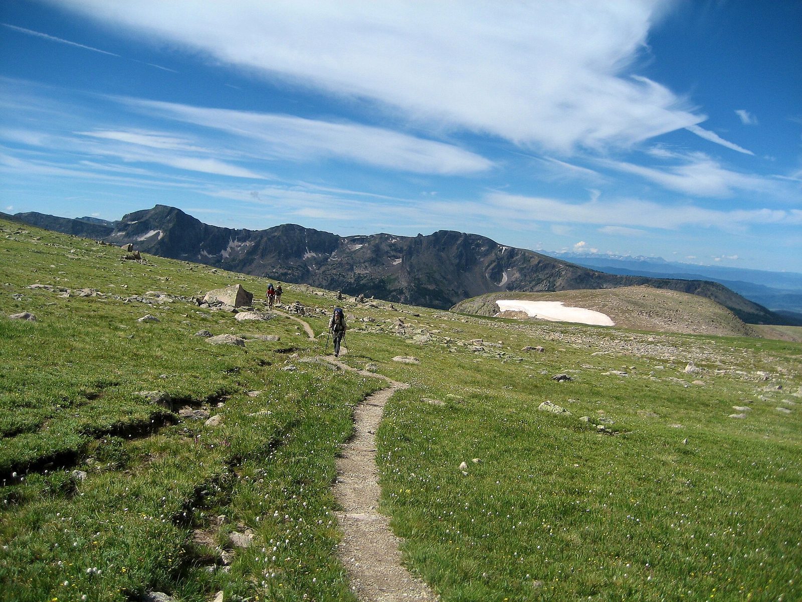
Flattop is the most direct way to the Divide on a maintained trail, with no scrambling. The path climbs from Bear Lake through forest, passes overlooks above Dream and Emerald lakes, and comes out onto tundra for the last third, ending on a broad, level summit at 12,324 feet (3,756 m) beside Tyndall Glacier. Strong hikers add Hallett Peak, about half a mile (800 m) along the rim over rough ground. All of the upper trail is exposed to wind and lightning, so start at dawn and turn around if clouds are building.
- Distance: about 4.4 miles (7.1 km) one way
- Climb: about 2,850 feet (870 m)
- Allow: 6 to 8 hours
- Start: Bear Lake Trailhead
- When: July to September
- Suits: fit, acclimatized hikers
11. Climb Longs Peak, or stop at Chasm Lake
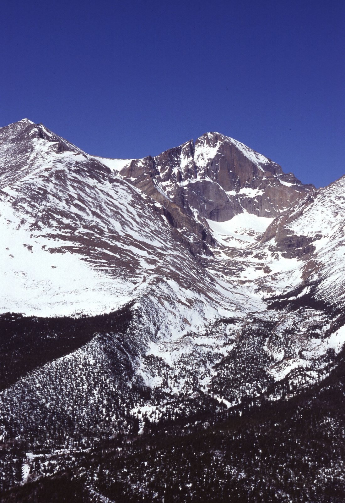
Longs Peak, at 14,259 feet (4,346 m), is the park’s highest summit and the one mountaineers come for. The Keyhole Route is not a hike. Past the Boulder Field it crosses narrow ledges, climbs a steep gully of loose rock and traverses above long drops, and people die on it in most years, from falls, lightning and cold. It is free of snow and ice for only a few weeks, usually from mid-July to early September. Parties start between 1 and 3 a.m. to be off the top by late morning.
Most hikers will get more from Chasm Lake, reached by the same trail to a junction and then a spur to a lake directly under the peak’s 900-foot (270 m) east face, known as the Diamond.
- Distance: about 14.5 miles (23 km) round trip to the summit; 8.4 miles (13.5 km) round trip to Chasm Lake
- Climb: about 5,100 feet (1,550 m) to the summit; about 2,400 feet (730 m) to Chasm Lake
- Allow: 10 to 15 hours for the summit; 5 to 7 hours for Chasm Lake
- Start: Longs Peak Trailhead, off Highway 7 south of Estes Park
- When: mid-July to early September for the summit; July to September for Chasm Lake
- Suits: experienced scramblers for the summit; strong hikers for the lake
Before you go
This list covers what stays the same from year to year. Timed-entry dates, road opening dates and trail conditions change, and the National Park Service posts them on its own site. The link is on our Rocky Mountain National Park guide, with the map, permits and how to get there.