

Nááts’įhch’oh National Park Reserve
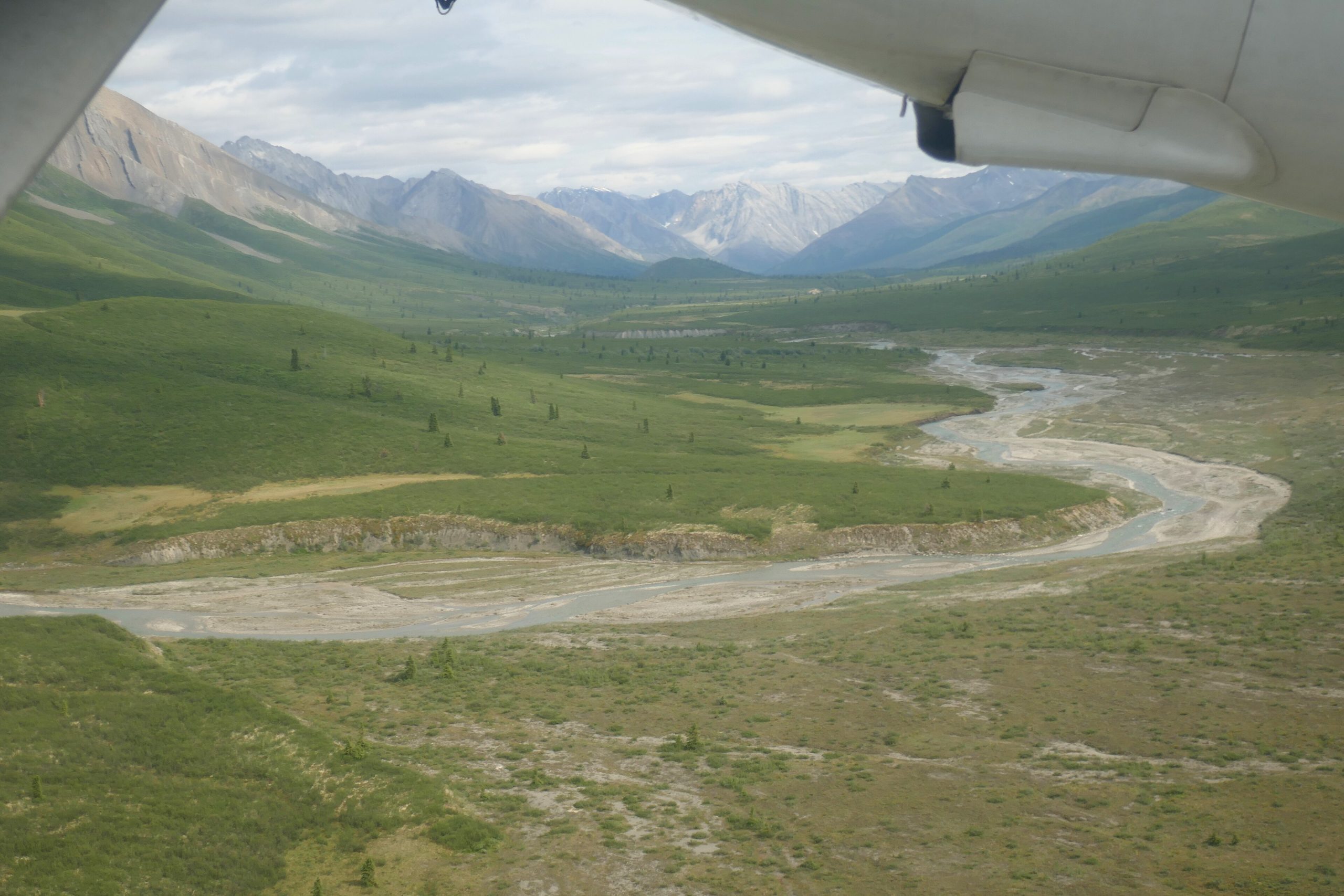
Nááts’įhch’oh protects the wild headwaters of the South Nahanni River in the mountains of the far southwest Northwest Territories, the upstream companion to famous Nahanni. Named for a mountain sacred to the Shúhtaʼotʼįne (Mountain Dene), it is a remote realm of jagged peaks, whitewater rivers and abundant wildlife, protecting the source of one of the North’s great river journeys.
Fast facts
- Established: 2014
- Size: about 1,890 square miles (4,895 km²) in the southwest Northwest Territories
- Setting: the headwaters of the South Nahanni, adjoining Nahanni National Park Reserve
- Named for: Nááts’įhch’oh, a mountain of deep cultural significance
- Access point: Norman Wells or Fort Simpson (fly-in)
- Managed by: Parks Canada, with the Sahtu Dene and Métis
The landscape
This is high, rugged Mackenzie Mountain country, sharp peaks, alpine tundra, boreal valleys and the clear, cold upper reaches of the South Nahanni and its tributaries. Grizzly and black bears, mountain caribou, Dall sheep, mountain goats and wolves range a landscape that sees only a handful of visitors a year, protecting critical habitat and a river of legend at its source.
Best time to go
The short northern summer, roughly June through September, is the only practical window, when the rivers are runnable and the high country is (briefly) mild, though cold, storms and snow are always possible. Outside summer the region is locked in deep cold and darkness.
Getting there and around
There are no roads. Access is by floatplane, typically from Norman Wells or Fort Simpson, landing on a river or lake, and travel within is by canoe, raft or on foot. Trips are genuine expeditions, so most visitors either have strong wilderness experience or travel with a licensed outfitter.
Things to do
Paddling and rafting the upper South Nahanni and its tributaries, often as part of a longer Nahanni journey, is the main draw, along with backpacking the alpine, wildlife and bird watching, and immersion in a rarely traveled mountain wilderness rich in Dene culture.
Staying safe
Come fully self-sufficient: carry a satellite communicator, file a plan, and be ready for cold rivers, whitewater, grizzlies and fast-changing mountain weather. The remoteness is total and rescue far off, so conservative decisions, solid skills, or a licensed outfitter are essential.
Know before you go
A Parks Canada pass and registration are required, and access is by charter air; most visitors travel with an outfitter or as an experienced party. This page is a general overview, not a live conditions report; always confirm current access, conditions and options with Parks Canada before your trip.
- Coordinates
- 62.5722, -128.5856
- Magnetic declination
- 18.6° E (2026)
Set this declination on your compass, then align it to the map's north lines; it is the angle between true north and magnetic north, refreshed each year.
A spread of the park’s main places shows straight away, and the rest appear as you zoom in. You can also search above, or pick any place from the lists below, and the map will go to it.
Sights 11
Peaks 11
Map data comes from third-party sources and may be incomplete or out of date, so carry a current official map (terms).
- Best seasons
- Summer (June to September, fly-in)
- Difficulty
- Strenuous (remote, fly-in)
- Access / trailheads
- In the far southwest Northwest Territories, adjoining Nahanni upstream. Access is by floatplane, typically from Norman Wells or Fort Simpson; there are no roads.
- Water
- Rivers and streams; filter or treat all water.
- Cell / satellite coverage
- No cell service. Carry a satellite communicator and file a trip plan.
- Nearest ranger / SAR / emergency
- Coordinate through Parks Canada; response is very limited.
- Permits & regulations
- A Parks Canada pass and registration are required; access is by air, and most trips are self-sufficient or with a licensed outfitter.
- Leave No Trace
- Pack out everything, respect Shúhtaʼotʼįne (Mountain Dene) heritage, and follow strict Leave No Trace.
January
- Below freezing all day
February
- Below freezing all day
March
- Below freezing all day
April
- Below-freezing nights
May
June
July
August
September This month
October
- Below-freezing nights
November
- Below freezing all day
December
- Below freezing all day
What to bring depends on your trip: how long you’re out, where you sleep, and how far you go from the road. The planner builds the list for yours.
Plan a trip here →Averages for 1981–2010 from Environment Canada climate normals, measured at the Watson Lake Airport station, 170 miles (273 km) away at 2,255 feet (687 m). That is the nearest station with long-term records, so treat these as a regional guide. Conditions change with elevation: expect it colder higher up.