

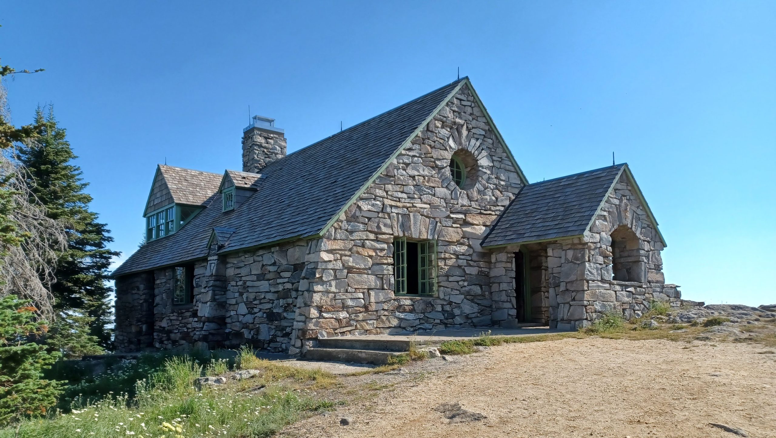
Mount Spokane State Park
Fast facts
- Size: 12,444 acres (50 km²), the largest state park in Washington
- High point: Mount Spokane, 5,883 feet (1,793 m)
- Trails: 100 miles (160 km) for hiking, biking and horseback riding
- Winter: about 300 inches (7.6 m) of snow a year, 37 miles (60 km) of groomed Nordic trail and a downhill ski area
- Camping: eight sites at Bald Knob in summer, plus a fire lookout to rent; no backcountry camping
- Dedicated: 1927
- Managed by: Washington State Parks
The landscape
Mount Spokane is the southern end of the Selkirk Mountains, a broad, rounded massif of granite that stands well above the farmland and pine country around Spokane. The park takes in the main summit and its neighbours, Mount Kit Carson, Beauty Mountain and Quartz Mountain. Ponderosa pine on the lower slopes gives way to dense fir, cedar and hemlock, and then to open subalpine meadows of bear grass and wildflowers near the top, where huckleberries ripen in late summer.
The summit is bare granite with a stone lookout, the Vista House, built in the 1930s, and on a clear day the view reaches into Idaho, Montana and Canada. The mountain collects far more snow than the city below, and that snow shapes the park’s year: skiing and snowshoeing from December to March, and snow lingering on the high trails into June.
Best time to go
July to September is the hiking season, with wildflowers in the meadows in July and huckleberries in August. The road to the summit is open to cars only in summer and early fall; it closes to vehicles in mid-October and reopens in spring, so for most of the year the top is reached on foot, skis or snowshoes. From December 1 to March 31 the park runs as a Sno-Park, with groomed cross-country trails, snowmobile routes, snowshoe trails and the downhill ski area. Bald Knob campground is open only from July to mid-September.
Getting there and around
From Spokane, take US Highway 2 north and turn east on State Route 206, which becomes Mount Spokane Park Drive and climbs through the park. Trailheads are spread along the road, from the lower entrance up to the Selkirk Lodge and, in summer, the summit. Summer hours are 6:30 a.m. to dusk, and winter hours 7 a.m. to 10 p.m. In winter the road is ploughed but steep, and traction tires or chains are often needed. Automated pay stations sell day passes.
Things to do
The trails are shared by hikers, mountain bikers and horse riders and range from short forest loops to all-day circuits. The Burping Brook Loop is an easy 3 miles (4.8 km) through big trees, the routes over Mount Kit Carson and Day Mountain lead through meadows to granite viewpoints, and the ’Round the Mountain Trail is a 13-mile (21 km) circuit of the peak. In summer you can drive or hike to the Vista House on the summit. Quartz Mountain, at the park’s eastern edge, has a fire lookout that can be rented overnight from mid-June to October.
In winter, 37 miles (60 km) of groomed Nordic trail start from the Selkirk Lodge, with warming huts along the way, and 16 miles (26 km) of groomed route are open to snowmobiles. Ungroomed trails are used for snowshoeing and fat-tire biking, and skis and snowshoes can be rented beside the lodge. The Mt. Spokane Ski and Snowboard Park, inside the state park, has lifts, 52 runs and night skiing.
Staying safe
Weather on the mountain is not the weather in Spokane. The summit is exposed, often windy and much colder than the valley, and summer afternoons bring thunderstorms; get off the open ridges if you hear thunder. In winter, storms can bring whiteout conditions, deep new snow and bitter wind chill, and daylight is short. Carry extra layers, a light and a map, and tell someone your route.
The trail network is large and the junctions are many, so it is easy to come down on the wrong side of the mountain. Carry the park’s trail map and check it at each junction. Moose are common here and should be given a wide berth, most of all cows with calves; black bears and cougars are present too. On shared trails, watch for bikes on descents, and in winter keep clear of groomed snowmobile routes unless you are on one.
Know before you go
Dogs are allowed on a leash in summer, but not on the groomed Nordic ski trails in winter. A Discover Pass does not cover parking during the Sno-Park season, when a Sno-Park permit is needed. Fire restrictions are common in late summer. This page is a general overview, not a live conditions report, so check road and summit access, snow conditions and burn bans with Washington State Parks before you go.
- Coordinates
- 47.9228, -117.1242
- Magnetic declination
- 13.7° E (2026)
Set this declination on your compass, then align it to the map's north lines; it is the angle between true north and magnetic north, refreshed each year.
How declination works, and how to navigate with a map and compass
A spread of the park’s main places shows straight away, and the rest appear as you zoom in. You can also search above, or pick any place from the lists below, and the map will go to it. Places in bold, marked , have a short description.
On the trail 8
Route
Campground
Huts and shelters
Picnic sites
Sights 9
Heritage site
Peaks
Map data comes from third-party sources and may be incomplete or out of date, so carry a current official map (terms).
Looking for one of these closer to home?Destinations near me by trip type →
- Best seasons
- Summer (wildflowers and huckleberries), Early fall, Winter (skiing and snowshoeing)
- Difficulty
- Easy to strenuous
- Access / trailheads
- About 23 miles (37 km) northeast of Spokane. From US Highway 2, State Route 206 (Mount Spokane Park Drive) climbs to the park entrance and on to the Selkirk Lodge and ski area. The Summit Road beyond is closed to vehicles from mid-October until spring.
- Water
- Drinking water at the park office area, Bald Knob and the Selkirk Lodge in season. Streams are small and should be treated; carry water on the ridges.
- Cell / satellite coverage
- Good on the summit and upper ridges, patchy to none in the valleys and on the north side.
- Nearest ranger / SAR / emergency
- Emergencies: 911. Park office: 509-238-4258.
- Permits & regulations
- A Discover Pass is required for vehicles from April to November. From December 1 to March 31 the park is a Sno-Park and a Sno-Park permit is required instead. The eight campsites and the fire lookout are reserved through Washington State Parks.
- Leave No Trace
- Stay on signed trails, yield as posted on shared trails, keep dogs leashed, keep fires in the provided pits, and pack out all trash.
January
- Below-freezing nights
February
- Below-freezing nights
March
- Below-freezing nights
April
- Below-freezing nights
May
June
July
- Day-to-night swing of 36°F (20°C)Day-to-night swing of 20°C (36°F)
August
- Day-to-night swing of 37°F (21°C)Day-to-night swing of 21°C (37°F)
September
- Day-to-night swing of 34°F (19°C)Day-to-night swing of 19°C (34°F)
October This month
- Below-freezing nights
November
- Below-freezing nights
December
- Below-freezing nights
What to bring depends on your trip: how long you’re out, where you sleep, and how far you go from the road. The planner builds the list for yours.
Plan a trip here →Averages for 1991–2020 from NOAA U.S. Climate Normals, measured at the Deer Park Airport station, 15 miles (25 km)25 km (15 miles) away at 2,205 feet (672 m)672 m (2,205 feet). Higher trails run colder, by about 3.5°F for every 1,000 ft (2°C per 300 m)2°C for every 300 m (3.5°F per 1,000 ft) of climb. Daylight runs from sunrise to sunset on the 15th, on the park’s own clock, for a level horizon. Valleys and slopes facing away from the sun are in shade earlier.
Nearby parks
-
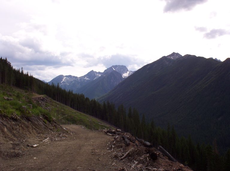 Kokanee Glacier Provincial Park
Glaciers, more than 30 alpine lakes and a classic backcountry cabin in the Selkirk Mountains north of Nelson.
-
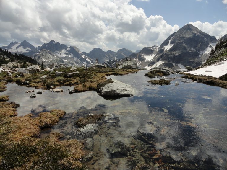 Valhalla Provincial Park
Castellated granite peaks and big alpine lakes above the west shore of Slocan Lake, reached by boat or forestry road.
-
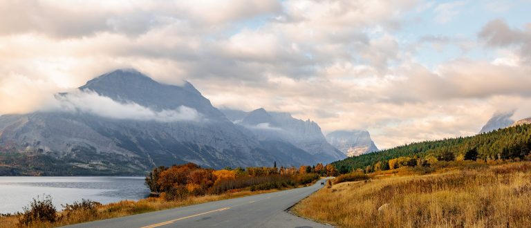 Glacier National Park (US)
The Crown of the Continent in Montana: jagged peaks, turquoise lakes, Going-to-the-Sun Road and hundreds of miles of trail.
-
 Cathedral Provincial Park
Turquoise alpine lakes and the Rim Trail's granite formations above the Ashnola River, reached only on foot by a long, steep climb.
Straight-line distance between park centres. Road distance is usually longer.
Looking for somewhere closer to home?
See every park and monument within a day’s drive of where you are.