

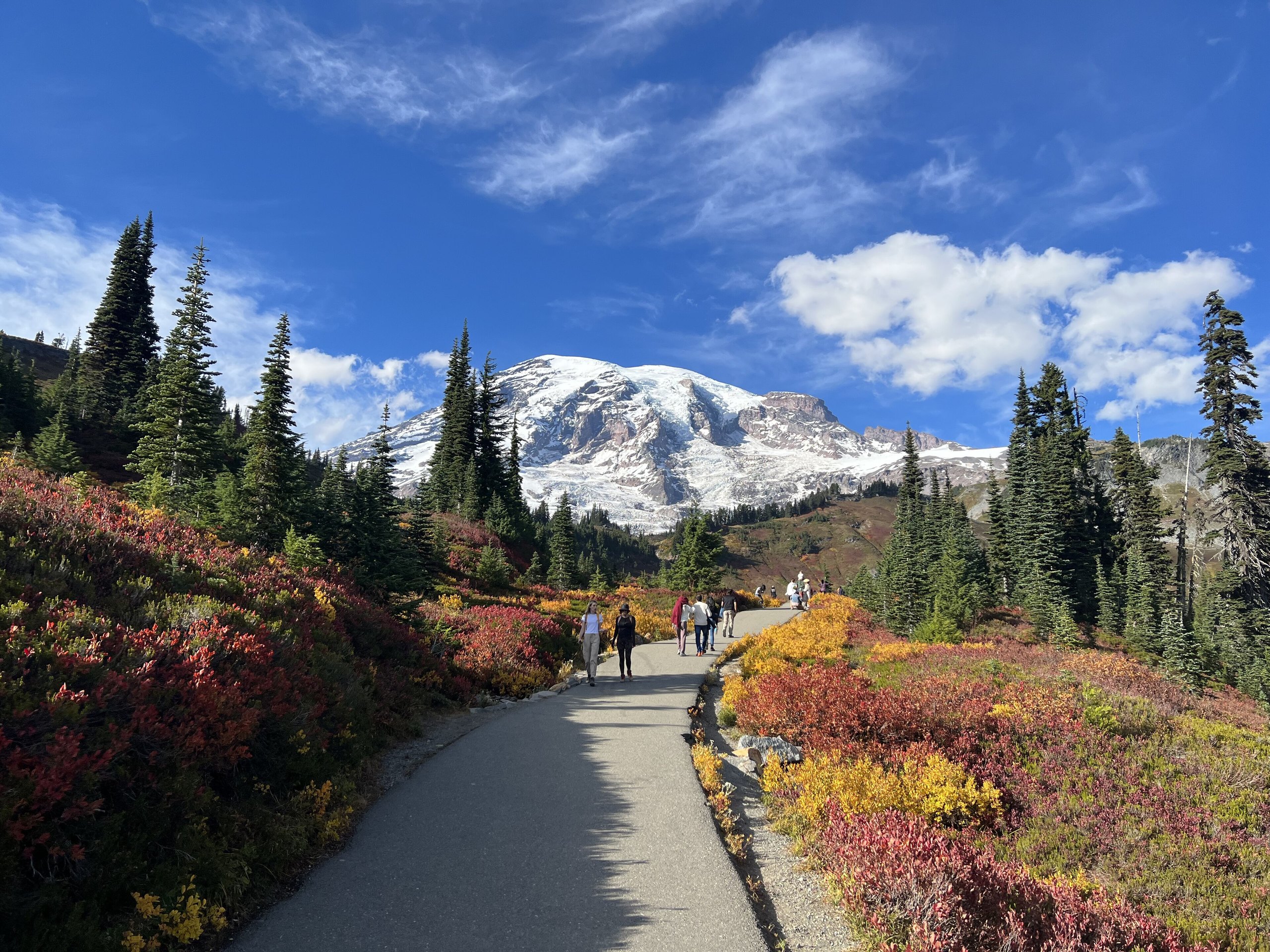
Top 10 things to do in Mount Rainier National Park
Mount Rainier is a 14,406-foot (4,391 m) volcano with more glacier ice on it than any other peak in the lower 48 states, and the park is the mountain and the forest around its base. Roads reach two high points on its flanks, Paradise on the south and Sunrise on the northeast, and most visitors spend their day at one or the other. These are the ten outings we would put first. The order starts with what the park is known for, then goes by what an outing gives back for the time and effort it takes. Distances and heights are National Park Service figures; times are our estimates and do not include stops.
The season on the mountain is short. Snow covers the meadows at Paradise into July in most years, the flowers peak from late July to mid-August, and snow returns in October. The mountain makes its own weather and is hidden in cloud on many days, even in summer, so check the webcams before a long drive. In some summers the park has required a timed-entry reservation for one or both of the high roads.
1. Hike the Skyline Trail from Paradise
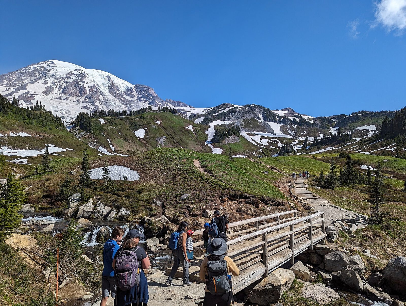
This loop is the best day hike in the park and one of the best in any national park. It climbs from the visitor center through subalpine meadows, past marmots sunning on the rocks, to Panorama Point at 6,800 feet (2,070 m), with the Nisqually Glacier’s icefalls close on one side and, on a clear day, Mount Adams, Mount St. Helens and Mount Hood lined up to the south. The return runs down the east side past small waterfalls and the memorial to the first recorded climb. The meadows are fragile and slow to heal: stay on the trail, even where it is under snow.
The upper trail holds steep snow into August in some years. If you are not equipped for it, turn around where the snow begins.
- Distance: a loop of 5.5 miles (8.9 km)
- Climb: about 1,700 feet (520 m)
- Allow: 4 to 5 hours
- Start: Henry M. Jackson Visitor Center, Paradise
- When: mid-July to early October
- Suits: fit walkers. Go clockwise to face the mountain on the way up.
2. Walk to Myrtle Falls in wildflower season
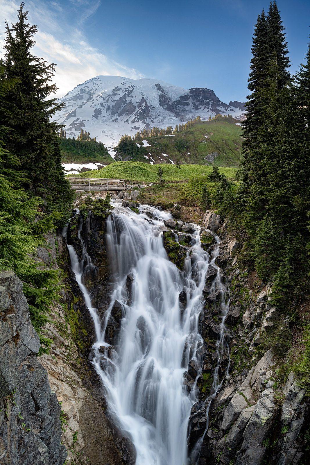
Paradise is named for its meadows. For a few weeks after the snow melts they fill with lupine, paintbrush, bistort and avalanche lilies, and a paved path leads through them from Paradise Inn to a footbridge above Myrtle Falls, where the stream drops into a gorge with the whole mountain standing behind it. It is the most photographed spot in the park, and it takes less than half an hour to reach. The path is steep in places but paved all the way.
- Distance: about 0.8 miles (1.3 km) round trip
- Allow: 45 minutes
- Start: the upper parking area at Paradise, beside Paradise Inn
- When: late July to mid-August for flowers; September for red and gold huckleberry
- Suits: everyone; wheelchair users will need help on the grades
3. Drive up to Sunrise
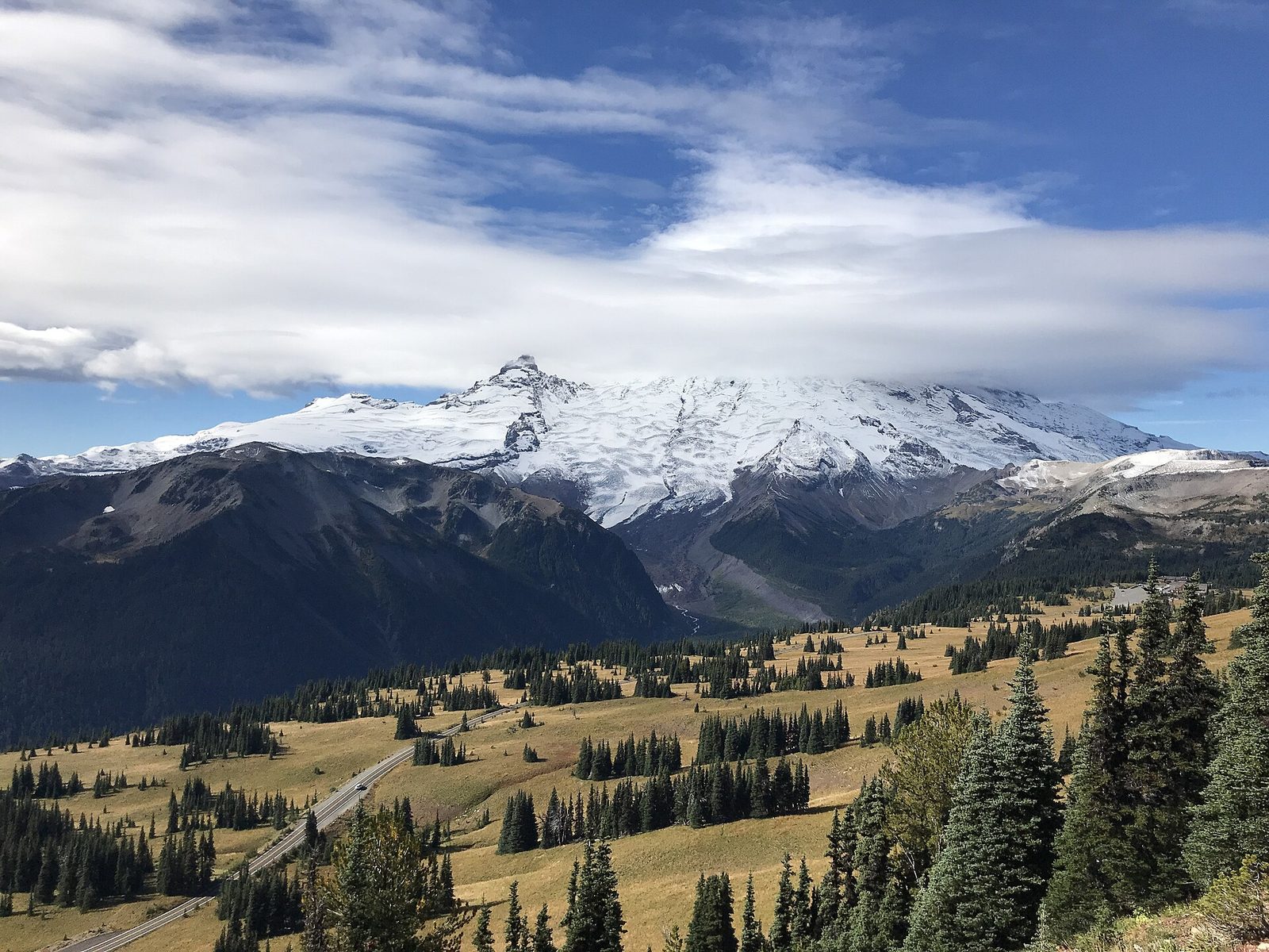
Sunrise, at 6,400 feet (1,950 m), is the highest point in the park that a road reaches, and it faces the Emmons Glacier, the largest glacier by area in the lower 48 states. It is drier, quieter and more open than Paradise. From the parking area a short climb leads to Sourdough Ridge, with views north to the Cascades, and the Emmons Vista path goes the other way to an overlook of the glacier. For a real hike, the trail to the Mount Fremont fire lookout runs along open ridges where mountain goats are often seen.
- Distance: about 1 mile (1.6 km) round trip to Emmons Vista or the ridge; 5.6 miles (9 km) round trip to the Mount Fremont Lookout, with about 900 feet (270 m) of climbing
- Allow: half a day; the road from the White River entrance takes about 45 minutes
- Start: Sunrise, at the end of Sunrise Road, off Highway 410
- When: about early July to late September, while the road is open
- Suits: everyone at the viewpoints; steady walkers to the lookout
4. See the mountain in the Reflection Lakes
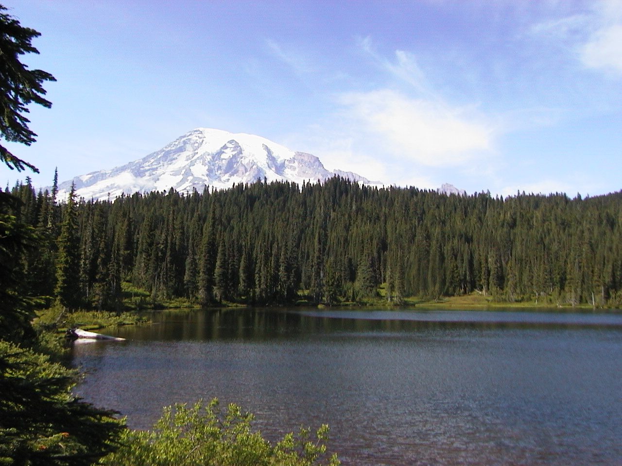
On a calm morning these small lakes beside Stevens Canyon Road hold a full, sharp image of the mountain, framed by subalpine fir. The view is from the roadside pullouts, so it costs nothing in effort, and it is at its best in the first hour after sunrise before the wind comes up. The lakeshore is closed to walking, fishing and swimming to protect the plants. In late September the huckleberry around the lakes turns crimson.
- Distance: at the roadside
- Allow: 30 minutes
- Start: Stevens Canyon Road, about 3 miles (4.8 km) east of the Paradise road
- When: about July to October, while the road is open
- Suits: everyone
5. Stop at Narada and Christine falls
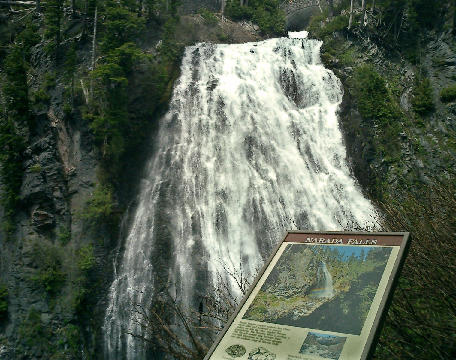
The road from Longmire to Paradise passes two waterfalls worth getting out for. Christine Falls drops in two tiers, the lower one framed by the stone arch of a 1928 road bridge, and is seen from a viewpoint a few steps below the pullout. Narada Falls is larger: the Paradise River fans 168 feet (51 m) down the face of an old lava flow, and a short, steep path leads to a viewpoint at its foot, often in the spray and, on sunny afternoons, in a rainbow.
- Distance: about 0.2 miles (300 m) round trip to the Narada Falls viewpoint, steep
- Allow: 30 to 45 minutes for both
- Start: pullouts on the Paradise road, between Longmire and Paradise
- When: all year, though the Narada path is closed by ice and snow in winter
- Suits: everyone at the upper viewpoints
6. Walk the Naches Peak Loop
At Chinook Pass, on the park’s eastern edge, this loop circles a small peak through meadows and past ponds, with the mountain filling the western sky for half the way. For the effort it has the best wildflowers and, in late September, the best fall colour of any easy trail in the park. Walk it clockwise, starting on the Pacific Crest Trail, so that the mountain is in front of you on the second half. Dogs are allowed on the first half, which lies outside the park, and not on the second.
- Distance: a loop of about 3.5 miles (5.6 km)
- Climb: about 600 feet (180 m)
- Allow: 2 hours
- Start: Tipsoo Lake, on Highway 410 at Chinook Pass
- When: late July to early October
- Suits: families
7. Explore Longmire
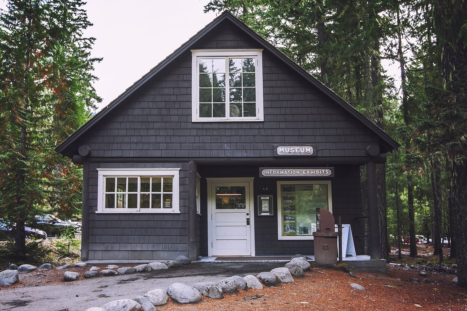
Longmire, in the forest at 2,761 feet (842 m), is where the park began: James Longmire opened a mineral springs resort here in the 1880s. The Trail of the Shadows, a level loop across the road from the National Park Inn, passes the springs, a cabin his family built, and a beaver meadow with the mountain above it. The small museum is one of the oldest in the national parks. Longmire is open all year and is the place to go when Paradise is in cloud.
- Distance: a loop of 0.7 miles (1.1 km)
- Allow: 1 hour
- Start: Longmire, 6.5 miles (10.5 km) inside the Nisqually Entrance
- When: all year
- Suits: everyone
8. Look into Box Canyon
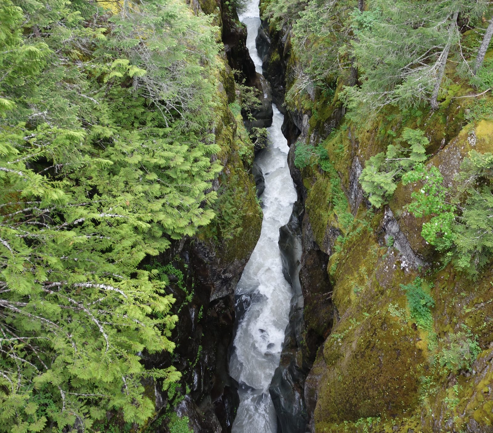
Stevens Canyon Road links Paradise with the park’s east side, and Box Canyon is its best stop. A river fed by the Cowlitz Glacier has cut a slot 180 feet (55 m) deep and, in places, only a few yards wide, through rock that the glacier polished smooth. A short paved loop crosses the slot on a footbridge. The road itself, cut into the canyon wall, gives long views of the mountain’s south face.
- Distance: a loop of 0.5 miles (0.8 km)
- Allow: 30 minutes
- Start: Box Canyon, on Stevens Canyon Road about 11 miles (18 km) east of Paradise
- When: about July to October
- Suits: everyone
9. Climb to Camp Muir
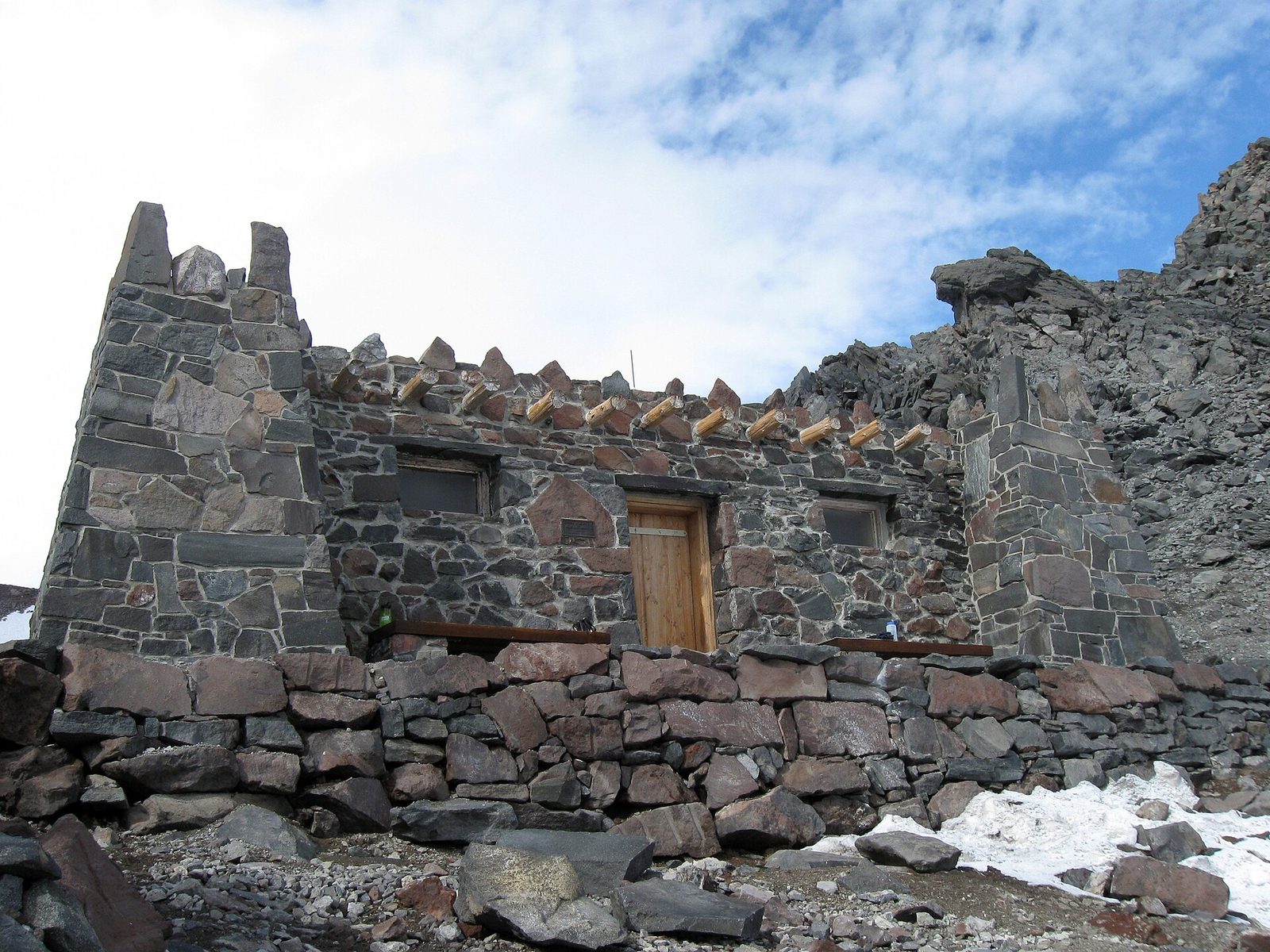
Camp Muir, at 10,188 feet (3,105 m), is the high camp for most summit climbs, and strong hikers can reach it in a day without ropes. The route follows the Skyline Trail to Pebble Creek, then climbs the Muir Snowfield, a broad, steady slope of permanent snow, for more than 2 miles (3.2 km). The stone huts sit on a ridge between two glaciers, with the summit still 4,200 feet (1,280 m) above.
This is the most dangerous outing on the list. Cloud can close in on the snowfield within minutes, and hikers who lost the route in whiteouts have walked onto the glaciers on either side and died. Go only on a settled forecast, carry a map, compass and GPS track, and turn around at the first sign of cloud. Going above Camp Muir, or onto any glacier, needs a climbing permit and mountaineering skills.
- Distance: about 9 miles (14.5 km) round trip
- Climb: about 4,700 feet (1,430 m)
- Allow: 7 to 10 hours
- Start: Paradise
- When: July to September, on a clear day
- Suits: very fit, experienced hikers used to altitude and snow travel
10. Snowshoe at Paradise in winter
Paradise is one of the snowiest places on Earth where snowfall is measured, averaging about 640 inches (16 m) a year. The road from Longmire is ploughed through the winter, usually opening each morning once it is clear, and the meadows become open ground for snowshoeing, skiing and sledding in the marked snow-play area. Rangers lead snowshoe walks on weekends and holidays. Every vehicle must carry tyre chains in winter, and anything beyond the flat ground near the parking area is avalanche terrain.
- Allow: a day
- Start: Paradise, by the Nisqually Entrance and Longmire
- When: about December to April
- Suits: families near the visitor center; experienced winter travellers beyond it
Before you go
This list covers what stays the same from year to year. Road opening dates, timed-entry rules, trail and bridge closures and avalanche forecasts change, and the National Park Service posts them on its own site. The link is on our Mount Rainier National Park guide, with the map, permits and how to get there.