

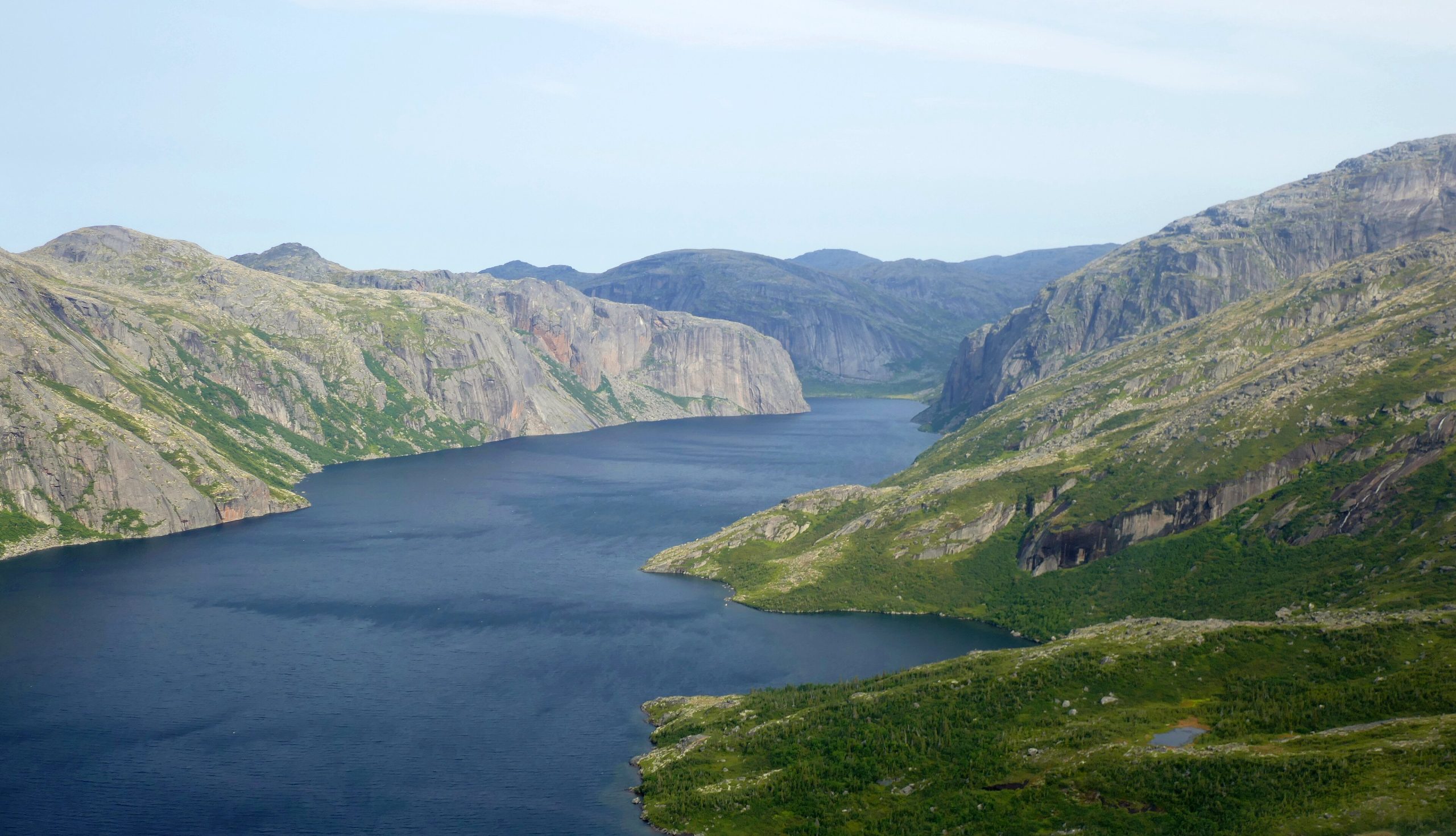
Akami-Uapishkᵁ-KakKasuak-Mealy Mountains National Park Reserve
One of Canada’s newest and least-developed national park reserves, Akami-Uapishkᵁ-KakKasuak-Mealy Mountains protects a vast sweep of the Labrador wilderness, subarctic mountains, boreal forest, wild rivers and a stretch of Atlantic coast. Co-managed with Innu and Inuit partners, it is a place of raw, roadless country where self-reliant travelers find some of the most untouched land in eastern North America.
Fast facts
- Established: 2015, as a national park reserve
- Size: roughly 4,130 square miles (10,700 km²), one of the largest parks in eastern Canada
- Setting: central and coastal Labrador, around the Mealy Mountains
- Co-managed with: Innu Nation, Nunatsiavut and NunatuKavut partners
- Character: remote, minimally developed wilderness
- Managed by: Parks Canada
The landscape
The reserve spans the rounded Mealy Mountains, expanses of boreal forest and subarctic barrens, the powerful English (Kenamu) and other rivers, and the shores of Lake Melville and the Atlantic. It shelters the threatened Mealy Mountain caribou herd, black bears, porcupine caribou country to the north, and rich birdlife across its bogs and coasts.
Best time to go
The practical season is the short subarctic summer, roughly July into September, when rivers are runnable and the barrens are (relatively) mild, though weather is always changeable and insects peak in midsummer. Winter offers snowmobile access for the experienced but demands full cold-weather expertise.
Getting there and around
There are no roads into the park. Access is by boat across Lake Melville, by small plane, or by snowmobile in winter, typically staging from Happy Valley-Goose Bay. Once in, travel is on foot or by paddle, and trips are genuine expeditions requiring careful planning.
Things to do
This is a park for wilderness canoeing and river travel, backpacking the barrens and mountains, wildlife and bird watching, and quiet immersion in a living cultural landscape. There are no developed trails or facilities to speak of, so the experience is one of self-guided or outfitter-supported adventure.
Staying safe
Come fully self-sufficient: carry a satellite communicator, file a detailed trip plan, and be ready for black bears, cold rivers, and weather that can turn wintry any month. River crossings and paddling demand skill and caution, and help is far away, so conservative decisions and solid backcountry experience are essential.
Know before you go
A Parks Canada pass and trip registration are required, and because infrastructure is minimal, most visitors travel with a licensed outfitter or as an experienced, self-reliant party. This page is a general overview, not a live conditions report; always confirm current access, conditions and requirements with Parks Canada before your trip.
- Coordinates
- 53.5946, -58.2872
- Magnetic declination
- 19.0° W (2026)
Set this declination on your compass, then align it to the map's north lines; it is the angle between true north and magnetic north, refreshed each year.
A spread of the park’s main places shows straight away, and the rest appear as you zoom in. You can also search above, or pick any place from the lists below, and the map will go to it.
Getting there 2
Airstrips
On the trail 1
Hut or shelter
Sights 60
Islands
Peaks 30
Map data comes from third-party sources and may be incomplete or out of date, so carry a current official map (terms).
- Best seasons
- Summer (short season)
- Difficulty
- Strenuous (remote wilderness)
- Access / trailheads
- In central Labrador, southwest of Happy Valley-Goose Bay. Access is by boat, small plane or snowmobile in winter; there is no road into the interior.
- Water
- Abundant rivers and streams; filter or treat all water.
- Cell / satellite coverage
- No cell service. Carry a satellite messenger and file a trip plan.
- Nearest ranger / SAR / emergency
- Coordinate through Parks Canada in Happy Valley-Goose Bay; life-threatening emergencies: 911 where reachable.
- Permits & regulations
- A Parks Canada pass and, for overnight trips, registration are required; this is a developing reserve with very limited infrastructure, so visitors must be self-sufficient.
- Leave No Trace
- Pack out everything, respect Innu and Inuit heritage, and follow strict Leave No Trace.
January
- Below freezing all day
February
- Below freezing all day
March
- Below freezing all day
April
- Below-freezing nights
May
- Below-freezing nights
June
July
August
September This month
October
November
- Below-freezing nights
December
- Below freezing all day
What to bring depends on your trip: how long you’re out, where you sleep, and how far you go from the road. The planner builds the list for yours.
Plan a trip here →Averages for 1981–2010 from Environment Canada climate normals, measured at the Cartwright station, 52 miles (84 km) away at 47 feet (14 m). Conditions change with elevation: expect it colder higher up.