

Top 11 things to do in Joshua Tree National Park
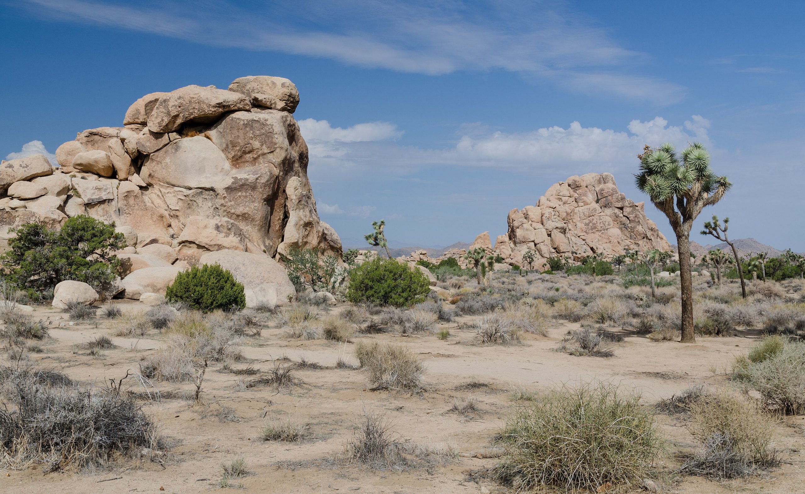
Joshua Tree lies where two deserts meet. The western half is high Mojave, with the spiky trees the park is named for and piles of rounded granite boulders; the eastern half drops into the lower, hotter Colorado Desert of cholla and ocotillo. Most of what visitors come for is along Park Boulevard in the western half, within a few minutes’ drive of each other. These are the eleven outings we would put first. The order starts with what the park is known for, then goes by what an outing gives back for the time and effort it takes. Distances and heights are National Park Service figures; times are our estimates and do not include stops.
This is a cool-season park. From October to April the days are mild and the nights cold. From June to September the afternoons pass 100°F (38°C), and people die here from heat on short trails. There is no drinking water for sale or on tap in most of the park, no fuel, and little cell coverage: bring at least a gallon (4 litres) of water per person per day and start with a full tank.
1. Walk the Hidden Valley loop
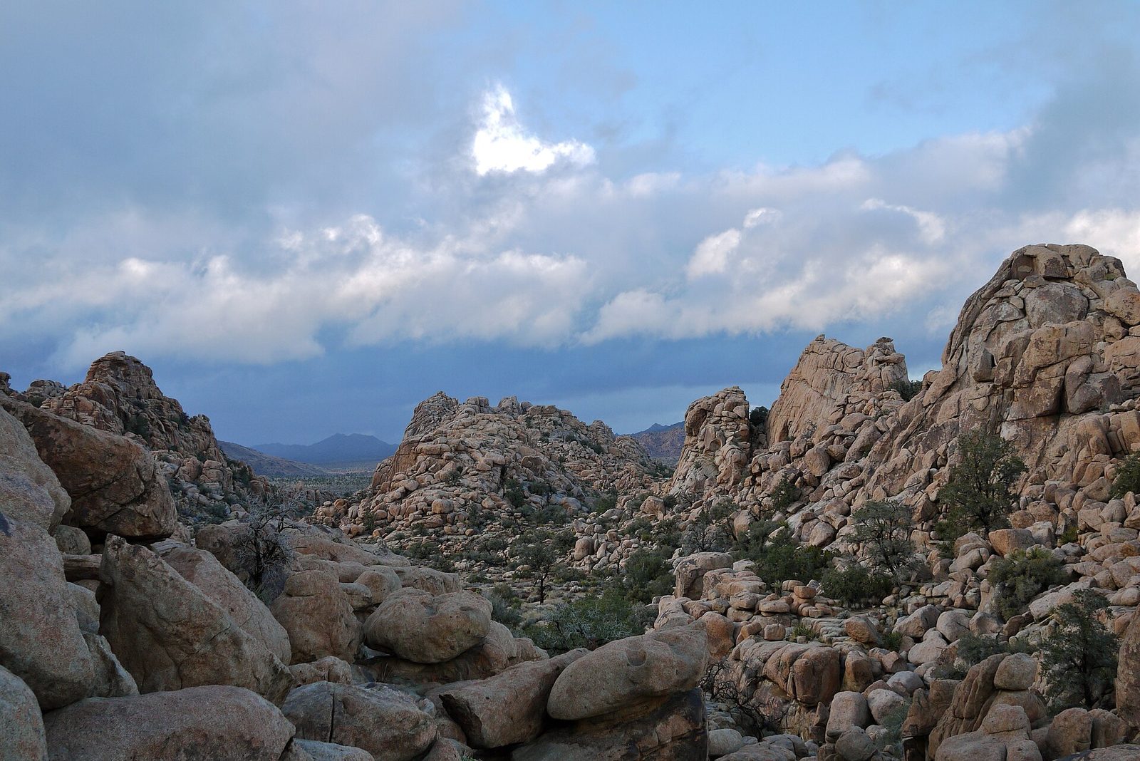
If you want the park in one short walk, this is it. The trail squeezes through a gap in a wall of boulders into an enclosed valley about a quarter-mile (400 m) across, ringed by granite piles, with Joshua trees, pinyon pines and junipers on the floor. The story is that cattle rustlers hid stolen herds here in the 1870s. The loop circles the valley past signs on the plants and the rock, and climbers are usually at work on the walls: this is one of the best-known climbing areas in North America.
- Distance: a loop of 1 mile (1.6 km)
- Allow: 45 minutes to 1 hour
- Start: Hidden Valley picnic area, on Park Boulevard about 10 miles (16 km) from the West Entrance
- When: October to May; early morning in the warm months
- Suits: families. There are a few rock steps.
2. Watch sunset from Keys View
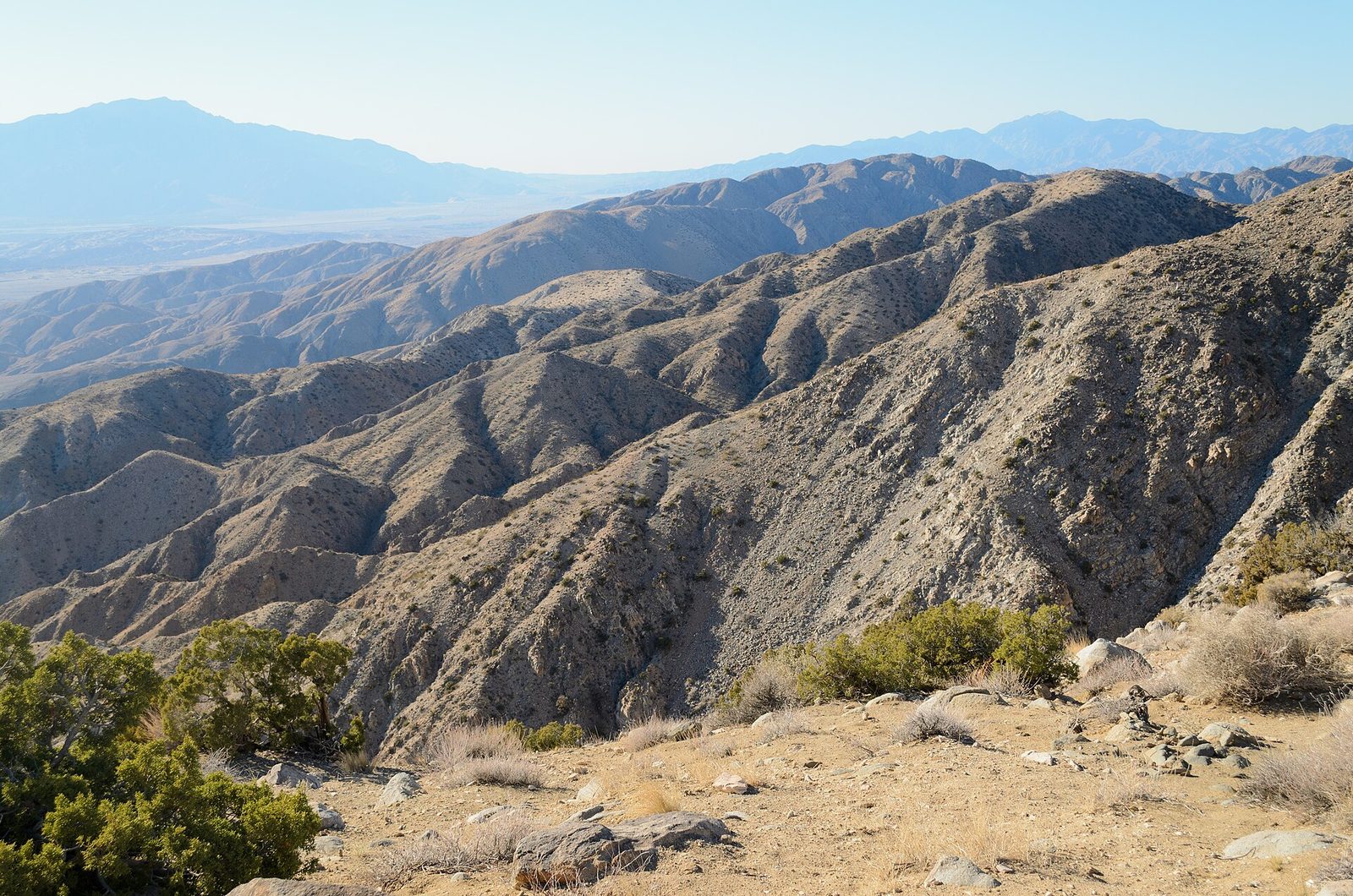
Keys View sits at 5,185 feet (1,580 m) on the crest of the Little San Bernardino Mountains, where the ground falls away about 5,000 feet (1,500 m) to the Coachella Valley. The view runs from the Salton Sea, past Palm Springs, to the snow on San Jacinto and San Gorgonio, and the long straight line across the valley floor is the San Andreas Fault. A short paved loop leads from the parking area to the viewpoint. Haze often dulls the view at midday; the last hour of light is clearest, and it is windy and cold up here after sundown.
- Distance: a paved loop of about 0.2 miles (300 m)
- Allow: 30 minutes, plus 20 minutes’ drive each way from Park Boulevard
- Start: the end of Keys View Road
- When: all year
- Suits: everyone. The lower viewpoint takes wheelchairs.
3. Climb Ryan Mountain
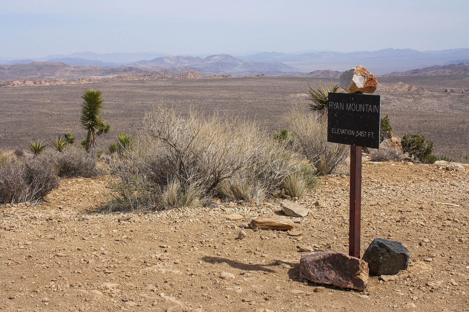
Ryan Mountain is the best summit in the park for the effort. The trail climbs from the first step, on stone stairs and switchbacks, to a broad top at 5,456 feet (1,663 m) in the middle of the park, with the boulder fields of the Wonderland of Rocks, the Joshua tree flats of Queen and Lost Horse valleys, and the big ranges to the west all in view. There is no shade anywhere on it. In warm weather be on the trail at sunrise, and do not start it at all on a hot afternoon.
- Distance: 3 miles (4.8 km) round trip
- Climb: 1,050 feet (320 m)
- Allow: 1.5 to 2.5 hours
- Start: Ryan Mountain Trailhead, on Park Boulevard between Sheep Pass and Ryan Campground
- When: October to April
- Suits: fit walkers
4. See the Cholla Cactus Garden at sunrise
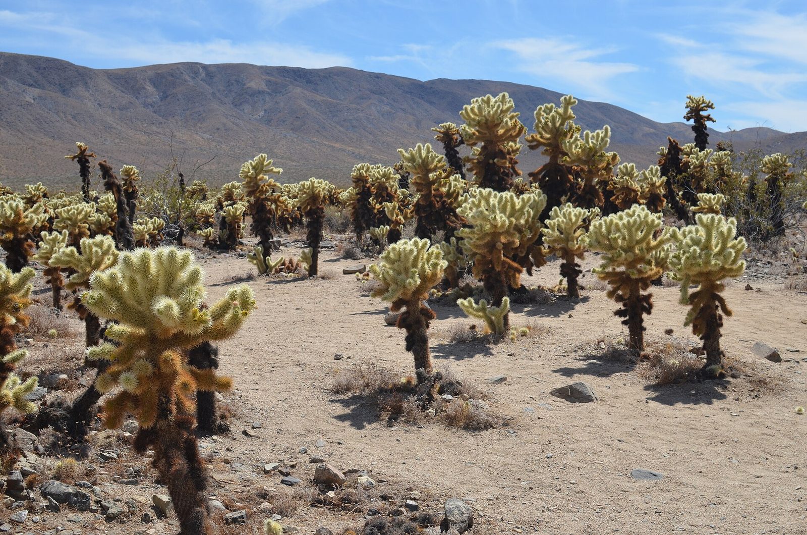
On the road down into the Pinto Basin, thousands of teddy bear cholla grow shoulder to shoulder across a few acres of slope. Early or late in the day, with the sun low behind them, their pale spines light up as though the plants were glowing. A level path loops through the stand. The spines are barbed, and whole joints break off at the lightest touch and work into skin and clothing, so stay on the path, keep children and dogs close, and carry tweezers or a comb.
- Distance: a loop of a quarter-mile (400 m)
- Allow: 30 minutes, plus about 20 minutes’ drive from Park Boulevard
- Start: Cholla Cactus Garden, on Pinto Basin Road 12 miles (19 km) south of the North Entrance
- When: all year; sunrise or the hour before sunset
- Suits: everyone; keep small children in hand
5. Walk to Barker Dam
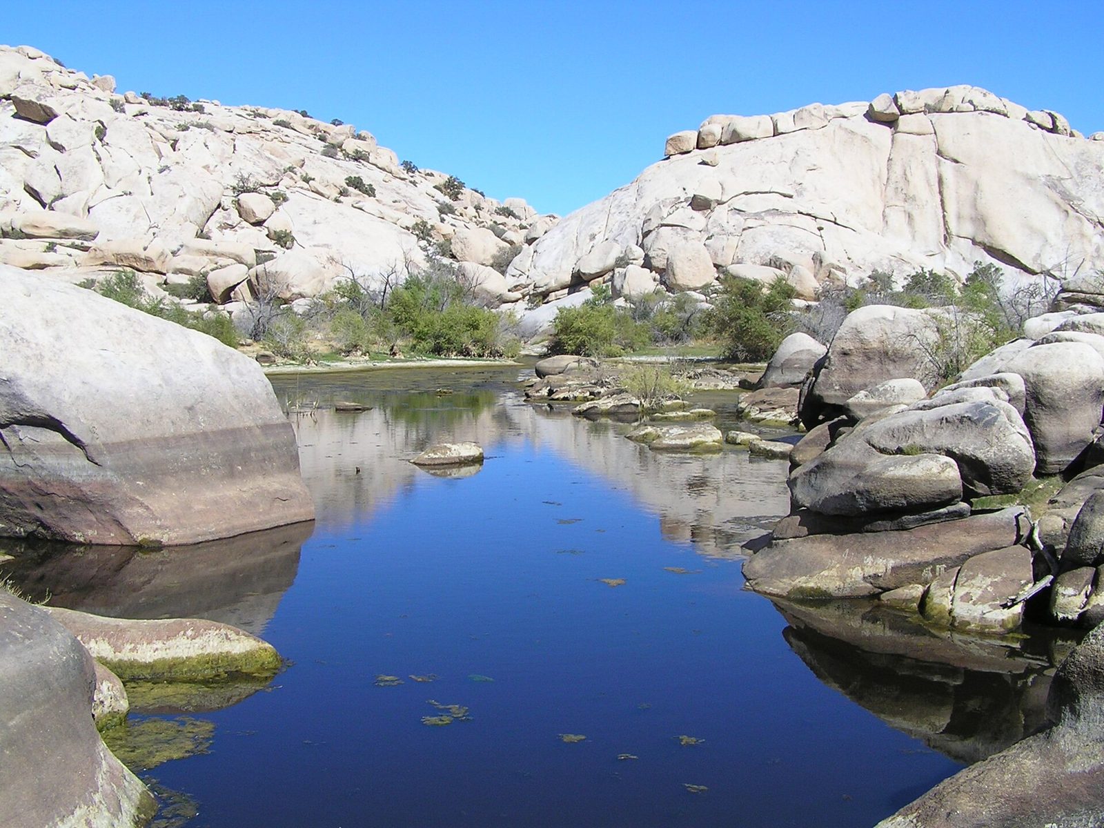
Ranchers built this dam around 1900 to hold rainwater for cattle, and after a wet winter a small lake still stands behind it among the boulders, one of the few places in the park where you may see open water. When it holds water it draws birds and, at dawn and dusk, bighorn sheep. The loop passes the dam, crosses an open flat of Joshua trees, and returns by a rock alcove with petroglyphs. In a dry year the basin is cracked mud, and the walk is still a good one.
- Distance: a loop of 1.1 miles (1.8 km)
- Allow: 45 minutes to 1 hour
- Start: Barker Dam parking area, off Park Boulevard past Hidden Valley Campground
- When: October to May; winter and spring for water
- Suits: families
6. Scramble on the boulders at Skull Rock
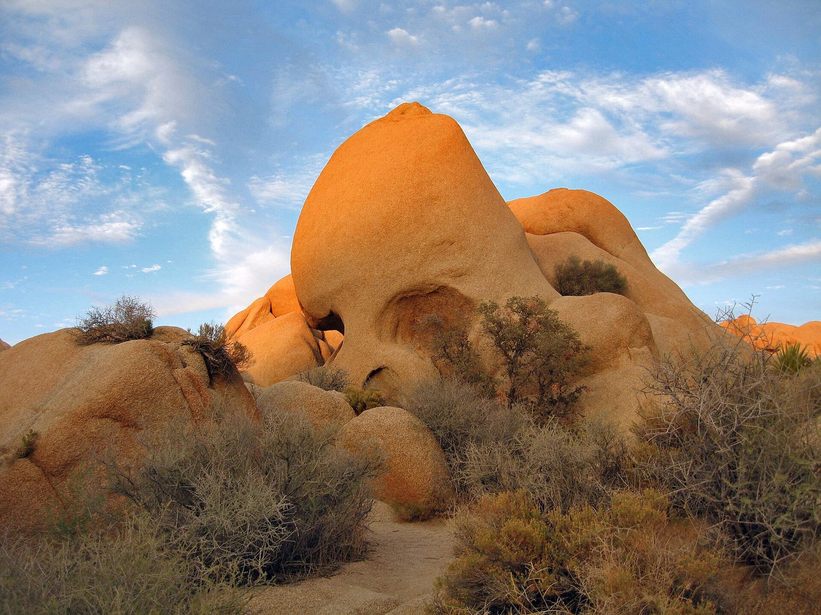
The park’s granite weathers into rounded piles with a rough, grippy surface, and climbing about on them is what many visitors, children above all, remember best. Skull Rock, a boulder with two hollow eye sockets, stands right beside the road. Behind it a nature trail winds through the rocks to Jumbo Rocks Campground and back, and you can leave it at any point to explore. Climb only what you can climb back down, and look before you put a hand on a ledge: rattlesnakes rest in the shade.
- Distance: a loop of 1.7 miles (2.7 km)
- Allow: 1 to 2 hours
- Start: Skull Rock, on Park Boulevard east of Jumbo Rocks Campground
- When: October to May. The rock is too hot to touch on summer afternoons.
- Suits: families
7. Find Arch Rock and Heart Rock
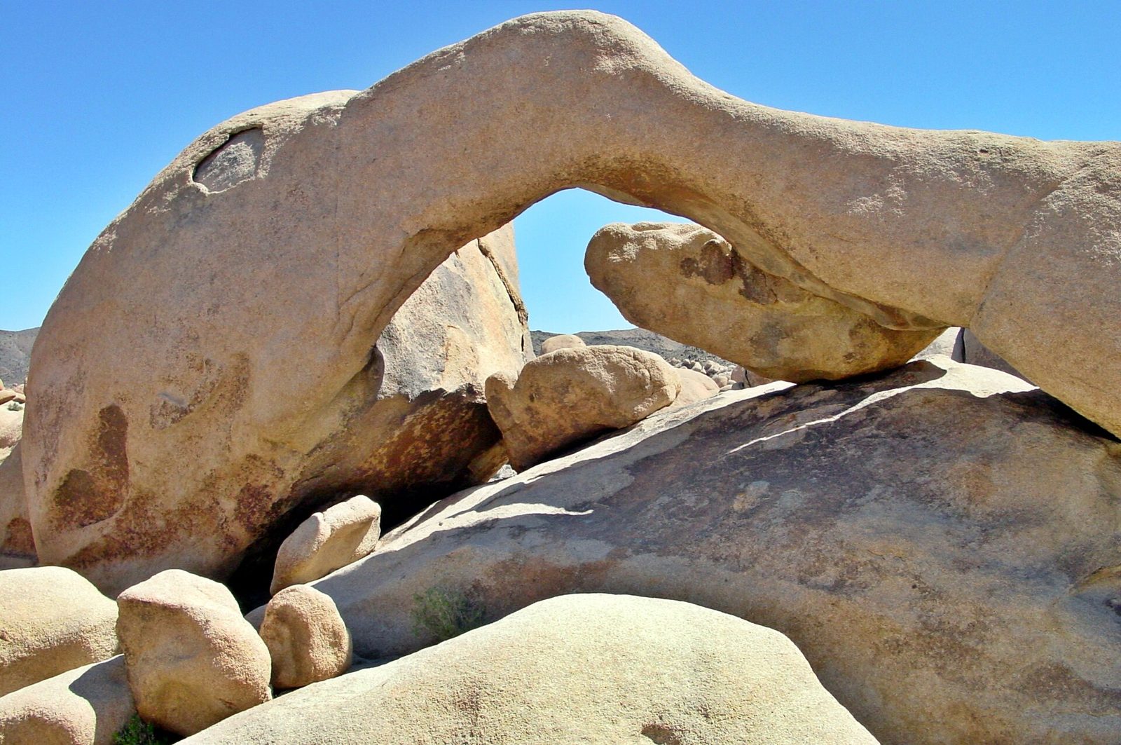
Arch Rock is a natural span of granite about 30 feet (9 m) across, in a garden of boulders near White Tank Campground. A sandy trail leads to it from a parking area on Pinto Basin Road, and a short side path, marked by a sign, goes on to Heart Rock, a boulder shaped like a valentine heart standing on its point. Both are favourites with photographers at sunrise and at night, and the scrambling around the arch is as good as at Skull Rock.
- Distance: a loop of about 1.3 miles (2.1 km)
- Allow: 1 hour
- Start: Twin Tanks parking area, on Pinto Basin Road south of the Park Boulevard junction
- When: October to May
- Suits: most walkers
8. Stay for the night sky
Joshua Tree is an International Dark Sky Park, and for millions of people in Southern California it is the nearest place to see the Milky Way. The western half of the park gets some glow from the cities. The darkest skies are in the east, along Pinto Basin Road, where the pullouts between the Cholla Cactus Garden and Cottonwood have almost no light on any horizon. The park is open all night. Pull fully off the road, use a red light, and bring more warm clothing than seems reasonable: the desert loses its heat fast after dark.
- Allow: an evening
- Start: any parking area or pullout on Pinto Basin Road
- When: all year, around the new moon. The Milky Way’s bright core is up in the evening from late spring to early fall.
- Suits: everyone
9. Hike to Fortynine Palms Oasis
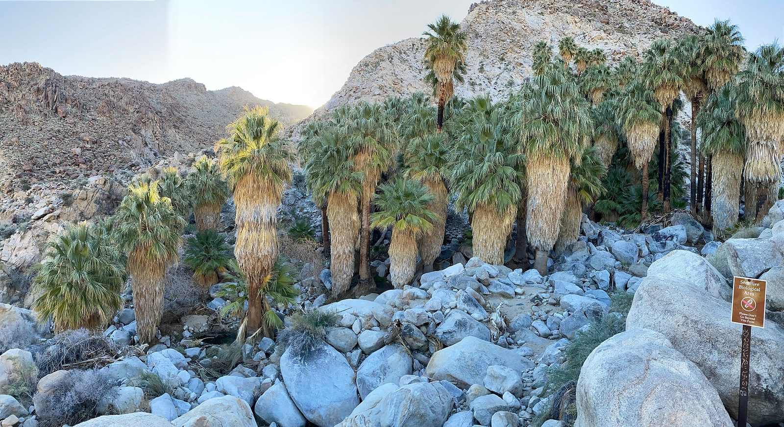
A fan palm oasis is a startling sight in this country: a cluster of tall, shaggy palms and pools of water in a rocky canyon, fed by a spring on a fault. The trail to this one climbs over a bare ridge covered in barrel cactus and drops into the canyon, so there is a climb in both directions and no shade until you arrive. Bighorn sheep depend on the water, and the Park Service usually closes the trail in the hottest months so that they can reach it undisturbed. Stay out of the pools.
- Distance: 3 miles (4.8 km) round trip
- Climb: 300 feet (90 m) each way
- Allow: 2 to 3 hours
- Start: the end of Canyon Road, off Highway 62 west of Twentynine Palms. The trailhead is outside the entrance stations.
- When: October to May
- Suits: steady walkers
10. Tour Keys Ranch
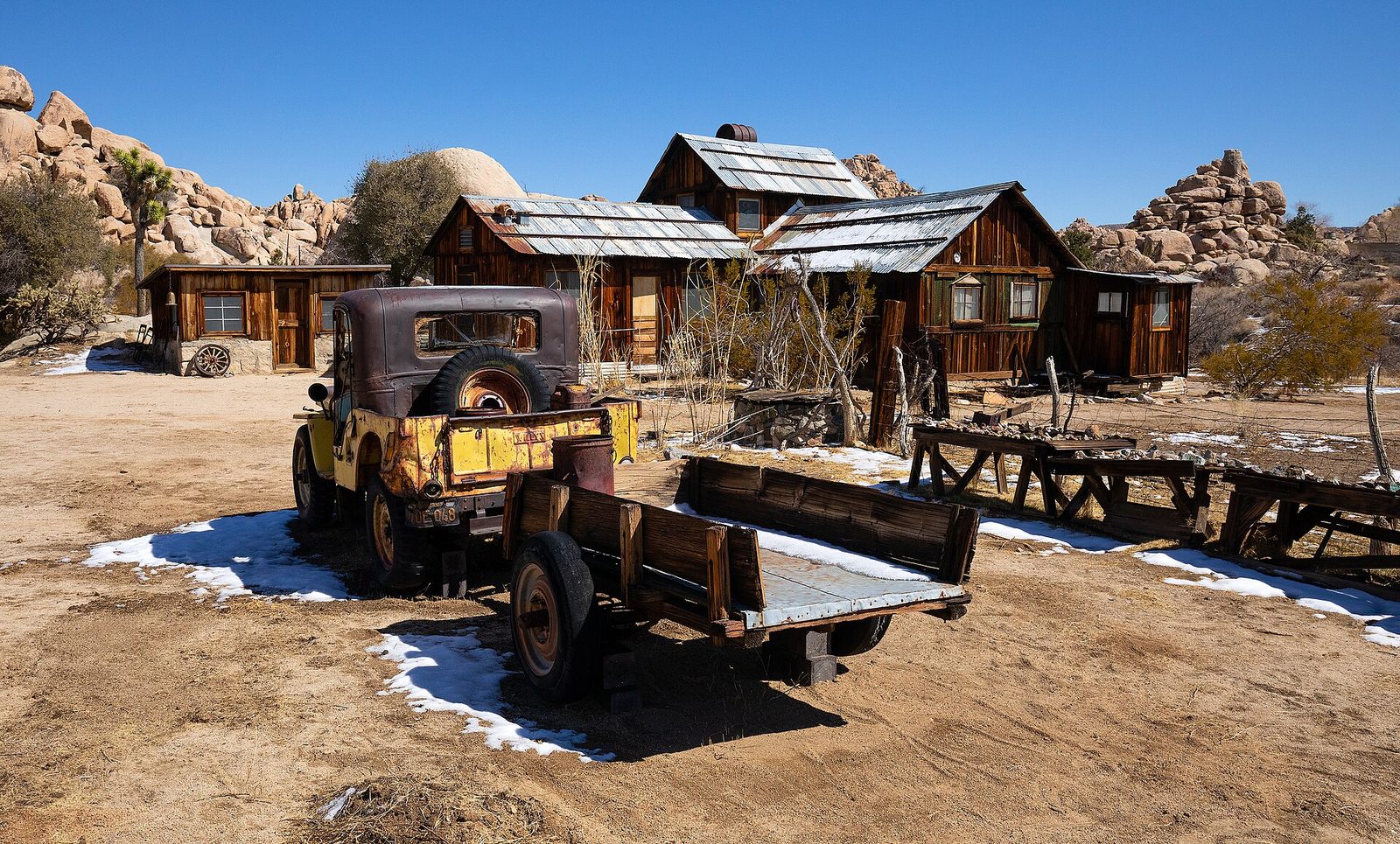
Bill and Frances Keys raised their children on this ranch in a rocky canyon, working it for more than 60 years from about 1910 as cattlemen, miners and whatever else the desert allowed. The house, the schoolhouse, the store, the orchard and a yard full of old trucks and mining machinery are still as the family left them. The ranch is closed to the public except on ranger-guided walking tours of about 90 minutes, and it is the best look the park gives at how people lived here.
- Distance: about half a mile (800 m) on foot
- Allow: 90 minutes
- Start: Keys Ranch gate, beyond Hidden Valley Campground
- When: tours run in the cooler months
- Needs: a tour ticket, reserved ahead
- Suits: everyone
11. Hike to the Lost Horse Mine
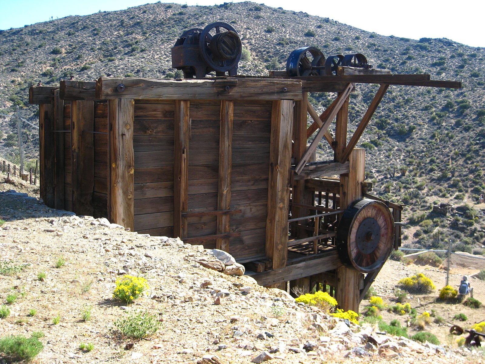
Of the hundreds of mines dug in these hills, the Lost Horse was one of the few that paid: it produced 10,000 ounces (311 kg) of gold and 16,000 ounces (498 kg) of silver between 1894 and 1931. The trail follows the old wagon road up through juniper and Joshua trees to the ten-stamp mill, which still stands on the hillside, fenced off, above the shafts. Stay out of any opening you find. Old mine workings collapse and hold bad air.
- Distance: 4 miles (6.4 km) round trip
- Climb: about 550 feet (170 m)
- Allow: 2 to 3 hours
- Start: Lost Horse Mine Trailhead, at the end of a dirt road off Keys View Road
- When: October to April
- Suits: most walkers
Before you go
This list covers what stays the same from year to year. Trail closures for heat and wildlife, tour schedules and campground rules change, and the National Park Service posts them on its own site. The link is on our Joshua Tree National Park guide, with the map, passes and how to get there.