

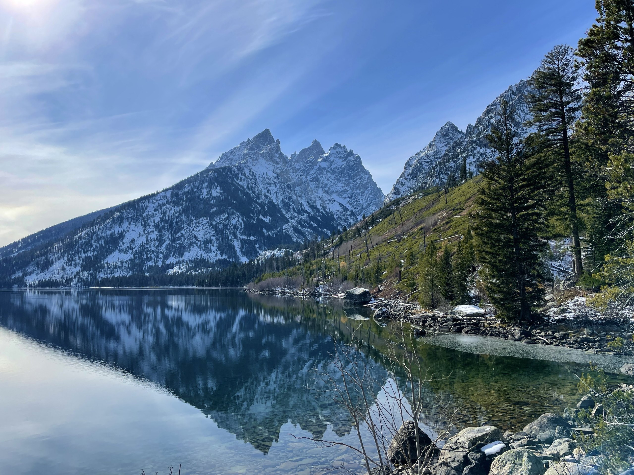
Top 11 things to do in Grand Teton National Park
The Teton Range rises more than 7,000 feet (2,100 m) straight from the floor of Jackson Hole with no foothills in front of it, so the mountains are in view from almost everywhere in Grand Teton National Park. The park is compact: a 42-mile (68 km) loop of two roads links nearly everything on this list. These are the eleven outings we would put first. The order starts with what the park is known for, then goes by what an outing gives back for the time and effort it takes. Distances and heights are National Park Service figures; times are our estimates and do not include stops.
Grizzly and black bears use the whole park, including the lakeshore trails. Carry bear spray where you can reach it, make noise, and stay 100 yards (91 m) from bears and wolves and 25 yards (23 m) from moose, bison and elk.
1. Cross Jenny Lake to Hidden Falls and Inspiration Point
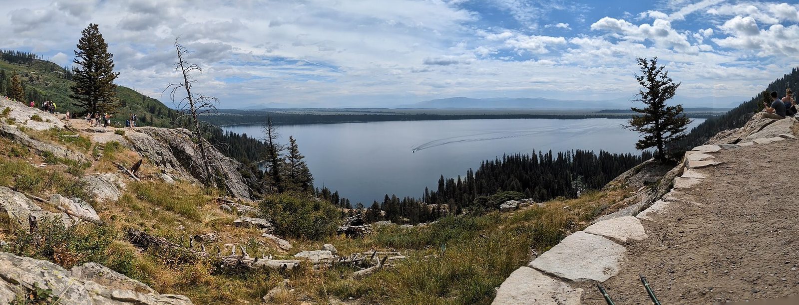
Jenny Lake lies at the foot of the highest peaks, at the mouth of Cascade Canyon, and the short hike on its far shore is the most popular in the park. A shuttle boat crosses the lake in about ten minutes. From the dock the trail climbs beside Cascade Creek to Hidden Falls, a 100-foot (30 m) cascade in the forest, then switchbacks up a rock ledge to Inspiration Point, looking back across the lake to the valley. If you would sooner walk, the trail around the south shore reaches the same places and is quieter.
The boat is run by a concessioner from about mid-May to late September and does not take reservations. Lines are long from mid-morning. Be at the dock before 9 a.m.
- Distance: 1.8 miles (2.9 km) round trip from the boat dock to Inspiration Point; walking around the lake to Hidden Falls instead is 4.8 miles (7.7 km) round trip
- Climb: about 550 feet (170 m)
- Allow: 2 to 3 hours with the boat; 4 hours on foot
- Start: South Jenny Lake, on the Teton Park Road
- When: June to September. Snow can stay on the trail into June.
- Suits: most walkers, including children. The last stretch is on a ledge with a drop.
2. Photograph the Moulton Barn on Mormon Row
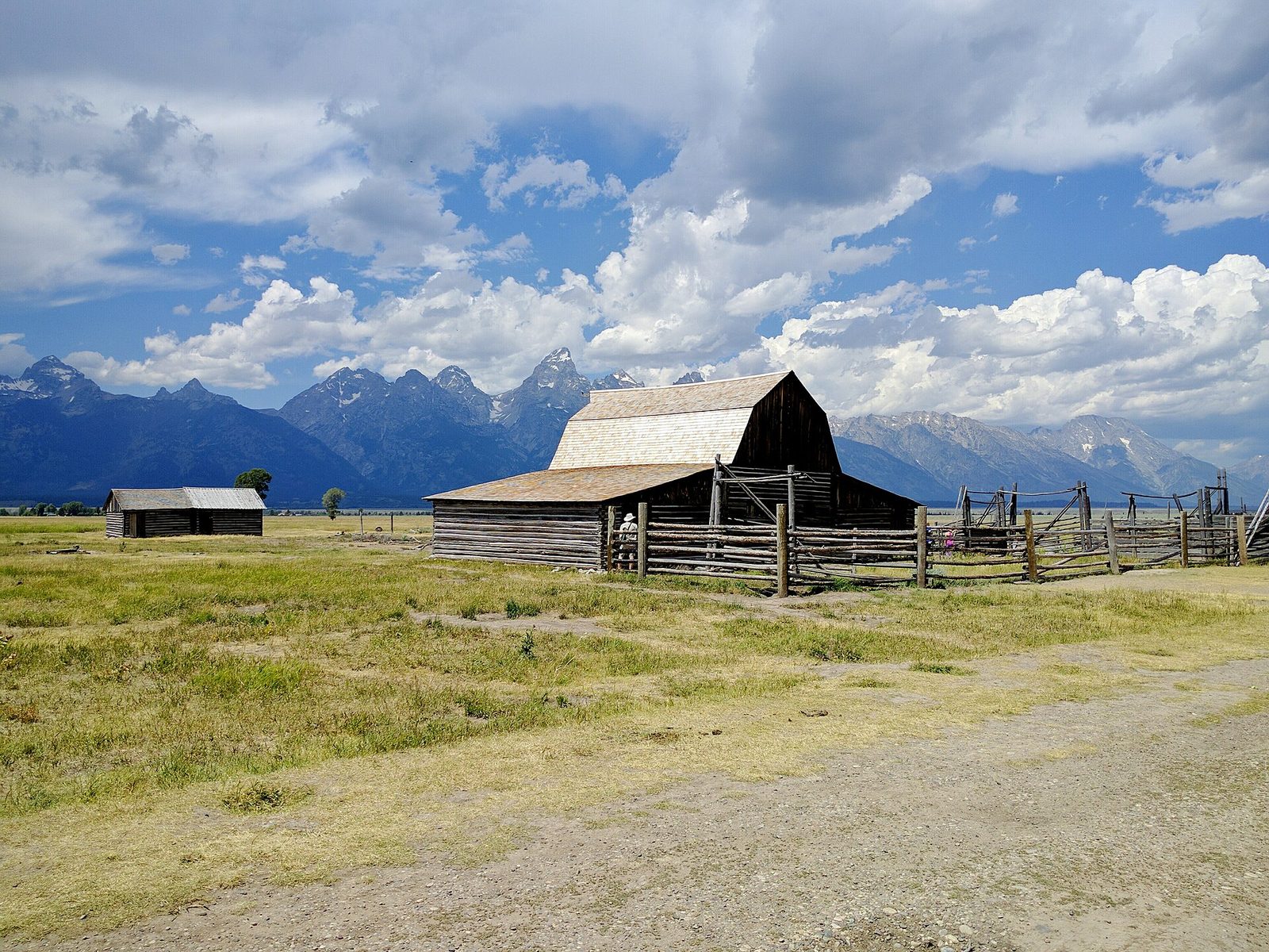
Mormon families homesteaded this part of the valley in the 1890s, and a line of their barns and houses still stands along a gravel road in the sagebrush. The T.A. Moulton Barn, with the whole range behind it, is one of the most photographed buildings in any national park. Come at sunrise, when the first light reaches the peaks and then the barn. Bison often graze the flats here, and pronghorn are common.
- Distance: at the roadside; a level walk of a few hundred yards between the buildings
- Allow: 45 minutes
- Start: Mormon Row, off Antelope Flats Road, north of Moose
- When: May to October. The road is not ploughed in winter.
- Suits: everyone
3. Be at Oxbow Bend at dawn
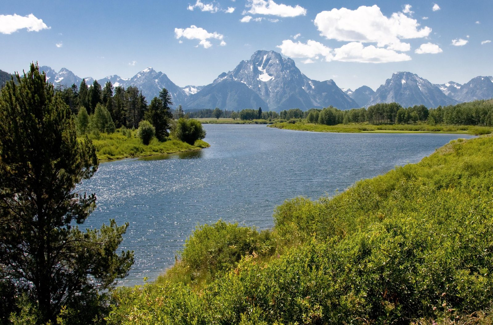
At Oxbow Bend the Snake River slows into a wide loop of still water below Mount Moran, and on a calm morning the mountain is doubled in it. This is also the best wildlife stop on the park road. Moose feed in the willows, river otters and beavers work the backwater, and white pelicans, herons, ospreys and bald eagles fish it. In late September the aspens on the far bank turn gold, and the pullout fills before sunrise.
- Distance: at the roadside
- Allow: 1 hour
- Start: Oxbow Bend Turnout, on US 89/191/287 a mile (1.6 km) east of Jackson Lake Junction
- When: May to October; dawn for reflections and animals, late September for colour
- Suits: everyone. Bring binoculars.
4. Watch sunrise at Schwabacher Landing
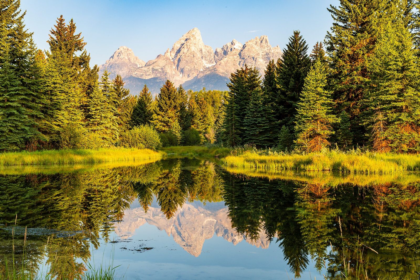
A gravel road drops from the highway to a side channel of the Snake River, where beaver dams hold a chain of still ponds. The Grand Teton and its neighbours reflect in them, framed by spruce and cottonwood, and a level path follows the bank for as far as you want to go. Beavers are active here at first and last light, and moose come to the water. Of the valley’s sunrise spots, this is the one that repays a slow walk afterwards.
- Distance: up to about 2 miles (3.2 km) round trip along the channel, level
- Allow: 1 to 1.5 hours
- Start: Schwabacher Landing Road, off US 26/89/191 north of Moose
- When: May to October
- Suits: everyone
5. Hike to Taggart Lake
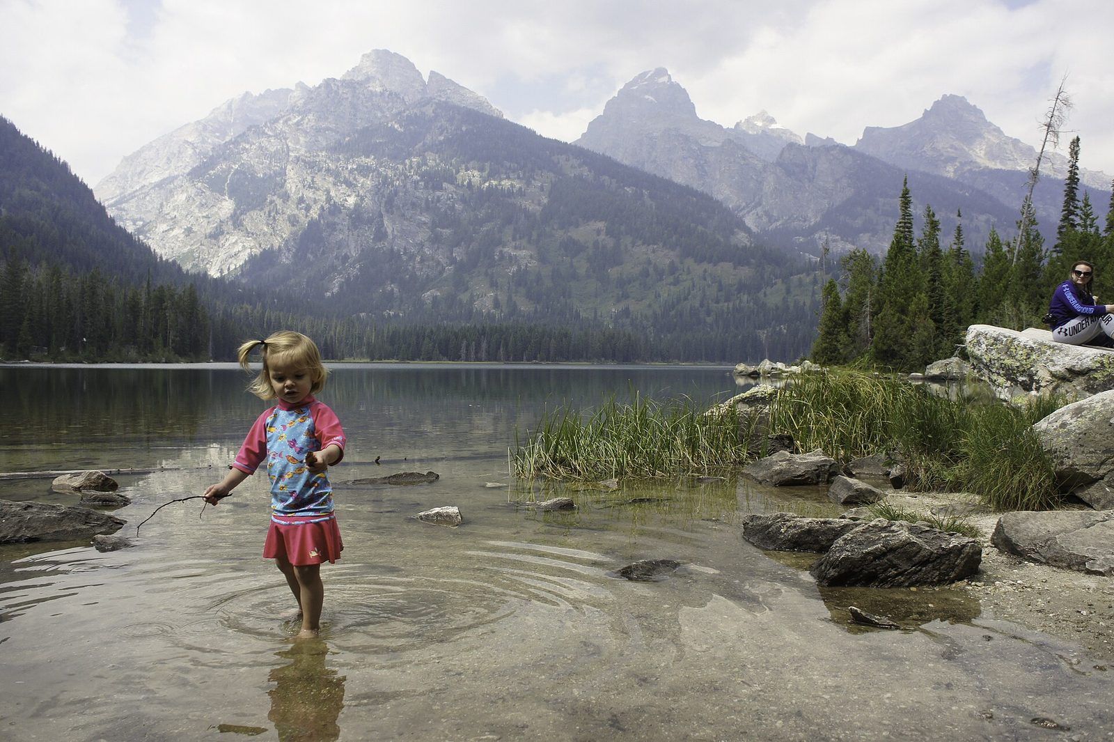
Taggart Lake gives the most for the least of any hike in the park. The trail crosses sagebrush and a tumbling creek, climbs gently over a moraine through aspen and young pine, and comes out on the shore of a clear lake directly under the Grand Teton. It is open to the sun for much of the way, with the peaks ahead of you the whole time. A slightly longer return by the Beaver Creek Trail makes it a loop.
- Distance: 3 miles (4.8 km) round trip
- Climb: 360 feet (110 m)
- Allow: 1.5 to 2 hours
- Start: Taggart Lake Trailhead, on the Teton Park Road north of Moose
- When: late May to October. In winter the road ends here, and the route is skied and snowshoed.
- Suits: families, and anyone with one morning in the park
6. Swim or paddle at String Lake
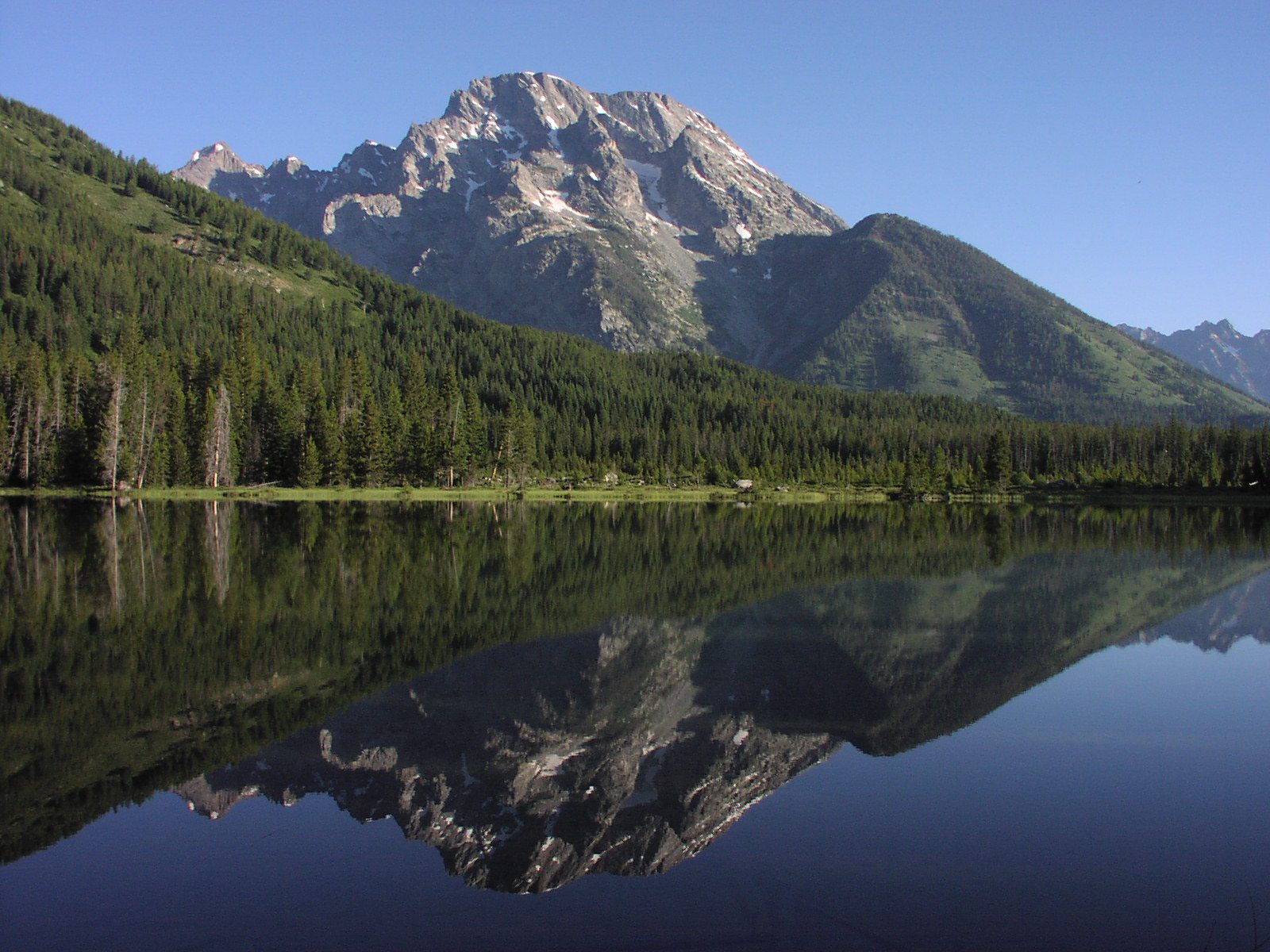
String Lake is a narrow, shallow lake between Jenny and Leigh lakes, and because it is shallow it warms enough by late July to swim in, which is rare here. The bottom is sand and gravel, the water is calm, and the picnic area on the east shore is the best place in the park to spend a hot afternoon with children. Canoes, kayaks and paddleboards launch from the shore, and a short carry at the north end leads to Leigh Lake, under Mount Moran. On foot, an easy level trail reaches Leigh Lake in a mile.
Every boat, including a paddleboard, needs a park boat permit and a Wyoming invasive-species decal. Food left on the beach has drawn bears here, so keep it within arm’s reach or locked away.
- Distance: a loop of 3.7 miles (6 km) around String Lake; 2 miles (3.2 km) round trip to Leigh Lake
- Allow: half a day
- Start: String Lake picnic area, off the Jenny Lake scenic drive
- When: July to early September for swimming
- Suits: families, beginner paddlers
7. Float the Snake River
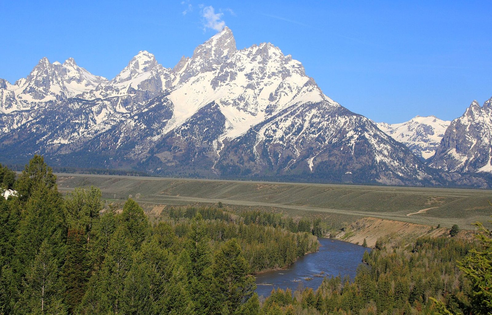
The Snake runs the length of the valley in braided channels, and a float trip down it is the park’s classic half-day on the water. The stretch through the park is fast but has no rapids to speak of. A guide rows a raft for about 10 miles (16 km) while you watch for bald eagles, ospreys, moose and beavers, with the range sliding past on the right. Several concessioners run trips from May to September, and dawn and evening floats see the most wildlife.
Before or after, stop at the Snake River Overlook, where Ansel Adams made his 1942 photograph of the river curving below the peaks. Paddling the river yourself takes real skill: the current is strong, the channels shift, and logjams and cold water make mistakes serious.
- Distance: about 10 miles (16 km) by raft
- Allow: 3 to 4 hours with the shuttle
- Start: outfitters meet in Moose or Jackson; the overlook is on US 26/89/191 north of Moose
- When: mid-May to September
- Suits: almost everyone on a guided float, including children old enough for the operator’s rules
8. Walk into Cascade Canyon
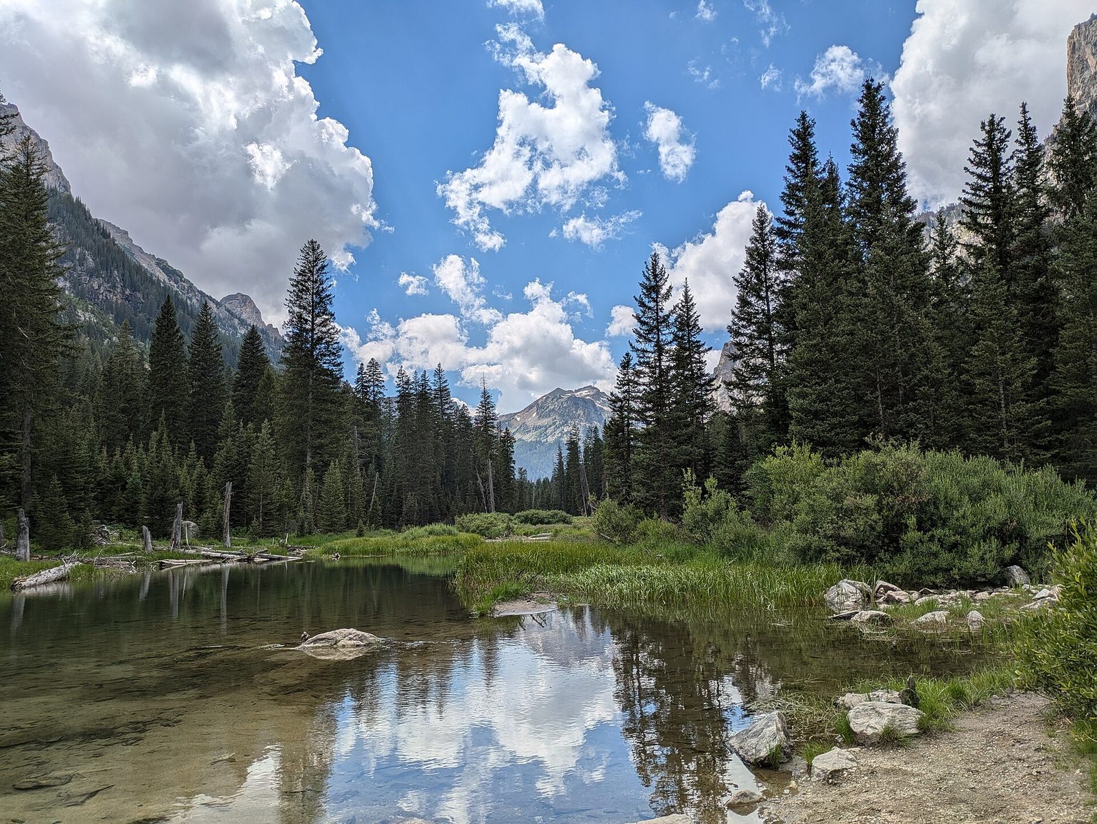
Most people turn around at Inspiration Point. Keep going, and within a few minutes the crowd is gone and the trail levels out into a glacier-cut canyon with the north faces of the Grand Teton, Mount Owen and Teewinot directly above. The path follows Cascade Creek through meadows and boulder fields, climbing gently. Moose are often seen in the willows, and pikas call from the rocks. Go as far as you have time for.
- Distance: up to 13.6 miles (21.9 km) round trip from the trailhead to the forks of the canyon; the boat saves about 4 miles (6.4 km)
- Climb: about 1,100 feet (340 m) to the forks
- Allow: 5 to 7 hours with the boat
- Start: South Jenny Lake
- When: July to September
- Suits: steady walkers; the hard climbing is over at Inspiration Point
9. Drive up Signal Mountain
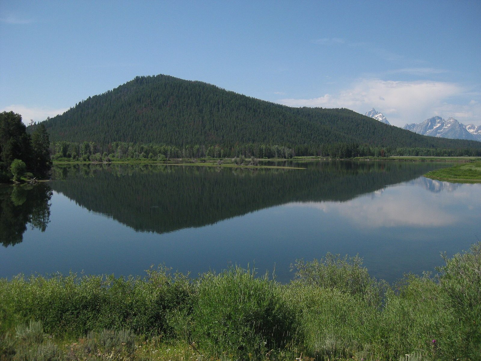
Signal Mountain stands alone on the east side of Jackson Lake, far enough from the Tetons to show the whole range at once. A narrow paved road climbs about 1,000 feet (300 m) through forest to two viewpoints. Jackson Point, near the top, faces the range and the lake. The summit looks the other way, over the Snake River’s channels and the flat floor of Jackson Hole, and shows how abruptly the mountains begin. Go in the evening, when elk and deer are out on the lower slopes.
- Distance: 5 miles (8 km) each way by road
- Allow: 1 hour
- Start: Signal Mountain Road, off the Teton Park Road south of Signal Mountain Lodge
- When: about May to October. Trailers and large RVs are not allowed.
- Suits: everyone
10. Look over Phelps Lake
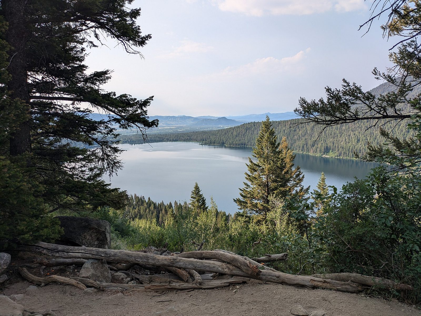
The south end of the park is quieter than Jenny Lake, and this short climb shows why it is worth the drive. From the Death Canyon Trailhead the trail rises through fir and aspen to a moraine crest high above Phelps Lake, with the mouth of Death Canyon to the right. Many hikers continue down to the lake, where a large boulder on the north shore has become a well-known jumping rock. The road to the trailhead is rough, and its last mile needs a vehicle with clearance.
- Distance: 2 miles (3.2 km) round trip
- Climb: about 470 feet (143 m)
- Allow: 1 to 1.5 hours
- Start: Death Canyon Trailhead, off the Moose-Wilson Road
- When: June to October
- Suits: most walkers
11. Climb to Delta Lake
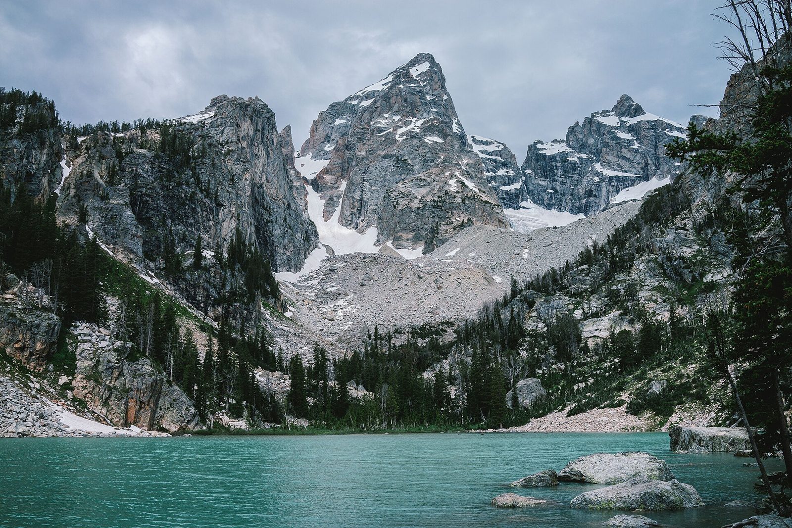
Delta Lake is a small, milky turquoise lake fed by the Teton Glacier, set directly under the Grand Teton’s north face. It has become one of the park’s most sought-after hikes, and it is not an official trail. The route follows the maintained path toward Amphitheater Lake for about 3 miles (4.8 km), then leaves it for a steep climber’s track up loose dirt and across two boulder fields. There are no signs, and rescues from this stretch are common.
Go only if you are at ease on steep, loose ground and can find a route by map. Start early, and expect snow on the boulders into July.
- Distance: 7.4 miles (11.9 km) round trip
- Climb: about 2,300 feet (700 m)
- Allow: 5 to 7 hours
- Start: Lupine Meadows Trailhead, south of Jenny Lake
- When: July to September
- Suits: fit, experienced hikers
Before you go
This list covers what stays the same from year to year. Road opening dates, boat schedules, bear closures and trail conditions change, and the National Park Service posts them on its own site. The link is on our Grand Teton National Park guide, with the map, permits and how to get there.