

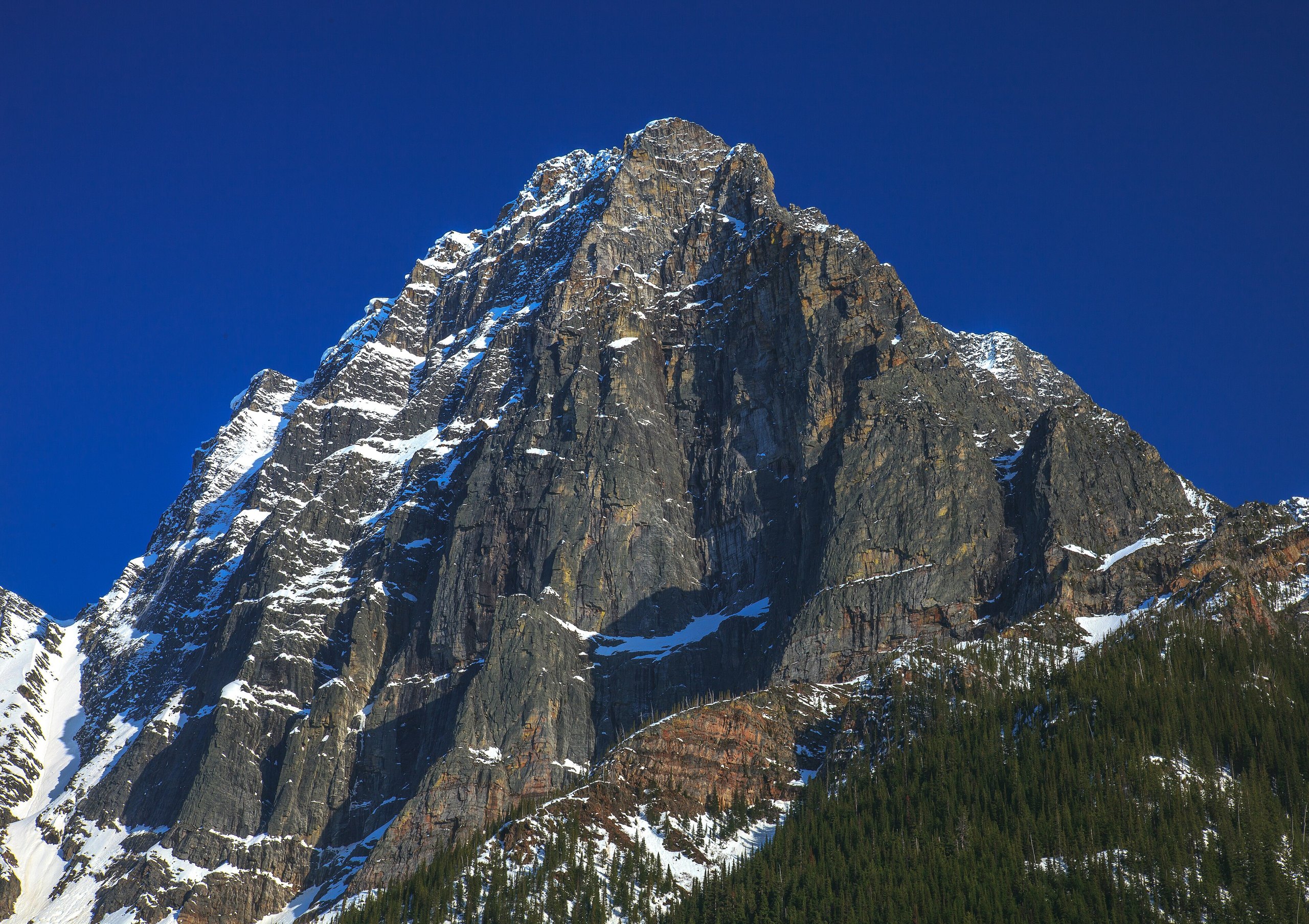
Top 10 things to do in Glacier National Park (Canada)
Glacier National Park sits astride Rogers Pass in the Selkirk Mountains of British Columbia, between Revelstoke and Golden: steep, narrow valleys of old cedar and hemlock rainforest, with avalanche slopes, alpine meadows and more than 130 glaciers above them. It gets some of the heaviest snowfall in Canada, and the story of the place is the struggle to push a railway and then a highway through it. Most people see it through a windshield on the Trans-Canada Highway. These are the ten outings we would put first. The order starts with what the park is known for, then goes by what an outing gives back for the time and effort it takes. Distances, climbs and times for the trails are Parks Canada’s figures, round trip from the Illecillewaet Valley trailhead unless noted; from the Illecillewaet Campground, take 1.2 miles (2 km) off each.
This is grizzly and black bear country: carry bear spray, make noise on the trail and keep food out of reach. Snow lingers on the high trails into July, and weather changes fast at any time of year. Parks Canada removes the seasonal creek bridges from late September.
1. Stop at the summit of Rogers Pass
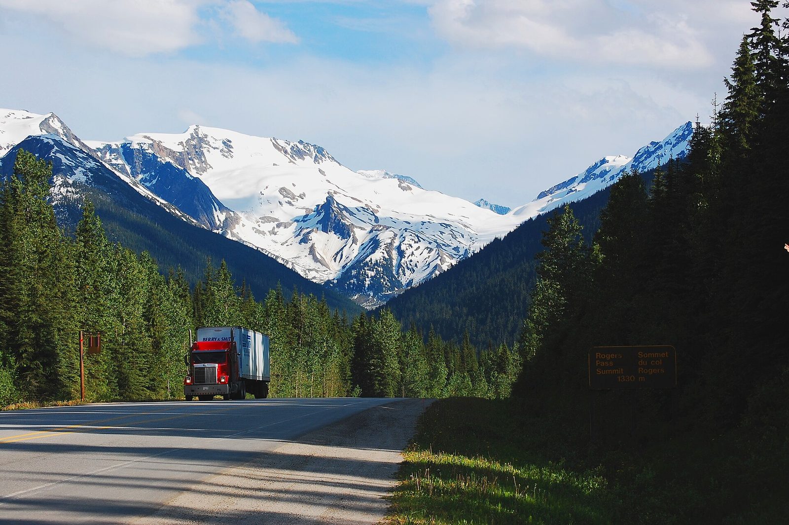
Major A. B. Rogers found this pass in 1881, and the Canadian Pacific Railway was pushed over it by 1885 to tie British Columbia to the rest of the country. The avalanches here proved deadlier than the mountains. In 1910 one buried a crew clearing the line and killed 58 men, and the railway soon dug the Connaught Tunnel under the pass instead. When the Trans-Canada Highway came through in 1962, it needed snowsheds and the world’s largest mobile avalanche control program, in which soldiers fire artillery at the slopes to bring the snow down safely. At the summit, an arch marks the highway’s completion, with interpretive signs and views of the peaks all around.
- Allow: 30 minutes to 1 hour
- Start: the Rogers Pass summit, on the Trans-Canada Highway
- When: all year; the highway closes for avalanche control at times in winter
- Suits: everyone
2. Hike the Great Glacier Trail
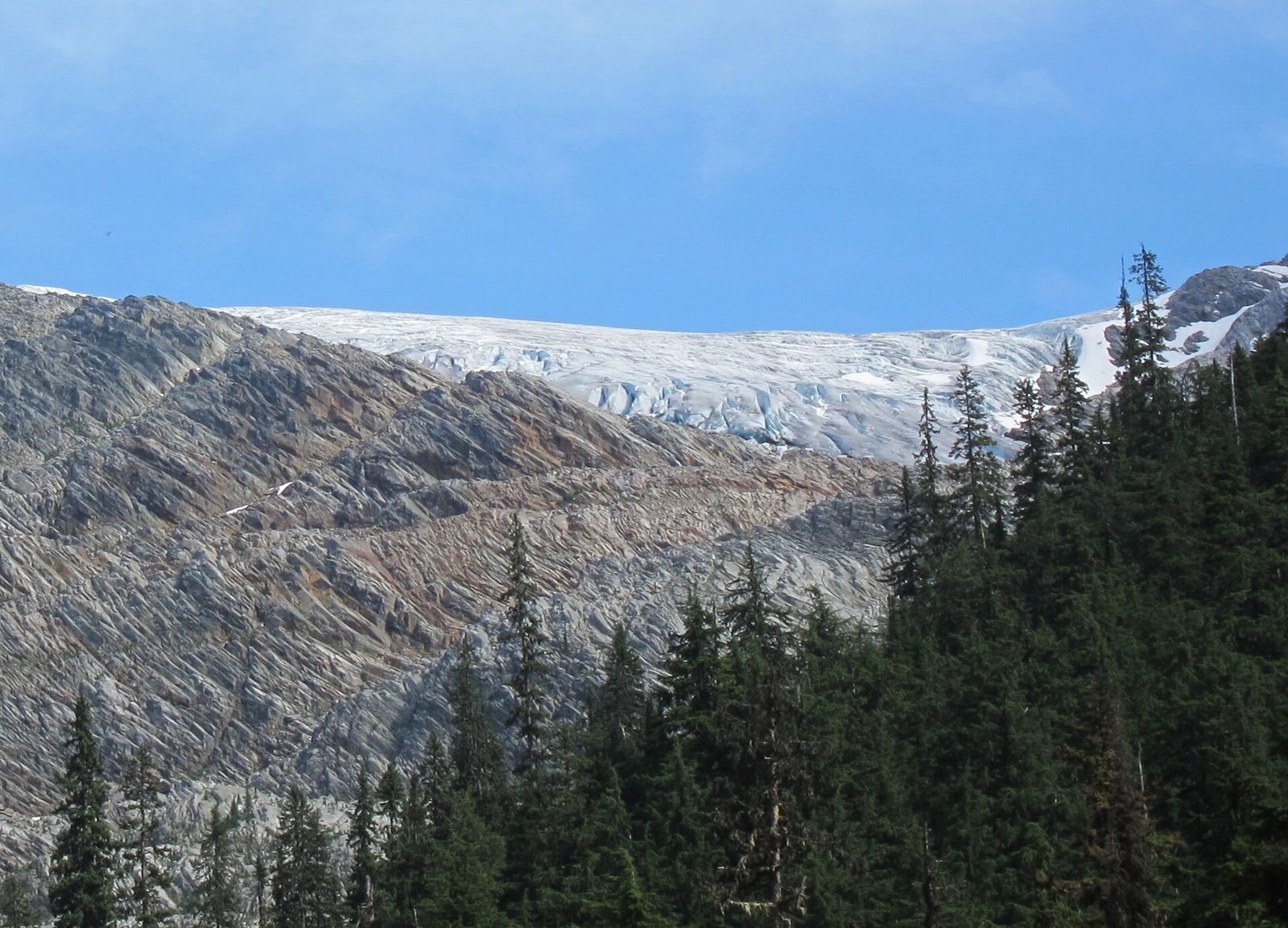
The Illecillewaet Glacier was the first great attraction of the Canadian mountains. Guests at the railway’s hotel walked up to touch it, and the Vaux family of Philadelphia photographed and measured it from 1887, making it one of the first glaciers in North America whose retreat was recorded. The trail follows the roaring Illecillewaet River up the valley, then climbs the rock the ice has left behind, with the glacier and its waterfalls ahead.
- Distance: 5.2 miles (8.4 km) round trip
- Climb: 1,050 feet (320 m)
- Allow: 2.5 hours
- Start: Illecillewaet Valley trailhead, or the Illecillewaet Campground, just west of the summit
- When: July to September
- Suits: most walkers
3. Climb to Avalanche Crest
This is the classic steep day hike at Rogers Pass. The trail climbs straight up through old forest, crosses avalanche slopes thick with flowers in summer, and comes out on a high crest with a view down the whole length of the pass, the highway and railway tiny in the valley floor, and the Illecillewaet Glacier and Mount Sir Donald across from it. You earn the view: the climb is relentless.
- Distance: 6.3 miles (10.2 km) round trip
- Climb: 2,610 feet (795 m)
- Allow: 5 hours
- Start: Illecillewaet Valley trailhead, or the Illecillewaet Campground
- When: mid-July to September, once the snow has gone
- Suits: fit hikers
4. Walk up the Asulkan Valley
The Asulkan Valley leads south from the Illecillewaet area, gently at first beside Asulkan Brook through forest and avalanche meadows, then steeply up the moraine at its head to the edge of the Asulkan Glacier. At the end the valley is ringed by ice and peaks, with waterfalls pouring off the cliffs. It is a long day, but much of it is easy walking, and you can turn back at any point and still have seen the best of the valley floor.
- Distance: 9.8 miles (15.8 km) round trip
- Climb: 2,850 feet (870 m)
- Allow: 6 hours
- Start: Illecillewaet Valley trailhead, or the Illecillewaet Campground
- When: July to September; the seasonal bridges come out in late September
- Suits: fit hikers
5. Find the ruins of Glacier House
The Canadian Pacific Railway opened Glacier House in 1886 as a dining stop, so trains would not have to haul heavy dining cars over the pass. It grew into a mountain hotel of about 90 rooms, the birthplace of mountaineering in Canada, with Swiss guides brought over to lead guests up the peaks. When the railway moved into the Connaught Tunnel in 1916, the trains stopped coming, and the hotel closed in 1925. Its stone foundations lie in the woods by the Illecillewaet Campground, with signs telling its story.
- Allow: 30 minutes
- Start: Illecillewaet Campground, just west of the summit
- When: June to September
- Suits: everyone
6. Walk the Hemlock Grove Boardwalk
West of the pass, in the deep, wet valley of the Illecillewaet River, a short boardwalk loops through a grove of western hemlock and red cedar that has stood for centuries. It is a piece of the inland rainforest, a rare forest found in the wet interior mountains of British Columbia, hung with moss and lichen, with skunk cabbage and devil’s club below. The boardwalk is level and suits wheelchairs.
- Distance: about a quarter mile (350 m) loop
- Allow: 15 to 20 minutes
- Start: Hemlock Grove Day Use Area, on the Trans-Canada Highway west of the summit
- When: May to October
- Suits: everyone
7. See Bear Creek Falls
A short, steep trail drops from the highway into a narrow gorge where Bear Creek pours over a cliff into a deep pool, throwing spray over the mossy rocks around it. It is the easiest waterfall to reach in the park and a good place to stretch your legs on the drive across.
- Distance: about 0.8 miles (1.3 km) round trip
- Allow: 30 minutes
- Start: a pull-off on the Trans-Canada Highway east of the summit
- When: May to October; the falls are fullest in early summer
- Suits: most walkers; the path is steep and slick when wet
8. Climb to Marion Lake and Abbott Ridge
From the Illecillewaet area, a trail climbs in long switchbacks to Marion Lake, a small lake in the forest with a view of the valley. Many people stop there. Those with more in their legs carry on above the trees to Abbott Ridge, a long alpine ridge with one of the finest views in the park: the Illecillewaet Glacier and Mount Sir Donald straight across the valley, and the peaks of the Selkirks all around.
- Distance: 4 miles (6.4 km) round trip to Marion Lake; 9.7 miles (15.6 km) round trip to Abbott Ridge
- Climb: 1,390 feet (425 m) to Marion Lake; 3,380 feet (1,030 m) to Abbott Ridge
- Allow: 2.5 hours for Marion Lake; 6.5 hours for Abbott Ridge
- Start: Illecillewaet Valley trailhead, or the Illecillewaet Campground
- When: July to September for Marion Lake; mid-July on for the ridge
- Suits: steady walkers for the lake; fit hikers for the ridge
9. Hike up the Hermit Trail
The Hermit Trail is short and brutally steep, climbing straight up the north side of the pass to a hanging valley of alpine meadows and small tarns, with a backcountry campground among the rocks. The reward is a wall of glaciers and peaks across the pass, Mount Sir Donald among them. It is named for a rock pinnacle on the ridge that looks like a hermit and his dog.
- Distance: 4 miles (6.4 km) round trip
- Climb: 2,690 feet (820 m)
- Allow: 4 hours
- Start: Hermit trailhead, on the Trans-Canada Highway about 1 mile (1.5 km) east of the summit
- When: mid-July to September; a backcountry permit is needed to camp
- Suits: fit hikers who do not mind steep ground
10. Ski tour Rogers Pass in winter, if you have the training
With deep, dry snow, steep tree runs and glaciers, Rogers Pass is one of the most famous ski-touring areas in North America. It is also serious avalanche terrain, and the park manages it closely: a winter permit is needed, and many slopes are closed on any given day because of artillery fire or avalanche risk. It is for experienced backcountry skiers with avalanche training, rescue gear and a partner, or for those going with a certified guide.
- Allow: a day or more
- Start: the parking areas near the summit, as allowed by the day’s permit status
- When: December to April
- Suits: trained backcountry skiers only
Before you go
This list covers what stays the same from year to year. Trail closures, bear warnings, avalanche conditions and the winter permit areas change, and Parks Canada posts them on its own site. The link is on our Glacier National Park guide, with the map and how to get there.