

Cheaha State Park
Fast facts
- Established: 1933, Alabama’s oldest state park
- Size: 2,799 acres (11 km²), surrounded by the Talladega National Forest
- Highest point: Cheaha Mountain, 2,407 feet (734 m), the highest point in Alabama
- Trail link: the Pinhoti Trail and the 7,245-acre (2,932 ha) Cheaha Wilderness
- Gateway: Anniston and Oxford
- Managed by: Alabama State Parks
The landscape
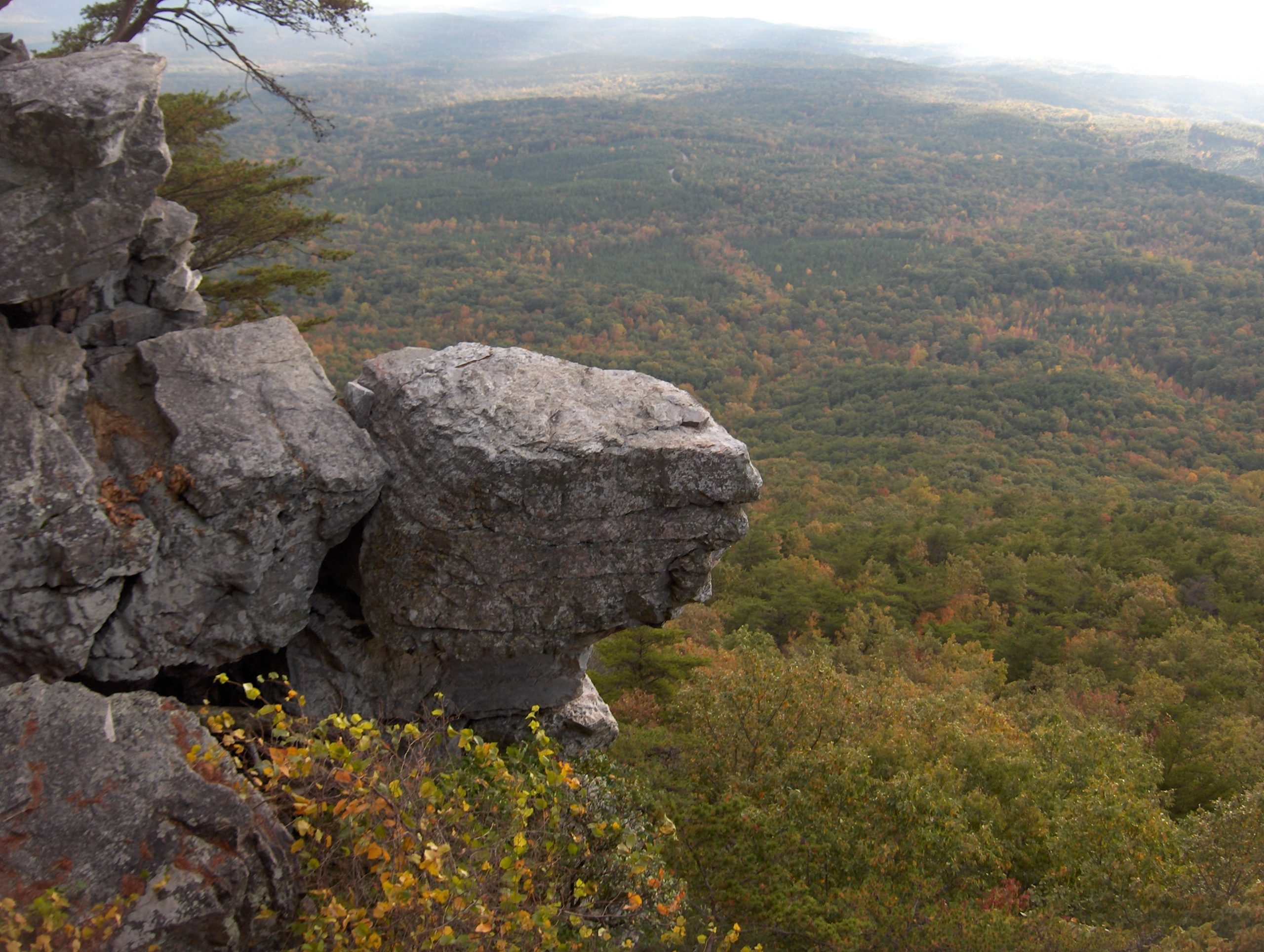
Cheaha sits on the southernmost tip of the Appalachian Mountains, a ridge of granite boulders and wind-bent trees often above the clouds. Around it spreads the Talladega National Forest, including the Cheaha Wilderness. Views stretch across the ridges and valleys of east Alabama. Deer, wild turkeys and many birds live here.
Best time to go
Spring brings mountain laurel and wildflowers. Fall colour peaks in early November. Winter is mild with occasional ice. Summer is hot and humid, with frequent storms.
Getting there and around
The Talladega Scenic Drive leads to the park from Interstate 20. Roads reach the summit, the lodge area, campgrounds and trailheads. Trails lead off the mountain into the national forest and wilderness.
Things to do
Short trails lead to the summit observation tower and Bald Rock boardwalk. The Pulpit Rock and Rock Garden trails offer views and scrambling, and the Pinhoti Trail runs through the area for backpackers on longer trips. Climbers use the park’s cliffs, and primitive camping is available near the summit.
Staying safe
Trails off the summit are steep and rocky. Get off exposed rock when storms approach. Carry water in the summer heat and watch for venomous snakes. The park closes at sunset, so plan day hikes accordingly, and leave a trip plan for longer trips into the forest.
Know before you go
This page is a general overview, not a live conditions report, so confirm current conditions and reservations with Alabama State Parks before you go.
- Coordinates
- 33.4929, -85.8132
- Magnetic declination
- 4.7° W (2026)
Set this declination on your compass, then align it to the map's north lines; it is the angle between true north and magnetic north, refreshed each year.
How declination works, and how to navigate with a map and compass
A spread of the park’s main places shows straight away, and the rest appear as you zoom in. You can also search above, or pick any place from the lists below, and the map will go to it. Places in bold, marked , have a short description.
Getting there 2
Park entrances
On the trail 5
Trailhead
Campgrounds
Sights 10
Viewpoints
Lakes
Heritage site
Island
Peaks
Map data comes from third-party sources and may be incomplete or out of date, so carry a current official map (terms).
Looking for one of these closer to home?Destinations near me by trip type →
- Best seasons
- Spring, Fall (foliage), Winter
- Difficulty
- Easy to strenuous
- Access / trailheads
- Off Highway 281 (the Talladega Scenic Drive), south of Interstate 20 between Birmingham and Atlanta.
- Water
- Water at developed areas; treat stream water in the backcountry.
- Cell / satellite coverage
- Fair on the summit, patchy in the surrounding wilderness.
- Nearest ranger / SAR / emergency
- Emergencies: 911. Park information: 256-488-5111.
- Permits & regulations
- An admission fee applies; admission stops 30 minutes before sunset and day-use areas close at sunset. Campsites and cabins are reserved through the park.
- Leave No Trace
- Camp in designated sites or follow Talladega National Forest rules beyond the park, and pack out all waste.
January
February
March
April
May
June
July
- Hot days
August
- Hot days
September
October This month
November
December
What to bring depends on your trip: how long you’re out, where you sleep, and how far you go from the road. The planner builds the list for yours.
Plan a trip here →Averages for 1991–2020 from NOAA U.S. Climate Normals, measured at the Anniston Metro Airport station, 7 miles (11 km)11 km (7 miles) away at 597 feet (182 m)182 m (597 feet). Higher trails run colder, by about 3.5°F for every 1,000 ft (2°C per 300 m)2°C for every 300 m (3.5°F per 1,000 ft) of climb. Daylight runs from sunrise to sunset on the 15th, on the park’s own clock, for a level horizon. Valleys and slopes facing away from the sun are in shade earlier.
Nearby parks
-
 Cloudland Canyon State Park
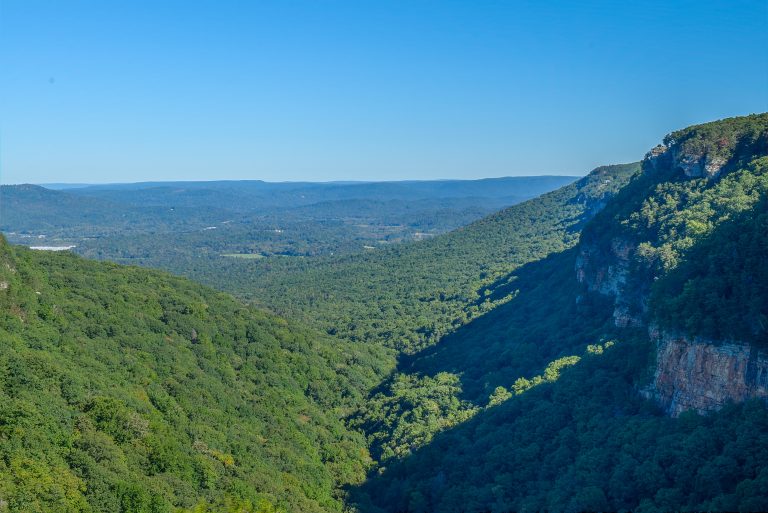
A canyon more than 1,000 feet (300 m) deep cut into Lookout Mountain, with rim overlooks, two waterfalls at the bottom of 600 stairs, and backcountry campsites.
-
 Fort Mountain State Park
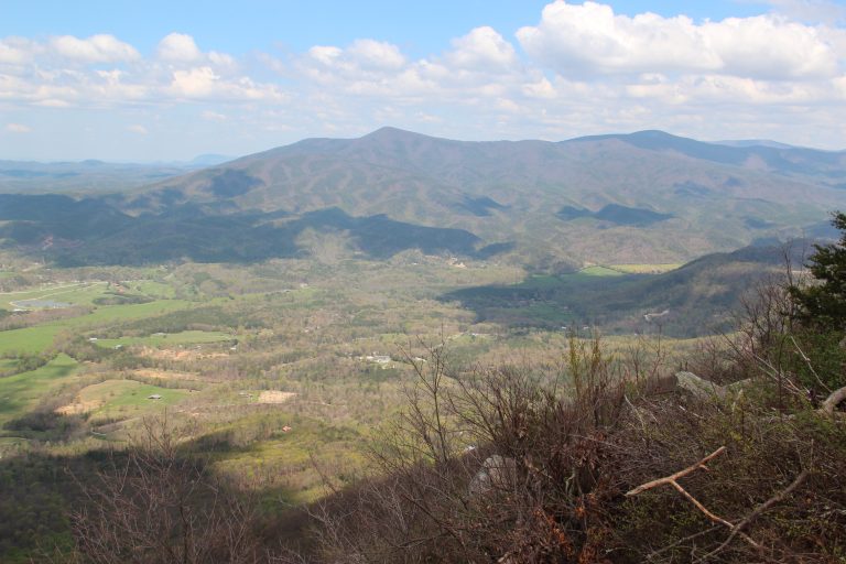
A mysterious 855-foot (261 m) stone wall, a CCC fire tower and 60 miles (97 km) of trail by the Cohutta Wilderness.
-
 Amicalola Falls State Park
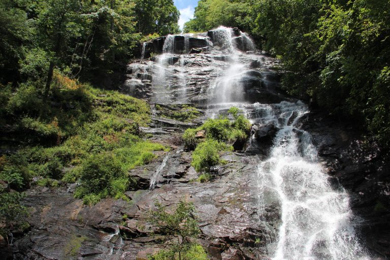
Georgia's tallest waterfall and the start of the Approach Trail to Springer Mountain, where the Appalachian Trail begins.
-
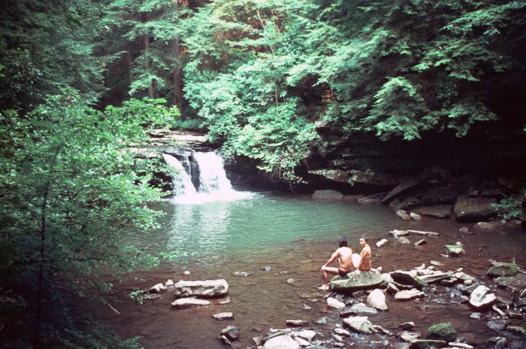 Fiery Gizzard State Park
One of the Southeast's classic hikes: a rugged gorge of boulders, pools and waterfalls on the Cumberland Plateau.
Straight-line distance between park centres. Road distance is usually longer.
Looking for somewhere closer to home?
See every park and monument within a day’s drive of where you are.