

Congaree National Park
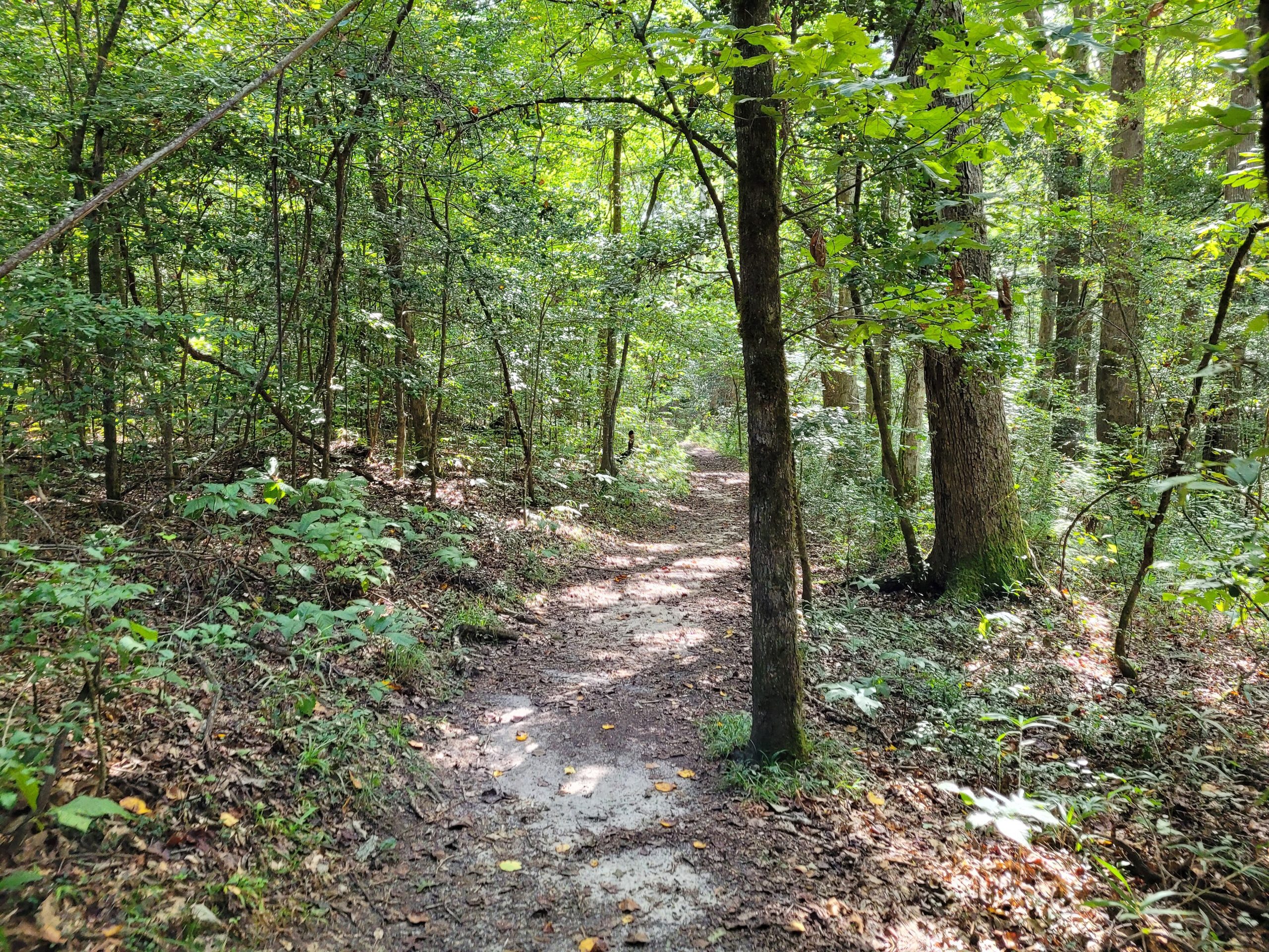
Congaree protects the largest intact stretch of old-growth bottomland hardwood forest left in the United States, a towering, cathedral-like floodplain forest of champion trees along the Congaree River in South Carolina. Fed by the river’s frequent floods, it is a lush, humid wilderness of soaring trunks and quiet water, best explored on a boardwalk stroll or a paddle beneath the canopy.
Fast facts
- Established: national monument 1976; national park in 2003
- Size: about 26,300 acres (106 km²) of floodplain forest
- Trees: some of the tallest hardwoods in eastern North America, several national champions
- Recognition: an International Biosphere Reserve and Important Bird Area
- Gateway: Columbia, South Carolina
- Managed by: National Park Service
The landscape
The park is a floodplain, not a swamp, the Congaree and Wateree rivers periodically spill across it, dropping nutrients that feed one of the tallest deciduous forests on Earth. Bald cypress with their knees, loblolly pines, oaks and sweetgums tower overhead, sloughs and oxbow lakes thread the forest floor, and the whole teems with birds, otters, deer, bobcats and, yes, snakes and alligators at the edges.
Best time to go
Fall through spring is the most comfortable time, avoiding the worst summer heat, humidity and mosquitoes, and the park’s famous synchronous fireflies draw crowds for a couple of weeks in late spring. Flooding can occur any time of year and is part of the ecosystem, so check conditions, as high water closes trails and the canoe route.
Getting there and around
The park lies southeast of Columbia off SC-48, with the visitor center and the elevated boardwalk loop as the main access point. A vehicle gets you there; from the boardwalk, hiking trails and the Cedar Creek canoe trail lead deeper into the forest for those wanting more.
Things to do
Walk the accessible boardwalk loop through the heart of the old growth, paddle the Cedar Creek canoe trail beneath the canopy, and hike longer forest trails for solitude. Ranger programs, birding, and, in season, the synchronous firefly display are highlights, all in a rare, towering forest.
Staying safe
Flooding is the defining variable, so always check whether the floodplain is inundated before you hike or paddle, and never underestimate rising water. Mosquitoes can be intense in the warm months, venomous snakes are present, and the flat, featureless backcountry makes it easy to lose your way. Carry a map, compass or GPS and plenty of water.
Know before you go
There is no entrance fee, but backcountry camping needs a free permit, and trails or the canoe trail may close with high water. This page is a general overview, not a live conditions report; always confirm current flood levels, conditions and closures with the National Park Service before your trip.
- Coordinates
- 33.7940, -80.7351
- Magnetic declination
- 7.9° W (2026)
Set this declination on your compass, then align it to the map's north lines; it is the angle between true north and magnetic north, refreshed each year.
A spread of the park’s main places shows straight away, and the rest appear as you zoom in. You can also search above, or pick any place from the lists below, and the map will go to it.
On the trail 2
Campgrounds
Sights 6
Viewpoint
Island
Peaks
Map data comes from third-party sources and may be incomplete or out of date, so carry a current official map (terms).
- Best seasons
- Fall, Winter, Spring
- Difficulty
- Easy to moderate
- Access / trailheads
- In central South Carolina southeast of Columbia, off SC-48; the Harry Hampton Visitor Center and boardwalk are the main access. Nearest hub is Columbia.
- Water
- Carry all drinking water; floodplain water is not a safe source.
- Cell / satellite coverage
- Patchy cell service. Carry a map and a compass or GPS.
- Nearest ranger / SAR / emergency
- Contact park rangers; life-threatening emergencies: 911.
- Permits & regulations
- No entrance fee; backcountry camping requires a free permit. Trails and the canoe trail can close when the floodplain is inundated.
- Leave No Trace
- Stay on the boardwalk and marked routes, pack out all waste, respect the fragile floodplain, and follow Leave No Trace.
January
February
March
April
May
June
July
- Hot days
August
- Hot days
September This month
October
November
December
What to bring depends on your trip: how long you’re out, where you sleep, and how far you go from the road. The planner builds the list for yours.
Plan a trip here →Averages for 1991–2020 from NOAA U.S. Climate Normals, measured at the Wedgefield station, 14 miles (23 km) away at 250 feet (76 m).