

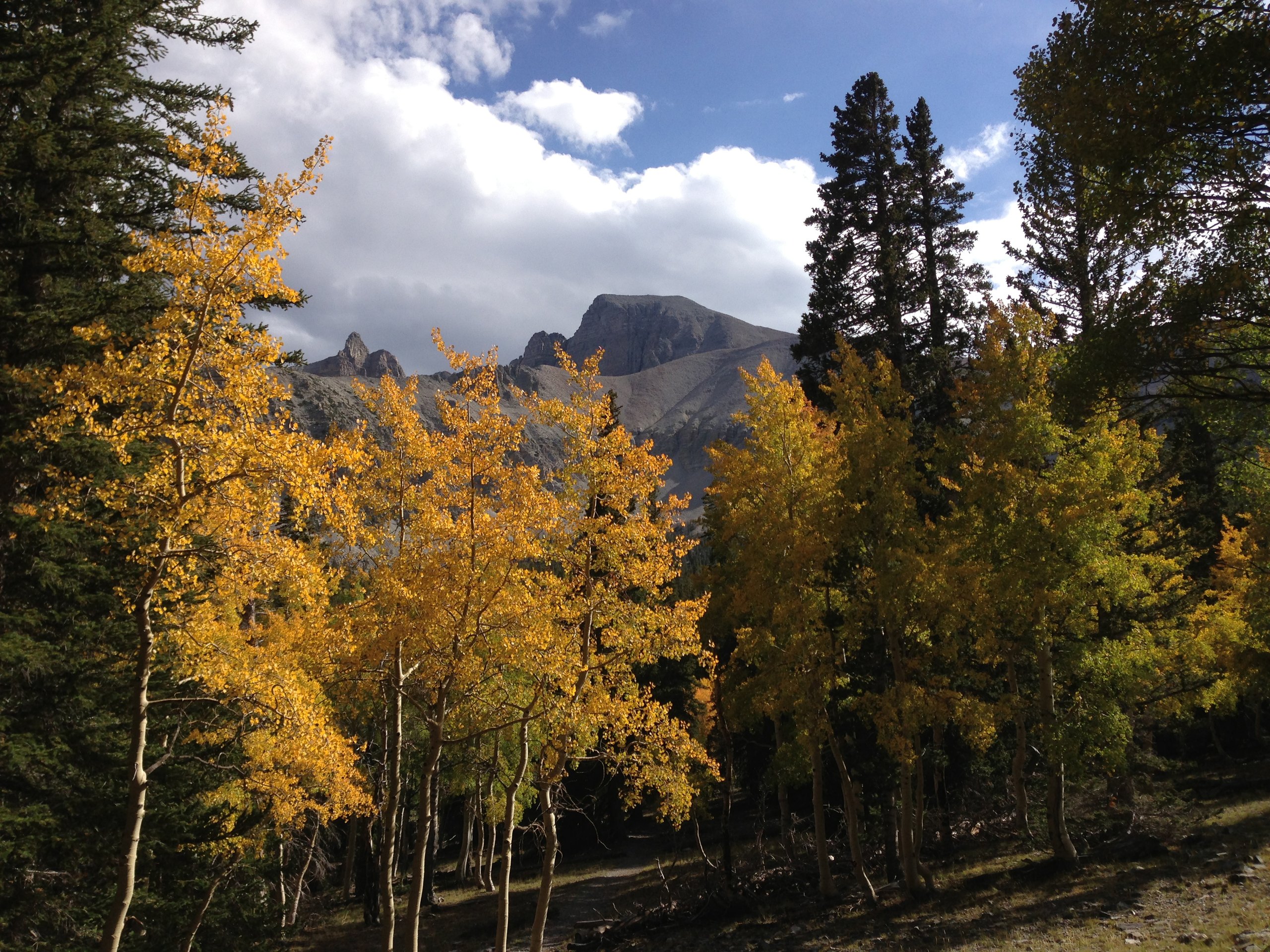
Top 8 things to do in Great Basin National Park
Great Basin National Park, in eastern Nevada near the Utah border, rises from the sagebrush desert of the Great Basin to the 13,063-foot (3,982 m) summit of Wheeler Peak, one of the highest mountains in the region. In a single drive you climb from desert through pinyon and juniper, aspen and fir, to groves of bristlecone pines, some of the oldest living things on Earth, at the edge of the only glacier in Nevada. Below, a marble cave is filled with rare formations, and above, the night sky is among the darkest in the country. These are the eight outings we would put first. The order starts with what the park is known for, then goes by what an outing gives back for the time and effort it takes. Distances are approximate; times are our estimates and do not include stops.
The high trails start near 10,000 feet (3,050 m), and Wheeler Peak’s summit is far higher: take the climbs slowly, drink water, and turn back if you feel unwell. Summer afternoons bring thunderstorms with lightning above the trees, and snow can fall in any month up high. The park is remote, with no gas station inside it, so fill up before you come.
1. Tour Lehman Caves
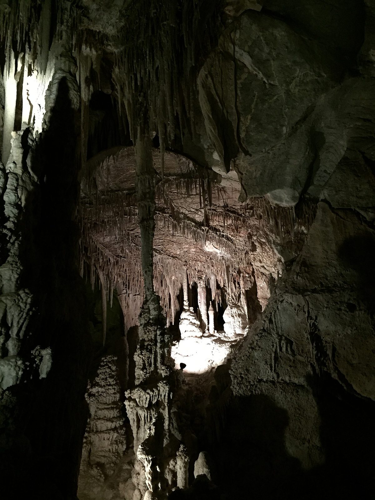
Lehman Caves is a single, richly decorated marble cave beneath the foot of Wheeler Peak, filled with stalactites, stalagmites, columns, draperies and more than 300 shields, rare formations shaped like flat discs that grow out of the walls. Rangers lead every tour, through rooms such as the Gothic Palace and the Lodge Room, and tell the story of Absalom Lehman, the rancher who explored it in the 1880s. The tours are small and popular, so book ahead.
- Allow: 1 to 1.5 hours, depending on the tour
- Start: Lehman Caves Visitor Center
- When: all year
- Suits: most walkers; the cave stays cool all year, so bring a light jacket
2. Drive the Wheeler Peak Scenic Drive
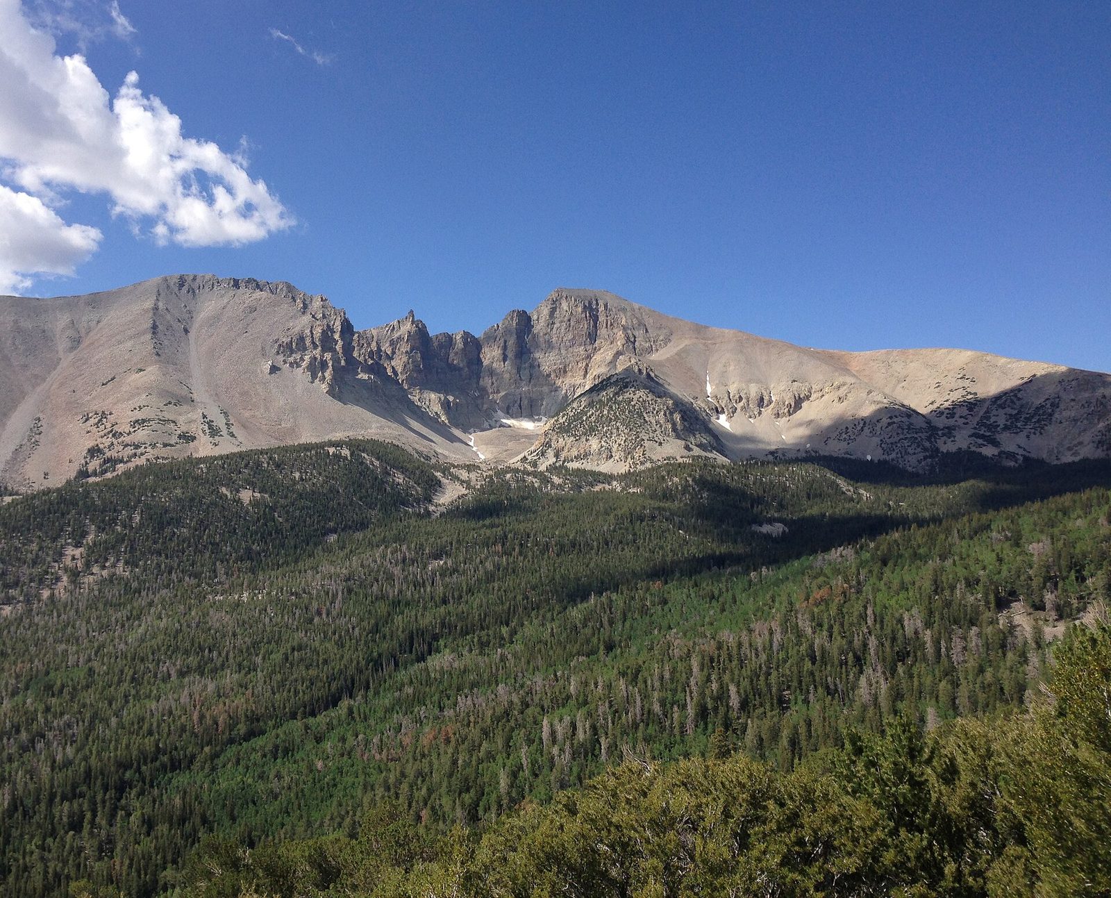
This paved road climbs from the visitor center through every life zone of the mountain, from sagebrush and pinyon to aspen groves and spruce forest, to a campground and trailheads at about 10,000 feet (3,050 m), with pullouts looking up at Wheeler Peak and out across the desert valleys. It is steep and winding, and in fall the aspen groves turn gold.
- Distance: 12 miles (19 km) each way
- Allow: 1 hour with stops
- Start: near the Lehman Caves Visitor Center
- When: the upper road is usually open from about June to October; vehicles over 24 feet (7.3 m) are not allowed beyond the lower section
- Suits: everyone
3. See the ancient bristlecones and the glacier
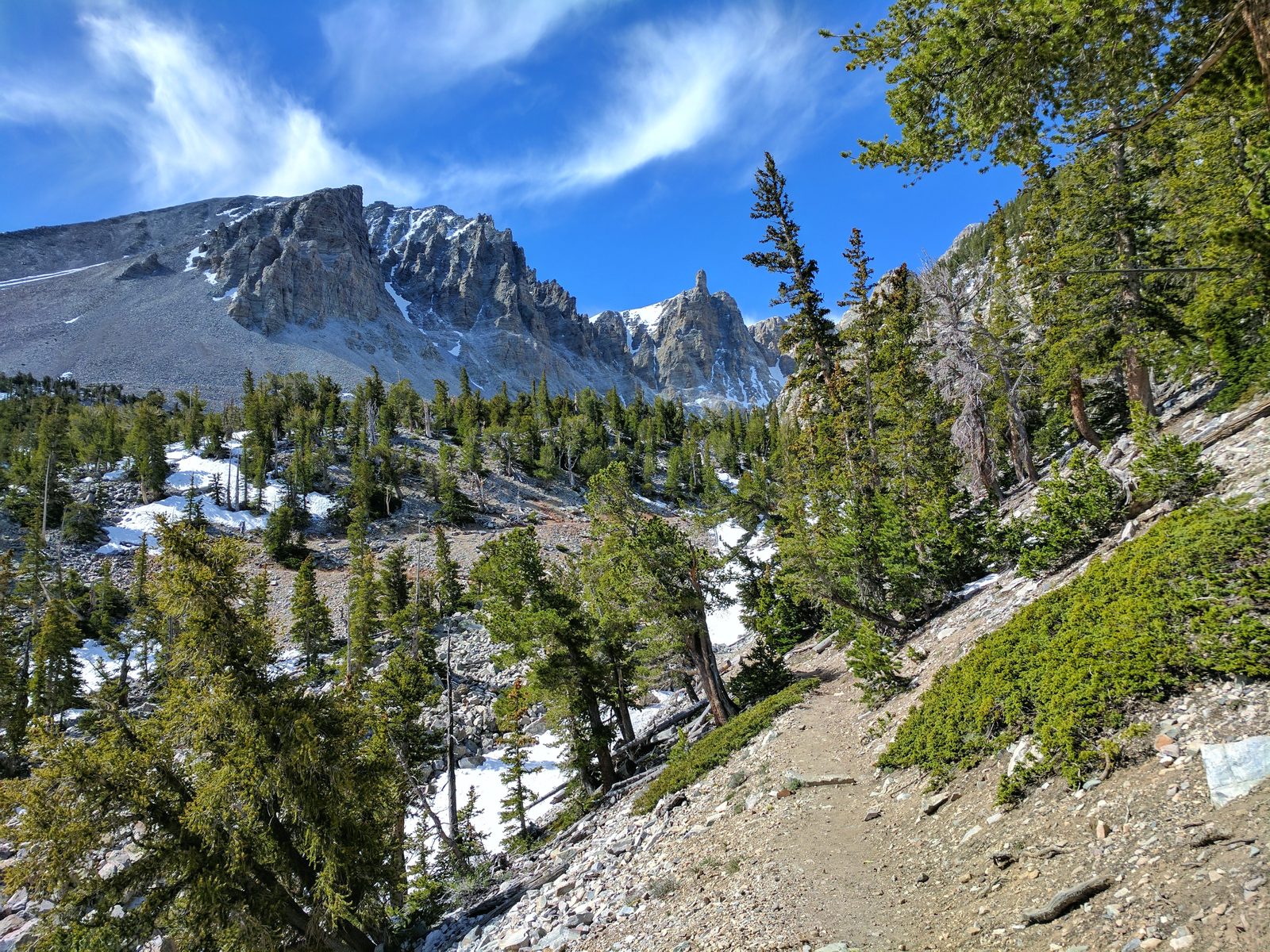
High on the slopes below Wheeler Peak, a trail leads through forest to a grove of Great Basin bristlecone pines, twisted, wind-polished trees with only a strip of living bark, some of them more than 4,000 years old. Signs along the way tell their ages. Beyond the grove, the trail continues up a rocky moraine to a view of the Wheeler Peak Glacier, the only glacier in Nevada, in its cirque beneath the peak’s sheer north face.
- Distance: 2.8 miles (4.5 km) round trip to the grove; about 4.6 miles (7.4 km) round trip with the glacier
- Climb: about 600 feet (180 m) to the grove; about 1,100 feet (340 m) to the glacier
- Allow: 2 hours; 3 to 4 hours with the glacier
- Start: Bristlecone trailhead, at the end of the Wheeler Peak Scenic Drive
- When: July to September
- Suits: most walkers who take the altitude slowly
4. Climb Wheeler Peak
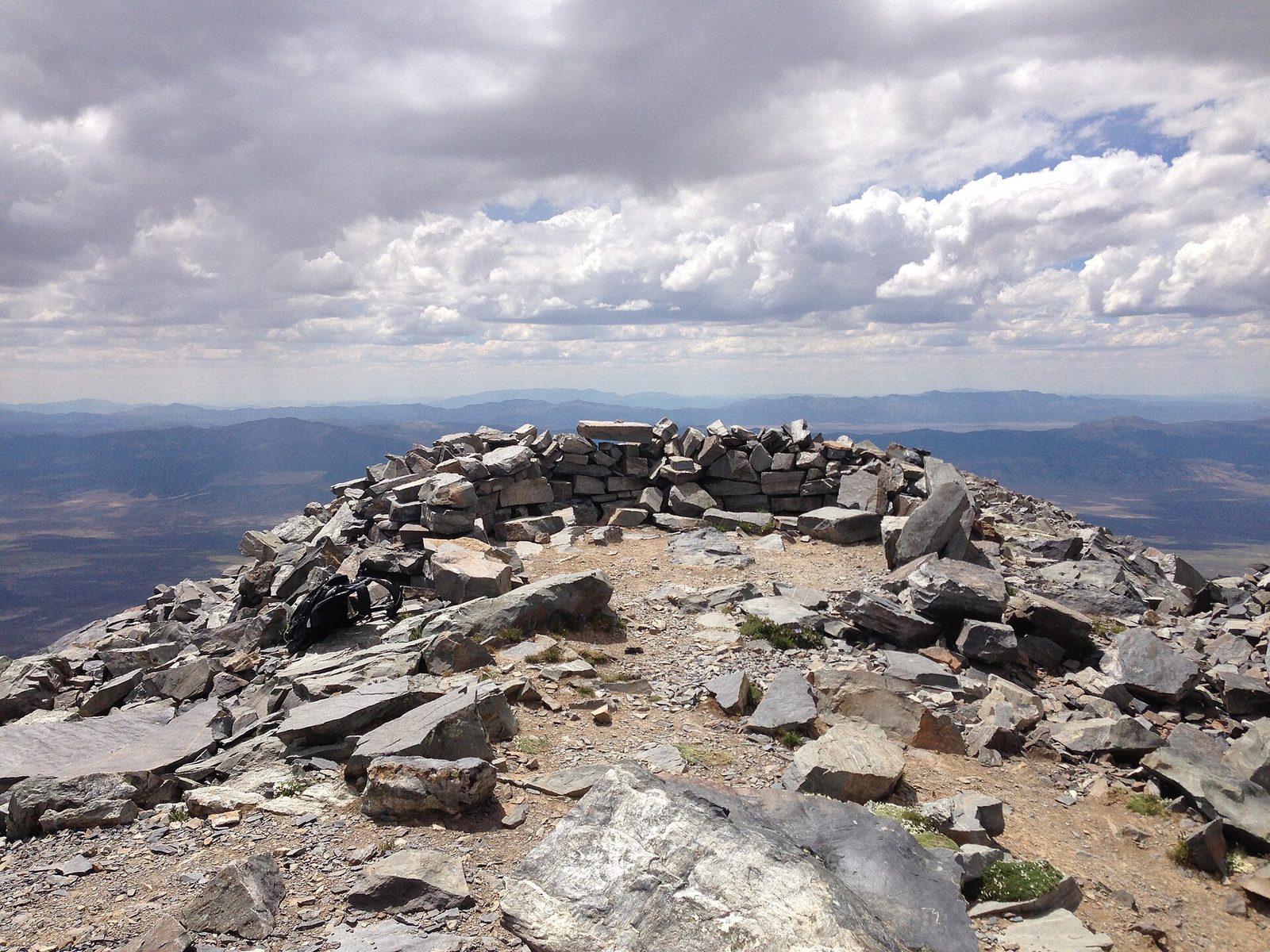
The summit of Wheeler Peak is the great hike of the park, climbing above the trees onto a long, bare ridge of broken rock to the top, with views across range after range of the Great Basin and down onto the glacier on the far side. The air is thin and the wind is often strong, and storms can build quickly on summer afternoons, so start at dawn and turn back if clouds gather.
- Distance: 8.6 miles (13.8 km) round trip
- Climb: about 2,900 feet (880 m)
- Allow: 6 to 8 hours
- Start: Summit trailhead, near the end of the Wheeler Peak Scenic Drive
- When: July to September
- Suits: fit hikers used to altitude
5. Walk the Alpine Lakes Loop
This loop leads through spruce and aspen forest to two small alpine lakes below Wheeler Peak: Stella Lake, where the peak is reflected on a calm morning, and Teresa Lake, in a meadow at the foot of the mountain. It is the easiest of the high trails, and in late September the aspens along it turn gold against the grey peak.
- Distance: about 2.7 miles (4.3 km) loop
- Allow: 1.5 to 2 hours
- Start: Bristlecone trailhead or the Summit trailhead, at the end of the Wheeler Peak Scenic Drive
- When: July to September; late September for colour
- Suits: most walkers who take the altitude slowly
6. Stay up for the night sky
Great Basin is far from any city, and its high, dry air makes its night sky one of the darkest and clearest in the country: on a moonless night thousands of stars are visible, with the Milky Way stretched across the sky above the mountains. The park is an International Dark Sky Park, and in summer rangers hold astronomy programs with telescopes, and the park holds an astronomy festival.
- Allow: an hour or two after dark
- Start: the Lehman Caves Visitor Center area, or the campgrounds
- When: all year, near the new moon; ranger programs mainly in summer
- Suits: everyone
7. Hike to Lexington Arch
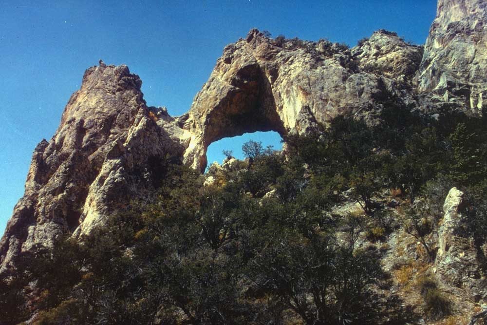
In a remote canyon at the park’s southern end, a limestone arch about six stories high spans a ridge above the canyon, unusual because most arches of its size are sandstone. The trail to it climbs through pinyon and juniper to a viewpoint below the arch. Reaching the trailhead takes a long drive on rough dirt roads, so few visitors come here.
- Distance: about 3.4 miles (5.5 km) round trip
- Allow: 2 to 3 hours, plus the drive
- Start: Lexington Arch trailhead, reached by dirt roads from Utah State Route 21 near Garrison
- When: May to October, in dry weather; a high-clearance vehicle is best
- Suits: fit walkers
8. Follow the Osceola Ditch
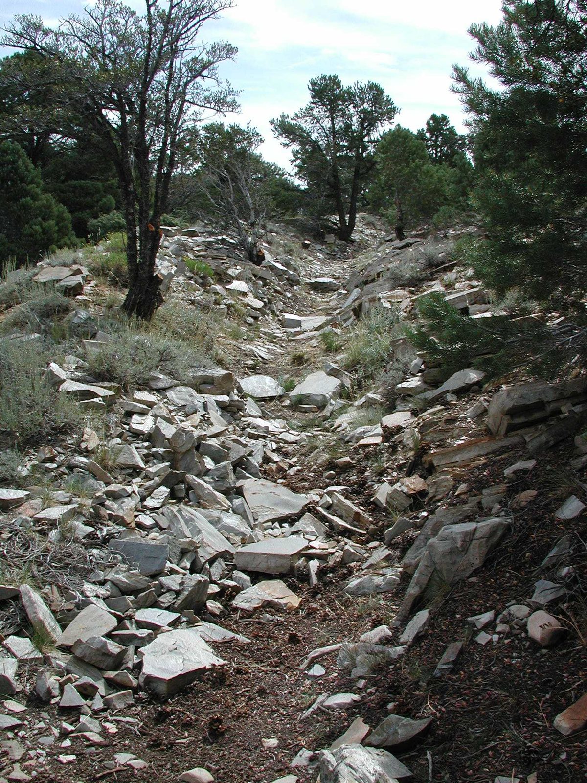
In the 1880s, miners dug a ditch for miles across the mountainside to carry water to the gold placers at Osceola, on the far side of the range. Its traces still run through the forest, and a short trail from the scenic drive follows a section of it, with signs telling the story of the men who built it by hand and the boom that did not last.
- Allow: 45 minutes
- Start: the Osceola Ditch trailhead, off the Wheeler Peak Scenic Drive
- When: June to October
- Suits: everyone
Before you go
This list covers what stays the same from year to year. Closures, cave tour schedules, road opening dates and fire restrictions change, and the National Park Service posts them on its own site. The link is on our Great Basin National Park guide, with the map and how to get there.