

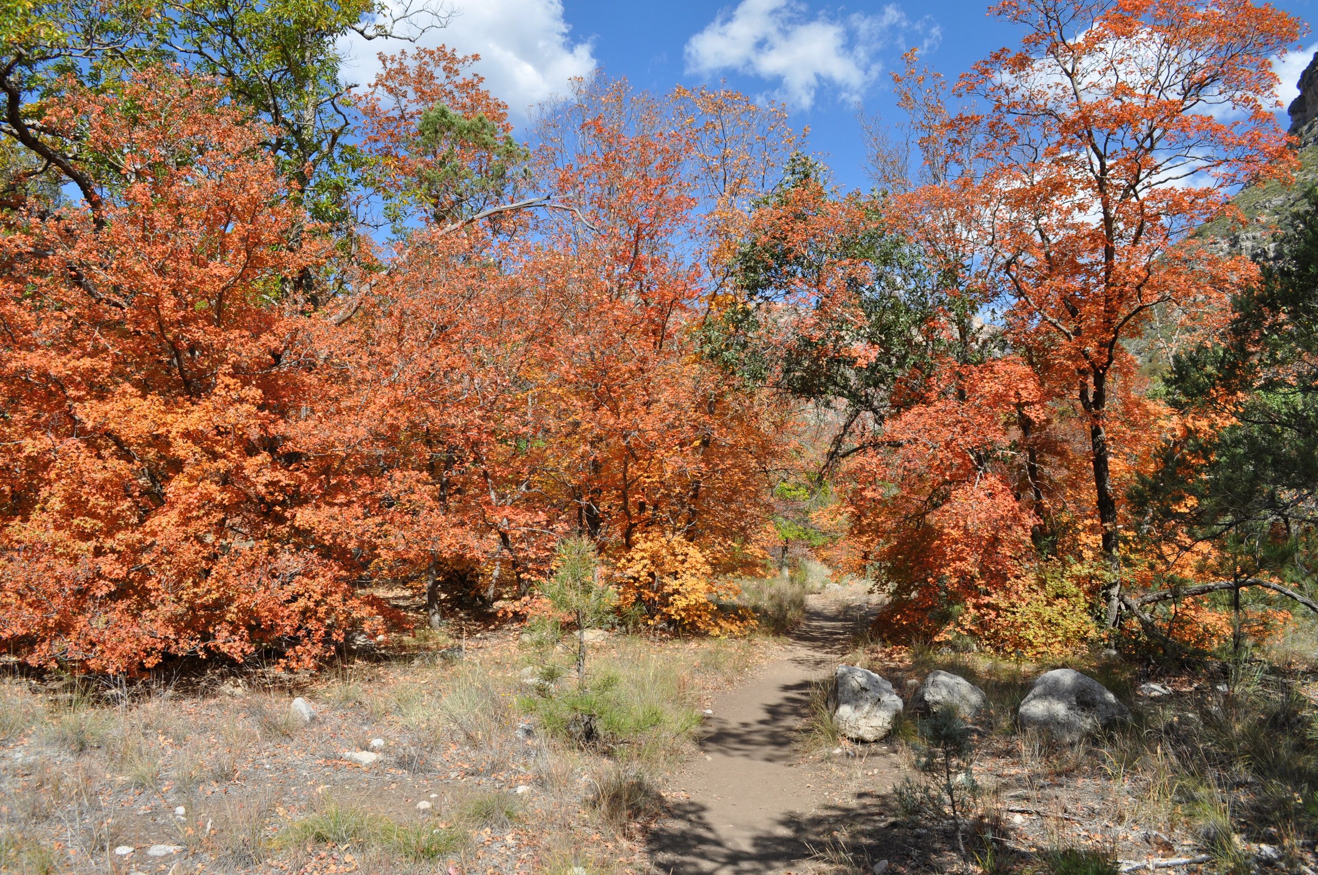
Top 9 things to do in Guadalupe Mountains National Park
Guadalupe Mountains National Park, in far West Texas on the New Mexico border, protects the highest peaks in Texas and the best exposed part of one of the finest fossil reefs on Earth, built in a tropical sea some 265 million years ago and now lifted thousands of feet into the desert sky. From the Chihuahuan Desert at its base, the range rises in great pale cliffs to a high country of pine and fir, cut by canyons where streams, maples and oaks hide among the rock. It is a wild, remote park with few roads, best explored on foot. These are the nine outings we would put first. The order starts with what the park is known for, then goes by what an outing gives back for the time and effort it takes. Distances are approximate; times are our estimates and do not include stops.
The park is known for its wind, which can blow at more than 50 mph (80 km/h) on the peaks and ridges, especially in winter and spring. There is little water and almost no shade on the desert trails, so carry plenty of water and start early in warm weather. Summer storms bring lightning to the high ridges. Watch for rattlesnakes, and for the sharp spines of lechuguilla and other desert plants.
1. Climb Guadalupe Peak, the top of Texas
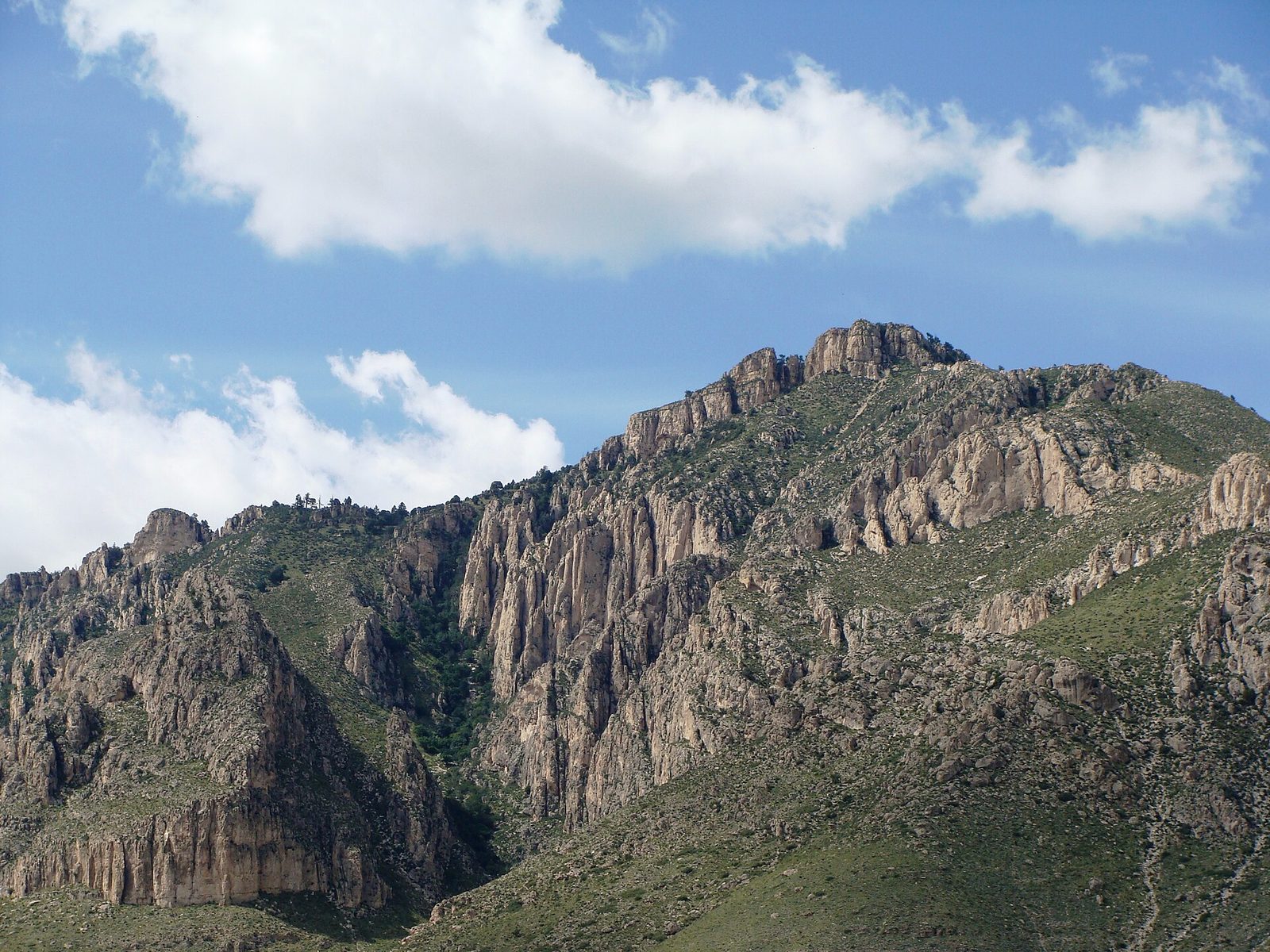
At 8,751 feet (2,667 m), Guadalupe Peak is the highest point in Texas, and the trail to its summit is the park’s great hike. It climbs steadily in switchbacks from the desert at Pine Springs, through pinyon, juniper and then a forest of pine and Douglas fir, onto a rocky ridge and up to the summit, marked by a steel pyramid. From the top you see El Capitan’s cliff below, the salt flats far to the west and the desert stretching into New Mexico.
- Distance: 8.4 miles (13.5 km) round trip
- Climb: about 3,000 feet (910 m)
- Allow: 6 to 8 hours
- Start: Pine Springs trailhead, near the Pine Springs Visitor Center
- When: October to May; start early, and turn back in high wind or storms
- Suits: fit hikers
2. Walk into McKittrick Canyon
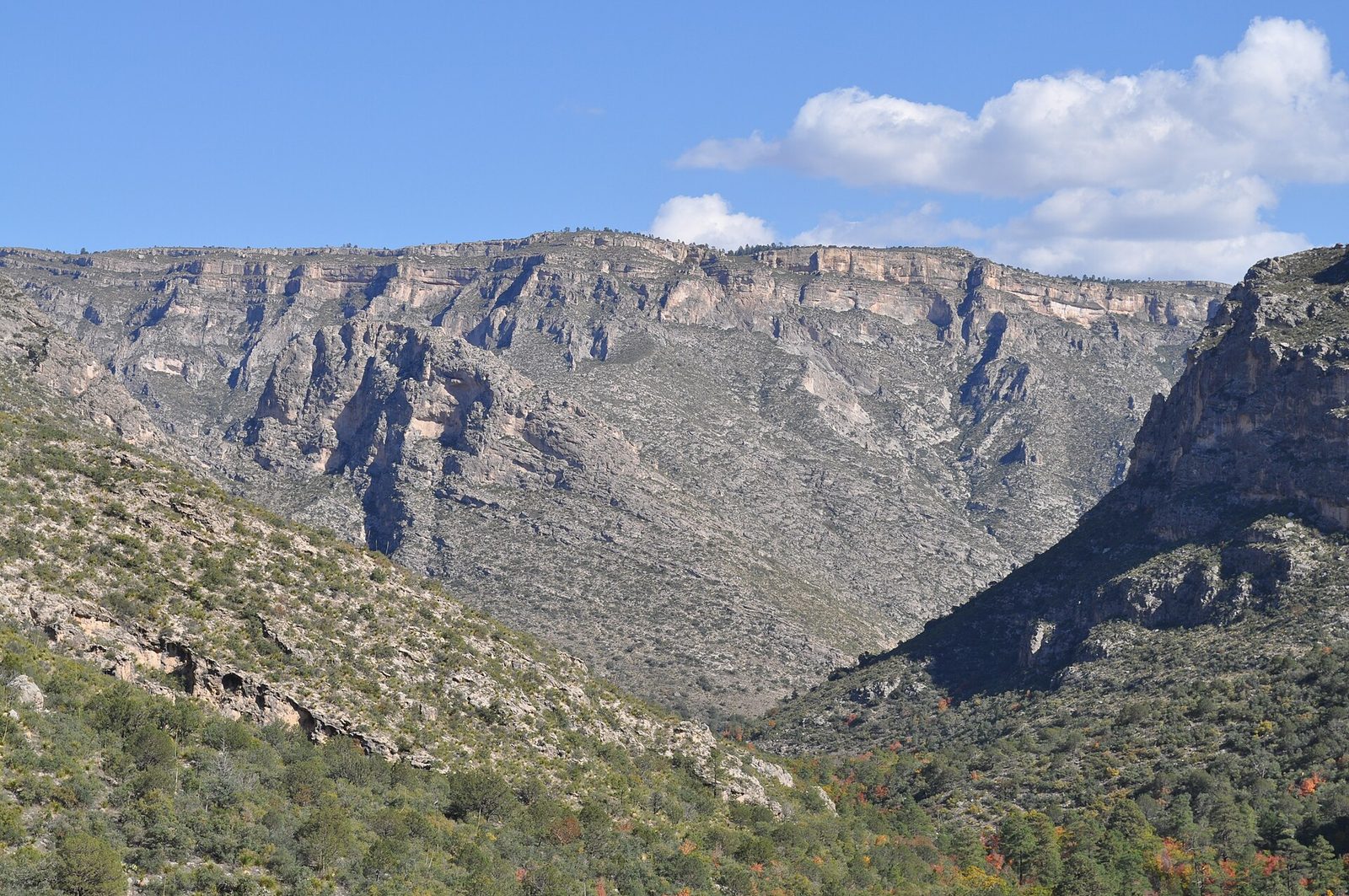
McKittrick Canyon is a hidden oasis in the desert: a stream runs along its floor, shaded by bigtooth maples, oaks, walnuts and madrones, between the towering walls of the old reef. In late October and early November the maples turn red and orange, and it is some of the finest fall colour in Texas. The trail follows the creek to Pratt Cabin, the stone house of the geologist who gave the canyon to the public, and on to the Grotto, a small cave of reef-like formations.
- Distance: about 4.8 miles (7.7 km) round trip to Pratt Cabin; 6.8 miles (11 km) round trip to the Grotto
- Allow: 3 to 5 hours
- Start: McKittrick Canyon trailhead, off US 62/180 northeast of Pine Springs
- When: all year during the gate’s day-use hours; late October to early November for colour
- Suits: most walkers
3. See El Capitan
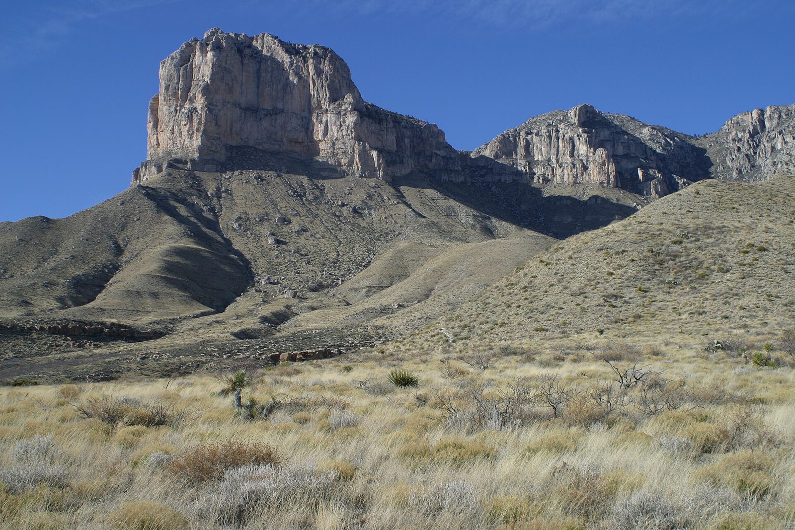
El Capitan, a sheer cliff of pale limestone at the southern end of the range, rises more than 1,000 feet (300 m) above the desert and can be seen for miles along US 62/180. For centuries it guided travellers across the desert. The best views are from the highway pullouts and the roadside picnic area at the park’s southern edge, and from the El Capitan Trail, which runs along the base of the cliffs through the desert.
- Allow: 30 minutes from the road; half a day on the El Capitan Trail
- Start: the pullouts on US 62/180, or Pine Springs trailhead for the El Capitan Trail
- When: all year; early morning and evening light is best
- Suits: everyone
4. Walk to Devil’s Hall
From Pine Springs, a trail follows a dry, rocky wash up Pine Spring Canyon, climbs the Hiker’s Staircase, a series of natural rock steps, and enters Devil’s Hall, a narrow slot where the canyon walls close to about 15 feet (4.6 m) apart. It is one of the park’s most popular short hikes, with a lot of scrambling over boulders in the wash.
- Distance: 4.2 miles (6.8 km) round trip
- Allow: 2.5 to 3 hours
- Start: Pine Springs trailhead
- When: all year; avoid it when storms threaten
- Suits: sure-footed walkers
5. Walk the Smith Spring loop from Frijole Ranch
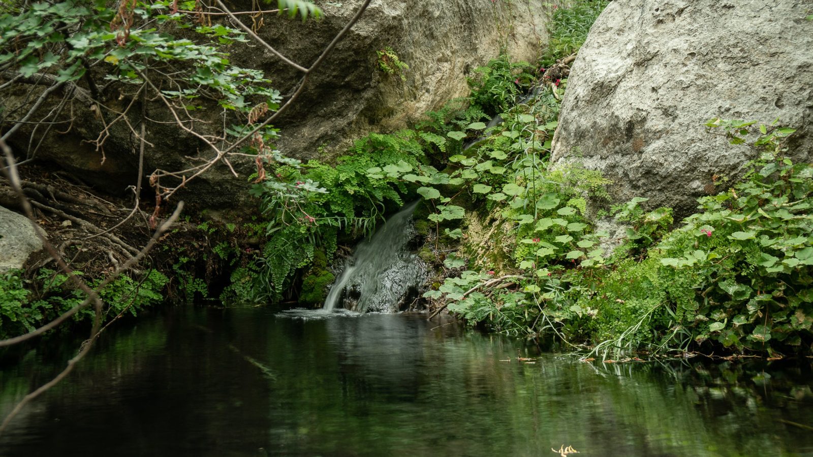
Frijole Ranch, a stone ranch house from the late 1800s, is now a small museum of ranch life in the mountains. From it, an easy loop climbs through desert and woodland to Manzanita Spring and Smith Spring, a small, shaded oasis where water trickles over the rock among maples and madrones, a cool refuge on a hot day. Mule deer and birds come to the water.
- Distance: about 2.5 miles (4 km) loop
- Allow: 1.5 hours
- Start: Frijole Ranch, off US 62/180 north of Pine Springs
- When: all year
- Suits: most walkers
6. See the Pinery stage station ruins
In 1858 the Butterfield Overland Mail, the first stagecoach line to carry mail across the continent, built a relay station at the top of Guadalupe Pass, where horses were changed and passengers rested. It was used for less than a year before the route moved. Its stone ruins stand beside a short, paved trail from the visitor center, with El Capitan in view.
- Distance: a short, paved walk
- Allow: 20 minutes
- Start: Pine Springs Visitor Center
- When: all year
- Suits: everyone
7. Hike up to The Bowl
High above Pine Springs, The Bowl is a hidden basin of ponderosa pine and Douglas fir forest in the high country of the range, a remnant of the cooler, wetter forests of the last ice age, where elk and mule deer live. A long, steep loop climbs to it from Pine Springs, with wide views over the desert along the way. It is one of the best day hikes in Texas.
- Distance: about 8.5 miles (13.7 km) loop
- Climb: about 2,500 feet (760 m)
- Allow: 6 to 7 hours
- Start: Pine Springs trailhead
- When: spring and fall
- Suits: fit hikers
8. Explore the Salt Basin Dunes
On the remote west side of the park, far from the main roads, a field of white gypsum and quartz sand dunes rises at the foot of the range’s western cliffs. A walk across the flats leads to the dunes, with the great escarpment of the Guadalupes towering behind. Few visitors come here, and the sunset light on the cliffs is wonderful.
- Allow: 2 to 3 hours, plus a long drive
- Start: Salt Basin Dunes trailhead, on the west side of the park, reached by a long drive and a gravel road from Dell City
- When: October to April
- Suits: walkers comfortable in remote desert
9. Look up at the night sky
Guadalupe Mountains is far from any city, and its skies are among the darkest in Texas. On a clear, moonless night the Milky Way is bright over the dark ridges, and the Pine Springs campground and the visitor center area are good places to watch. Ranger-led night programs are held at times through the year.
- Allow: an hour or two after dark
- Start: Pine Springs campground
- When: all year, near the new moon
- Suits: everyone
Before you go
This list covers what stays the same from year to year. Closures, fire restrictions, gate hours and wind warnings change, and the National Park Service posts them on its own site. The link is on our Guadalupe Mountains National Park guide, with the map and how to get there.