

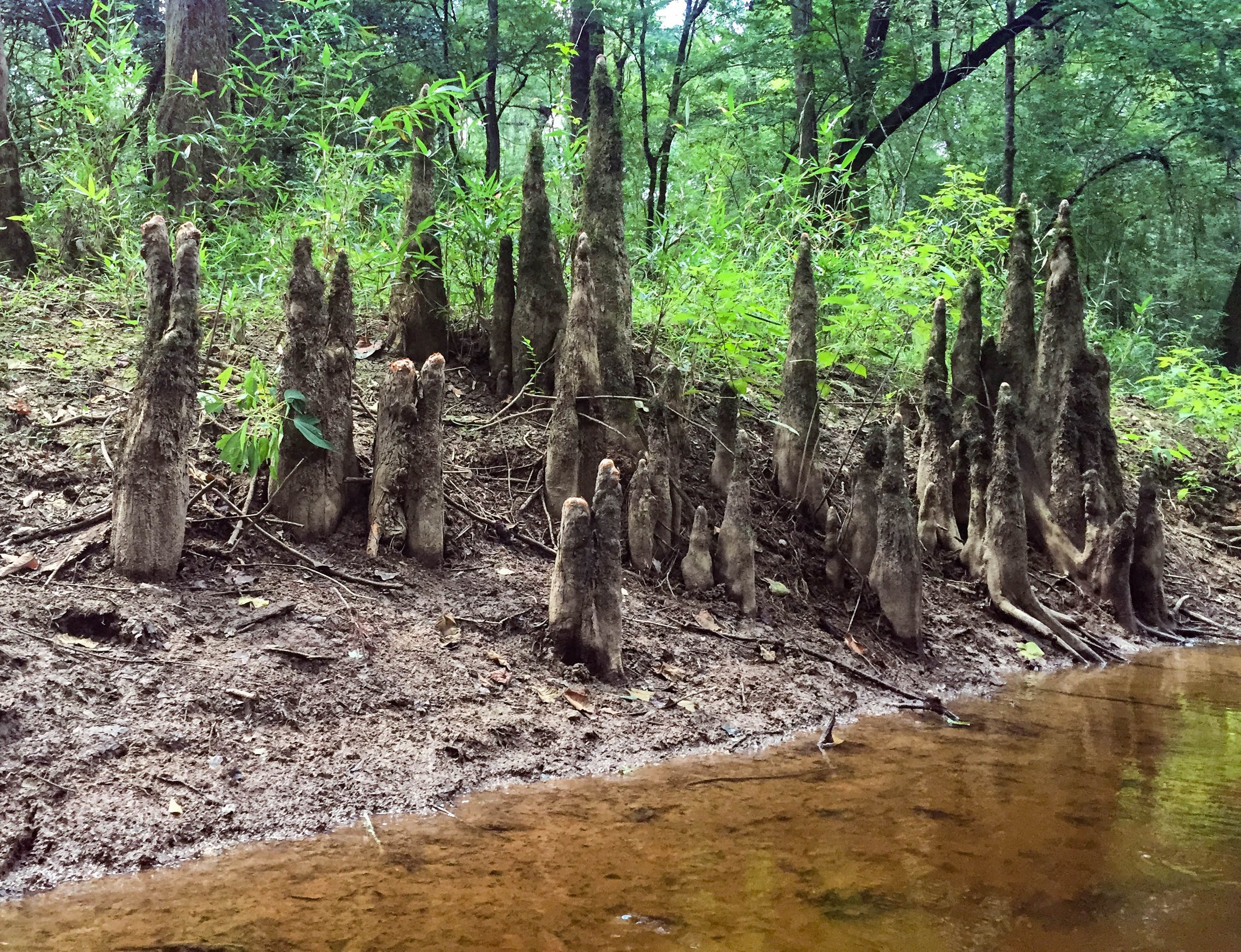
Top 8 things to do in Congaree National Park
Congaree National Park, about 20 miles (30 km) southeast of Columbia, South Carolina, protects the largest tract of old-growth bottomland hardwood forest left in the United States. The Congaree River floods it several times a year, spreading silt that feeds some of the tallest trees in the eastern United States: loblolly pines, bald cypresses with their knobbly knees, sweetgums, cherrybark oaks and tupelos, many of them record holders for their kind. It is a quiet, shady, green world of creeks, sloughs and oxbow lakes, best explored on foot or by canoe. These are the eight outings we would put first. The order starts with what the park is known for, then goes by what an outing gives back for the time and effort it takes. Distances are approximate; times are our estimates and do not include stops.
Floods can cover the trails, and even parts of the boardwalk, within a day or two of heavy rain upstream: check with the visitor center before heading out. Mosquitoes can be intense from spring through fall, which the park’s own “mosquito meter” at the visitor center rates each day, so bring repellent. Summers are hot and humid. Watch for cottonmouths and other snakes near the water, and for fallen and falling limbs on windy days.
1. Walk the Boardwalk Loop
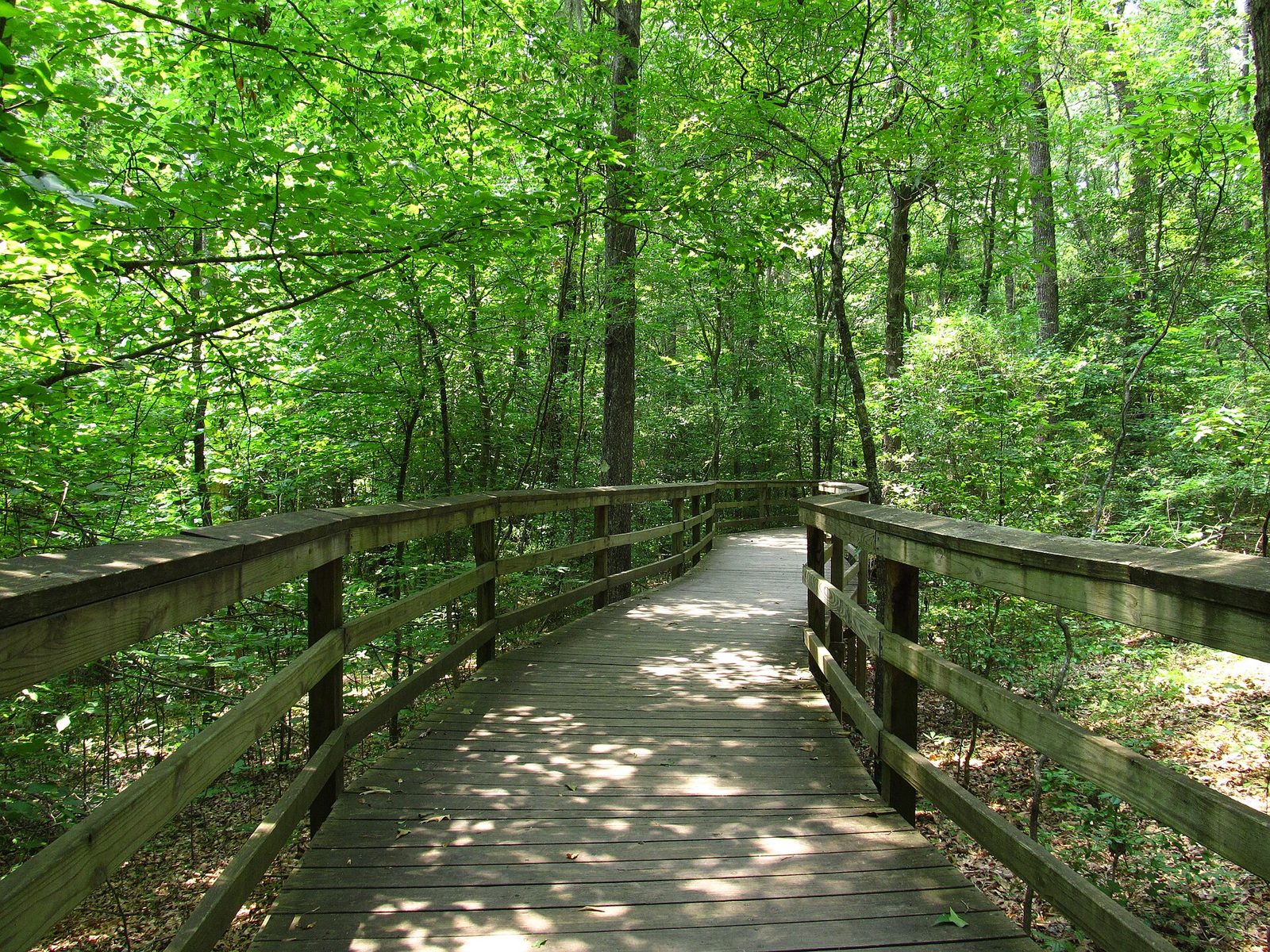
The park’s signature walk is a loop of boardwalk that leaves the visitor center and crosses the floodplain forest, raised above most floodwater, among huge bald cypresses and their knees, loblolly pines and water tupelos. Part of it runs low through the swamp and part high on stilts. Numbered stops explain how the floods shape the forest, and on a quiet morning you may see barred owls, pileated woodpeckers, deer and turtles.
- Distance: 2.6 miles (4.2 km) loop
- Allow: 1.5 hours
- Start: Harry Hampton Visitor Center
- When: all year; spring and fall are the most comfortable
- Suits: everyone; the boardwalk is level and accessible
2. Watch the synchronous fireflies
For a few weeks each year, usually from mid-May to mid-June, thousands of fireflies along the boardwalk flash their lights in unison, so that patches of the dark forest pulse on and off together. Congaree is one of the few places in North America to see it. It has become very popular, and in recent years the park has managed the crowds on the best nights, so find out how viewing works that year before you go.
- Allow: an evening
- Start: the Boardwalk Loop, from the Harry Hampton Visitor Center
- When: about mid-May to mid-June, after dark
- Suits: everyone; bring a red light and insect repellent
3. Paddle the Cedar Creek Canoe Trail
A marked paddling route follows Cedar Creek, a dark, slow stream, through the heart of the old-growth forest to the Congaree River, under arching cypresses and around fallen trees. River otters, turtles, wading birds and gar are common, and the stillness is remarkable. You can rent a canoe or kayak nearby or go with a guided trip; most people paddle a few miles upstream and back from the access point.
- Distance: about 15 miles (24 km) for the whole creek; 3 to 6 miles (5 to 10 km) round trip for most day trips
- Allow: 2 hours to a full day
- Start: the canoe launch at South Cedar Creek Road
- When: spring and fall, at moderate water levels
- Suits: everyone who can paddle; beginners with a guide
4. Hike the Weston Lake Loop
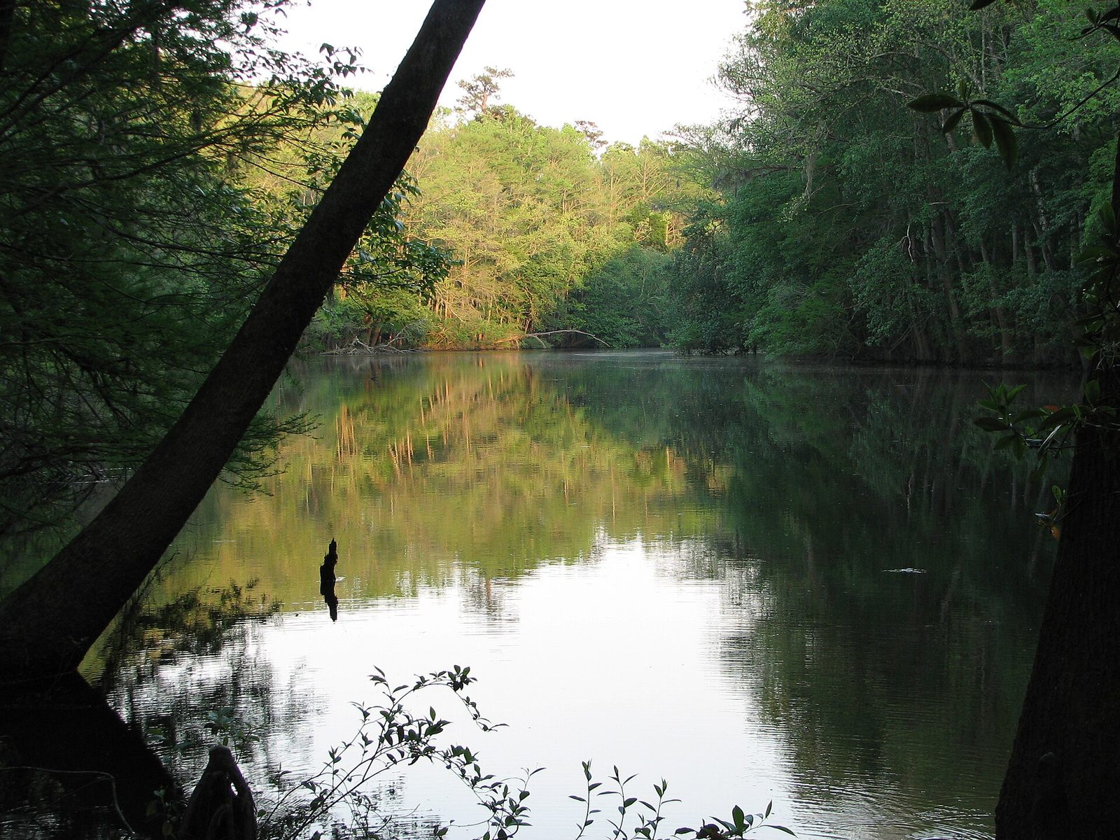
From the boardwalk, this loop leads deeper into the floodplain to Weston Lake, an oxbow lake left behind when the Congaree River changed course, lined with cypress and tupelo trees standing in the water. Along the way the trail passes some of the park’s tallest trees and follows Cedar Creek. It is quieter than the boardwalk, and a good place to look for river otters and wading birds.
- Distance: 4.6 miles (7.4 km) loop
- Allow: 2.5 hours
- Start: Harry Hampton Visitor Center, via the Boardwalk Loop
- When: October to May; check for flooding
- Suits: most walkers
5. Find the giants on the Oakridge Trail
This longer loop continues beyond Weston Lake through some of the largest and oldest trees in the park, including great cherrybark and swamp chestnut oaks, sweetgums and loblolly pines that reach more than 150 feet (45 m) into the canopy. It is a quiet walk through forest that escaped the logging that cleared most of the region, and the size of the trees is hard to take in.
- Distance: about 7.5 miles (12 km) loop
- Allow: 3.5 to 4 hours
- Start: Harry Hampton Visitor Center, via the Boardwalk Loop and Weston Lake Loop
- When: October to May; check for flooding
- Suits: steady walkers
6. Look for wildlife on the Kingsnake Trail
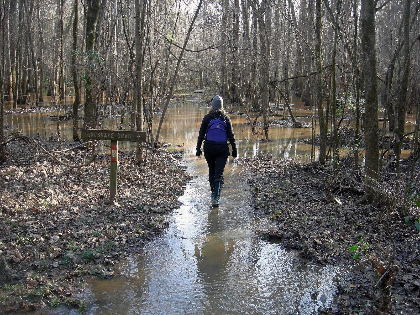
The Kingsnake Trail runs through the remote eastern part of the park, along Cedar Creek and through stands of cypress and tupelo, where few visitors go. It is one of the best walks in the park for wildlife: deer, wild turkeys, otters, owls, woodpeckers and, sometimes, feral hogs. It is a long out-and-back from its trailhead off South Cedar Creek Road, so walk as far as you like and turn back.
- Allow: 2 hours to a full day
- Start: Kingsnake trailhead, on South Cedar Creek Road
- When: October to May; check for flooding
- Suits: steady walkers
7. Paddle the Congaree River
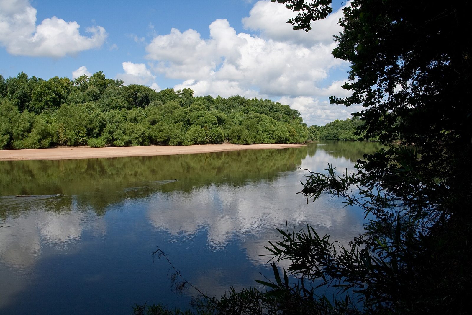
The Congaree River forms the park’s southern edge, a wide, brown river winding between sandbars and tall, forested banks. A marked paddling route, the Congaree River Blue Trail, runs from Columbia down past the park, and paddlers can camp on the sandbars. It is a quiet multi-day trip into the heart of the South Carolina lowlands.
- Allow: a day to several days
- Start: the river access points in and near Columbia
- When: spring and fall, at moderate river levels
- Suits: experienced paddlers
8. Walk the Bluff Trail and camp
The short Bluff Trail runs along the higher ground above the floodplain near the visitor center, through pine and hardwood forest, linking the park’s two campgrounds. It is a good walk for an evening, when the barred owls start calling across the swamp. Camping in the park lets you hear the forest come alive at night and be on the boardwalk at first light.
- Distance: about 0.7 miles (1.1 km) each way
- Allow: 30 minutes; a night with camping
- Start: Harry Hampton Visitor Center, or the campgrounds
- When: all year
- Suits: everyone
Before you go
This list covers what stays the same from year to year. Closures, flood conditions, firefly viewing arrangements and water levels change, and the National Park Service posts them on its own site. The link is on our Congaree National Park guide, with the map and how to get there.