

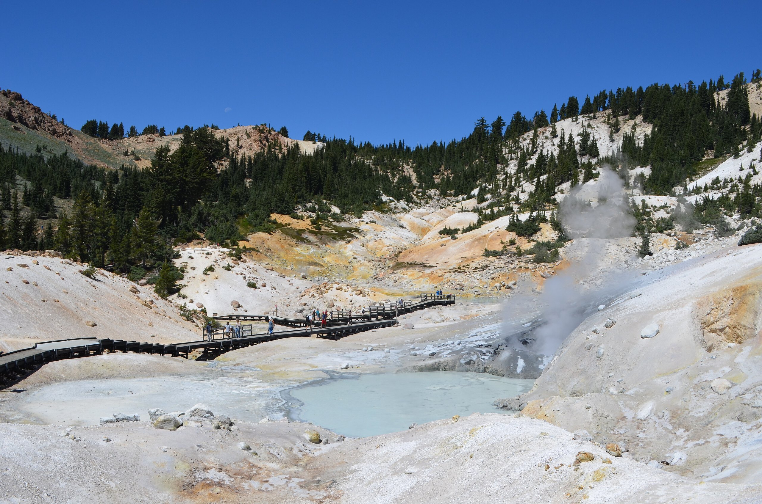
Top 10 things to do in Lassen Volcanic National Park
Lassen Volcanic National Park, in northeastern California at the southern end of the Cascade Range, was set aside in 1916, while Lassen Peak was still erupting. It is one of the few places on Earth with all four types of volcano in one area: a plug dome, shield volcanoes, a composite volcano and a cinder cone. Between them lie boiling mud pots, steaming vents and hot pools, alongside clear mountain lakes, meadows of wildflowers and forests of red fir and pine. These are the ten outings we would put first. The order starts with what the park is known for, then goes by what an outing gives back for the time and effort it takes. Distances are approximate; times are our estimates and do not include stops.
In the hydrothermal areas the ground can be a thin crust over boiling water and acid mud: stay on the boardwalks and marked trails, and keep children close. Snow covers the high trails into July most years and the main road through the park is closed by snow from about late fall to early summer. The trails start at 6,000 to 8,000 feet (1,800 to 2,400 m), so take the climbs slowly, carry water, and come down off the peaks when afternoon thunderstorms build.
1. Walk into Bumpass Hell
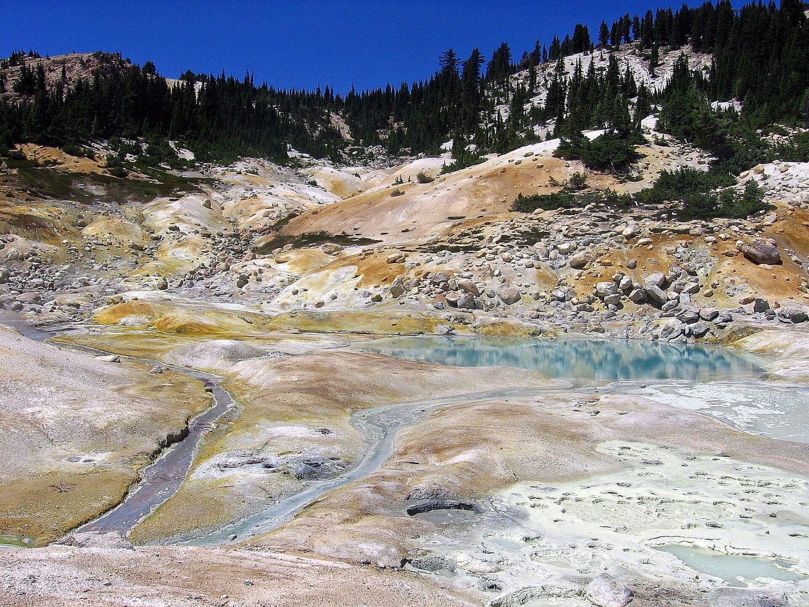
Bumpass Hell is the largest hydrothermal area in the park: a bowl of steaming, hissing ground stained yellow, orange and white, with boiling mud pots, roaring steam vents and pools of milky blue water as hot as 198°F (92°C). It is named for Kendall Bumpass, a guide who broke through the crust here in the 1860s and badly burned his leg. The trail leads along a mountainside with views over the park and then drops into the basin, where a boardwalk winds among the features.
- Distance: 3 miles (4.8 km) round trip
- Climb: about 300 feet (90 m) back up out of the basin
- Allow: 2 hours
- Start: Bumpass Hell trailhead, on the park highway near Lake Helen
- When: mid-July to October, once the snow has gone
- Suits: most walkers
2. Climb Lassen Peak
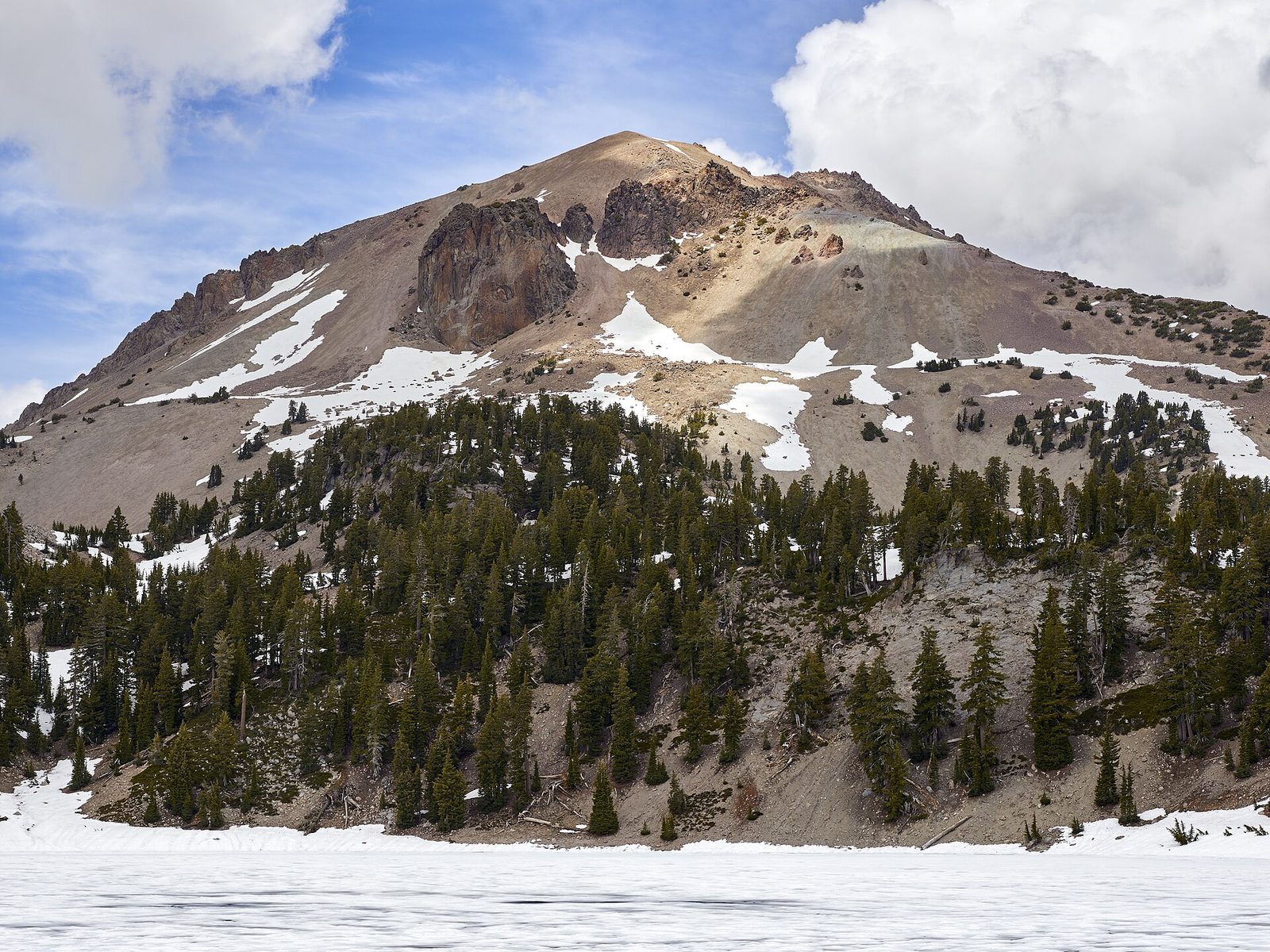
Lassen Peak is one of the largest lava domes in the world, and it last erupted from 1914 to 1917, sending ash clouds miles into the air. The trail to its summit climbs steadily in switchbacks up the open slopes, with Lake Helen shining below, to a summit area of jagged lava blocks and the craters of those eruptions. On a clear day the view takes in Mount Shasta to the north and much of northern California.
- Distance: 5 miles (8 km) round trip
- Climb: nearly 2,000 feet (600 m), to 10,457 feet (3,187 m)
- Allow: 4 to 5 hours
- Start: Lassen Peak trailhead, on the park highway above Lake Helen
- When: mid-July to October; start early to be down before afternoon storms
- Suits: fit hikers
3. Drive the park highway past Sulphur Works
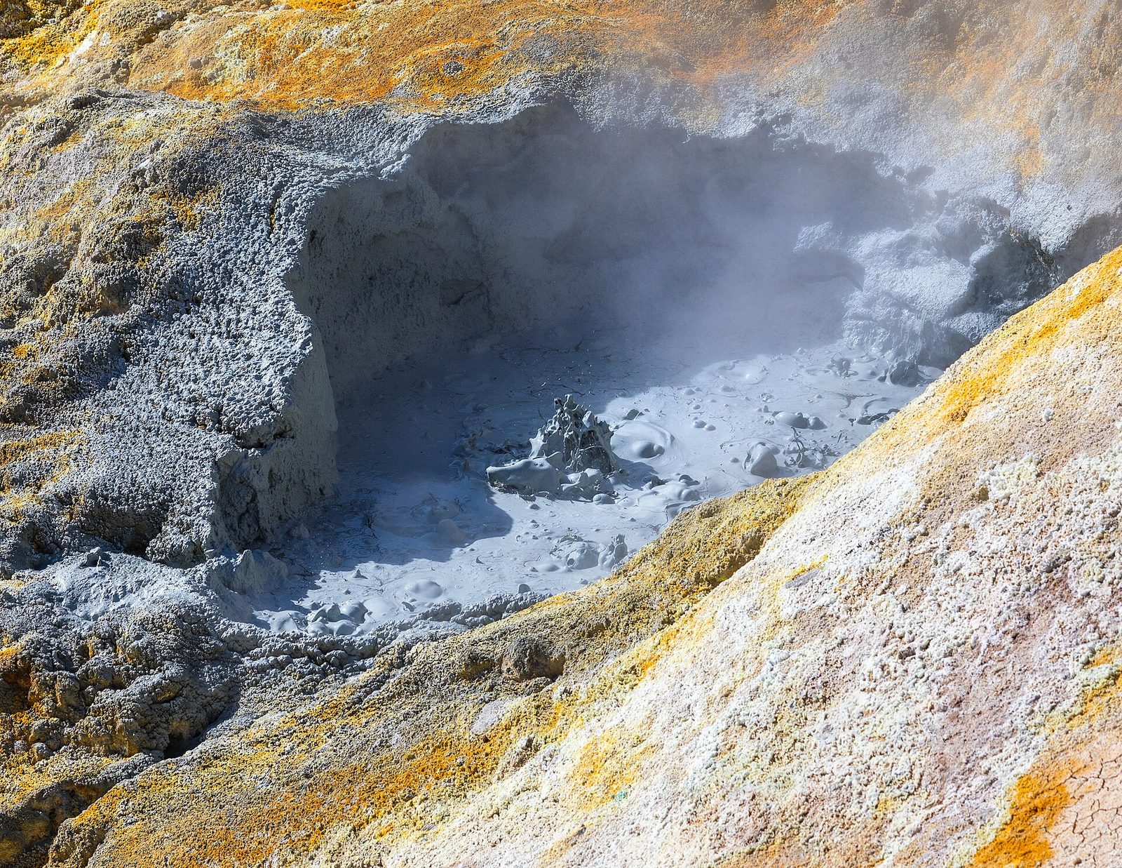
The park’s one main road runs about 30 miles (48 km) through it, climbing past the hydrothermal area of Sulphur Works, where mud pots bubble and steam vents roar right beside the road, then up past Lake Helen to about 8,500 feet (2,600 m) below Lassen Peak, and down past meadows, lakes and the Devastated Area to Manzanita Lake. It is the best way to see the whole park in a day, with trailheads, viewpoints and picnic areas all along it.
- Distance: about 30 miles (48 km)
- Allow: half a day with stops
- Start: Kohm Yah-mah-nee Visitor Center at the southwest entrance, or Manzanita Lake at the northwest entrance
- When: about June to October; Sulphur Works can be reached from the south all year
- Suits: everyone
4. Walk around Manzanita Lake
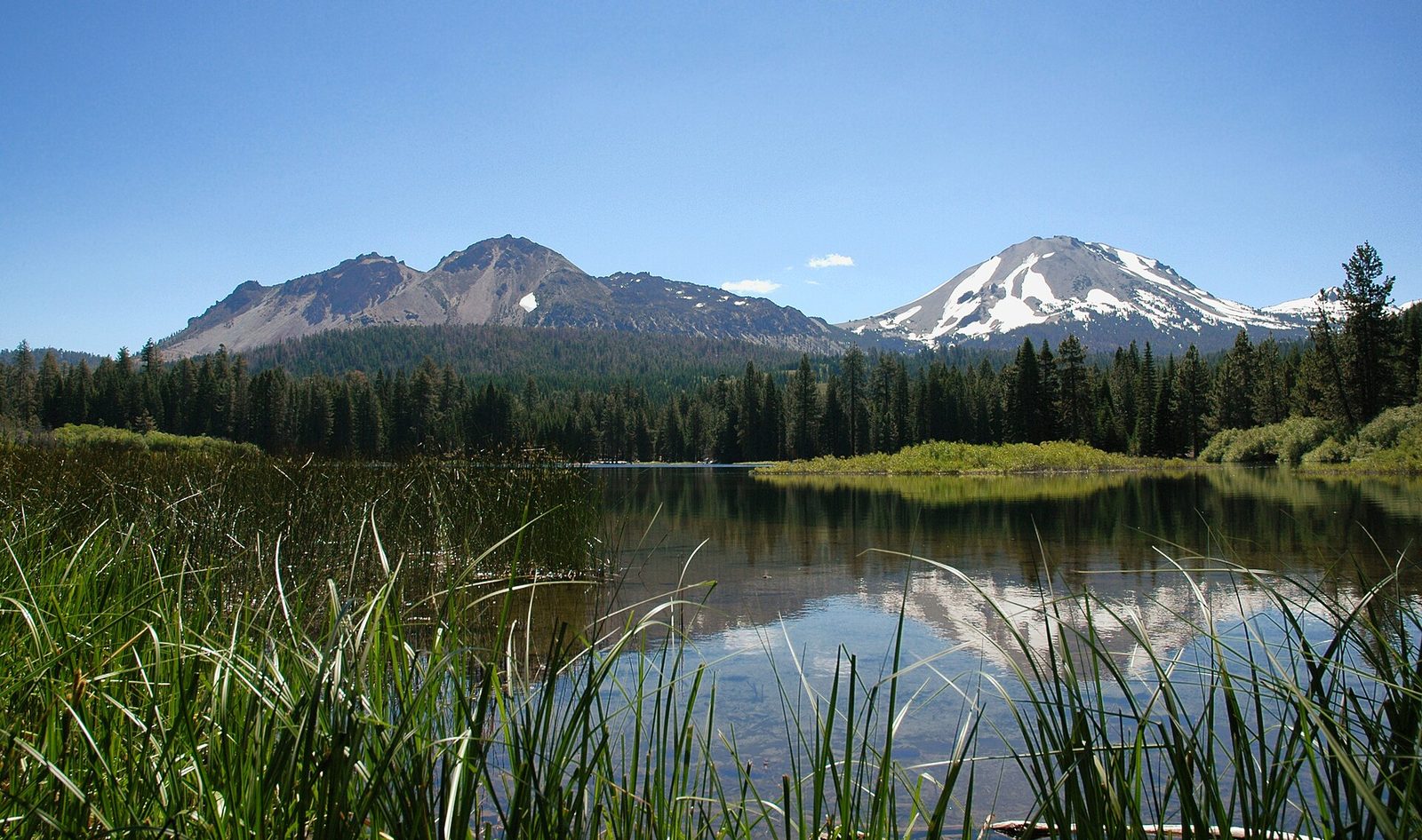
Near the northwest entrance, a level trail circles Manzanita Lake, where on a calm morning Lassen Peak and the jagged Chaos Crags are reflected in the water. The lake is popular for kayaking, fishing and swimming, and there is a campground with a store nearby. Stop at the Loomis Museum by the lake, built in 1927 by B.F. Loomis, who photographed the 1915 eruptions and helped create the park, to see his pictures of the volcano in action.
- Distance: about 2 miles (3.2 km) loop
- Allow: 1 hour, plus time at the museum
- Start: Manzanita Lake, near the northwest entrance
- When: June to October; the museum keeps summer hours
- Suits: everyone
5. Hike to Kings Creek Falls
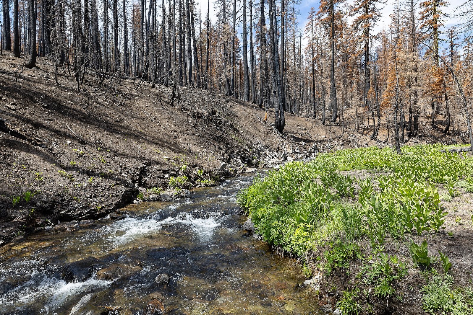
This walk follows Kings Creek through a green meadow full of wildflowers in summer, then down through the forest beside a long series of cascades, on a section of trail cut into the rock with stone steps, to a viewpoint over the falls. It is one of the most popular walks in the park, and among the prettiest in midsummer.
- Distance: about 2.3 miles (3.7 km) loop
- Climb: about 700 feet (210 m) back up from the falls
- Allow: 1.5 to 2 hours
- Start: Kings Creek Falls trailhead, on the park highway
- When: July to October
- Suits: most walkers; the cascade section is steep and uneven
6. Climb Cinder Cone and see the Painted Dunes
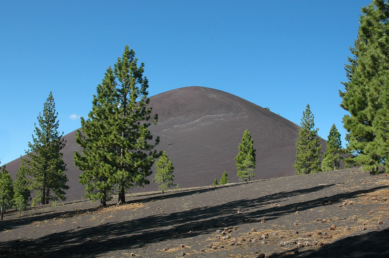
In the quieter northeast corner of the park, a near-perfect cone of black cinders rises above a field of jagged lava flows and hills of ash tinted red and orange, the Painted Dunes. It erupted in the 1650s. The trail crosses a sandy plain to its foot, then climbs straight up its steep, loose side, one step forward and half a step back, to the rim of its double crater, with a view over the whole colourful landscape it created.
- Distance: about 4 miles (6.4 km) round trip
- Climb: about 850 feet (260 m), most of it on loose cinders
- Allow: 3 hours
- Start: Butte Lake trailhead, at the end of a gravel road off Highway 44
- When: June to October
- Suits: fit walkers
7. See the Devastated Area
In May 1915, a blast from Lassen Peak and the mudflows that followed swept down this valley, stripping it of trees and carrying huge volcanic boulders miles downhill. A short, accessible loop with signs leads among those boulders and through the forest that has grown back since. It is the easiest place in the park to see what the eruption did.
- Distance: about 0.5 miles (800 m) loop
- Allow: 30 minutes
- Start: Devastated Area parking, on the park highway
- When: June to October
- Suits: everyone; the trail is paved and accessible
8. Explore Warner Valley: Boiling Springs Lake and Devils Kitchen
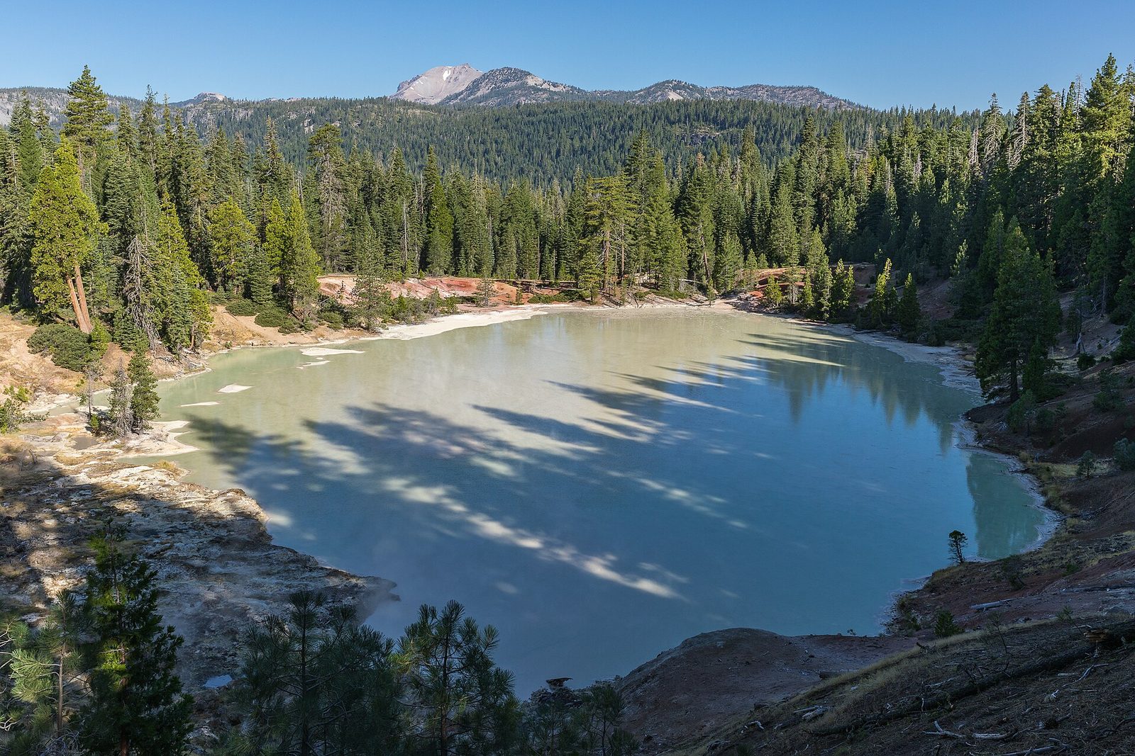
In the park’s southern corner, a gravel road from Chester leads to Warner Valley, a quiet green valley with a historic guest ranch. From there, one trail loops through the forest to Boiling Springs Lake, an eerie, milky lake that stays warm all year, heated by steam vents along its shore. Another follows the valley to Devils Kitchen, a hidden basin of mud pots and steam vents. Few visitors come this far.
- Distance: about 3 miles (4.8 km) loop to Boiling Springs Lake; about 4.2 miles (6.8 km) round trip to Devils Kitchen
- Allow: 2 hours for each
- Start: Warner Valley trailhead, at the end of Warner Valley Road from Chester
- When: June to October
- Suits: most walkers
9. Climb Brokeoff Mountain
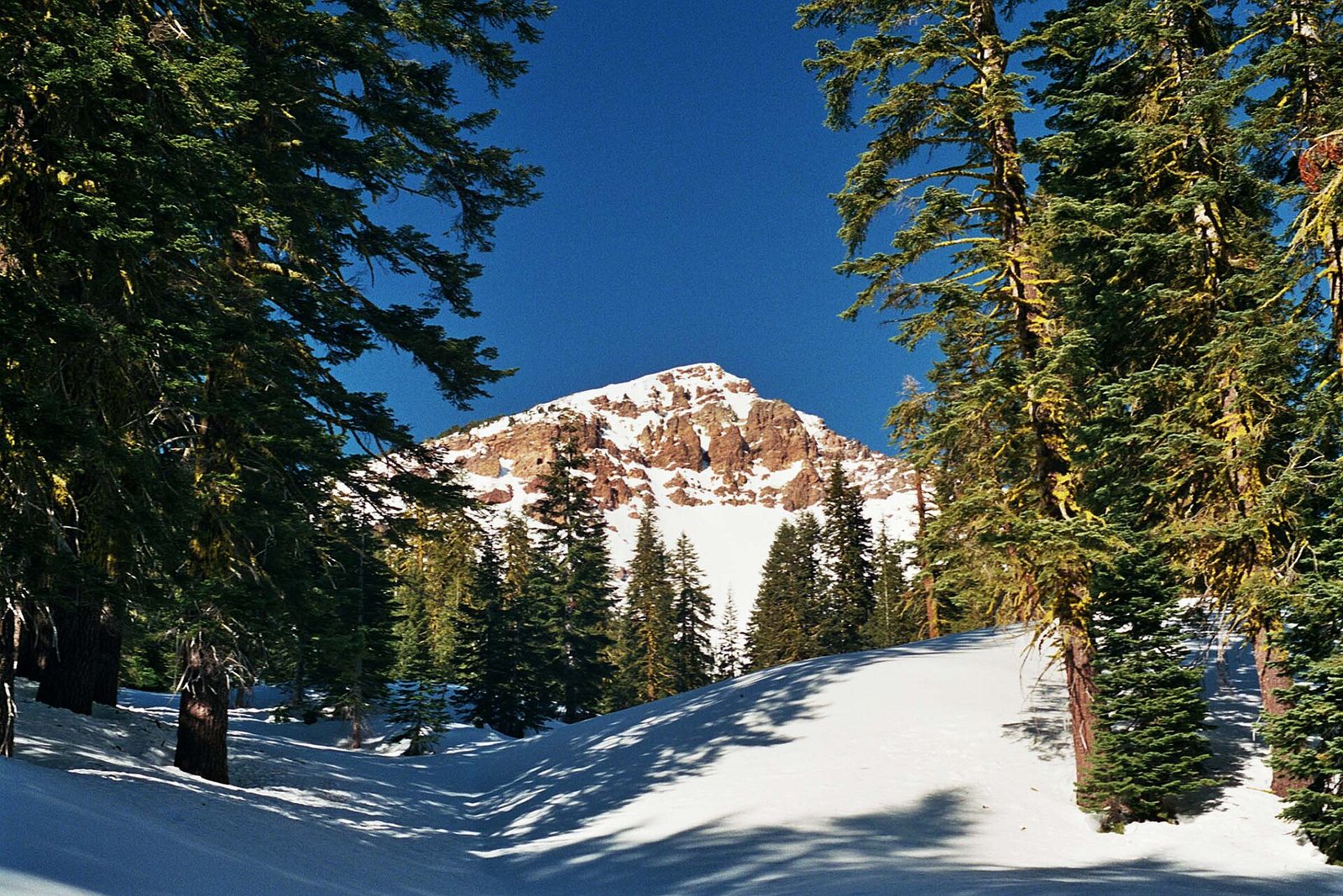
Brokeoff Mountain is the largest remnant of Mount Tehama, a huge volcano that once stood here and collapsed and eroded into the bowl that holds much of the park’s hydrothermal activity. The trail climbs through forest and meadows to its summit, the park’s second-highest, with one of the best views anywhere in the park: Lassen Peak straight across, Lake Helen below it and, on a clear day, Mount Shasta far to the north.
- Distance: about 7.4 miles (11.9 km) round trip
- Climb: about 2,600 feet (790 m)
- Allow: 5 to 6 hours
- Start: Brokeoff Mountain trailhead, on the park highway near the southwest entrance
- When: July to October
- Suits: fit hikers
10. Snowshoe in winter
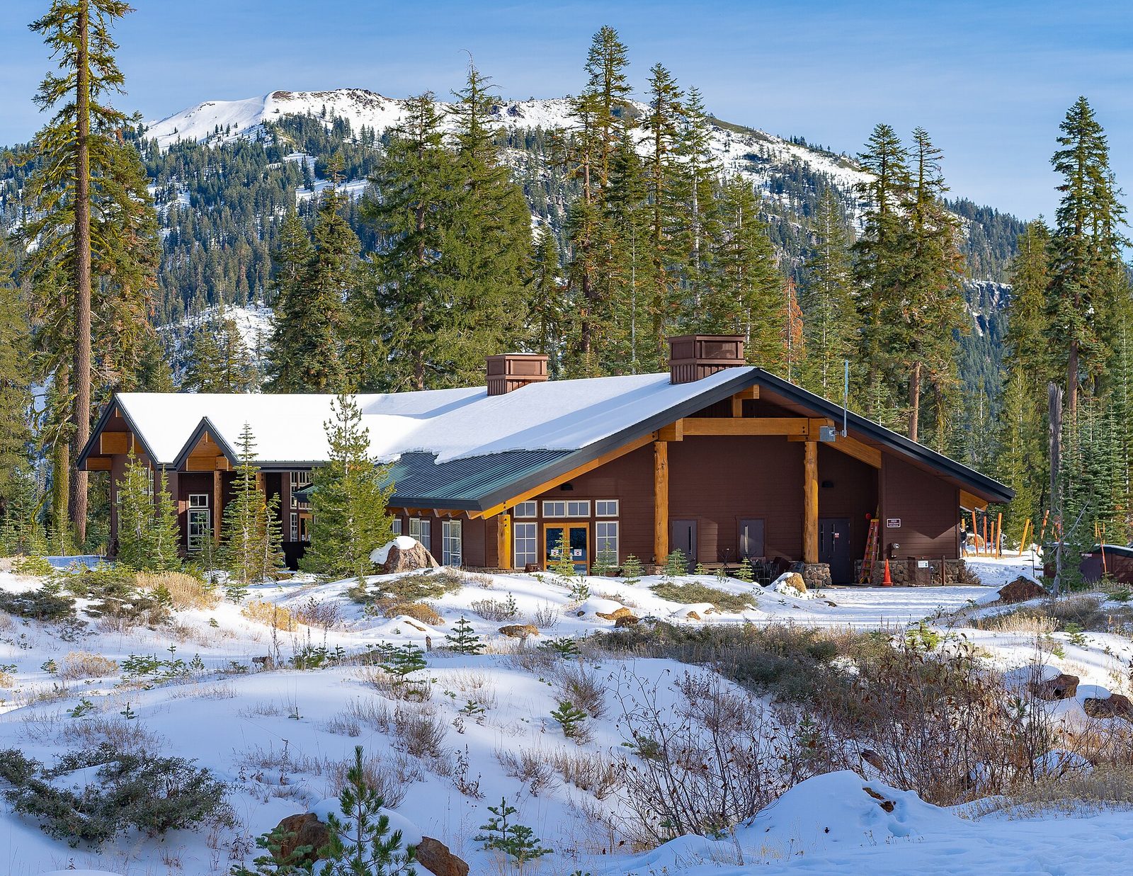
Lassen gets some of the heaviest snow in California, and in winter the closed park road becomes a route for snowshoers and cross-country skiers. From the Kohm Yah-mah-nee Visitor Center, open in winter, rangers lead snowshoe walks on many weekends, and the road beyond climbs toward Sulphur Works through deep, quiet snow. It is a very different park from the summer one, with few people in it.
- Allow: 2 to 3 hours
- Start: Kohm Yah-mah-nee Visitor Center, at the southwest entrance
- When: about December to April
- Suits: everyone
Before you go
This list covers what stays the same from year to year. Closures, road opening dates, snow on the trails and fire restrictions change, and the National Park Service posts them on its own site. The link is on our Lassen Volcanic National Park guide, with the map and how to get there.