

Top 9 things to do in Badlands National Park
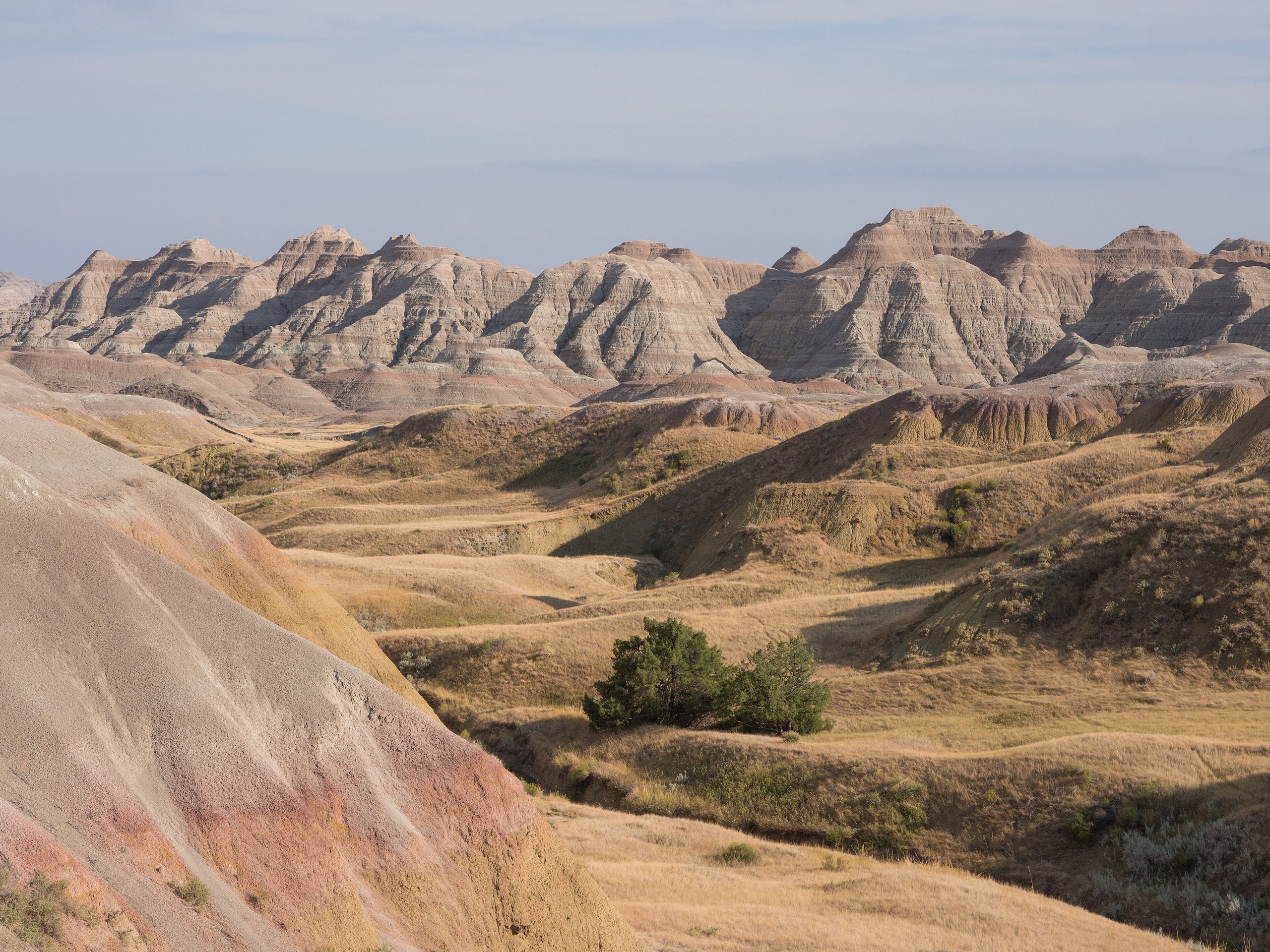
Badlands National Park is a wall of eroded clay and ash, banded in grey, tan, pink and yellow, that runs for 60 miles (100 km) across the South Dakota prairie, with one of the largest protected mixed-grass prairies in the country around it. Most visitors see it in a few hours from the loop road off Interstate 90. It is worth a full day, and the two ends of the day most of all. These are the nine outings we would put first. The order starts with what the park is known for, then goes by what an outing gives back for the time and effort it takes. Distances are National Park Service figures; times are our estimates and do not include stops.
There is almost no shade and very little drinking water outside the Cedar Pass area. Summer afternoons pass 100°F (38°C) and bring sudden thunderstorms with lightning and hail. Rain turns the clay to something like grease, on trails and on dirt roads alike. Prairie rattlesnakes are common: watch where you put your hands and feet, and stay out of tall grass.
1. Drive the Badlands Loop Road
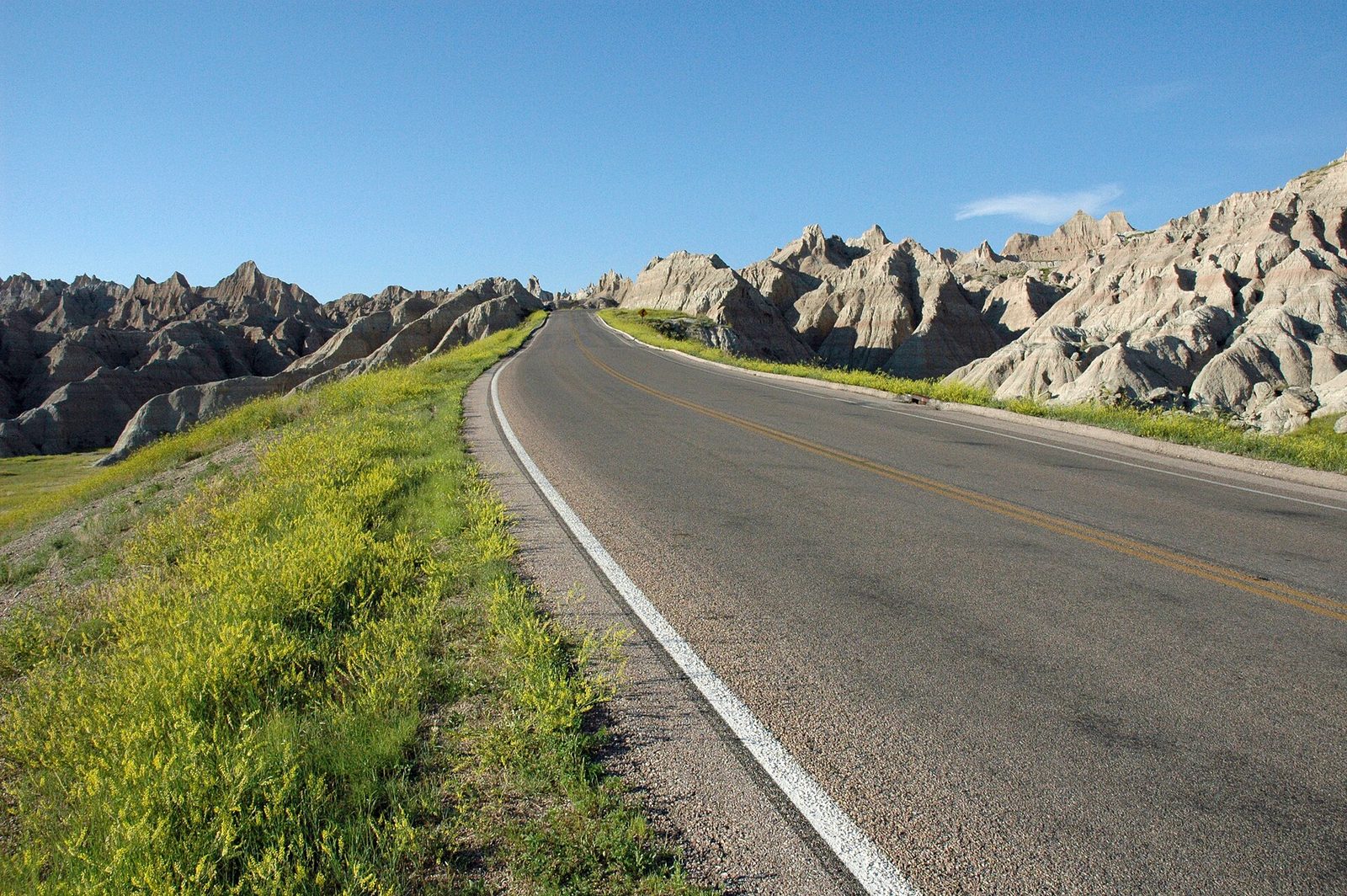
Highway 240 leaves Interstate 90 at one exit and rejoins it at another, 39 miles (63 km) on, and in between it runs along and through the Badlands Wall past more than a dozen overlooks. From the east, the road drops through the Wall at Cedar Pass, where the visitor center and most of the trails are, then climbs back to the rim and follows it west. Big Badlands Overlook, Panorama Point and Pinnacles Overlook have the widest views. At Yellow Mounds the hills are striped mustard, red and purple, the colours of an ancient soil. Bighorn sheep are often on the ledges near Pinnacles.
- Distance: 39 miles (63 km) between the two interstate exits
- Allow: 2 hours with brief stops; half a day with the short trails
- Start: the Northeast Entrance, from Exit 131, or the Pinnacles Entrance, from Exit 110 at Wall
- When: all year, though snow and ice close it briefly in winter
- Suits: everyone
2. Climb the ladder on the Notch Trail
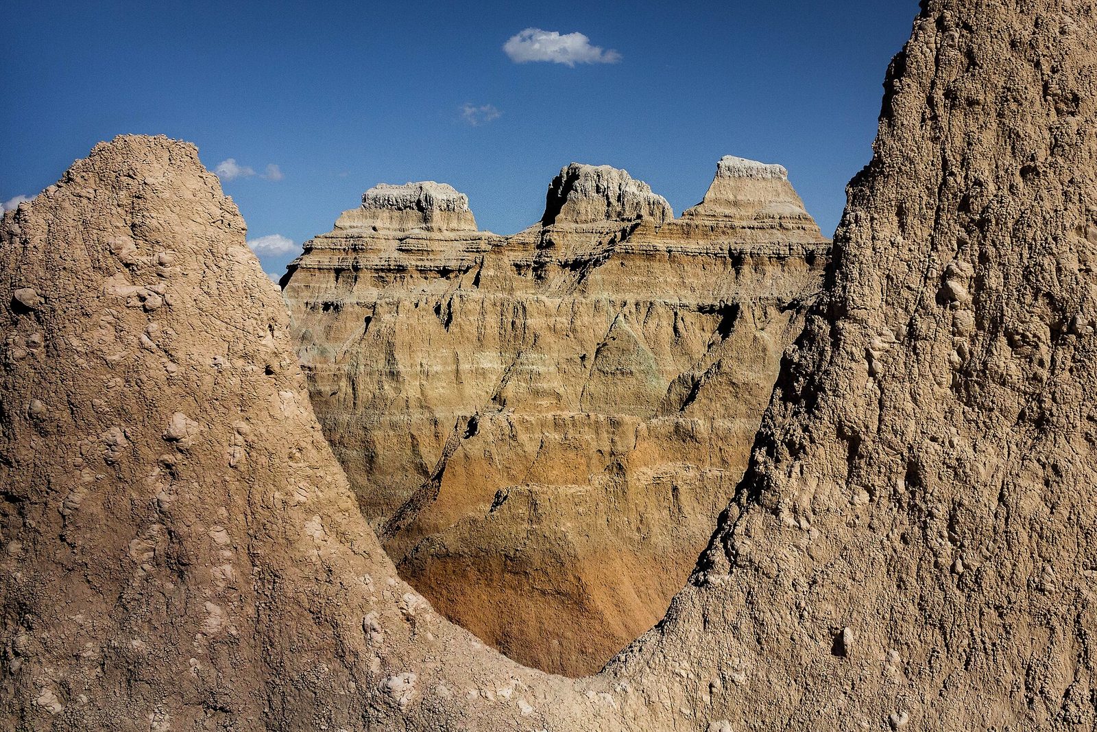
The Notch is the park’s best short hike and its one real adventure for most visitors. The trail wanders up a dry canyon, then climbs a ladder of logs strung on cables up a steep clay slope. From the top it follows a ledge along the canyon wall, with a drop beside it, to a gap in the Wall that looks out over the White River Valley and the Cliff Shelf below. Coming down the ladder is harder than going up, so face the rungs.
Do not go when the trail is wet or a storm is near. The ledge is slippery when damp, and people have fallen from it.
- Distance: 1.5 miles (2.4 km) round trip
- Climb: about 125 feet (38 m)
- Allow: 1 to 1.5 hours
- Start: Door and Window parking area, 2 miles (3.2 km) northeast of the visitor center
- When: April to October, in dry weather
- Suits: sure-footed walkers who are comfortable with heights
3. Walk through the Door and look out of the Window
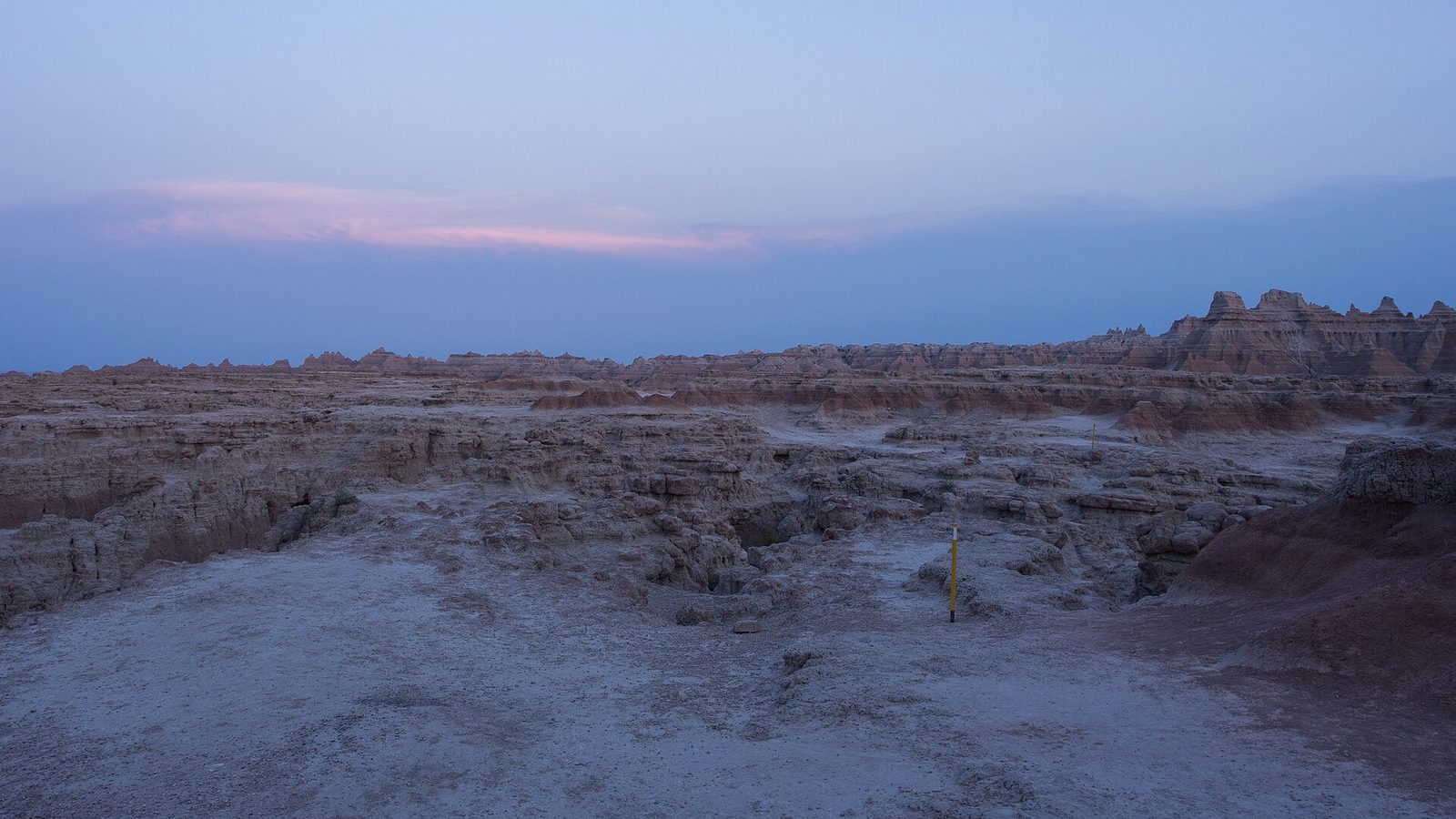
These two short trails start from the same parking area as the Notch and suit everyone. The Window is a few steps on a boardwalk to an opening in the Wall with a view into a canyon of sharp ridges. The Door is a longer boardwalk through a natural gap to the far side, where it ends at a viewing deck. Beyond the deck you may carry on across the bare, cracked clay itself, following numbered yellow posts, into a landscape with nothing growing in it. Carry water and note the way back: every ridge looks alike.
- Distance: 0.25 miles (0.4 km) round trip for the Window; 0.75 miles (1.2 km) round trip for the Door, of which the first quarter-mile (400 m) is boardwalk
- Allow: 45 minutes for both
- Start: Door and Window parking area
- When: all year; sunrise at the Door is a favourite of photographers
- Suits: everyone on the boardwalks, including wheelchair users
4. Be on the rim at sunrise or sunset
At midday the Badlands look pale and flat. In the first and last hour of light the low sun picks out every band of colour and every gully, the shadows give the ridges depth, and the place becomes a different park. For sunrise, go to Big Badlands Overlook or the Door, both facing east over the formations. For sunset, Pinnacles Overlook and Conata Basin Overlook look west along the Wall with the prairie behind. Stay half an hour after the sun goes: the colour is often best then.
- Allow: 1 hour
- Start: Big Badlands Overlook, just inside the Northeast Entrance, or Pinnacles Overlook, near the Pinnacles Entrance
- When: all year
- Suits: everyone
5. Look for bison and prairie dogs on the Sage Creek Rim Road
West of Pinnacles Overlook the pavement ends and a gravel road follows the rim of the Badlands Wilderness, where the park’s herd of more than 1,000 bison lives. They are often beside the road or on it, along with pronghorn, bighorn sheep and coyotes. At Roberts Prairie Dog Town, about 5 miles (8 km) in, hundreds of black-tailed prairie dogs bark from their mounds across acres of cropped grass, and burrowing owls nest in old holes. Black-footed ferrets, among the rarest mammals in North America, were returned to this prairie and hunt the dog towns at night.
Stay at least 100 feet (30 m) from bison and wait for them to move off the road. Do not feed or touch the prairie dogs, whose fleas can carry plague.
- Distance: about 5 miles (8 km) of gravel from the pavement to the prairie dog town; the road runs on for about 12 miles (19 km) more
- Allow: 1 to 2 hours
- Start: Sage Creek Rim Road, from the Badlands Loop Road just south of the Pinnacles Entrance
- When: May to October, in dry weather; early morning and evening for animals
- Suits: everyone. Ordinary cars manage the road when it is dry.
6. See the fossils
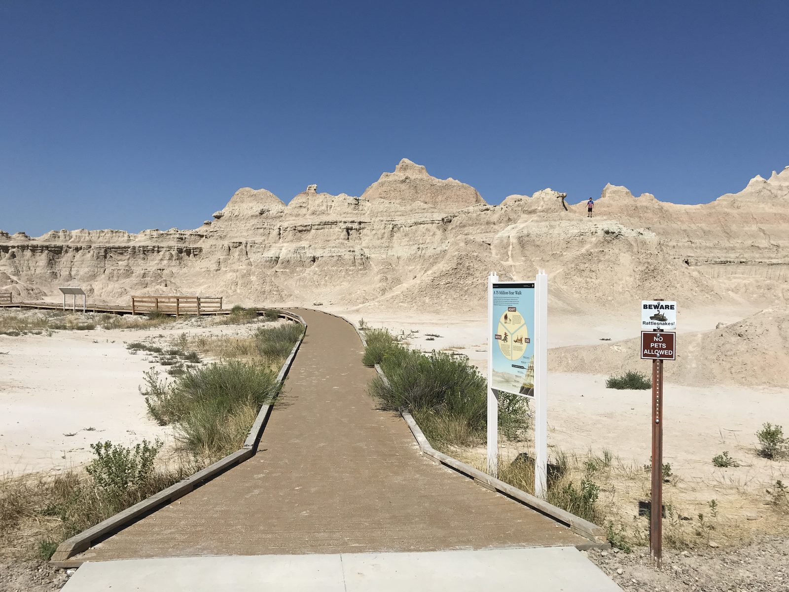
These hills hold one of the richest beds of mammal fossils in the world, from about 30 million years ago, when this was a warm plain with rhinoceroses, three-toed horses and sabre-toothed cats. The Fossil Exhibit Trail is a short boardwalk with touchable bronze casts of what has been found here and what the animals looked like. At the Ben Reifel Visitor Center, a working laboratory is open in summer, and you can watch technicians clean real bones and ask them questions. Visitors still find fossils weathering out of the clay. If you do, leave it where it is and tell a ranger.
- Distance: a boardwalk loop of 0.25 miles (0.4 km)
- Allow: 1 hour with the visitor center
- Start: Fossil Exhibit Trail, on the loop road 5 miles (8 km) west of the visitor center
- When: all year; the laboratory is open in summer
- Suits: everyone, including wheelchair users
7. Walk the Cliff Shelf loop
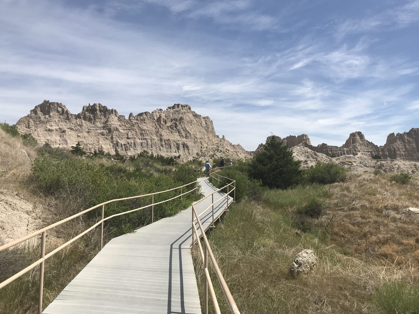
Partway down the Wall, a block of the cliff slumped long ago and left a shelf that holds water. The result is a patch of juniper woods and, in wet years, a small pond, in the middle of bare clay. A boardwalk with stairs loops through it, climbing to a deck with a view over the White River Valley. It is the one shaded walk in the park, and mule deer and bighorn sheep come to it for the same reason people do.
- Distance: a loop of 0.5 miles (0.8 km)
- Climb: about 200 feet (60 m), on stairs
- Allow: 30 minutes
- Start: Cliff Shelf parking area, 0.5 miles (0.8 km) north of the visitor center. The lot is too small for long vehicles.
- When: all year
- Suits: most walkers who can manage stairs
8. Hike the Castle Trail across the prairie
The Castle Trail is the park’s longest, running along the north foot of the Wall between the Door and Window parking area and the Fossil Exhibit Trail. It is nearly level, crossing open grassland and passing in and out of low badlands of spires and tables. For a half day, start at the Saddle Pass trailhead, climb the short, very steep pass to join it, and make a loop with the Medicine Root Trail through the prairie. In May and June the grass is green and full of wildflowers, and you will meet few people at any time.
- Distance: 5 miles (8 km) one way for the Castle Trail; about 4.5 miles (7.2 km) for the Saddle Pass and Medicine Root loop
- Allow: 2.5 to 5 hours
- Start: Saddle Pass trailhead, on the loop road 2 miles (3.2 km) west of the visitor center, or either end of the Castle Trail
- When: April to June and September to October. There is no shade and no water.
- Suits: steady walkers
9. Stay for the night sky
The nearest city of any size is more than an hour away, and on a clear, moonless night more than 7,000 stars are visible here, with the Milky Way bright enough to see its dark lanes. In summer, rangers hold a night sky program at the Cedar Pass Campground amphitheatre, with telescopes set up afterwards, and the park holds an astronomy festival each July. The Badlands are also one of the few parks where you may walk off the trail and camp in the backcountry without a permit, so a night out under this sky is easy to arrange.
- Allow: an evening
- Start: Cedar Pass Campground amphitheatre, or any overlook
- When: all year around the new moon; ranger programs run from about late May to September
- Suits: everyone
Before you go
This list covers what stays the same from year to year. Road conditions, storm warnings and program schedules change, and the National Park Service posts them on its own site. The link is on our Badlands National Park guide, with the map, passes and how to get there.