

Top 12 things to do in Great Smoky Mountains National Park
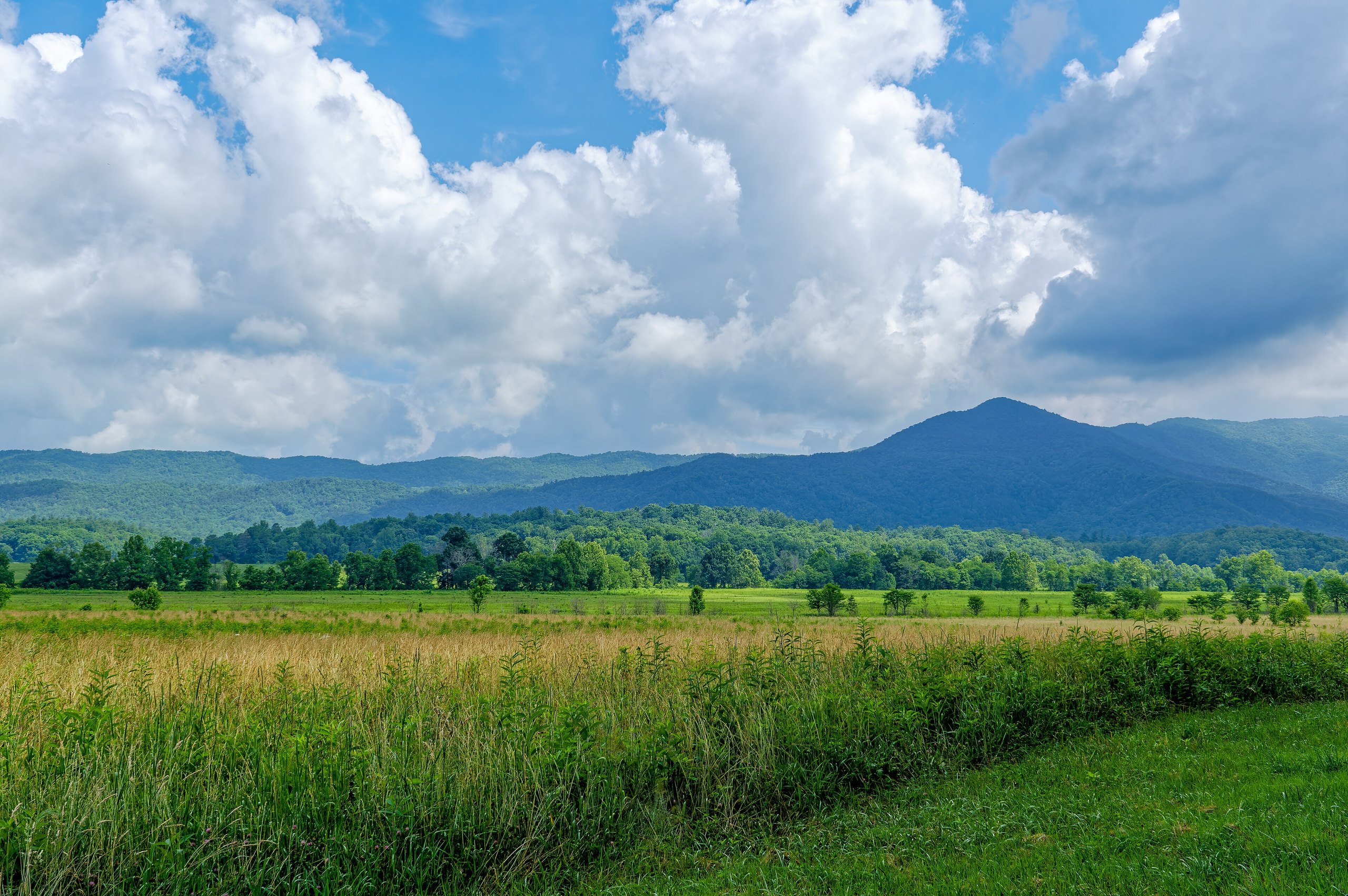
Great Smoky Mountains is the most visited national park in the United States, and it has no entrance fee. It straddles the Tennessee and North Carolina line, with one road over the crest and most of its best-known places an hour or more apart. These are the twelve outings we would put first. The order starts with what the park is known for, then goes by what an outing gives back for the time and effort it takes. Distances are National Park Service figures; times are our estimates for a steady walker and do not include stops.
You need a parking tag to leave a vehicle anywhere in the park for more than 15 minutes. Black bears live throughout it: stay at least 50 yards (46 m) from bears and elk, and never leave food or a pack unattended.
1. Drive or cycle the Cades Cove loop
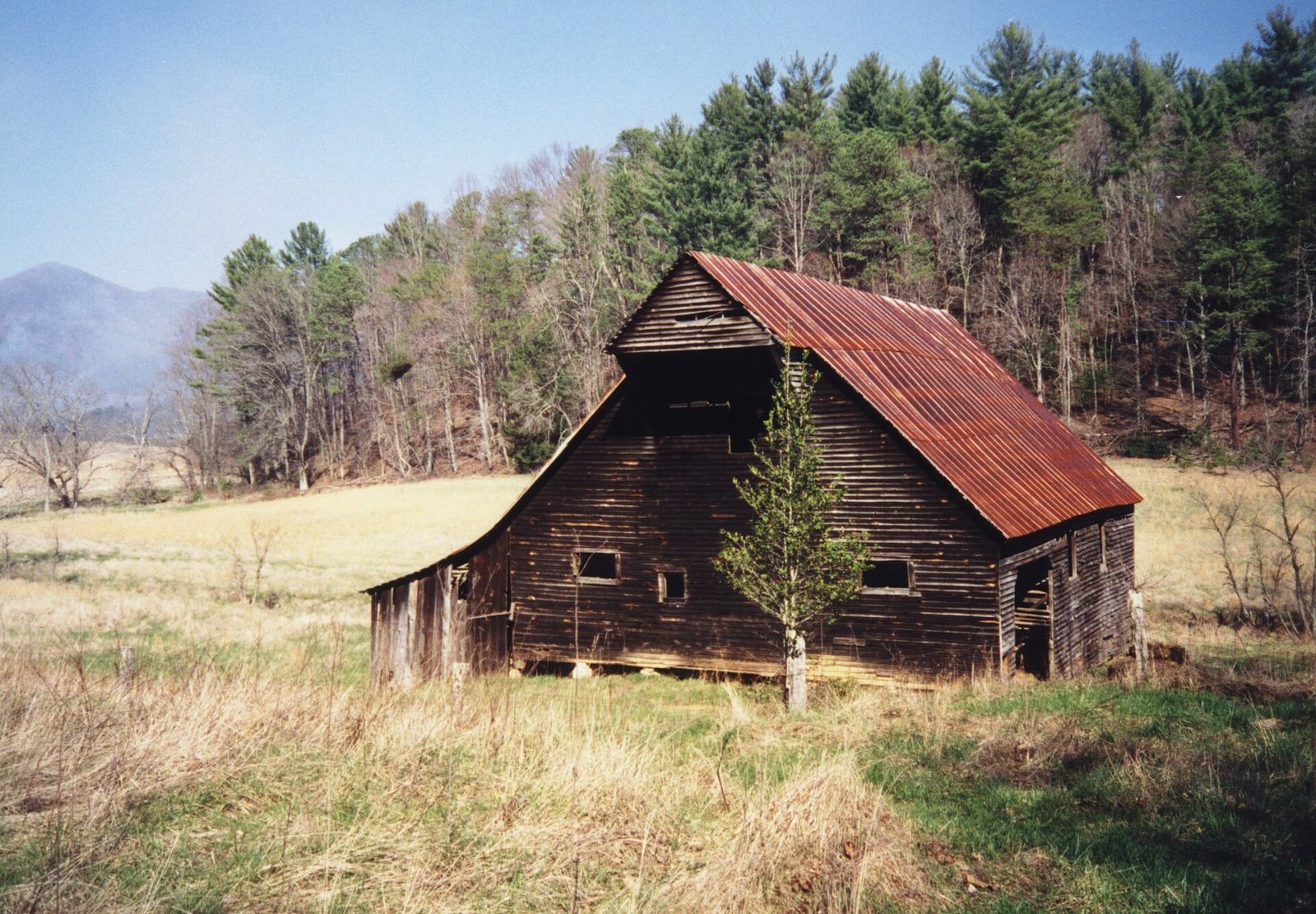
Cades Cove is a broad, flat valley ringed by mountains, farmed for more than a century before the park was created. A one-way road loops around it past log homesteads, three churches and a working gristmill, and the open fields make it the best place in the park to see deer, wild turkeys and black bears. It draws more than two million visitors a year, so traffic on the loop is slow by late morning. Be at the gate at sunrise.
On Wednesdays from about May through September the road is closed to vehicles all day and belongs to cyclists and walkers. Halfway around, a trail leads 2.5 miles (4 km) to Abrams Falls, a short drop with a heavy flow. People have drowned in the pool below it, so stay out of the water.
- Distance: an 11-mile (18 km) one-way loop; 5 miles (8 km) round trip on foot to Abrams Falls
- Allow: 2 to 4 hours for the loop, a full day with the falls
- Start: Cades Cove, at the end of Laurel Creek Road, about an hour from Gatlinburg
- When: all year, sunrise to sunset. Early morning and evening are best for wildlife.
- Suits: everyone. Campers at Cades Cove Campground can be on the loop before the traffic arrives.
2. Walk up to the tower on Kuwohi
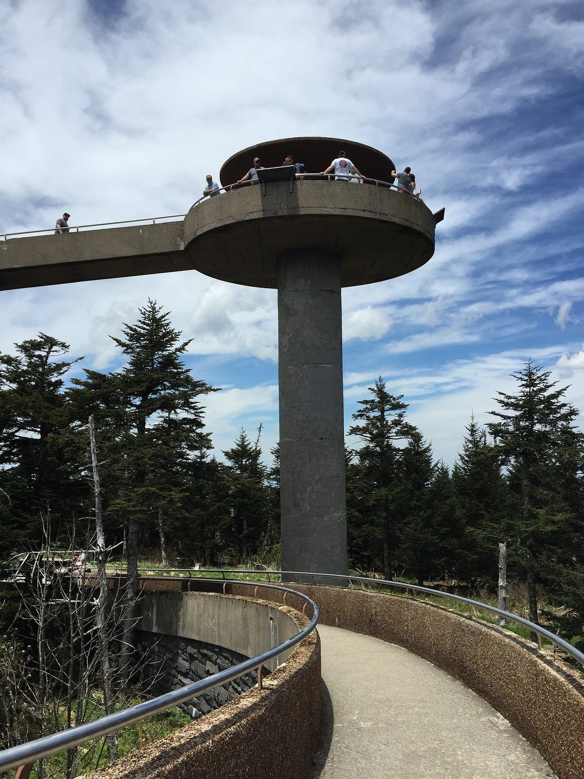
Kuwohi, known as Clingmans Dome until the Cherokee name was restored in 2024, is the highest point in the park and on the whole Appalachian Trail at 6,643 feet (2,025 m). A 7-mile (11 km) road climbs to a parking area just below the top. From there a paved path goes up to a concrete observation tower with a spiral ramp and a view over the spruce and fir forest in every direction. The path is short but steep, with benches along it.
The summit is often 10 to 20°F (6 to 11°C) cooler than the valleys and is in cloud on many days, so bring a jacket in midsummer and go on a clear morning if you can choose.
- Distance: half a mile (800 m) each way, paved and steep
- Allow: 1 hour on foot, plus the drive from Newfound Gap
- Start: Kuwohi parking area, at the end of Kuwohi Road off Newfound Gap Road
- When: April through November. The road is closed in winter, and at other times in snow and ice.
- Suits: most visitors. The grade is too steep for wheelchairs.
3. Hike the Alum Cave Trail
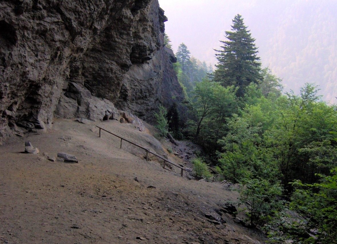
This is the most popular hike in the park. The trail follows a creek through forest, passes through Arch Rock on a stone staircase, and climbs to Alum Cave Bluffs, an overhanging cliff with long views down the valley. That is a good day in itself. Beyond the bluffs the trail steepens and runs along ledges fitted with cable handholds to the top of Mount Le Conte, where LeConte Lodge has taken in hikers since 1925.
The ledges ice up from late fall to early spring, and the trailhead lots fill early on fine days.
- Distance: 4.6 miles (7.4 km) round trip to the bluffs; 10 miles (16.1 km) round trip to Mount Le Conte
- Allow: 2.5 to 3.5 hours to the bluffs; 6 to 8 hours to the summit
- Start: Alum Cave Trailhead on Newfound Gap Road, 6.8 miles (10.9 km) south of Sugarlands Visitor Center
- When: April to November for most hikers
- Suits: the bluffs suit most walkers; the summit is a long, steep day
4. Cross the crest on Newfound Gap Road
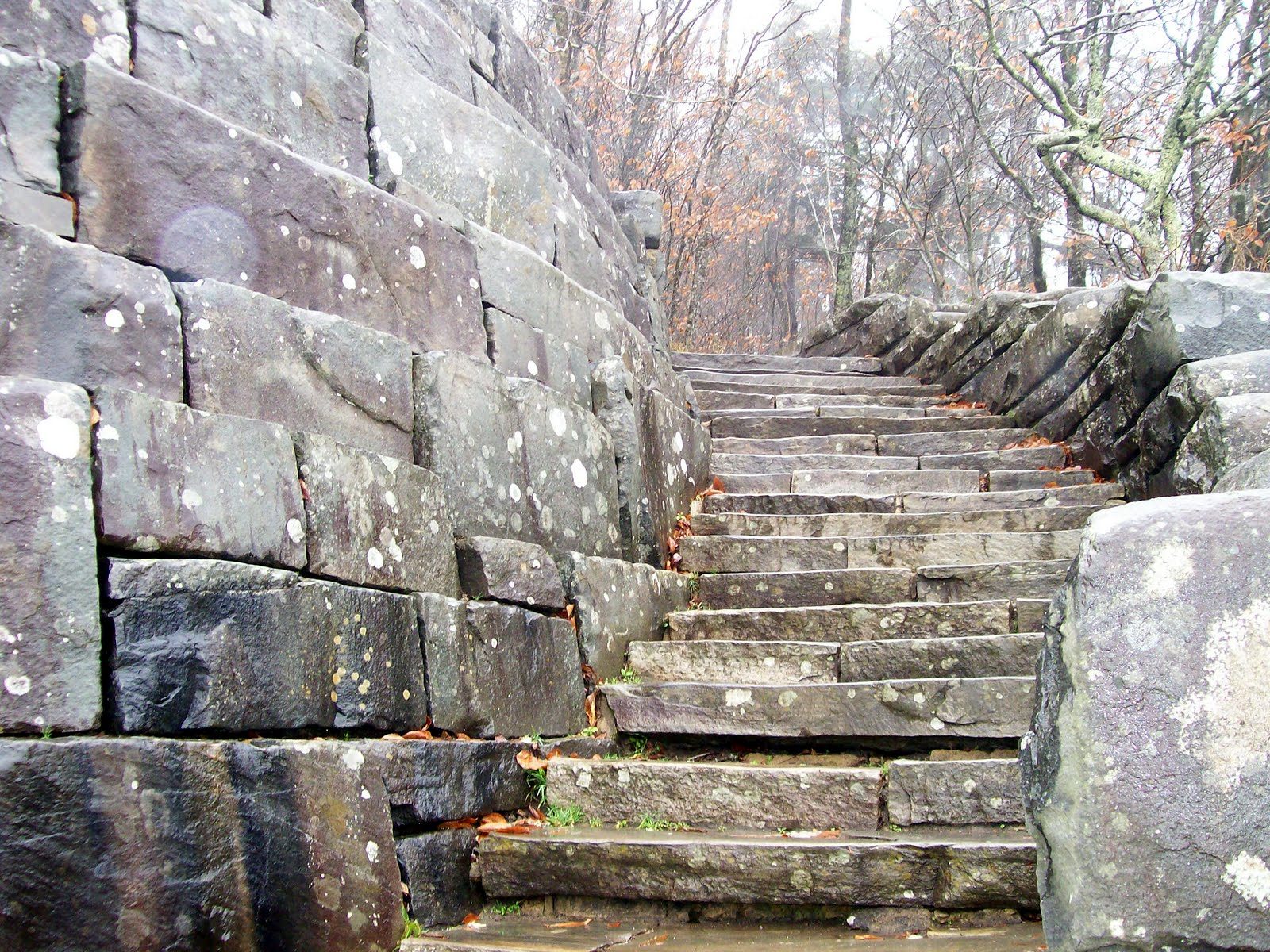
US-441 is the one road across the park, from Gatlinburg to Cherokee, and driving it takes you from hardwood forest through to the spruce and fir of the crest. Newfound Gap, the pass at the top, sits on the state line at 5,048 feet (1,539 m). The Appalachian Trail crosses the parking area, and Franklin D. Roosevelt dedicated the park from the stone memorial there in 1940. Pull-offs on both sides give the long views of blue ridges that the mountains are named for.
- Distance: about 30 miles (50 km) between the Sugarlands and Oconaluftee visitor centers
- Allow: 1 hour without stops; half a day with them
- Start: Sugarlands Visitor Center near Gatlinburg, or Oconaluftee Visitor Center near Cherokee
- When: all year, though the road closes in snow and ice. Fall colour at the middle elevations peaks in mid to late October.
- Suits: everyone
5. Walk behind Grotto Falls
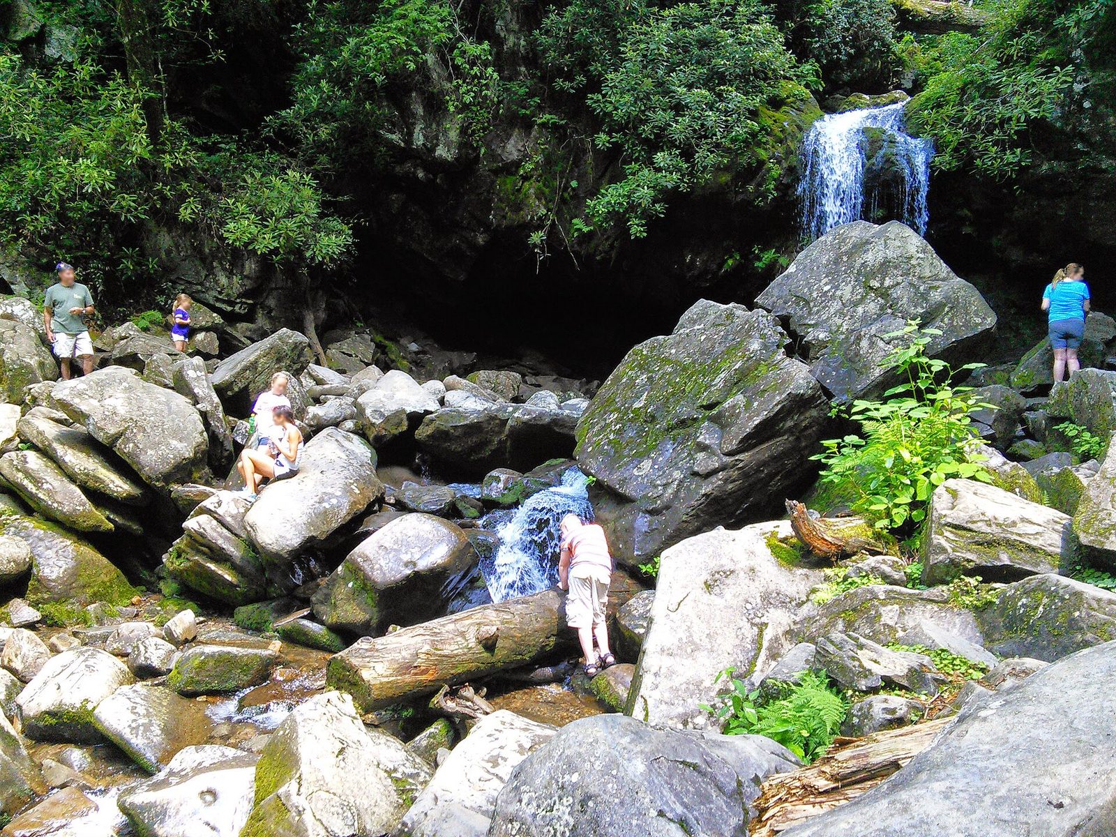
The Trillium Gap Trail climbs gently through hemlock forest to a 25-foot (8 m) waterfall, then passes behind it under a rock overhang, which no other trail in the park does. The same path carries the llama trains that supply LeConte Lodge. The trailhead is on the Roaring Fork Motor Nature Trail, a narrow one-way road past old homesteads and fast streams that is worth the drive on its own.
- Distance: 2.6 miles (4.2 km) round trip; the road is 5.5 miles (8.9 km) one way
- Allow: 1.5 to 2 hours on foot, and an hour for the road
- Start: Trillium Gap Trailhead on the Roaring Fork Motor Nature Trail, from Gatlinburg
- When: spring through fall. The road is closed to vehicles in winter. April and May bring trillium and the heaviest flow.
- Suits: families. The rock behind the falls is wet and slippery.
6. Watch elk in Cataloochee
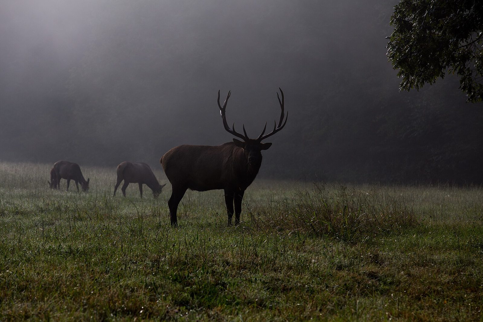
Elk were hunted out of these mountains by the mid-1800s. The Park Service brought 25 back to this valley in 2001, and the herd now grazes its fields around dawn and dusk. In late September and October the bulls bugle and spar during the rut, and the fields themselves are then closed to people on foot: watch from the roadside. The valley also keeps two churches, a school and several houses from the community that lived here before the park.
Cataloochee is on the park’s quiet eastern edge, reached by a narrow, winding road that is gravel for part of the way.
- Allow: half a day, timed to end at dusk or begin at dawn
- Start: Cataloochee Valley, from Interstate 40 in North Carolina
- When: all year; late September and October for the rut
- Suits: anyone with binoculars and patience. Stay 50 yards (46 m) back.
7. Follow the Appalachian Trail to Charlies Bunion
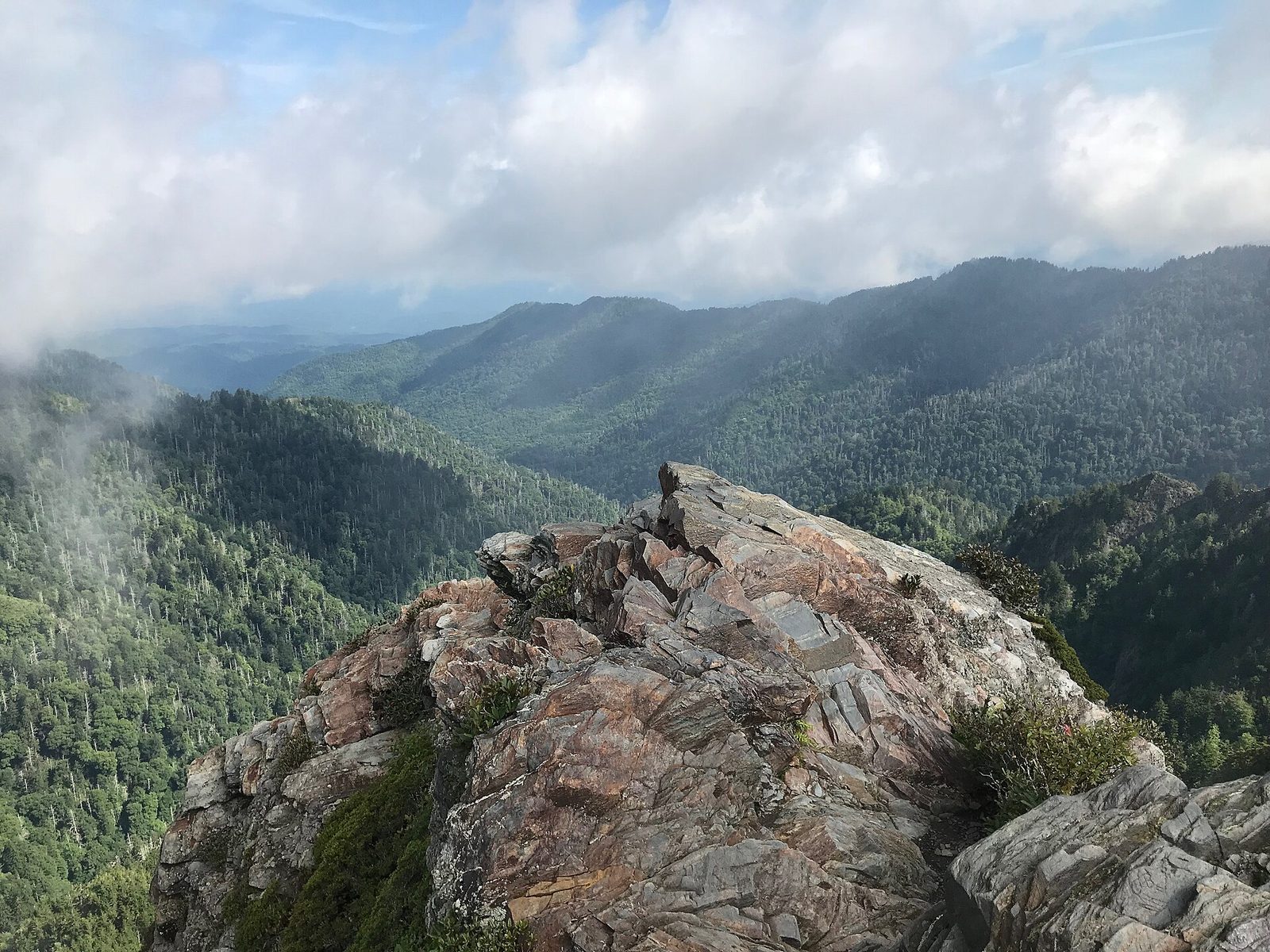
From Newfound Gap the Appalachian Trail heads east along the crest, climbing through spruce and fir with views to both states, past the Icewater Spring Shelter to a bare rock outcrop above a steep drop. Open rock is rare in these forested mountains, and the view from it runs over ridge after ridge to the north. The trail is rocky and rooted.
- Distance: 8 miles (12.9 km) round trip
- Allow: 4 to 5 hours
- Start: Newfound Gap parking area
- When: April to November. Ice lasts on the crest well into spring.
- Suits: hikers who want a ridge walk and a taste of the Appalachian Trail. Keep children close at the outcrop.
8. Picnic on Andrews Bald
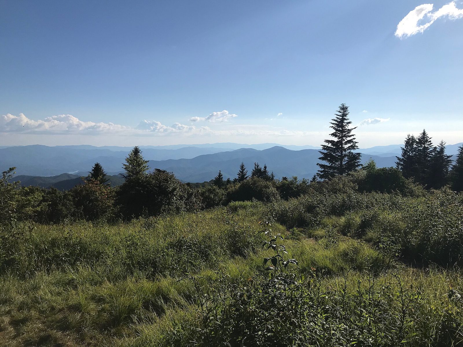
A bald is a mountaintop meadow, and how the Smokies’ balds came to be is still debated. Andrews Bald is the highest of them, at 5,920 feet (1,804 m), and one of two the Park Service keeps open by cutting back the forest. The Forney Ridge Trail drops to it from the Kuwohi parking area over stone steps. In June the flame azaleas and Catawba rhododendrons around the meadow are in flower. Remember that the climb comes on the way back.
- Distance: 3.6 miles (5.8 km) round trip
- Allow: 2 to 2.5 hours
- Start: Forney Ridge Trailhead, at the Kuwohi parking area
- When: April through November, while Kuwohi Road is open; June for flowers
- Suits: families, and anyone pairing a hike with the Kuwohi tower
9. Climb to the Chimney Tops overlook
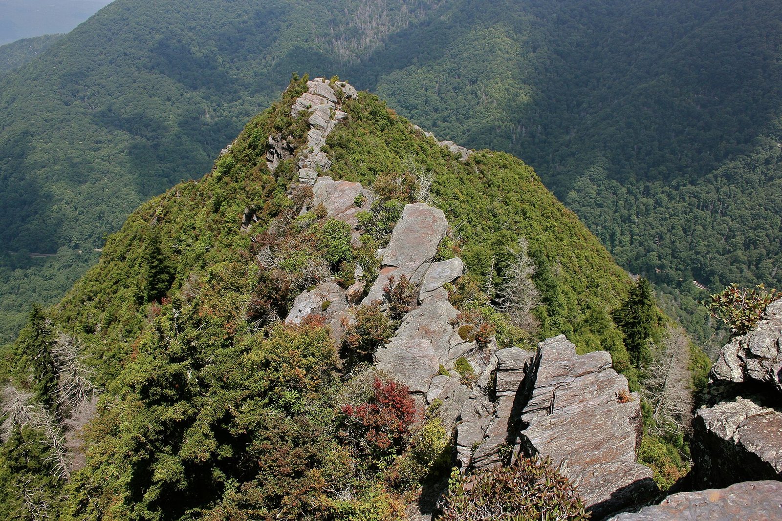
This is one of the steepest trails in the park: it gains about 1,400 feet (430 m) in under 2 miles (3.2 km), much of it on stone steps, after an easy start over footbridges. The reward is a close view of the twin rock spires of the Chimney Tops. The trail ends at an overlook a quarter-mile short of the pinnacles, which were badly burned in the wildfire of November 2016 and are closed beyond that point.
- Distance: 3.5 miles (5.6 km) round trip
- Climb: about 1,400 feet (430 m)
- Allow: 2.5 to 3.5 hours
- Start: Chimney Tops Trailhead on Newfound Gap Road
- When: spring through fall
- Suits: fit hikers short on time. The descent is hard on knees.
10. Visit the Mountain Farm Museum and Mingus Mill
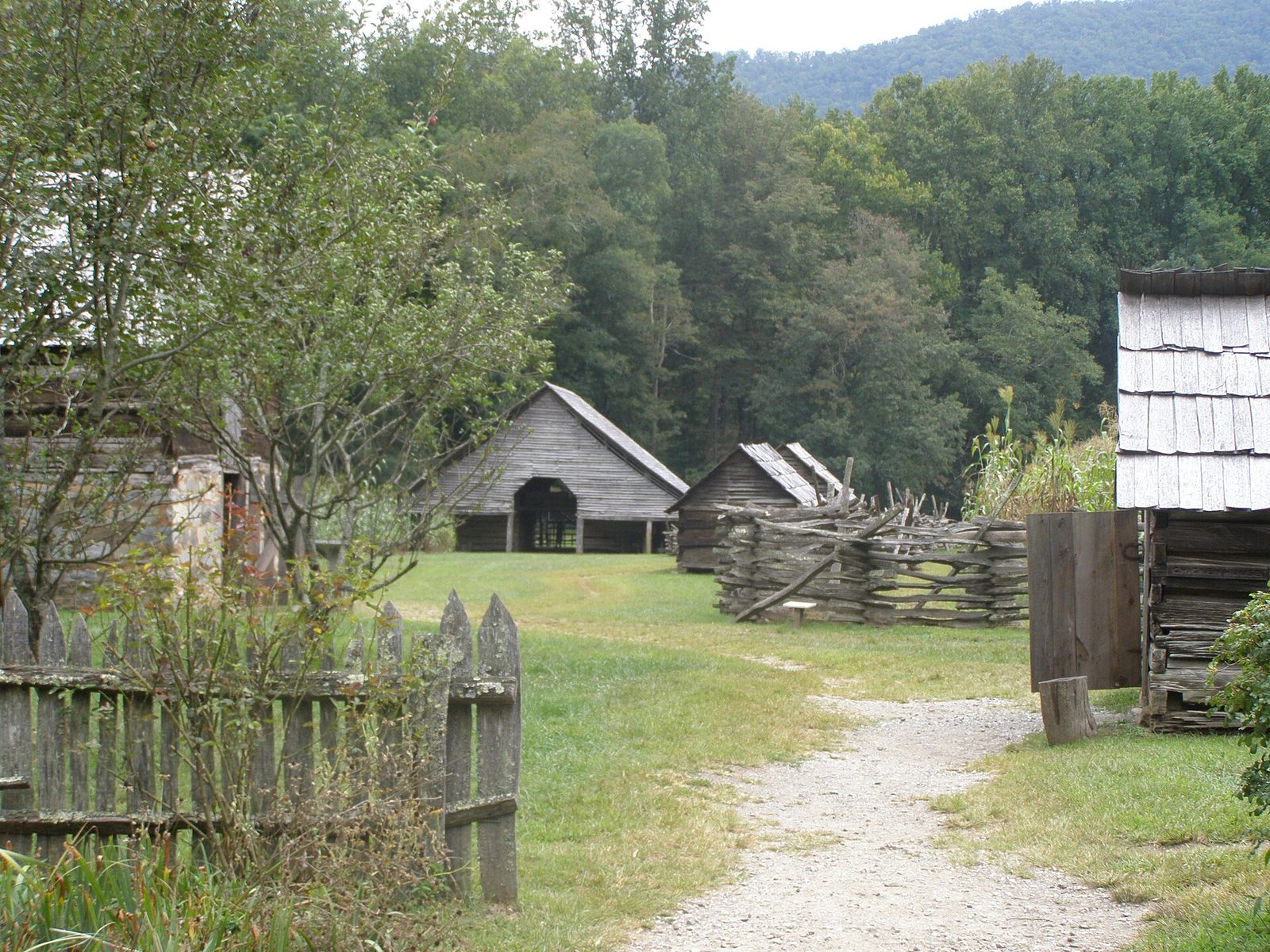
On the North Carolina side, beside the Oconaluftee Visitor Center, the Park Service has gathered 19th-century log buildings from around the mountains into a working farmstead: a house, a barn, an apple house, a springhouse and a blacksmith shop. About a mile (1.6 km) up the road, Mingus Mill, built in 1886, grinds corn with a water-powered turbine where most mills of its time used a wheel. Elk often graze the fields beside the visitor center in the morning and evening.
- Allow: 1.5 to 2 hours for both
- Start: Oconaluftee Visitor Center, on Newfound Gap Road near Cherokee
- When: the farm is open all year; the mill runs from spring through fall
- Suits: everyone, and a good stop with children or on a wet day
11. See the synchronous fireflies at Elkmont
For about two weeks around the start of June, one species of firefly at Elkmont flashes in unison: bursts of light across the forest floor, then darkness, then light again. It is one of very few places in North America where this happens. The Park Service controls access during the peak with a lottery for vehicle passes, which opens in late April; about 120 vehicles get in each night. Campers with a site at Elkmont Campground on those dates can walk to the viewing area.
- Allow: an evening, from dusk
- Start: Elkmont, off Little River Road west of Sugarlands Visitor Center
- When: late May to early June; the dates move a little each year with the weather
- Needs: a pass from the lottery, or a campsite at Elkmont. Cover flashlights with red film and keep them pointed at the ground.
12. Hike to Ramsey Cascades
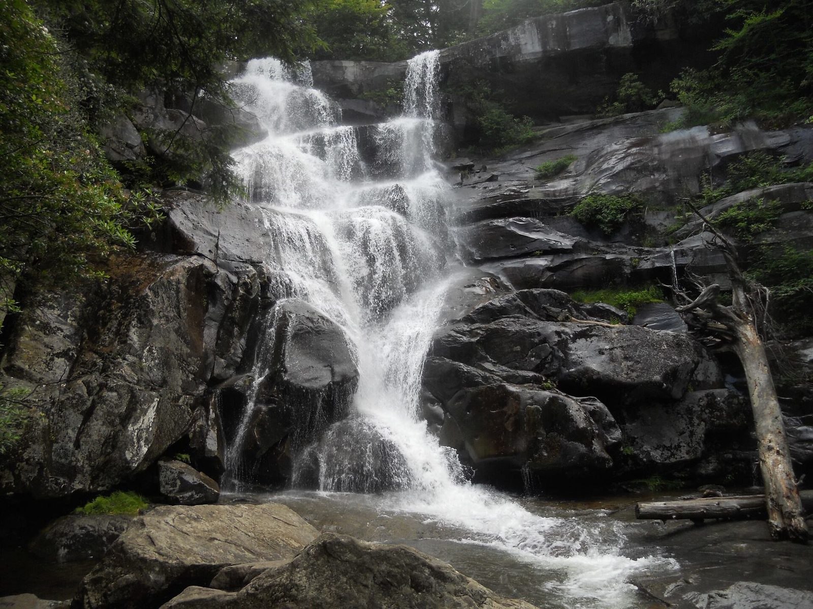
The tallest waterfall in the park drops about 100 feet (30 m) over a staircase of rock ledges, and getting to it is the hardest outing on this list. The trail starts on an old gravel road, then narrows and climbs steadily for the last 2 miles (3 km) through old-growth forest of tulip trees, silverbells and yellow birches that was never logged. Greenbrier, the valley it starts from, sees a fraction of the traffic of the main road. People have died climbing on the rocks at the falls. Stay at the base.
- Distance: 8 miles (13 km) round trip
- Climb: more than 2,100 feet (640 m)
- Allow: 5 to 7 hours
- Start: Ramsey Cascades Trailhead in Greenbrier, east of Gatlinburg
- When: April to October; spring for the heaviest flow
- Suits: experienced hikers who want old forest and few people
Before you go
This list covers what stays the same from year to year. Road and trail closures, firefly dates and bear warnings change, and the National Park Service posts them on its own site. The link is on our Great Smoky Mountains National Park guide, with the map, parking tags and how to get there.