

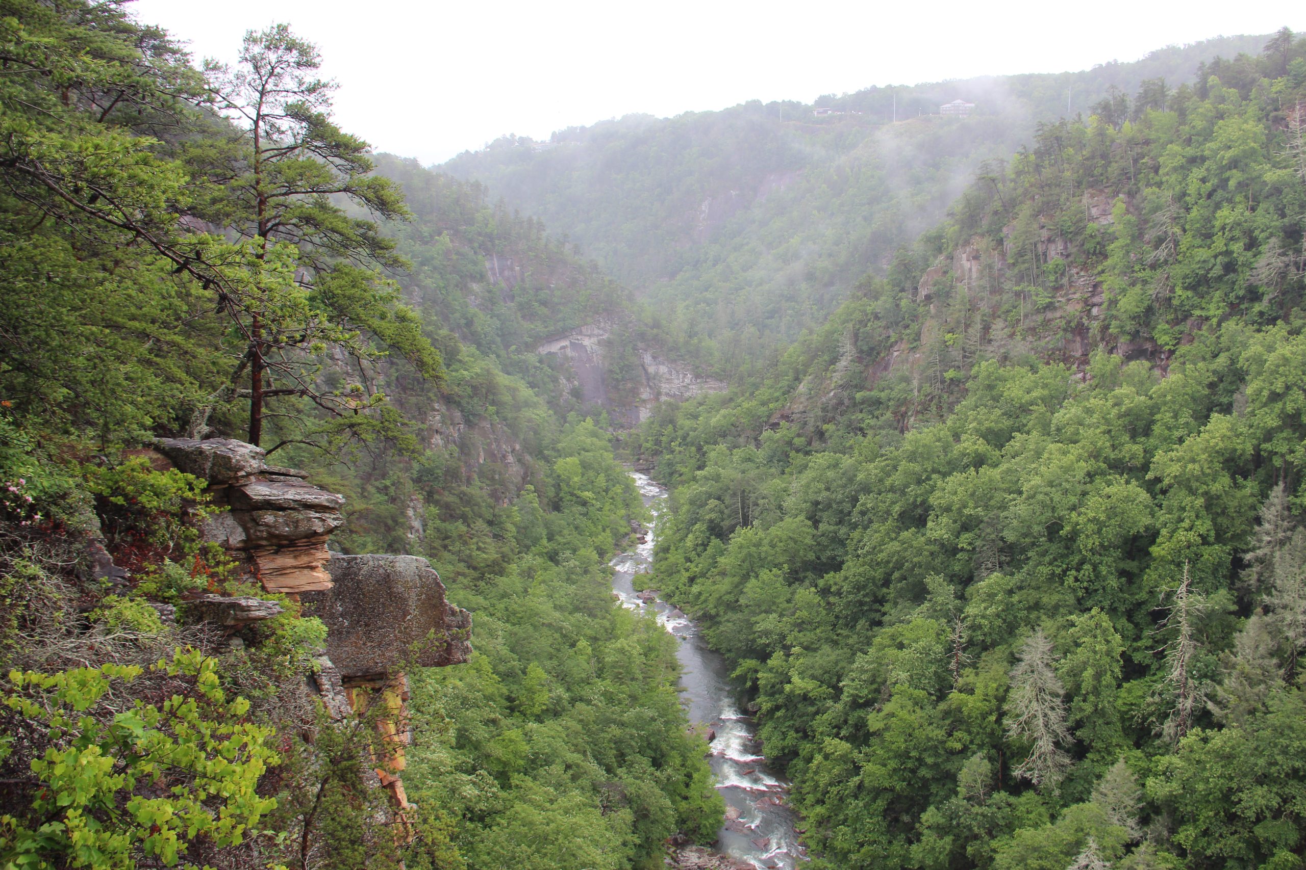
Tallulah Gorge State Park
Fast facts
- Size: about 2,700 acres (11 km²)
- The gorge: two miles (3 km) long and nearly 1,000 feet (300 m) deep
- Waterfalls: a chain of falls where the Tallulah River drops about 500 feet (150 m) in a mile (1.6 km)
- Trails: more than 20 miles (32 km), including a 1.7-mile (2.7 km) paved rail trail
- Camping: 52 campsites reached by car and two backcountry shelters
- Established: 1993
- Managed by: Georgia State Parks, with Georgia Power
The landscape
The Tallulah River has cut one of the deepest gorges in the eastern United States through hard quartzite at the southern edge of the Blue Ridge. For two miles (3 km) the walls drop almost 1,000 feet (300 m), and on the floor the river falls over a chain of waterfalls: L’Eau d’Or, Tempesta, Hurricane, Oceana and Bridal Veil. Pine and oak cling to the rim, and the cool, shaded walls shelter rare plants and animals, among them the persistent trillium and the green salamander.
The river is not wild. A dam built just upstream in 1913 sends most of the water through a tunnel to a powerhouse, so on an ordinary day the falls carry a fraction of their old flow. On scheduled weekends in spring and fall the dam releases far more, and the gorge roars as it did when Tallulah Falls was a Victorian resort town reached by railway. Two steel towers on the rim are left from Karl Wallenda’s tightrope walk across the gorge in 1970.
Best time to go
Spring and fall are the best seasons: cool enough for the stairs, with wildflowers in April and colour from late October into November. The scheduled water releases fall in the same months, whitewater weekends in early April and in November and smaller aesthetic releases on other spring and fall weekends; the gorge floor is closed on all of them. Summer is hot and humid, and gorge floor permits often run out early on busy days. The park is open all year from 8 a.m. to dark.
Getting there and around
The park lies on both sides of US Highway 441, which crosses the river on the dam. Start at the Jane Hurt Yarn Interpretive Center on the north rim, where permits are issued and the rim trails begin; it has exhibits, a film and a gift shop. The campground and a lake with a sand beach are close by. Overlooks on the south rim are reached on foot across the dam or by a short drive.
Things to do
The North and South Rim trails are short, mostly easy walks linking about ten overlooks of the gorge and the falls; leashed dogs are allowed. From the north rim, the Hurricane Falls staircase drops to a suspension bridge that sways 80 feet (24 m) above the river, and stairs continue to a platform at the foot of Hurricane Falls. The round trip is only about 2 miles (3 km), but it involves more than a thousand steps. The paved Shortline Trail follows the old railway bed for 1.7 miles (2.7 km) and suits bicycles and strollers.
With a gorge floor permit, hikers cross the river on boulders below Hurricane Falls and scramble downstream to Bridal Veil Falls, known as Sliding Rock, before a steep climb out. It is a strenuous, trail-less route over wet rock, not recommended for children of 8 or younger. The Stoneplace Trail runs about 10 miles (16 km) round trip to Tugaloo Lake and is open to mountain bikes, and the two backcountry shelters lie along it. On whitewater weekends, expert kayakers run the gorge while spectators watch from the rim.
Staying safe
Stay behind the railings. People have died in falls from the rim and from the rocks beside the waterfalls. The stairs are the next risk: more than a thousand of them, steep and often wet, and every one has to be climbed again on the way out in heat and humidity. Go down only if you are fit, carry water, and rest on the way up.
On the gorge floor the rock is polished and deceptively slippery, wet or dry, and the route crosses the river. Wear shoes with real grip; flip-flops and similar footwear are refused at the briefing. Never enter the gorge on a release day, and leave the river at once if the water starts to rise. The Stoneplace Trail enters a wildlife management area where hunting is allowed, so wear bright orange there in season.
Know before you go
Pets are not allowed on the gorge floor, on the Sliding Rock trail or on the Hurricane Falls staircase to the suspension bridge, but leashed pets are welcome on the rim trails. Gorge floor permits cannot be reserved; they are given out at the Interpretive Center after safety briefings in the morning, and on busy days they run out early. Climbing permits are not issued during peregrine falcon nesting, from February into spring. This page is a general overview, not a live conditions report, so check the water-release calendar and gorge access with Georgia State Parks before you go.
- Coordinates
- 34.7311, -83.3687
- Magnetic declination
- 6.4° W (2026)
Set this declination on your compass, then align it to the map's north lines; it is the angle between true north and magnetic north, refreshed each year.
How declination works, and how to navigate with a map and compass
A spread of the park’s main places shows straight away, and the rest appear as you zoom in. You can also search above, or pick any place from the lists below, and the map will go to it. Places in bold, marked , have a short description.
Getting there 1
Visitor centre
On the trail 6
Routes
Campgrounds
Sights 22
Viewpoints
Waterfalls
Lakes
Points of interest
Map data comes from third-party sources and may be incomplete or out of date, so carry a current official map (terms).
Looking for one of these closer to home?Destinations near me by trip type →
- Best seasons
- Spring, Fall (colour and water releases), Summer, Winter
- Difficulty
- Easy to strenuous
- Access / trailheads
- On US Highway 441 at the town of Tallulah Falls, about 90 miles (145 km) northeast of Atlanta. The Interpretive Center and main trailheads are on Jane Hurt Yarn Drive, just off the highway on the north rim.
- Water
- Drinking water at the Interpretive Center and campground. None on the trails; carry plenty for the climb out of the gorge.
- Cell / satellite coverage
- Fair on the rim near the highway, weak to none on the gorge floor.
- Nearest ranger / SAR / emergency
- Emergencies: 911. Park office: 706-754-7981.
- Permits & regulations
- A parking fee is required. A free permit is needed for the gorge floor (100 a day, issued in person after a safety briefing, not on water-release days) and for rock climbing. Campsites and the two backcountry shelters are reserved through Georgia State Parks.
- Leave No Trace
- Stay on the trails and behind the railings, leave plants alone since several protected species grow here, keep pets on the rim trails, and pack out all trash.
January
- Below-freezing nights
February
- Below-freezing nights
March
April
May
June
July
August
September
October This month
November
December
- Below-freezing nights
What to bring depends on your trip: how long you’re out, where you sleep, and how far you go from the road. The planner builds the list for yours.
Plan a trip here →Averages for 1991–2020 from NOAA U.S. Climate Normals, measured at the Long Creek station, 8 miles (12 km)12 km (8 miles) away at 1,625 feet (495 m)495 m (1,625 feet). Higher trails run colder, by about 3.5°F for every 1,000 ft (2°C per 300 m)2°C for every 300 m (3.5°F per 1,000 ft) of climb. Daylight runs from sunrise to sunset on the 15th, on the park’s own clock, for a level horizon. Valleys and slopes facing away from the sun are in shade earlier.
Nearby parks
-
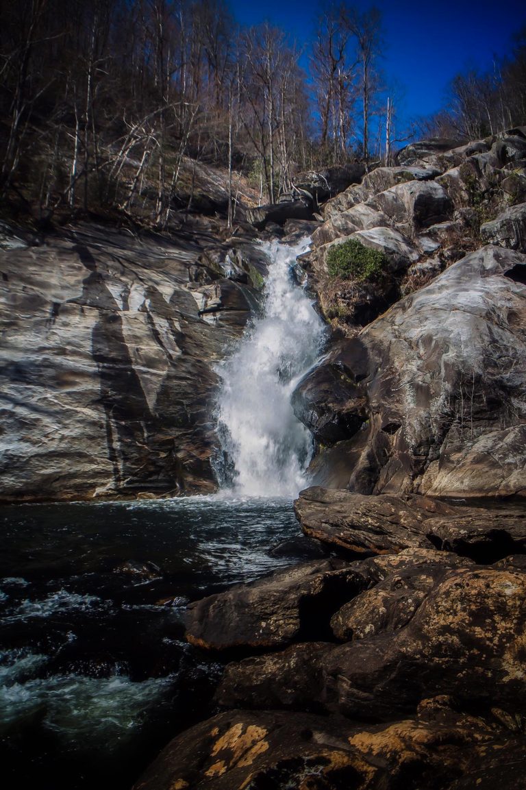 Gorges State Park
Temperate rainforest on the Blue Ridge Escarpment, with 26 waterfalls, deep river gorges and the Foothills Trail.
-
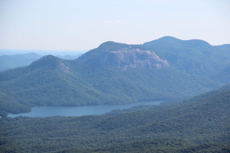 Table Rock State Park
A granite dome above the Cherokee Foothills Scenic Highway, with a tough summit climb and the 76-mile (122 km) Foothills Trail.
-
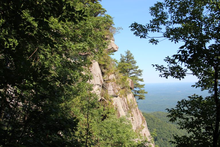 Caesars Head State Park
A granite overlook on the Blue Ridge Escarpment and the trail to 420-foot (128 m) Raven Cliff Falls.
-
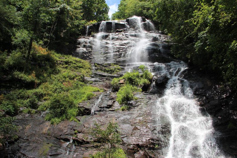 Amicalola Falls State Park
Georgia's tallest waterfall and the start of the Approach Trail to Springer Mountain, where the Appalachian Trail begins.
Straight-line distance between park centres. Road distance is usually longer.
Looking for somewhere closer to home?
See every park and monument within a day’s drive of where you are.