

Bear Mountain State Park
Fast facts
- Size: about 5,200 acres (21 km²)
- High point: Bear Mountain, about 1,280 feet (390 m), with the Perkins Memorial Tower on top
- Known for: the Appalachian Trail, Hessian Lake, the Trailside Museums and Zoo and the Bear Mountain Inn
- Camping: none in the park; lodging at the Inn and stone lodges
- Opened: 1913
- Gateway: Fort Montgomery and Stony Point, about 45 miles (72 km) north of New York City
- Managed by: Palisades Interstate Park Commission and New York State Parks
The landscape
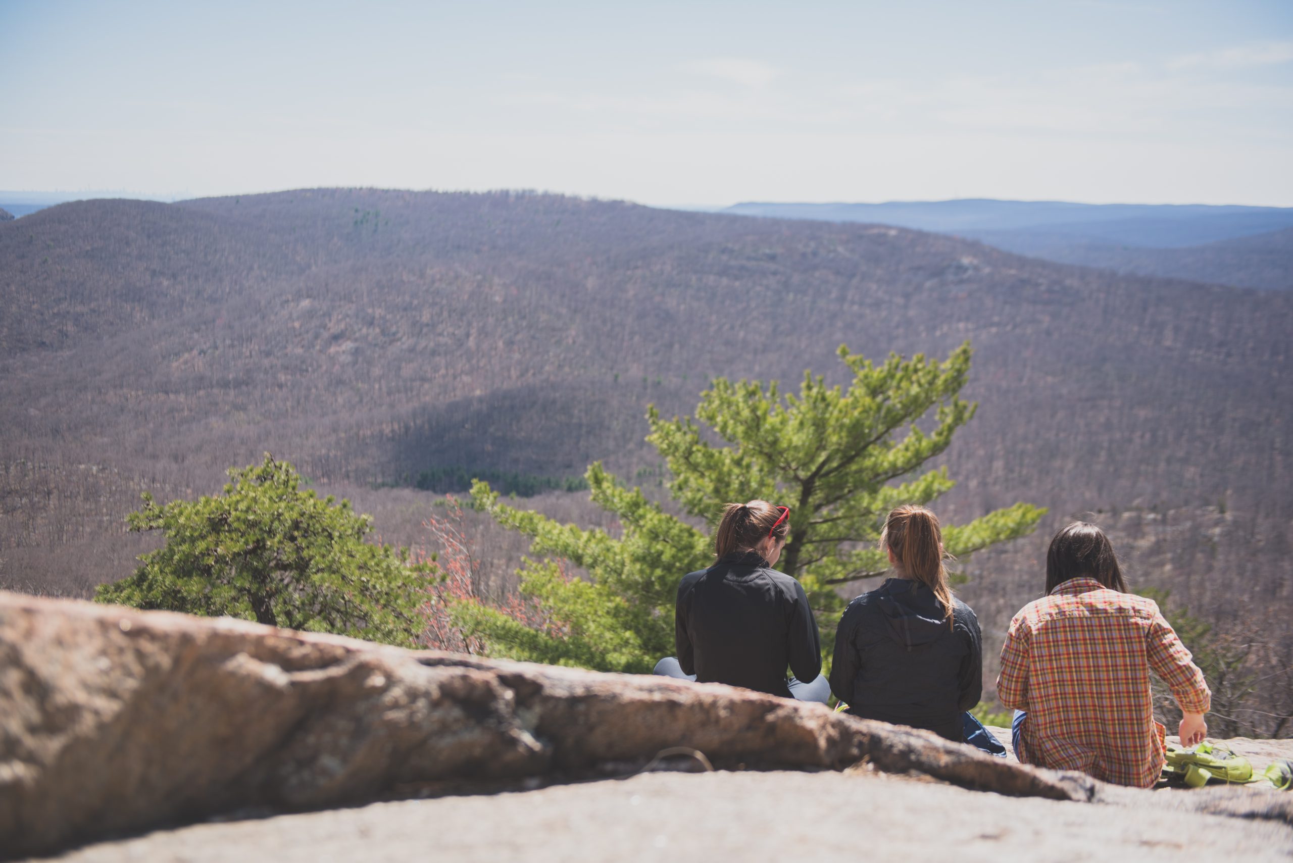
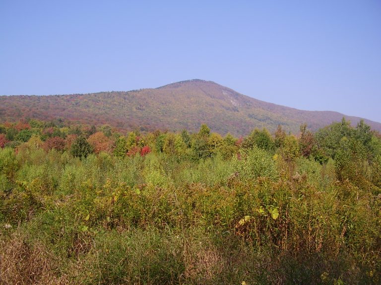
Bear Mountain stands on the west bank of the Hudson River where the river cuts through the Hudson Highlands, a band of old, hard rock. The park takes in Bear Mountain itself, Dunderberg Mountain and West Mountain: steep, forested ridges with bare granite ledges on top and views down to the river and the Bear Mountain Bridge. Hessian Lake lies at the foot of the mountain beside the Inn, and Iona Island, a bird sanctuary, sits in the river just offshore.
The land was saved in 1909 and 1910, when a state plan to build a prison here was dropped and private donors gave land and money for a park. Harriman State Park, far larger, adjoins it to the west, and the two share a trail network. The first section of the Appalachian Trail was built here in 1923. The trail still crosses the summit, drops to Hessian Lake, and passes through the Trailside Museums and Zoo, where it reaches the lowest point of its whole length before crossing the bridge.
Best time to go
The park is open all year. Spring and fall are the best hiking seasons, and fall colour in October draws the largest crowds: on fine weekends the parking lots fill by late morning and the park closes to arriving cars until space opens, so come early or on a weekday. Summer is hot and humid on the climbs. Perkins Memorial Drive and the summit tower are open from April to late November, weather permitting, and in winter the summit is reached only on foot. The outdoor ice rink runs from late October to mid-March, and the trails are used for snowshoeing and cross-country skiing when there is snow.
Getting there and around
The Palisades Interstate Parkway runs north from the George Washington Bridge to the Bear Mountain Circle, where it meets US Routes 9W and 6 at the park entrance. Parking is beside the Bear Mountain Inn and Hessian Lake, and most trails start within a few minutes’ walk. From April to November you can also drive Perkins Memorial Drive to the summit. Roadside parking is not allowed, and cars left on the shoulder are ticketed and towed. Buses from New York City stop at the Inn, and the Metro-North station at Peekskill is across the river, a taxi ride away.
Things to do
The classic hike is the loop over the summit: up the Major Welch Trail, which climbs steeply over open rock slabs on the north side, and down the Appalachian Trail, where trail crews have set hundreds of granite steps into the east face. The round trip is about 4 miles (6.4 km) with roughly 1,100 feet (335 m) of climbing. On top, the Perkins Memorial Tower looks over the Highlands and, on a clear day, to the Manhattan skyline about 40 miles (64 km) south. The paved path around Hessian Lake, about 1.5 miles (2.4 km), is an easy, level walk.
The Trailside Museums and Zoo, on the site of Fort Clinton, keeps injured and rescued native animals, including black bears, and has small museums of local history, geology and nature; the Appalachian Trail runs straight through it. Longer routes head west into Harriman State Park or south over West Mountain and Dunderberg Mountain, where the Suffern-Bear Mountain Trail and others cross rougher, quieter ground. The park also has a swimming pool in summer, rowboats on Hessian Lake, a merry-go-round, picnic groves and fishing in the lake and the river.
Staying safe
These are short mountains with steep trails. The Major Welch Trail crosses smooth rock slabs that are treacherous when wet or icy, and the stone steps on the Appalachian Trail are hard on the knees coming down. Wear shoes with good grip, carry water, and allow more time than the distance suggests. In winter the slabs and steps hold ice, so bring traction devices or stay on the lake path. Trails are marked with painted blazes, and several cross one another near the Inn; carry the trail map so you leave the summit on the trail you meant to.
Check for ticks after every hike, since deer ticks in the Hudson Valley carry Lyme disease. Timber rattlesnakes and copperheads live on the rocky ledges and are rarely seen; watch where you put your hands and feet and leave any snake alone. Black bears live in the park, so do not leave food unattended. The park closes at dusk, and hikers who start late are often caught by darkness on the descent, so carry a light.
Know before you go
Dogs are allowed on the trails on a leash of 6 feet (1.8 m) or less, but not in buildings, picnic areas or the Trailside Museums and Zoo, so through-hikers with dogs use a signed bypass. There is no camping in Bear Mountain State Park; backpackers use the shelters in Harriman State Park. This page is a general overview, not a live conditions report, so check for trail closures and detours, parking status and the hours of the tower, zoo, pool and rink with New York State Parks before you go.
- Coordinates
- 41.3057, -73.9894
- Magnetic declination
- 12.6° W (2026)
Set this declination on your compass, then align it to the map's north lines; it is the angle between true north and magnetic north, refreshed each year.
How declination works, and how to navigate with a map and compass
A spread of the park’s main places shows straight away, and the rest appear as you zoom in. You can also search above, or pick any place from the lists below, and the map will go to it. Places in bold, marked , have a short description.
Getting there 2
Park entrances
On the trail 2
Routes
Sights 15
Viewpoints
Lakes
Heritage site
Points of interest
Islands
Peaks
Map data comes from third-party sources and may be incomplete or out of date, so carry a current official map (terms).
Looking for one of these closer to home?Destinations near me by trip type →
- Best seasons
- Spring, Fall (colour), Summer, Winter (skating and snowshoeing)
- Difficulty
- Easy to strenuous
- Access / trailheads
- About 45 miles (72 km) north of New York City. The Palisades Interstate Parkway, US Route 9W and US Route 6 meet at the Bear Mountain Circle beside the park, and the Bear Mountain Bridge crosses the Hudson River there.
- Water
- Drinking water and food at the Bear Mountain Inn area. None on the trails, so carry what you need.
- Cell / satellite coverage
- Generally good around the Inn and on the summit. Patchy in the hollows on the west and south sides of the park.
- Nearest ranger / SAR / emergency
- Emergencies: 911. Park office: 845-786-2701.
- Permits & regulations
- A vehicle entry fee is collected all year. There is no camping in the park; the nearest campgrounds and backcountry shelters are in neighbouring Harriman State Park. The park is open from dawn to dusk.
- Leave No Trace
- Stay on the marked trails, keep dogs on a leash of 6 feet (1.8 m) or less, do not feed wildlife, and carry out all trash.
January
- Below-freezing nights
February
- Below-freezing nights
March
- Below-freezing nights
April
May
June
July
August
September
October This month
November
December
- Below-freezing nights
What to bring depends on your trip: how long you’re out, where you sleep, and how far you go from the road. The planner builds the list for yours.
Plan a trip here →Averages for 1991–2020 from NOAA U.S. Climate Normals, measured at the West Pt station, 6 miles (10 km)10 km (6 miles) away at 320 feet (98 m)98 m (320 feet). Higher trails run colder, by about 3.5°F for every 1,000 ft (2°C per 300 m)2°C for every 300 m (3.5°F per 1,000 ft) of climb. Daylight runs from sunrise to sunset on the 15th, on the park’s own clock, for a level horizon. Valleys and slopes facing away from the sun are in shade earlier.
Nearby parks
-
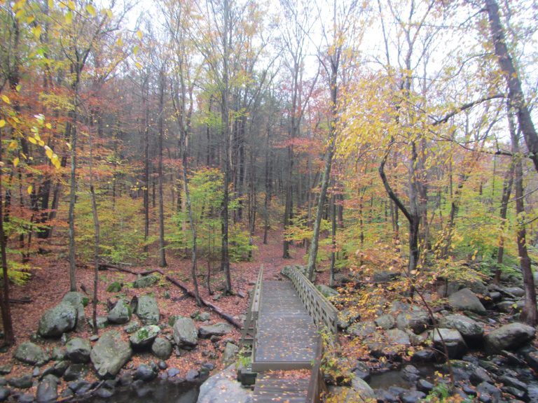 Harriman State Park
More than 200 miles (320 km) of trail and the Appalachian Trail an hour from Manhattan, with shelters for overnight trips.
-
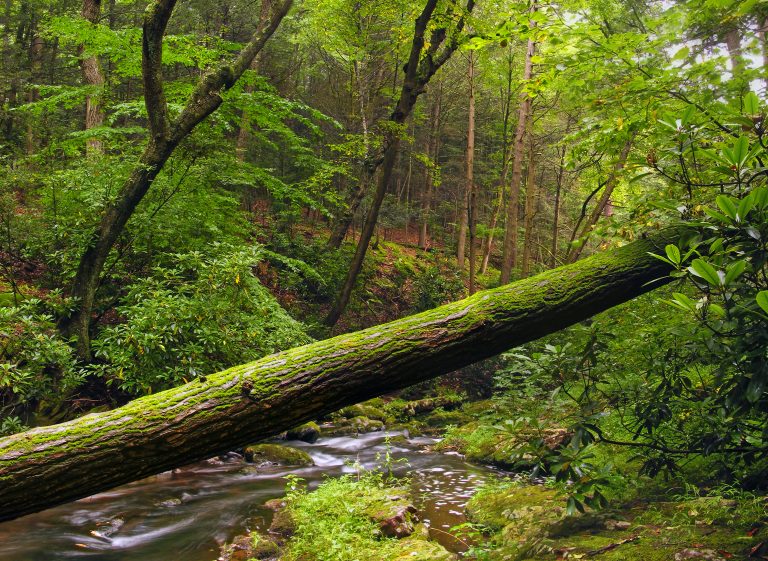 Stokes State Forest
The Kittatinny Ridge and the Appalachian Trail in the northwest corner of New Jersey, with Sunrise Mountain and Tillman Ravine.
-
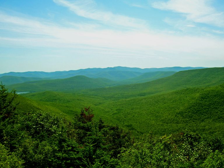 Catskill Park
Rugged hollows and 35 peaks over 3,500 feet (1,070 m) a few hours from New York City, with the Devil's Path.
-
 Mount Greylock State Reservation
The highest point in Massachusetts, crossed by the Appalachian Trail, with views over five states from the summit tower.
Straight-line distance between park centres. Road distance is usually longer.
Looking for somewhere closer to home?
See every park and monument within a day’s drive of where you are.