

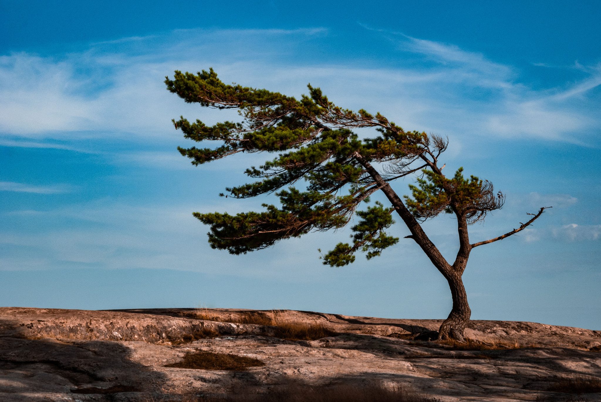
Killbear Provincial Park
Fast facts
- Size: about 4,350 acres (17.6 km²)
- Shoreline: more than 7 miles (12 km) on Georgian Bay, plus three islands
- Camping: 886 campsites in seven campgrounds, all reached by car; no backcountry sites
- Trails: three short loops and a 3.7-mile (6 km) recreational trail for walking and cycling
- Established: 1960
- Gateway: Nobel and Parry Sound
- Managed by: Ontario Parks
The landscape
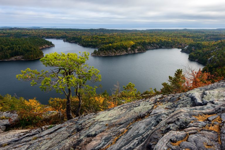
Killbear fills a peninsula that reaches into Georgian Bay at the mouth of Parry Sound, in the Thirty Thousand Islands. The shore alternates between smooth pink and grey rock, worn down by glaciers, and sand beaches tucked into the bays. White pines lean away from the prevailing west wind, and one of them, a lone tree on bare rock near the shore, has become the park’s emblem. Inland the peninsula is mixed forest with beaver ponds and wetlands.
The park is one of the best places in Ontario to see reptiles, which is unusual this far north. The eastern massasauga rattlesnake, the province’s only venomous snake, lives here, along with eastern foxsnakes, hognose snakes, five-lined skinks and several kinds of turtle. Black bears pass through the campgrounds.
Best time to go
July and August are warm, crowded and booked months ahead; the water is at its warmest in August. September and early October bring fall colour, cool nights and far fewer people, and Ontario Parks itself recommends fall for seeing the views without the crowds. The main season runs from early May to early November. A shorter winter season, usually January to mid-March, opens the park for cross-country skiing and snowshoeing.
Getting there and around
Highway 559 ends at the park gate, and a single park road runs the length of the peninsula to Lighthouse Point, with the seven campgrounds and the day-use beach along it. The recreational trail follows the same line, so a bicycle is the easiest way to get around once you have set up camp. Boat launches at Blind Bay and Lighthouse Point take boats under 20 feet (6 m). Parry Sound, about 22 miles (35 km) by road, has groceries, fuel and a hospital.
Things to do
The trails are short and suit almost anyone. Lookout Point Trail is a 2.2-mile (3.5 km) loop through forest to a view over Georgian Bay. Twin Points Trail is a 1-mile (1.6 km) loop over rock outcrops and along the shore, and Lighthouse Point Trail is a half-mile (800 m) loop at the tip of the peninsula. The recreational trail runs 3.7 miles (6 km) one way and is shared by walkers and cyclists.
Most visitors come for the water. Every campground has its own beach, and there is another at the day-use area. Canoeists and kayakers follow the shore and cross to the islands, and the open bay gives good sailing and windsurfing. Anglers fish for lake trout, smallmouth bass, pike, perch and walleye. The Visitor Centre has about 10,800 square feet (1,000 m²) of exhibits, including a live massasauga and an eastern foxsnake, with snake talks daily in summer.
Staying safe
Massasauga rattlesnakes are shy and bite only when stepped on or handled, but they are here, including in the campgrounds. Watch where you put your hands and feet, wear closed shoes, and use a light after dark. If you find one at your campsite, leave it alone and tell park staff, who will move it. A bite is a medical emergency: keep the person still, call 911 and get to hospital. Low fences along the park roads steer snakes into four tunnels built under the pavement, so drive slowly and do not disturb the fencing.
Black bears visit campsites that offer food. Keep all food, coolers, stoves and toiletries locked in a hard-sided vehicle whenever you are not using them. Georgian Bay is big water: wind and waves build quickly, the water stays cold well into summer, and the beaches have no lifeguards. Paddlers should wear a life jacket and stay close to shore when the wind is up. Shoreline rock is slick when wet. People jump from the rocks at Harold Point, but the park does not sanction it and they do so at their own risk.
Know before you go
Killbear is a front-country park: every campsite is reached by car and there is no backcountry camping. Four of the campgrounds (Granite Saddle, Harold Point, Lighthouse Point and Georgian) are radio-free. Dogs must be leashed everywhere except the dog beach near the group camping area. This page is a general overview, not a live conditions report, so confirm operating dates, fire bans and reservations with Ontario Parks before you go.
- Coordinates
- 45.3536, -80.1954
- Magnetic declination
- 10.0° W (2026)
Set this declination on your compass, then align it to the map's north lines; it is the angle between true north and magnetic north, refreshed each year.
How declination works, and how to navigate with a map and compass
A spread of the park’s main places shows straight away, and the rest appear as you zoom in. You can also search above, or pick any place from the lists below, and the map will go to it. Places in bold, marked , have a short description.
Getting there 5
Park entrance
Visitor centre
Ranger station
Parking
On the trail 14
Routes
Campgrounds
Sights 9
Viewpoints
Beaches
Points of interest
Islands
Map data comes from third-party sources and may be incomplete or out of date, so carry a current official map (terms).
Looking for one of these closer to home?Destinations near me by trip type →
- Best seasons
- Summer, Early fall, Winter (skiing and snowshoeing)
- Difficulty
- Easy to moderate
- Access / trailheads
- From Highway 400 about 7 miles (11 km) north of Parry Sound, take exit 241 at Nobel and follow Highway 559 for about 12 miles (20 km) to the park gate.
- Water
- Drinking water taps in the campgrounds and day-use area. Treat any water taken from Georgian Bay.
- Cell / satellite coverage
- Patchy; it varies by carrier and by campground.
- Nearest ranger / SAR / emergency
- Emergencies: 911. Park office: 705-342-5492. On Georgian Bay, the Canadian Coast Guard monitors VHF channel 16.
- Permits & regulations
- A daily vehicle permit is needed for day use. Campsites are reserved through Ontario Parks, up to five months ahead, and summer dates go quickly.
- Leave No Trace
- Keep food and anything scented locked in your vehicle, give snakes space and never move or harm one, drive slowly on park roads and pack out all waste.
January
- Below freezing all day
February
- Below freezing all day
March
- Below-freezing nights
April
- Below-freezing nights
May
June
July
August
September
October This month
November
- Below-freezing nights
December
- Below freezing all day
What to bring depends on your trip: how long you’re out, where you sleep, and how far you go from the road. The planner builds the list for yours.
Plan a trip here →Averages for 1981–2010 from Environment Canada climate normals, measured at the Dunchurch station, 24 miles (38 km)38 km (24 miles) away at 880 feet (268 m)268 m (880 feet). Higher trails run colder, by about 3.5°F for every 1,000 ft (2°C per 300 m)2°C for every 300 m (3.5°F per 1,000 ft) of climb. Daylight runs from sunrise to sunset on the 15th, on the park’s own clock, for a level horizon. Valleys and slopes facing away from the sun are in shade earlier.
Nearby parks
-
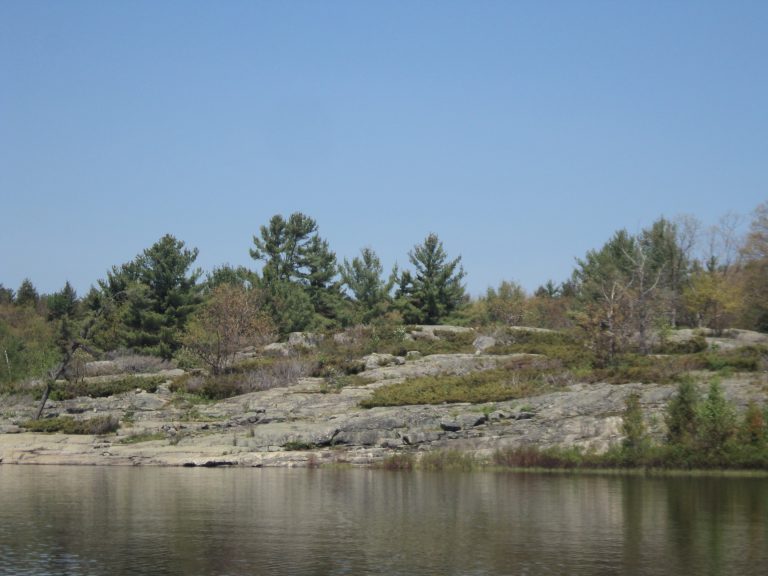 The Massasauga Provincial Park
Windswept pines, granite islands and paddle-in sites on Georgian Bay, home of Ontario's only rattlesnake.
-
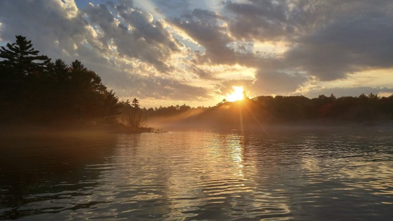 Georgian Bay Islands National Park
Granite islands and windswept pines in the 30,000 Islands, reached by boat, with cabins on Beausoleil Island.
-
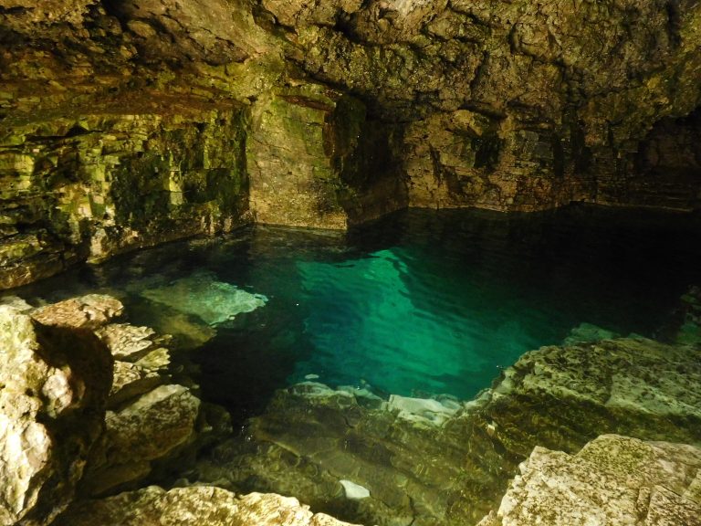 Bruce Peninsula National Park
Limestone cliffs and turquoise Georgian Bay water near Tobermory, with the Grotto and the Bruce Trail's rugged end.
-
 Killarney Provincial Park
White quartzite ridges and clear lakes in the La Cloche Mountains, painted by the Group of Seven, with a 50-mile (80 km) loop.
Straight-line distance between park centres. Road distance is usually longer.
Looking for somewhere closer to home?
See every park and monument within a day’s drive of where you are.