

John Day Fossil Beds National Monument
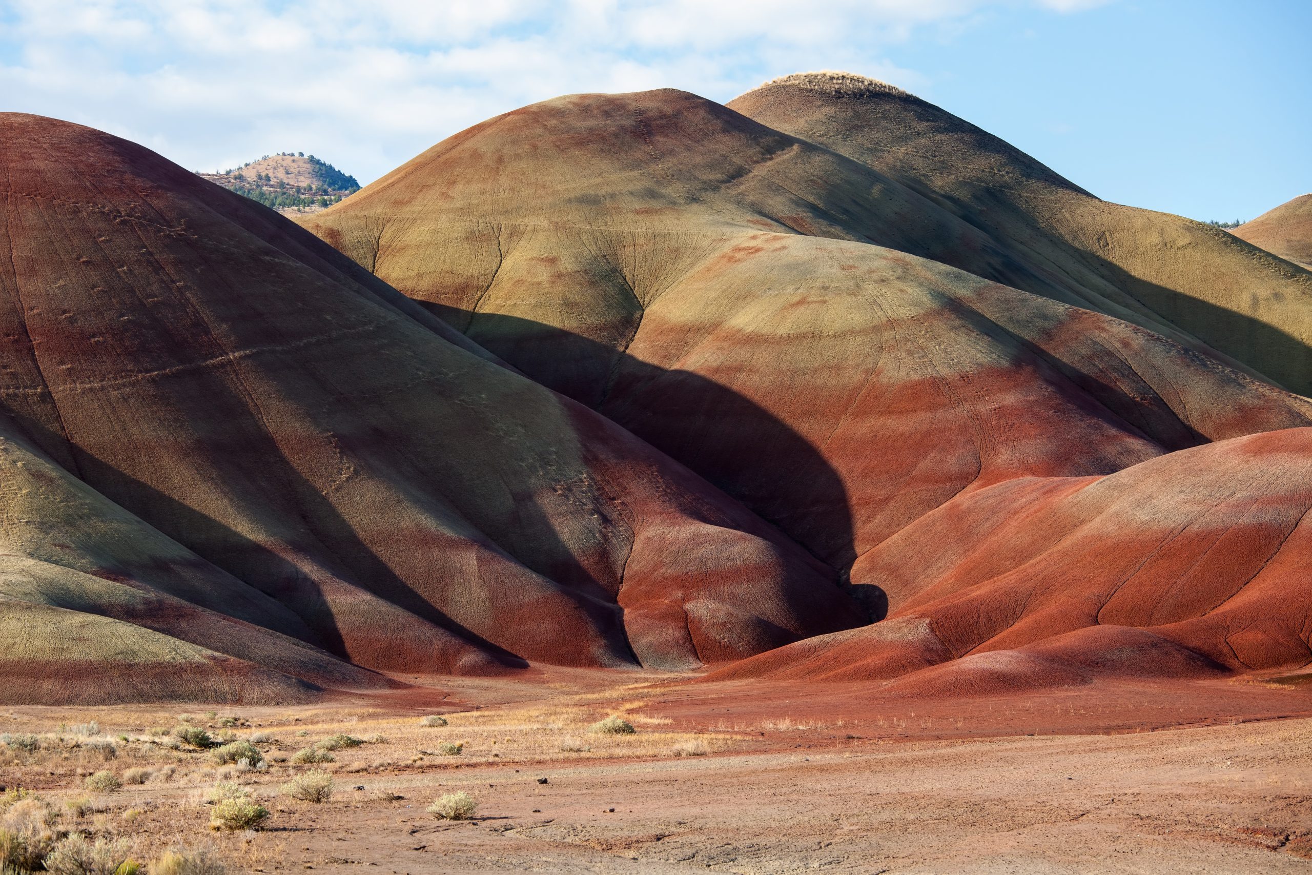
John Day Fossil Beds preserves more than 40 million years of fossil history in the hills of central Oregon, in three units hours apart. The Painted Hills, striped red, gold and black, are one of the most photographed places in Oregon, and short trails reach them all.
Fast facts
- Established: 1975
- Size: about 14,000 acres (57 km²) in three separate units
- Units: Sheep Rock, Painted Hills and Clarno
- Fossil record: plants and animals spanning more than 40 million years
- Gateways: Dayville, Mitchell and Fossil
- Managed by: the National Park Service
The landscape
The colourful hills are layers of volcanic ash that weathered into clay, each colour recording a different ancient climate. The Painted Hills show bands of red, yellow and black; the Sheep Rock unit has blue-green claystone badlands below basalt cliffs; the Clarno unit has cliffs of mudflow rock with fossil leaves and nuts. The John Day River runs through dry juniper and sagebrush hills.
Best time to go
Spring, when the hills show their brightest colours after rain and wildflowers bloom, and fall. Summer highs can top 100°F (38°C), and the trails have little shade. Winters are mild, with occasional snow and ice.
Getting there and around
The Sheep Rock unit, with the Thomas Condon visitor center, is on Highway 19 north of Dayville. The Painted Hills unit is about 9 miles (14 km) northwest of Mitchell off US 26. The Clarno unit is on Highway 218, about 20 miles (32 km) west of Fossil. The units are one to two hours apart by road.
Things to do
At the Painted Hills, the Painted Hills Overlook and Painted Cove trails, each under half a mile (0.8 km), lead to the best views, with a boardwalk across the clay at Painted Cove. At Sheep Rock, the Thomas Condon visitor center displays fossils and a working lab, and the Island in Time Trail, 1.3 miles (2.1 km) round trip, climbs into blue-green badlands. At Clarno, the short Trail of Fossils passes leaf imprints in the boulders.
The Blue Basin Overlook Trail, a loop of about 3.25 miles (5.2 km), climbs above the blue-green basin for the widest views in the monument. The Carroll Rim Trail at the Painted Hills climbs for a view across the hills.
Staying safe
Summer heat is the main risk; carry water and hike early. The clay hills are fragile and slippery when wet, and walking on them is prohibited. Watch for rattlesnakes. Roads between the units are long and remote, so fill up with fuel.
Know before you go
There is no entrance fee, and there is no camping in the monument. Collecting fossils is prohibited. This page is a general overview, not a live conditions report, so confirm conditions with the National Park Service before you go.
- Coordinates
- 44.7193, -120.0303
- Magnetic declination
- 13.8° E (2026)
Set this declination on your compass, then align it to the map's north lines; it is the angle between true north and magnetic north, refreshed each year.
How declination works, and how to navigate with a map and compass
A spread of the park’s main places shows straight away, and the rest appear as you zoom in. You can also search above, or pick any place from the lists below, and the map will go to it. Places in bold, marked , have a short description.
Getting there 1
Visitor centre
On the trail 4
Routes
Sights 11
Viewpoints
Heritage site
Points of interest
Peaks
Map data comes from third-party sources and may be incomplete or out of date, so carry a current official map (terms).
Looking for one of these closer to home?Destinations near me by trip type →
- Best seasons
- Spring, Fall
- Difficulty
- Easy to moderate
- Access / trailheads
- Sheep Rock on Highway 19 north of Dayville; Painted Hills off US 26 near Mitchell; Clarno on Highway 218 west of Fossil.
- Water
- At the Thomas Condon visitor center and some picnic areas. Carry water on trails.
- Cell / satellite coverage
- Patchy to none between the towns.
- Nearest ranger / SAR / emergency
- Emergencies: 911. Monument: 541-987-2333.
- Permits & regulations
- No entrance fee. No camping in the monument; fossil collecting prohibited.
- Leave No Trace
- Stay on trails and boardwalks (footprints on the clay last for years), leave fossils in place, and pack out all waste.
January
- Below-freezing nights
February
- Below-freezing nights
March
- Below-freezing nights
April
May
June
July
- Day-to-night swing of 32°F (18°C)Day-to-night swing of 18°C (32°F)
August
- Day-to-night swing of 32°F (18°C)Day-to-night swing of 18°C (32°F)
September
- Day-to-night swing of 30°F (17°C)Day-to-night swing of 17°C (30°F)
October This month
November
- Below-freezing nights
December
- Below-freezing nights
What to bring depends on your trip: how long you’re out, where you sleep, and how far you go from the road. The planner builds the list for yours.
Plan a trip here →Averages for 1991–2020 from NOAA U.S. Climate Normals, measured at the Mitchell station, 11 miles (18 km)18 km (11 miles) away at 3,320 feet (1,012 m)1,012 m (3,320 feet). Higher trails run colder, by about 3.5°F for every 1,000 ft (2°C per 300 m)2°C for every 300 m (3.5°F per 1,000 ft) of climb. Daylight runs from sunrise to sunset on the 15th, on the park’s own clock, for a level horizon. Valleys and slopes facing away from the sun are in shade earlier.
Nearby parks
-
 Newberry National Volcanic Monument
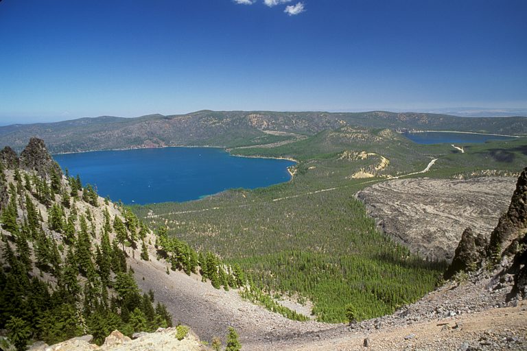
A caldera with two lakes, a glassy obsidian flow and a mile-long lava tube, just south of Bend, Oregon.
-
 Silver Falls State Park
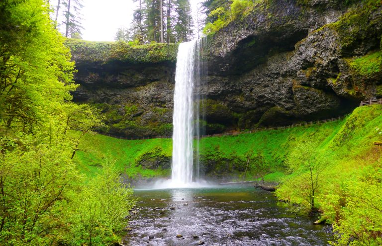
Ten waterfalls on one 7.2-mile (11.6 km) loop through a forested basalt canyon, four of them with the trail running behind the water.
-
 Mount St. Helens National Volcanic Monument
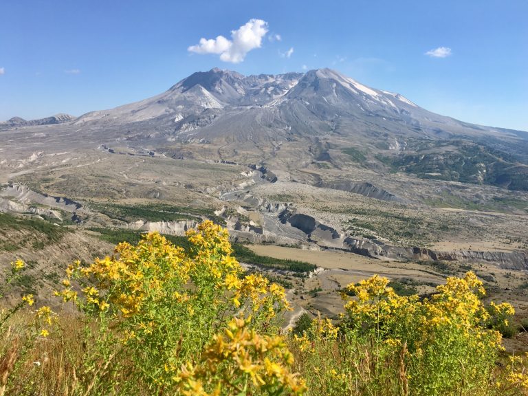
The volcano that erupted in 1980: lava tubes and easy walks on the south side, a summit climb and the round-the-mountain Loowit Trail.
-
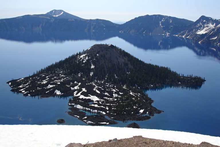 Crater Lake National Park
The deepest lake in the U.S., 1,943 feet (592 m), filling a collapsed volcano in Oregon's Cascades, circled by a 33-mile (53 km) rim drive.
Straight-line distance between park centres. Road distance is usually longer.
Looking for somewhere closer to home?
See every park and monument within a day’s drive of where you are.