

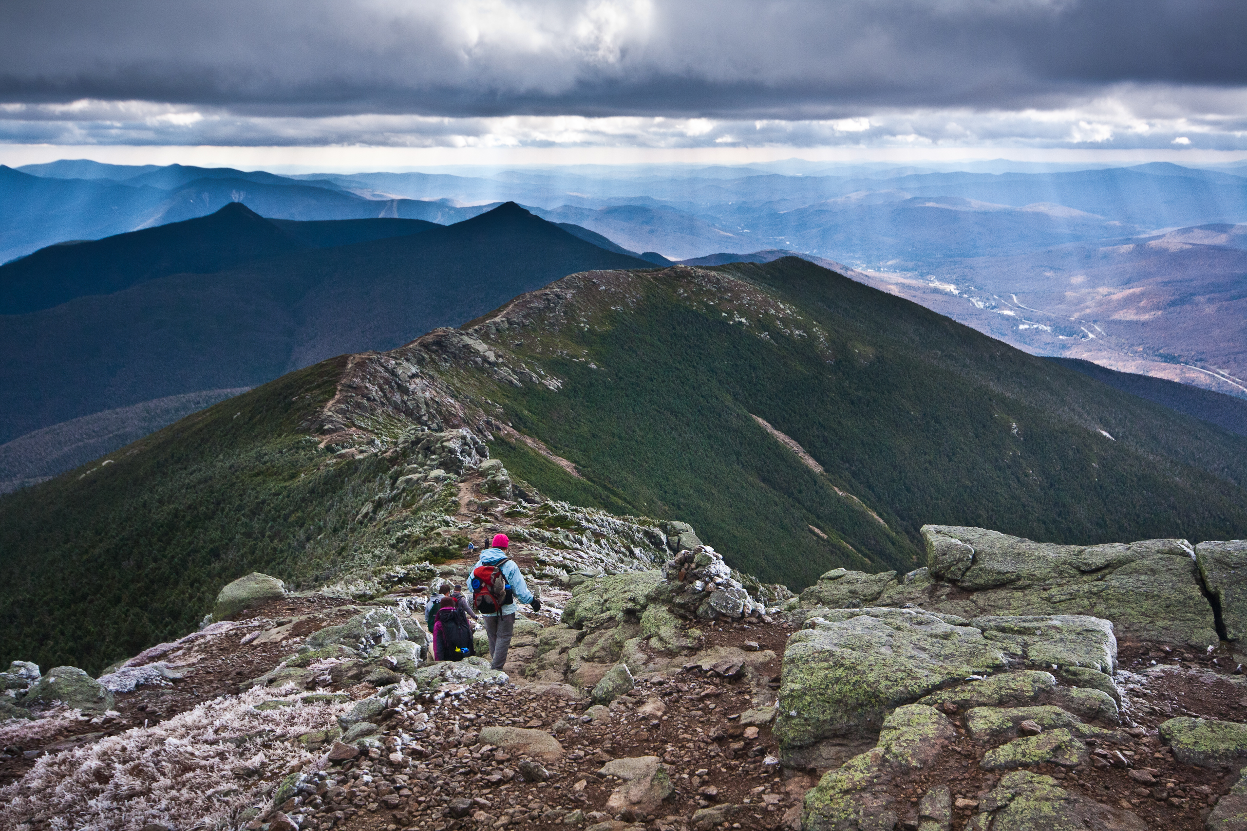
Franconia Notch State Park
Fast facts
- Size: about 6,700 acres (27 km²)
- Setting: the pass between the Kinsman and Franconia ranges, inside the White Mountain National Forest
- Highlights: the Flume Gorge, Cannon Mountain and the site of the Old Man of the Mountain
- Gateway: Lincoln and Franconia
- Managed by: New Hampshire State Parks
The landscape
Franconia Notch is a narrow glacial pass with high peaks on both sides: Cannon Mountain and its cliffs to the west, and the Franconia Ridge, rising above treeline to Mount Lafayette at 5,260 feet (1,603 m), to the east. The Pemigewasset River runs through the notch past the Flume Gorge and the Basin. The Old Man of the Mountain, a famous rock profile, collapsed in 2003. Moose, black bears and peregrine falcons live here.
Best time to go
Summer is hiking season. Fall foliage in late September and early October draws huge crowds. Winter brings skiing at Cannon and winter climbing on the ridge for experienced, well-equipped parties.
Getting there and around
Interstate 93 runs through the notch as a parkway, with exits for the Flume Gorge, the Basin, Lafayette Place and the Cannon tramway. Trailheads for the Franconia Ridge and Cannon are along the road, and a paved recreation path runs the length of the notch.
Things to do
The Franconia Ridge loop, up the Falling Waters Trail and down past the Greenleaf Hut, is one of the classic hikes in New England. The Flume Gorge and the Basin are short walks. The aerial tramway climbs Cannon, and cyclists ride the recreation path. Backpackers continue into the Pemigewasset Wilderness.
Staying safe
The Franconia Ridge is fully exposed above treeline, and weather in the White Mountains can turn deadly fast, even in summer. Check the higher-summits forecast, start early and turn back if clouds, wind or cold build. Carry warm layers, rain gear and a headlamp. Trails are steep and rocky, with ice into late spring. Leave a trip plan.
Know before you go
Parking fills early on weekends. This page is a general overview, not a live conditions report, so confirm current conditions with New Hampshire State Parks and the higher-summits forecast before you go.
- Coordinates
- 44.1421, -71.6890
- Magnetic declination
- 14.1° W (2026)
Set this declination on your compass, then align it to the map's north lines; it is the angle between true north and magnetic north, refreshed each year.
How declination works, and how to navigate with a map and compass
A spread of the park’s main places shows straight away, and the rest appear as you zoom in. You can also search above, or pick any place from the lists below, and the map will go to it. Places in bold, marked , have a short description.
Getting there 4
Park entrances
Visitor centre
Ranger station
On the trail 4
Trailhead
Campground
Huts and shelters
Sights 28
Viewpoints
Waterfalls
Lakes
Beach
Points of interest
Peaks
Map data comes from third-party sources and may be incomplete or out of date, so carry a current official map (terms).
Looking for one of these closer to home?Destinations near me by trip type →
- Best seasons
- Summer, Fall (foliage), Winter (skiing)
- Difficulty
- Easy to strenuous
- Access / trailheads
- Interstate 93 runs through the notch as the Franconia Notch Parkway for 8 miles (13 km), from the Flume Gorge in the south to Echo Lake in the north.
- Water
- Streams; treat all water. Water at the visitor areas and campground.
- Cell / satellite coverage
- Fair along I-93, patchy on the trails, sometimes available on the ridge.
- Nearest ranger / SAR / emergency
- Emergencies: 911 (New Hampshire Fish and Game leads search and rescue).
- Permits & regulations
- Fees apply at the Flume Gorge, the Cannon tramway and the campground. Backcountry camping on the ridge is in the White Mountain National Forest at designated sites and huts.
- Leave No Trace
- Stay on trail above treeline to protect alpine plants, camp only at designated sites, and pack out all waste.
January
- Below freezing all day
February
- Below freezing all day
March
- Below-freezing nights
April
- Below-freezing nights
May
June
July
August
September
October This month
November
- Below-freezing nights
December
- Below-freezing nights
What to bring depends on your trip: how long you’re out, where you sleep, and how far you go from the road. The planner builds the list for yours.
Plan a trip here →Averages for 1991–2020 from NOAA U.S. Climate Normals, measured at the Lincoln Nepp station, 7 miles (11 km)11 km (7 miles) away at 807 feet (246 m)246 m (807 feet). Higher trails run colder, by about 3.5°F for every 1,000 ft (2°C per 300 m)2°C for every 300 m (3.5°F per 1,000 ft) of climb. Daylight runs from sunrise to sunset on the 15th, on the park’s own clock, for a level horizon. Valleys and slopes facing away from the sun are in shade earlier.
Nearby parks
-
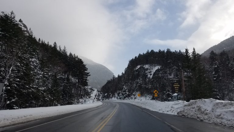 Crawford Notch State Park
A deep White Mountains pass on Route 302, with Arethusa Falls, the Webster Cliffs and the Appalachian Trail climbing to the Presidentials.
-
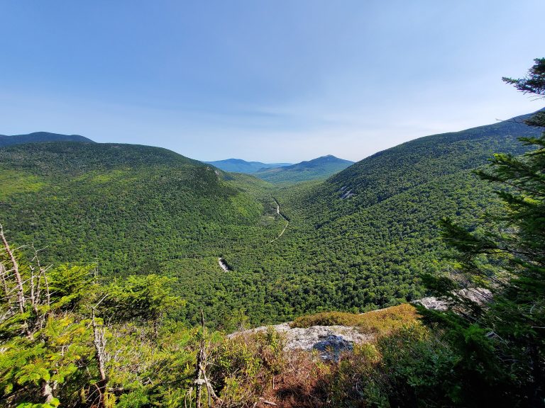 Grafton Notch State Park
Waterfalls, gorges and the Appalachian Trail's toughest mile in the Mahoosuc Range of western Maine.
-
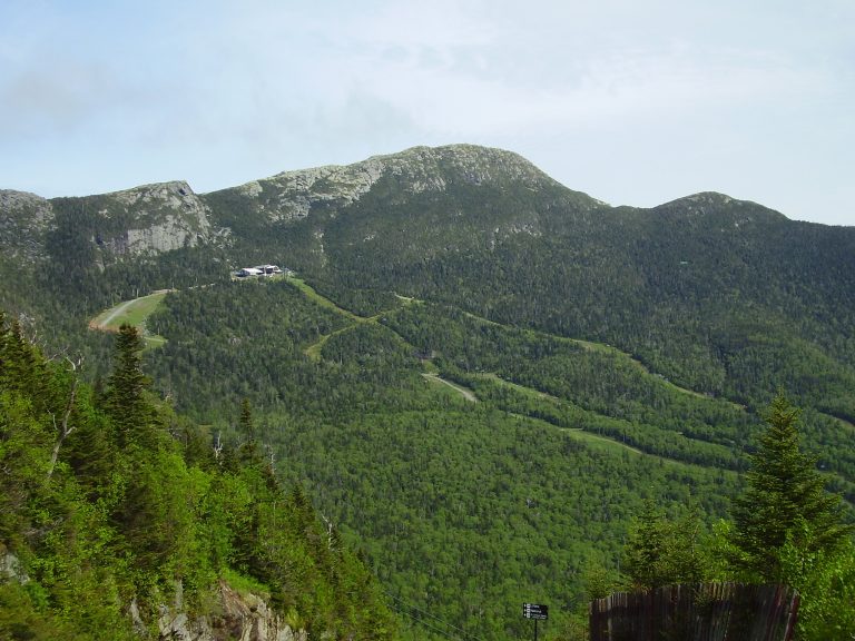 Mount Mansfield State Forest
Vermont's highest mountain: a long alpine ridge above Stowe and Smugglers' Notch, traversed by the Long Trail.
-
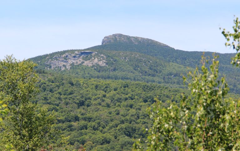 Camel’s Hump State Park
Vermont's most recognisable peak, an undeveloped summit with rare alpine tundra, crossed by the Long Trail.
Straight-line distance between park centres. Road distance is usually longer.
Looking for somewhere closer to home?
See every park and monument within a day’s drive of where you are.