

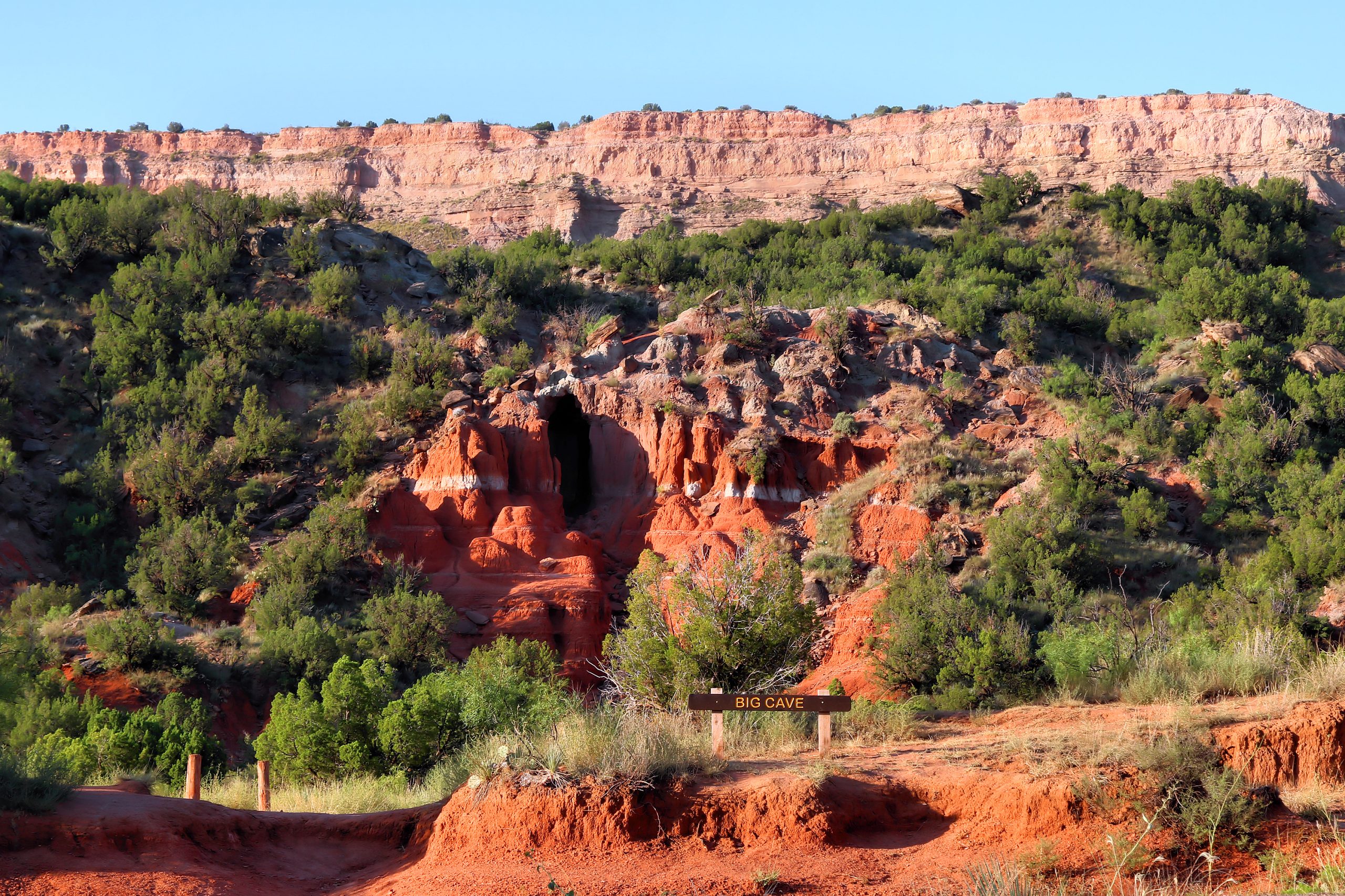
Palo Duro Canyon State Park
Fast facts
- Size: about 29,000 acres (118 km²)
- Canyon: the second-largest canyon in the United States, about 800 feet (240 m) deep
- Trails: more than 30 miles (48 km) for hiking, biking and riding
- Gateway: Canyon and Amarillo
- Managed by: Texas Parks and Wildlife
The landscape
Palo Duro Canyon cuts into the flat Llano Estacado in layers of red, orange and white rock, shaped into cliffs, mesas and hoodoos such as the Lighthouse. The Prairie Dog Town Fork of the Red River winds along the canyon floor. Mule deer, wild turkeys, aoudad and coyotes live here, and the canyon has a long human history from the Comanche to the ranching era.
Best time to go
Spring and fall offer the best hiking weather. Summer is very hot on the canyon floor, often above 100°F (38°C). Winter can be pleasant between cold fronts.
Getting there and around
A park road descends from the rim to the canyon floor, crossing the river several times, with campgrounds, trailheads and cabins along the way. Crossings can flood after storms.
Things to do
The Lighthouse Trail is the park’s signature hike, to the famous hoodoo. Other trails wind through the canyon and up to viewpoints. Backpackers use designated backpack camping areas, cyclists and horse riders share parts of the trail network, and the summer outdoor musical TEXAS plays in the canyon amphitheatre.
Staying safe
Heat is the biggest danger: carry plenty of water, hike early and travel with a partner. Flash floods can close roads and trails suddenly. Trails can be steep and exposed. Watch for rattlesnakes, and check trail status before you set out.
Know before you go
Trails and backpack campsites may close after wet weather. This page is a general overview, not a live conditions report, so confirm trail status and reservations with Texas Parks and Wildlife before you go.
- Coordinates
- 34.9121, -101.6420
- Magnetic declination
- 5.4° E (2026)
Set this declination on your compass, then align it to the map's north lines; it is the angle between true north and magnetic north, refreshed each year.
How declination works, and how to navigate with a map and compass
A spread of the park’s main places shows straight away, and the rest appear as you zoom in. You can also search above, or pick any place from the lists below, and the map will go to it. Places in bold, marked , have a short description.
Getting there 2
Park entrance
Visitor centre
On the trail 7
Route
Campgrounds
Picnic site
Sights 10
Viewpoint
Point of interest
Peaks
Map data comes from third-party sources and may be incomplete or out of date, so carry a current official map (terms).
Looking for one of these closer to home?Destinations near me by trip type →
- Best seasons
- Spring, Fall, Winter
- Difficulty
- Easy to strenuous
- Access / trailheads
- About 12 miles (19 km) east of Canyon on State Highway 217, roughly 30 minutes from Amarillo.
- Water
- Water at developed areas; carry plenty on trails.
- Cell / satellite coverage
- Limited on the canyon floor.
- Nearest ranger / SAR / emergency
- Emergencies: 911.
- Permits & regulations
- An entrance fee applies. Campsites, backpack camping areas and cabins are reserved through Texas Parks and Wildlife.
- Leave No Trace
- Stay on trails, camp in designated areas, and pack out all waste.
January
- Below-freezing nights
February
- Below-freezing nights
- Day-to-night swing of 31°F (17°C)Day-to-night swing of 17°C (31°F)
March
- Day-to-night swing of 32°F (18°C)Day-to-night swing of 18°C (32°F)
April
- Day-to-night swing of 31°F (17°C)Day-to-night swing of 17°C (31°F)
May
June
- Hot days
July
- Hot days
August
- Hot days
September
October This month
- Day-to-night swing of 30°F (17°C)Day-to-night swing of 17°C (30°F)
November
- Below-freezing nights
- Day-to-night swing of 30°F (17°C)Day-to-night swing of 17°C (30°F)
December
- Below-freezing nights
What to bring depends on your trip: how long you’re out, where you sleep, and how far you go from the road. The planner builds the list for yours.
Plan a trip here →Averages for 1991–2020 from NOAA U.S. Climate Normals, measured at the Canyon station, 17 miles (27 km)27 km (17 miles) away at 3,590 feet (1,094 m)1,094 m (3,590 feet). Higher trails run colder, by about 3.5°F for every 1,000 ft (2°C per 300 m)2°C for every 300 m (3.5°F per 1,000 ft) of climb. Daylight runs from sunrise to sunset on the 15th, on the park’s own clock, for a level horizon. Valleys and slopes facing away from the sun are in shade earlier.
Nearby parks
-
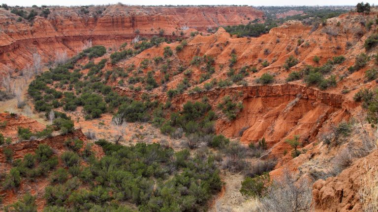 Caprock Canyons State Park
Red-rock canyons on the edge of the Panhandle, home to the Texas State Bison Herd and 90 miles (145 km) of trail.
-
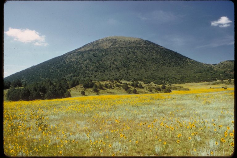 Capulin Volcano National Monument
A near-perfect cinder cone on New Mexico’s high plains, with a road to the rim and a trail around the crater.
-
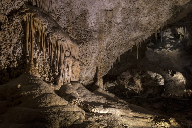 Carlsbad Caverns National Park
Vast caverns under New Mexico's Chihuahuan Desert, with the Big Room, summer bat flights and backcountry above.
-
 Río Grande del Norte National Monument
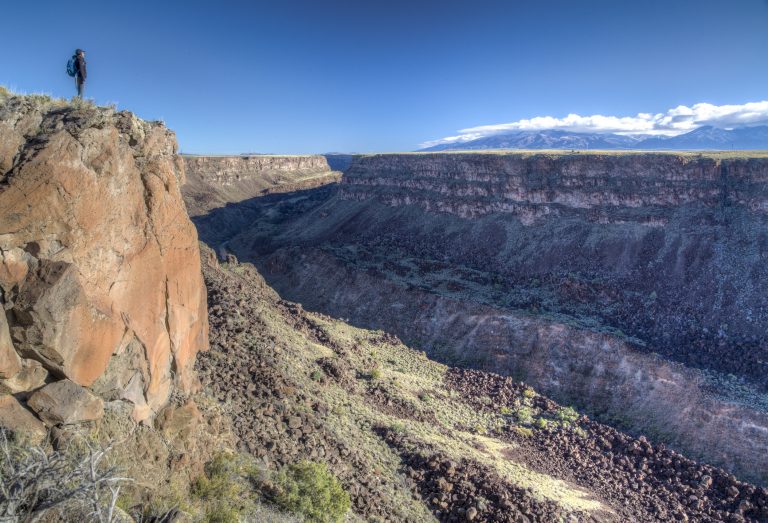
The Rio Grande’s basalt gorge near Taos, with rim walks, steep trails to the river and the Taos Box whitewater run.
Straight-line distance between park centres. Road distance is usually longer.
Looking for somewhere closer to home?
See every park and monument within a day’s drive of where you are.