

Parc national des Monts-Valin
Fast facts
- Established: 1996
- Size: about 59 square miles (154 km²)
- Highest point: about 3,230 feet (984 m), the high ground of the Saguenay region
- Signature feature: the Vallée des Fantômes, where snow-covered trees look like ghosts
- Gateway: Saint-Fulgence and Saguenay
- Managed by: Sépaq (not a federal national park)
The landscape
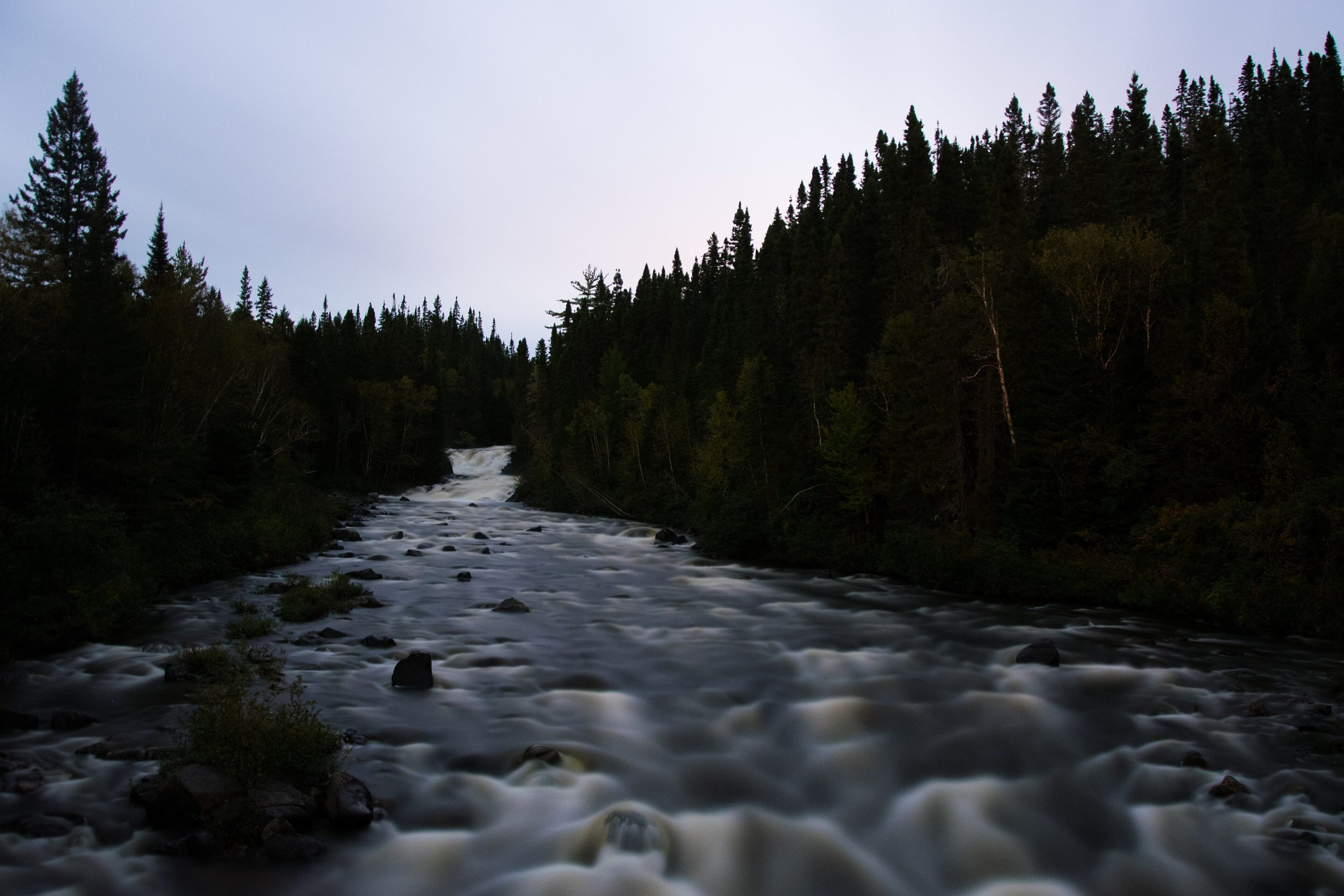
The Monts-Valin rise north of the Saguenay fjord, a high, rounded range covered in boreal forest and dotted with lakes and rivers. The area receives exceptional snowfall, which piles onto the trees near the summits and shapes them into the “ghosts” of the Vallée des Fantômes. The Valin River winds through the lowlands, and moose, black bears and brook trout are common.
Best time to go
Winter is the park’s signature season, from December to April, with deep snow for snowshoeing, backcountry skiing and hut trips. Summer and fall bring hiking, paddling on the Valin River and fishing; fall hiking with a night in a hut is especially popular.
Getting there and around
From Saguenay, drive north through Saint-Fulgence to the park’s welcome centre. In winter, a tracked shuttle takes visitors up toward the Vallée des Fantômes, and trails lead on to huts and summits. In summer, roads and trails reach lakes and river put-ins.
Things to do
Snowshoers and skiers head for the Vallée des Fantômes and Pic de la Hutte, staying in heated huts. In summer, canoeists and stand-up paddlers explore the meanders of the Valin River, and hikers climb to the summits. Brook trout fishing is a long tradition.
Staying safe
Winter conditions are serious: deep cold, wind and whiteout on the summits, and avalanche terrain on steeper slopes. Carry winter survival gear, check conditions with the park and travel with others. Cell coverage is poor, so carry a satellite messenger and leave a trip plan. In summer, keep food from bears and wear a life jacket on the river.
Know before you go
Huts and the winter shuttle fill up early. This page is a general overview, not a live conditions report, so confirm current conditions, access and reservations with Sépaq before you go.
- Coordinates
- 48.5901, -70.7920
- Magnetic declination
- 15.5° W (2026)
Set this declination on your compass, then align it to the map's north lines; it is the angle between true north and magnetic north, refreshed each year.
How declination works, and how to navigate with a map and compass
A spread of the park’s main places shows straight away, and the rest appear as you zoom in. You can also search above, or pick any place from the lists below, and the map will go to it. Places in bold, marked , have a short description.
On the trail 6
Campgrounds
Huts and shelters
Sights 34
Viewpoints
Lakes
Peaks
Map data comes from third-party sources and may be incomplete or out of date, so carry a current official map (terms).
Looking for one of these closer to home?Destinations near me by trip type →
- Best seasons
- Winter (snowshoeing and skiing), Summer, Early fall
- Difficulty
- Moderate to strenuous
- Access / trailheads
- From Saguenay, north through Saint-Fulgence to the park's welcome centre. In winter, a tracked shuttle carries visitors toward the Vallée des Fantômes.
- Water
- Lakes and streams; filter or treat all water; in winter, melt snow.
- Cell / satellite coverage
- Very limited. Carry a satellite messenger.
- Nearest ranger / SAR / emergency
- Emergencies: 911. Sépaq: 1-800-665-6527.
- Permits & regulations
- A daily access right or annual card is mandatory. Huts, camping and the snowcat shuttle need reservations.
- Leave No Trace
- Stay on marked trails, use the huts and designated sites, and pack out all waste.
January
- Below freezing all day
February
- Below freezing all day
March
- Below freezing all day
April
- Below-freezing nights
May
June
July
August
September
October This month
November
- Below-freezing nights
December
- Below freezing all day
What to bring depends on your trip: how long you’re out, where you sleep, and how far you go from the road. The planner builds the list for yours.
Plan a trip here →Averages for 1981–2010 from Environment Canada climate normals, measured at the Ste Rose du Nord station, 18 miles (29 km)29 km (18 miles) away at 673 feet (205 m)205 m (673 feet). Higher trails run colder, by about 3.5°F for every 1,000 ft (2°C per 300 m)2°C for every 300 m (3.5°F per 1,000 ft) of climb. Daylight runs from sunrise to sunset on the 15th, on the park’s own clock, for a level horizon. Valleys and slopes facing away from the sun are in shade earlier.
Nearby parks
-
 Parc national du Fjord-du-Saguenay
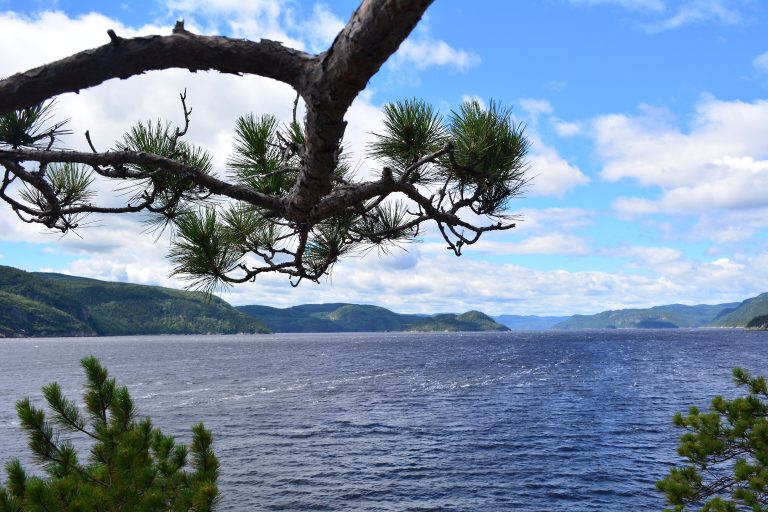
Cliffs above one of the world's longest fjords, with belugas below, multi-day trails and kayaking from Baie-Éternité to Tadoussac.
-
 Parc national des Hautes-Gorges-de-la-Rivière-Malbaie
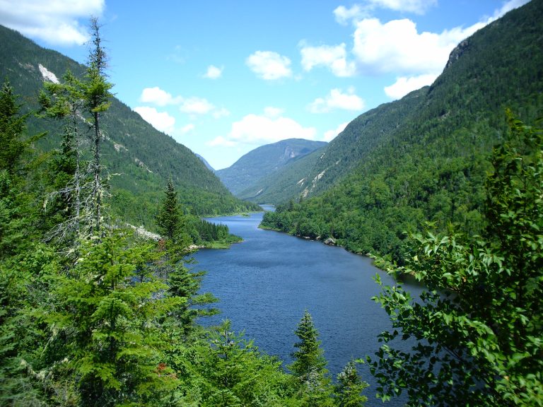
Some of the highest rock walls east of the Rockies, over the Malbaie River in Charlevoix, with the Acropole des Draveurs.
-
 Parc national des Grands-Jardins
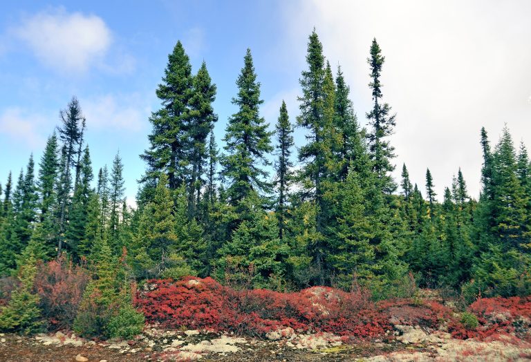
Taiga in Charlevoix: lichen carpets, black spruce and the cliffs of Mont du Lac des Cygnes, in a UNESCO biosphere reserve.
-
 Parc national de la Jacques-Cartier
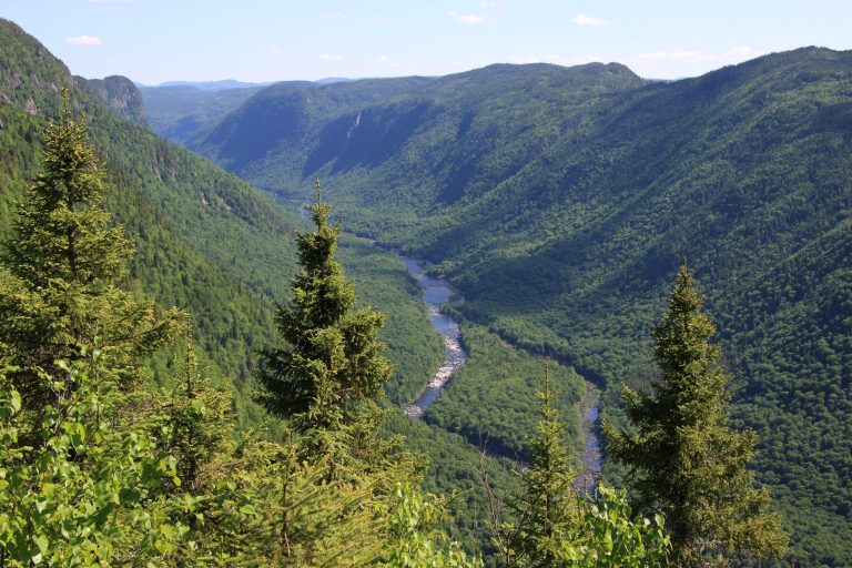
A glacial valley more than 1,800 feet (550 m) deep, 30 minutes from Quebec City, with a river for paddling.
Straight-line distance between park centres. Road distance is usually longer.
Looking for somewhere closer to home?
See every park and monument within a day’s drive of where you are.