

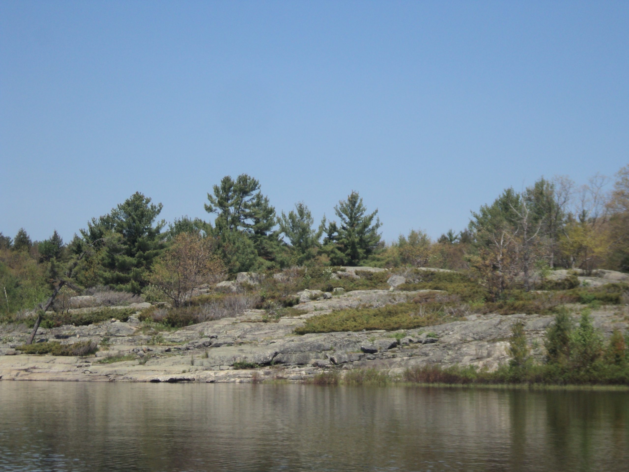
The Massasauga Provincial Park
Fast facts
- Size: about 51 square miles (131 km²)
- Campsites: all water-access only; about 60 bayside sites have food lockers
- Setting: Georgian Bay from Parry Sound south to the Moon River
- Gateway: Parry Sound and MacTier
- Managed by: Ontario Parks
The landscape
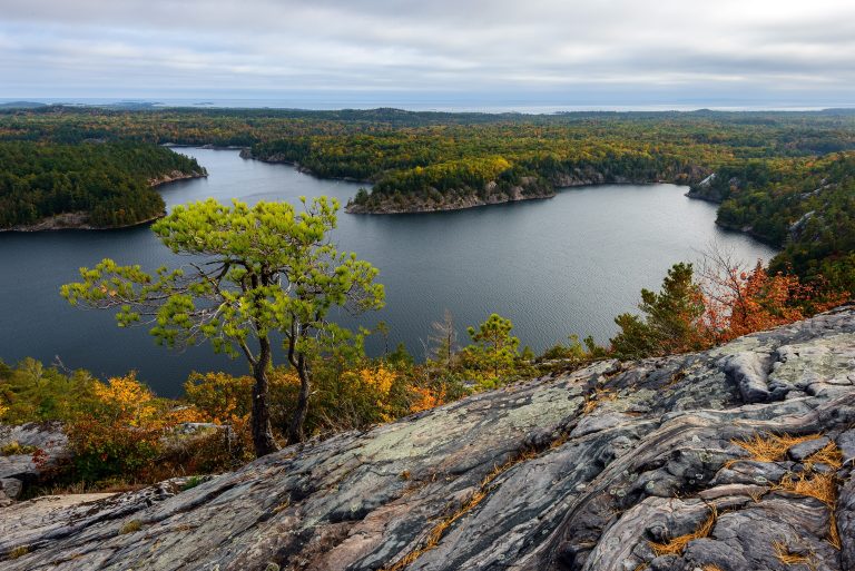
The Massasauga takes in hundreds of windswept islands along the eastern shore of Georgian Bay, part of the Thirty Thousand Islands, plus inland lakes and forest. Smooth pink granite, twisted white pines, narrow bays and towering cliffs define the coast. The park is a protected sanctuary for the eastern massasauga rattlesnake, Ontario’s only venomous snake, and also holds black bears, moose, wolves and many turtles.
Best time to go
Spring, summer and fall are the camping seasons. July and August bring warm water and the most boat traffic. September is quieter, with cooler nights and the risk of fall storms on the bay.
Getting there and around
From Pete’s Place in the south, paddlers head straight out to Georgian Bay. From Three Legged Lake in the north, a portage as short as 1,210 feet (370 m) leads into quieter interior lakes. Every campsite is reached by water. Canoe rentals are available in season.
Things to do
Paddlers explore the islands and inlets by canoe or kayak and camp on granite points. Interior loops offer calmer water and portages. Experienced sea kayakers venture onto the open bay. Swimming, fishing for muskie and bass, and a few short hiking trails round out a trip.
Staying safe
Georgian Bay can turn rough quickly, with big waves in the open and shoals around the islands. Only experienced paddlers with charts should cross open water, and everyone should wear a life jacket and watch for motorboats. Watch where you put your hands and feet, since massasauga rattlesnakes are shy but present; bites need hospital care. Store food in the lockers or away from bears, and leave a trip plan.
Know before you go
Campsites are reserved by site, and permits must be picked up in person. This page is a general overview, not a live conditions report, so confirm current conditions, fire bans and reservations with Ontario Parks before you go.
- Coordinates
- 45.2260, -80.0560
- Magnetic declination
- 10.0° W (2026)
Set this declination on your compass, then align it to the map's north lines; it is the angle between true north and magnetic north, refreshed each year.
How declination works, and how to navigate with a map and compass
A spread of the park’s main places shows straight away, and the rest appear as you zoom in. You can also search above, or pick any place from the lists below, and the map will go to it. Places in bold, marked , have a short description.
Getting there 4
Airstrips
Visitor centre
On the trail 4
Campgrounds
Sights 72
Viewpoints
Lakes
Islands
Map data comes from third-party sources and may be incomplete or out of date, so carry a current official map (terms).
Looking for one of these closer to home?Destinations near me by trip type →
- Best seasons
- Summer, Early fall
- Difficulty
- Easy to strenuous
- Access / trailheads
- Pete's Place on Healey Lake Road (south, bayside) near MacTier, and Three Legged Lake (north, interior) near Parry Sound.
- Water
- Lakes and Georgian Bay; filter or treat all water.
- Cell / satellite coverage
- Fair on parts of Georgian Bay, patchy inland. Carry a marine VHF radio or satellite messenger.
- Nearest ranger / SAR / emergency
- Emergencies: 911. On Georgian Bay, the Canadian Coast Guard monitors VHF channel 16.
- Permits & regulations
- All campsites are water-access only and must be reserved by site. Interior permits are picked up at Pete's Place access point or Oastler Lake Provincial Park.
- Leave No Trace
- Camp only at your reserved site, use the food lockers where provided, give snakes space and pack out all waste.
January
- Below freezing all day
February
- Below freezing all day
March
- Below-freezing nights
April
- Below-freezing nights
May
June
July
August
September
October This month
November
- Below-freezing nights
December
- Below freezing all day
What to bring depends on your trip: how long you’re out, where you sleep, and how far you go from the road. The planner builds the list for yours.
Plan a trip here →Averages for 1981–2010 from Environment Canada climate normals, measured at the Dunchurch station, 28 miles (46 km)46 km (28 miles) away at 880 feet (268 m)268 m (880 feet). Higher trails run colder, by about 3.5°F for every 1,000 ft (2°C per 300 m)2°C for every 300 m (3.5°F per 1,000 ft) of climb. Daylight runs from sunrise to sunset on the 15th, on the park’s own clock, for a level horizon. Valleys and slopes facing away from the sun are in shade earlier.
Nearby parks
-
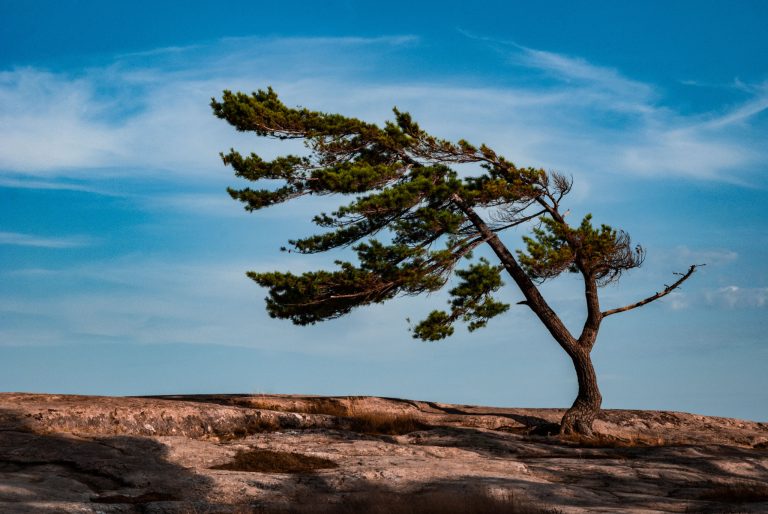 Killbear Provincial Park
Pink granite, sand beaches and windswept pines on more than 7 miles (12 km) of Georgian Bay shore, at one of Ontario's most visited parks.
-
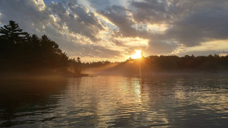 Georgian Bay Islands National Park
Granite islands and windswept pines in the 30,000 Islands, reached by boat, with cabins on Beausoleil Island.
-
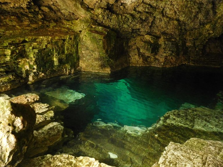 Bruce Peninsula National Park
Limestone cliffs and turquoise Georgian Bay water near Tobermory, with the Grotto and the Bruce Trail's rugged end.
-
 Killarney Provincial Park
White quartzite ridges and clear lakes in the La Cloche Mountains, painted by the Group of Seven, with a 50-mile (80 km) loop.
Straight-line distance between park centres. Road distance is usually longer.
Looking for somewhere closer to home?
See every park and monument within a day’s drive of where you are.