

Grass River Provincial Park
Fast facts
- Established: 1963
- Size: about 880 square miles (2,279 km²)
- History: the Grass River appears on the maps of Samuel Hearne and other fur-trade explorers
- Gateway: The Pas, or Flin Flon
- Managed by: Manitoba Parks
The landscape
Grass River follows a chain of lakes and river channels across the boundary between the Canadian Shield and the Manitoba Lowlands. Granite outcrops and boreal forest of spruce and jack pine line the shore, and the lakes run clear and deep. Woodland caribou thrive here, along with moose, black bears, wolves, wolverines, bald eagles and great grey owls. Anglers come for northern pike, walleye and lake trout.
Best time to go
June to September is paddling season, with the warmest weather in July and August. June is peak bug season. September is cooler and quieter, with colour in the aspen and birch. Wildfire and smoke are possible through the summer.
Getting there and around
From The Pas, PTH 10 runs north and PTH 39 turns east into the park, passing three lakeside campgrounds and canoe put-ins. Paddlers follow the Grass River route east through a series of lakes, with designated backcountry campsites and some lodges along the way.
Things to do
Canoe trips range from a few days on the lakes near the highway to longer routes down the Grass River. Fishing is a major draw. Karst Spring Trail and Wekusko Falls offer short walks, and the park is one of the better places in Manitoba to see woodland caribou.
Staying safe
The larger lakes can build big waves quickly, so stay near shore and wear a life jacket. Scout rapids and use portages. Black bears are present, so store food carefully. Help is far away once you leave the highway, so carry a satellite messenger and leave a trip plan. Check fire conditions before and during your trip.
Know before you go
This page is a general overview, not a live conditions report, so confirm fire closures, campsite status and reservations with Manitoba Parks before you go.
- Coordinates
- 54.6535, -100.7890
- Magnetic declination
- 5.6° E (2026)
Set this declination on your compass, then align it to the map's north lines; it is the angle between true north and magnetic north, refreshed each year.
How declination works, and how to navigate with a map and compass
A spread of the park’s main places shows straight away, and the rest appear as you zoom in. You can also search above, or pick any place from the lists below, and the map will go to it. Places in bold, marked , have a short description.
On the trail 3
Campgrounds
Sights 50
Lakes
Islands
Map data comes from third-party sources and may be incomplete or out of date, so carry a current official map (terms).
Looking for one of these closer to home?Destinations near me by trip type →
- Best seasons
- Summer, Early fall
- Difficulty
- Easy to moderate
- Access / trailheads
- From The Pas, drive north about 46 miles (74 km) on PTH 10, then east on PTH 39 into the park. PR 392 leads to Wekusko Falls.
- Water
- Lakes and rivers; filter or treat all water.
- Cell / satellite coverage
- Limited to none away from the highway. Carry a satellite messenger.
- Nearest ranger / SAR / emergency
- Emergencies: 911. Manitoba Parks: 1-800-214-6497.
- Permits & regulations
- Campgrounds and designated backcountry campsites are available; check with Manitoba Parks for reservations and any registration.
- Leave No Trace
- Use designated campsites, store food from bears, keep fires in existing rings and pack out all waste.
January
- Below freezing all day
February
- Below freezing all day
March
- Below freezing all day
April
- Below-freezing nights
May
June
July
August
September
October This month
- Below-freezing nights
November
- Below freezing all day
December
- Below freezing all day
What to bring depends on your trip: how long you’re out, where you sleep, and how far you go from the road. The planner builds the list for yours.
Plan a trip here →Averages for 1981–2010 from Environment Canada climate normals, measured at the Flin Flon Airport station, 26 miles (41 km)41 km (26 miles) away at 997 feet (304 m)304 m (997 feet). Higher trails run colder, by about 3.5°F for every 1,000 ft (2°C per 300 m)2°C for every 300 m (3.5°F per 1,000 ft) of climb. Daylight runs from sunrise to sunset on the 15th, on the park’s own clock, for a level horizon. Valleys and slopes facing away from the sun are in shade earlier.
Nearby parks
-
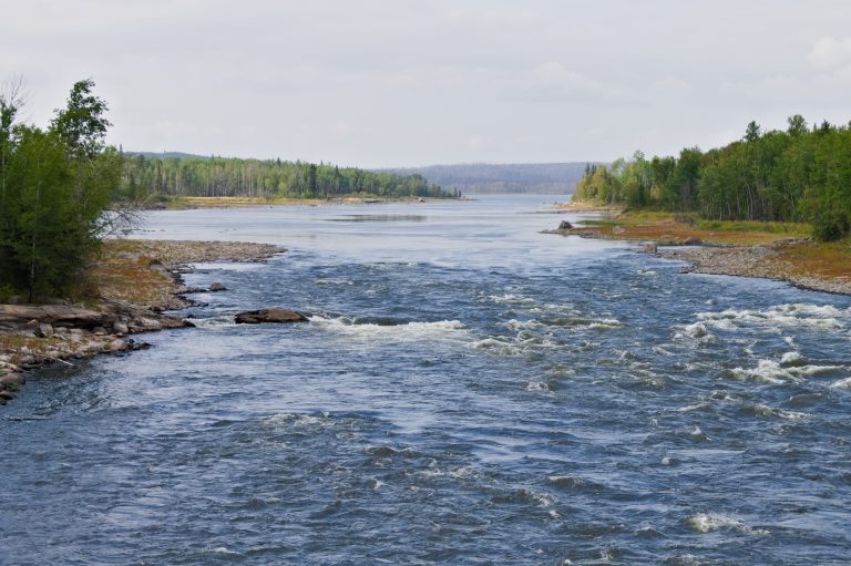 Lac La Ronge Provincial Park
Close to 100 lakes and more than 30 fur-trade canoe routes on the Churchill River system, including Saskatchewan's highest falls.
-
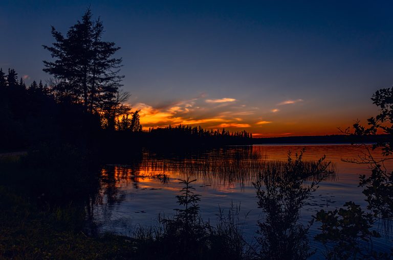 Prince Albert National Park
Boreal lakes and forest in central Saskatchewan, with Grey Owl's cabin at Ajawaan Lake, canoe routes and a free-roaming bison herd.
-
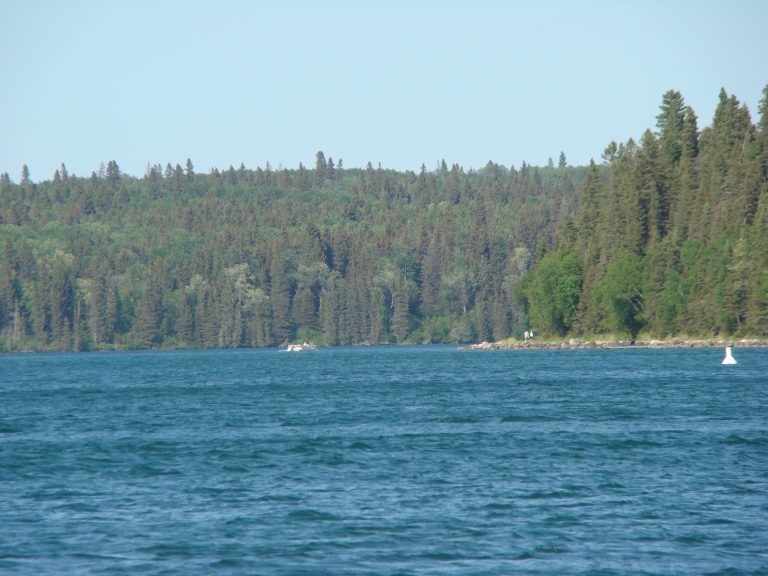 Riding Mountain National Park
An island of forest and lakes rising above the Manitoba prairie, with a bison herd, lakeside Wasagaming and long backcountry trails.
-
 Atikaki Provincial Park
Roadless canoe country on the Manitoba-Ontario border, with ancient pictographs and whitewater on the Bloodvein.
Straight-line distance between park centres. Road distance is usually longer.
Looking for somewhere closer to home?
See every park and monument within a day’s drive of where you are.